Whinny Gill Reservoir

Lake, Pool, Pond, Freshwater Marsh in Yorkshire Craven

England

Whinny Gill Reservoir

Canal Swing Bridge on Leeds and Liverpool Canal
Canal Swing Bridge on Leeds and Liverpool Canal Credit: Les Hull

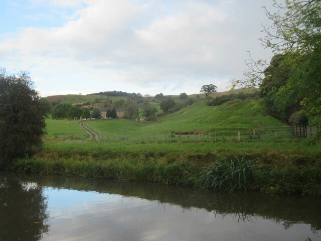
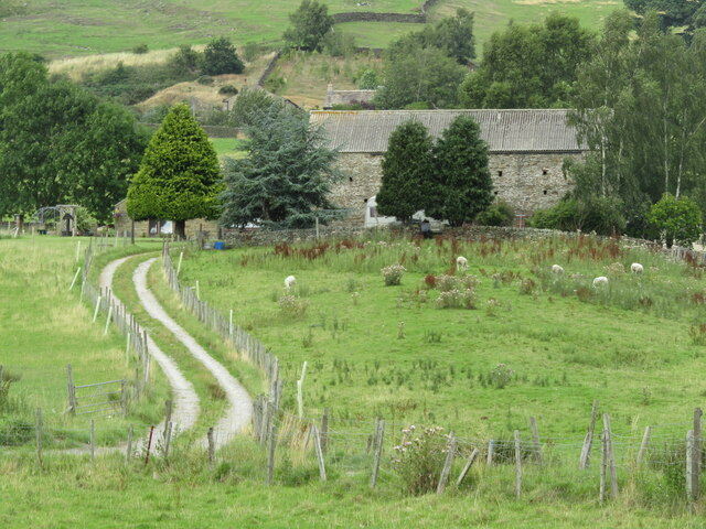
Whinny Gill Reservoir is a freshwater lake located in the Yorkshire Dales National Park in North Yorkshire, England. Spanning an area of approximately 5 hectares, it is nestled in a picturesque valley surrounded by rolling hills and lush greenery. The reservoir serves as an important water source for the local region, supplying water for both domestic and agricultural purposes.

The tranquil waters of Whinny Gill Reservoir are primarily fed by rainfall and natural springs, resulting in a clean and clear body of water. Its depth varies throughout the year, but on average, it reaches a maximum depth of around 6 meters. The reservoir is surrounded by a mix of grassy slopes, shrubs, and trees, providing a diverse habitat for a range of flora and fauna.

The surrounding area of Whinny Gill Reservoir offers several walking trails and picnic spots, making it a popular destination for outdoor enthusiasts and nature lovers. The reservoir attracts a variety of bird species, such as ducks, swans, and herons, making it an ideal spot for birdwatching.

Additionally, fishing is permitted in Whinny Gill Reservoir, allowing anglers to catch fish such as brown trout, rainbow trout, and perch. Fishing permits can be obtained from the local authorities or nearby fishing clubs.

Overall, Whinny Gill Reservoir is a serene and scenic freshwater body that not only serves as a vital water source but also provides recreational opportunities for visitors to enjoy the beauty of the Yorkshire Dales.

If you have any feedback on the listing, please let us know in the comments section below.

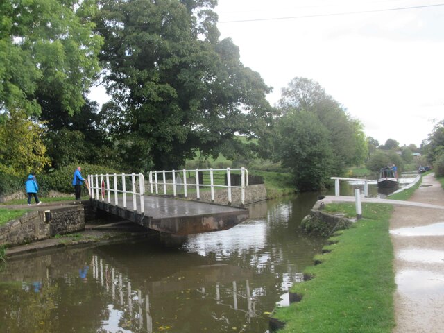
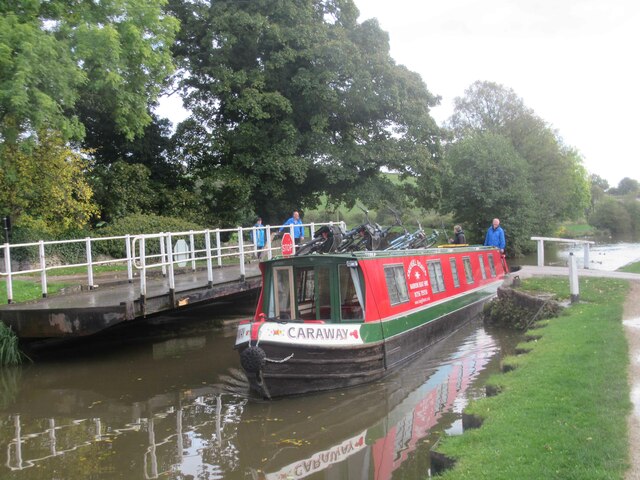
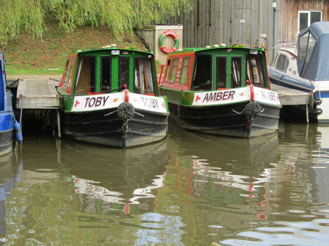
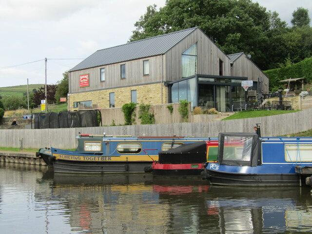
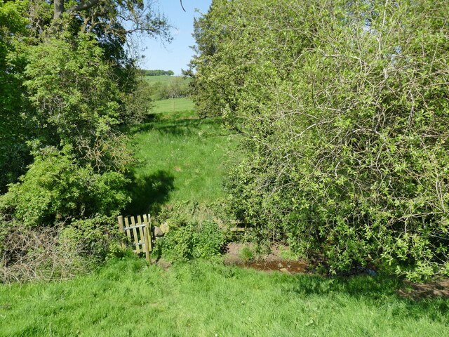
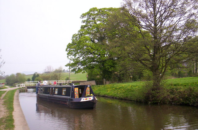
Whinny Gill Reservoir Images

Images are sourced within 2km of 53.955785/-2.0032555 or Grid Reference SD9951. Thanks to Geograph Open Source API. All images are credited.

Canal Swing Bridge on Leeds and Liverpool Canal
Narrow Boat passes through Swing Bridge on Leeds and Liverpoll Canal
Canal and Road to High Laithe Farm
McDonalds on the Airedale Business Centre
Skipton - Secret Garden Outdoor dining area in a garden below the towpath which follows the Leeds & Liverpool Canal at Low Snaygill. Note the plastic pods - an anti-Covid measure (2022).
<span class="nowrap"><a title="www.alexanders-skipton.com" rel="nofollow ugc noopener" href="http://www.alexanders-skipton.com">Link</a><img style="margin-left:2px;" alt="External link" title="External link - shift click to open in new window" src="https://s1.geograph.org.uk/img/external.png" width="10" height="10"/></span>
Skipton - Secret Garden
Outdoor dining area in a garden below the towpath which follows the Leeds & Liverpool Canal at Low Snaygill. Note the plastic pods - an anti-Covid measure (2022). LinkExternal link
Low Snaygill - Leeds & Liverpool Canal Narrowboat "Millie Willows" moored south of Skipton.
Low Snaygill - Leeds & Liverpool Canal
Narrowboat "Millie Willows" moored south of Skipton.
Low Snaygill - Snaygill Farm Farm track leading away from the Leeds & Liverpool Canal south of Skipton.
Low Snaygill - Snaygill Farm
Farm track leading away from the Leeds & Liverpool Canal south of Skipton.
Low Snaygill - Swing Bridge Bridge used by farm traffic crossing the Leeds & Liverpool Canal south of Skipton.
Low Snaygill - Swing Bridge
Bridge used by farm traffic crossing the Leeds & Liverpool Canal south of Skipton.
Low Snaygill - Leeds & Liverpool Canal Narrowboat "Wildflower" moored by Snaygill Boatyard south of Skipton - viewed through Snaygill Stone Bridge.
<span class="nowrap"><a title="www.leedsandliverpoolcanalsociety.co.uk" rel="nofollow ugc noopener" href="http://www.leedsandliverpoolcanalsociety.co.uk">Link</a><img style="margin-left:2px;" alt="External link" title="External link - shift click to open in new window" src="https://s1.geograph.org.uk/img/external.png" width="10" height="10"/></span>
Low Snaygill - Leeds & Liverpool Canal
Narrowboat "Wildflower" moored by Snaygill Boatyard south of Skipton - viewed through Snaygill Stone Bridge. LinkExternal link
Snaygill - Stone Bridge Arched bridge and moored narrowboat on the Leeds and Liverpool Canal.
<span class="nowrap"><a title="www.leedsandliverpoolcanalsociety.co.uk" rel="nofollow ugc noopener" href="http://www.leedsandliverpoolcanalsociety.co.uk">Link</a><img style="margin-left:2px;" alt="External link" title="External link - shift click to open in new window" src="https://s1.geograph.org.uk/img/external.png" width="10" height="10"/></span>
Snaygill - Stone Bridge
Arched bridge and moored narrowboat on the Leeds and Liverpool Canal. LinkExternal link
Snaygill - Boatshed Narrowboats for leisure consumption moored on the Leeds and Liverpool Canal south of Skipton.
<span class="nowrap"><a title="www.leedsandliverpoolcanalsociety.co.uk" rel="nofollow ugc noopener" href="http://www.leedsandliverpoolcanalsociety.co.uk">Link</a><img style="margin-left:2px;" alt="External link" title="External link - shift click to open in new window" src="https://s1.geograph.org.uk/img/external.png" width="10" height="10"/></span>
Snaygill - Boatshed
Narrowboats for leisure consumption moored on the Leeds and Liverpool Canal south of Skipton. LinkExternal link
Snaygill Boats - Toby and Amber Narrowboats for hire on the Leeds and Liverpool Canal south of Skipton.
<span class="nowrap"><a title="www.leedsandliverpoolcanalsociety.co.uk" rel="nofollow ugc noopener" href="http://www.leedsandliverpoolcanalsociety.co.uk">Link</a><img style="margin-left:2px;" alt="External link" title="External link - shift click to open in new window" src="https://s1.geograph.org.uk/img/external.png" width="10" height="10"/></span>
Snaygill Boats - Toby and Amber
Narrowboats for hire on the Leeds and Liverpool Canal south of Skipton. LinkExternal link
Snaygill Boats Narrowboat "Achieving Together" and friends moored on the Leeds and Liverpool Canal south of Skipton.
<span class="nowrap"><a title="www.leedsandliverpoolcanalsociety.co.uk" rel="nofollow ugc noopener" href="http://www.leedsandliverpoolcanalsociety.co.uk">Link</a><img style="margin-left:2px;" alt="External link" title="External link - shift click to open in new window" src="https://s1.geograph.org.uk/img/external.png" width="10" height="10"/></span>
Snaygill Boats
Narrowboat "Achieving Together" and friends moored on the Leeds and Liverpool Canal south of Skipton. LinkExternal link
"Achieving Together" at Snaygill Boats One of the moored canal boats at Snaygill Boatyard.
"Achieving Together" at Snaygill Boats
One of the moored canal boats at Snaygill Boatyard.
Shades of green below High Bradley A lovely late spring view of Airedale (if it weren't for the ugly sheds of the Snaygill Industrial Estate in the distance).
Shades of green below High Bradley
A lovely late spring view of Airedale (if it weren't for the ugly sheds of the Snaygill Industrial Estate in the distance).
Gate on a footpath at Gill Bottom The beck among these trees is the parish boundary between Bradleys Both and Skipton.
Gate on a footpath at Gill Bottom
The beck among these trees is the parish boundary between Bradleys Both and Skipton.
Low Snaygill swing bridge
Show me another place!

Whinny Gill Reservoir is located at Grid Ref: SD9951 (Lat: 53.955785, Lng: -2.0032555)

Division: West Riding

Administrative County: North Yorkshire

District: Craven

Police Authority: North Yorkshire

What 3 Words

///nozzle.alienated.lunch. Near Skipton, North Yorkshire

Related Wikis

Skipton Rural District

Skipton was a rural district in the West Riding of Yorkshire from 1894 to 1974. It was named after Skipton, which constituted an urban district on its...

Otley Road drill hall, Skipton

The Otley Road drill hall, sometimes known as Wellington House, is a former military installation in Skipton, North Yorkshire, England. == History == The...

Plaza Cinema, Skipton

The Plaza Cinema is a traditional cinema located in Skipton, North Yorkshire, England. It is the sole survivor of four cinemas that once existed in the...
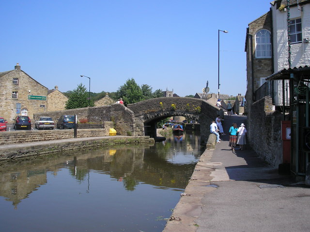
Thanet Canal

The Thanet Canal, also known as the Springs Branch, is a short branch of the Leeds and Liverpool Canal, in North Yorkshire, England. It leaves the main...

Nearby Amenities

Located within 500m of 53.955785,-2.0032555
Turning Circle
Lat/Long: 53.9569795/-2.0014234
Turning Circle
Lat/Long: 53.9564117/-2.0078733
Turning Circle
Lat/Long: 53.9583251/-2.0077723
Turning Circle
Lat/Long: 53.9584336/-2.0069384
Turning Circle
Lat/Long: 53.9585355/-2.0060895
Turning Circle
Lat/Long: 53.9576538/-2.0040382
Turning Circle
Lat/Long: 53.9565805/-2.000653
Turning Circle
Lat/Long: 53.9571837/-1.9984223
Turning Circle
Lat/Long: 53.958757/-2.0027958
Turning Circle
Lat/Long: 53.9597981/-2.0028904
Turning Circle
Lat/Long: 53.9599356/-2.0020658
Power: pole
Lat/Long: 53.9543464/-1.9984336
Power: pole
Source: Bing
Lat/Long: 53.9531911/-1.9978167
Power: pole
Source: Bing
Lat/Long: 53.9537908/-1.9981117
Power: pole
Source: Bing
Lat/Long: 53.9546149/-1.9978458
Post Box
Post Box Type: pillar
Ref: BD23 107
Royal Cypher: GR
Royal Cypher Wikidata: Q33102273
Source: survey
Lat/Long: 53.9582221/-2.0027372
Telephone
Booth: KX100
Check Date: 2021-08-08
Covered: booth
Source: survey
Lat/Long: 53.9586862/-2.0046314
Post Box
Ref: BD23 138
Source: survey
Lat/Long: 53.9564375/-2.0088747
Barrier: stile
Stile: stepover
Lat/Long: 53.9555792/-2.0056238
Barrier: stile
Stile: stepover
Lat/Long: 53.9544136/-2.0067467
Turning Circle
Lat/Long: 53.9578871/-2.0064015
Turning Circle
Lat/Long: 53.9553478/-2.0104148
Power: pole
Source: Bing
Lat/Long: 53.9563377/-1.9973124
Barrier: kissing_gate
Material: wood
Lat/Long: 53.954094/-2.0101244
Power: pole
Lat/Long: 53.9574662/-1.996493
Traffic Calming: bump
Lat/Long: 53.9548717/-2.0103167
Traffic Calming: bump
Lat/Long: 53.956168/-2.0089348
Turning Circle
Lat/Long: 53.9578427/-2.004178
Turning Circle
Lat/Long: 53.9548294/-2.0029009
Turning Circle
Lat/Long: 53.9561118/-2.0014493
Man Made: mast
Lat/Long: 53.9547949/-2.0042612
Man Made: mast
Lat/Long: 53.9576726/-2.0031666
Turning Circle
Lat/Long: 53.9574343/-2.0034812
Turning Circle
Lat/Long: 53.9578034/-1.9979759
Barrier: stile
Stile: ladder
Lat/Long: 53.9521293/-2.0005641
Power: pole
Lat/Long: 53.9558299/-1.9990584
Power: pole
Lat/Long: 53.9552143/-1.998978
Power: pole
Source: Maxar-Premium
Lat/Long: 53.953886/-1.9965774
Power: pole
Source: Maxar-Premium
Lat/Long: 53.9557012/-1.9975385
Generator Method: photovoltaic
Generator Output Electricity: yes
Generator Source: solar
Generator Type: solar_photovoltaic_panel
Location: roof
Power: generator
Lat/Long: 53.9596614/-2.0054066
Generator Method: photovoltaic
Generator Output Electricity: yes
Generator Source: solar
Generator Type: solar_photovoltaic_panel
Location: roof
Power: generator
Lat/Long: 53.9596275/-2.0052068
Generator Method: photovoltaic
Generator Output Electricity: yes
Generator Source: solar
Generator Type: solar_photovoltaic_panel
Location: roof
Power: generator
Lat/Long: 53.9593994/-2.0056843
Generator Method: photovoltaic
Generator Output Electricity: yes
Generator Source: solar
Generator Type: solar_photovoltaic_panel
Location: roof
Power: generator
Lat/Long: 53.9598768/-2.0032488
Generator Method: photovoltaic
Generator Output Electricity: yes
Generator Source: solar
Generator Type: solar_photovoltaic_panel
Location: roof
Power: generator
Lat/Long: 53.9599068/-2.0029551
Generator Method: photovoltaic
Generator Output Electricity: yes
Generator Source: solar
Generator Type: solar_photovoltaic_panel
Location: roof
Power: generator
Lat/Long: 53.9584447/-2.0029712
Generator Method: photovoltaic
Generator Output Electricity: yes
Generator Source: solar
Generator Type: solar_photovoltaic_panel
Location: roof
Power: generator
Lat/Long: 53.957718/-2.0058331
Generator Method: photovoltaic
Generator Output Electricity: yes
Generator Source: solar
Generator Type: solar_photovoltaic_panel
Location: roof
Power: generator
Lat/Long: 53.9575499/-2.0066512
Generator Method: photovoltaic
Generator Output Electricity: yes
Generator Source: solar
Generator Type: solar_photovoltaic_panel
Location: roof
Power: generator
Lat/Long: 53.9574781/-2.0068108
Generator Method: photovoltaic
Generator Output Electricity: yes
Generator Source: solar
Generator Type: solar_photovoltaic_panel
Location: roof
Power: generator
Lat/Long: 53.9572011/-2.0073405
Generator Method: photovoltaic
Generator Output Electricity: yes
Generator Source: solar
Generator Type: solar_photovoltaic_panel
Location: roof
Power: generator
Lat/Long: 53.9572027/-2.0075631
Generator Method: photovoltaic
Generator Output Electricity: yes
Generator Source: solar
Generator Type: solar_photovoltaic_panel
Location: roof
Power: generator
Lat/Long: 53.957037/-2.0064098
Generator Method: photovoltaic
Generator Output Electricity: yes
Generator Source: solar
Generator Type: solar_photovoltaic_panel
Location: roof
Power: generator
Lat/Long: 53.9569691/-2.0061188
Generator Method: photovoltaic
Generator Output Electricity: yes
Generator Source: solar
Generator Type: solar_photovoltaic_panel
Location: roof
Power: generator
Lat/Long: 53.9568626/-2.0072587
Generator Method: photovoltaic
Generator Output Electricity: yes
Generator Source: solar
Generator Type: solar_photovoltaic_panel
Location: roof
Power: generator
Lat/Long: 53.9568097/-2.007193
Generator Method: photovoltaic
Generator Output Electricity: yes
Generator Source: solar
Generator Type: solar_photovoltaic_panel
Location: roof
Power: generator
Lat/Long: 53.9560348/-2.0074035
Generator Method: photovoltaic
Generator Output Electricity: yes
Generator Source: solar
Generator Type: solar_photovoltaic_panel
Location: roof
Power: generator
Lat/Long: 53.9558517/-2.0068349
Generator Method: photovoltaic
Generator Output Electricity: yes
Generator Source: solar
Generator Type: solar_photovoltaic_panel
Location: roof
Power: generator
Lat/Long: 53.9562952/-2.0049641
Power: pole
Lat/Long: 53.9561857/-1.9989994
Material: steel
Power: pole
Lat/Long: 53.9561715/-2.0009319
Material: steel
Power: pole
Lat/Long: 53.9555647/-2.0001152
Power: pole
Lat/Long: 53.9550392/-1.9994232
Power: pole
Lat/Long: 53.9543652/-1.9991335
Power: pole
Lat/Long: 53.9536155/-1.9988224
Power: pole
Lat/Long: 53.9531136/-1.9986051
Power: pole
Lat/Long: 53.9526464/-1.9984093
Waste Basket
Colour: black
Material: plastic
Operator: CDC
Waste: trash
Lat/Long: 53.9571577/-2.0093567
Waste Basket
Waste: dog_excrement
Lat/Long: 53.9553657/-2.0098757
Bench
Backrest: yes
Lat/Long: 53.9553369/-2.0099154
Waste Basket
Waste: dog_excrement
Lat/Long: 53.9550868/-2.0101653
Waste Basket
Waste: trash
Lat/Long: 53.9596229/-2.0071573
Waste Basket
Waste: dog_excrement
Lat/Long: 53.9566424/-1.9989654
Defibrillator
Defibrillator Location: Outside wall on gable end
Emergency: defibrillator
Indoor: no
Lat/Long: 53.9549494/-2.0100712
Bench
Backrest: yes
Material: wood
Lat/Long: 53.9587962/-2.004179
Waste Basket
Waste: trash
Lat/Long: 53.95767/-2.0101004
Waste Basket
Waste: dog_excrement
Lat/Long: 53.9576523/-2.0101004
Greatwood
Place: suburb
Lat/Long: 53.9582964/-2.0030685
The data included in this document is from www.openstreetmap.org. The data is made available under ODbL.

Have you been to Whinny Gill Reservoir?

Leave your review of Whinny Gill Reservoir below (or comments, questions and feedback).