Dowdeswell Reservoir

Lake, Pool, Pond, Freshwater Marsh in Gloucestershire Cotswold

England

Dowdeswell Reservoir

Communication Mast, St Paul's Epistle Sited near the summit of St.Paul's Epistle this communications mast overlooks the A436 and much lower down in the valley the A40.
Communication Mast, St Paul's Epistle Credit: Terry Jacombs

Dowdeswell Reservoir is a freshwater lake located in the county of Gloucestershire, England. It is nestled in the picturesque Cotswold Hills, approximately four miles southeast of the town of Cheltenham. The reservoir covers an area of around 65 acres and is surrounded by lush greenery, making it a popular destination for nature enthusiasts and outdoor activities.

The reservoir was created in the 1950s by damming a small valley and is primarily used as a water supply for the nearby town of Cheltenham. Its clear, calm waters are home to a variety of aquatic plants and wildlife, including waterfowl, fish, and insects.

The lake is a haven for birdwatchers, attracting a diverse range of species such as herons, swans, and ducks. It also serves as a breeding ground for several species of dragonflies and damselflies, adding to its ecological significance.

Surrounding the reservoir is a network of footpaths and trails that allow visitors to explore the area and enjoy the serene beauty of the countryside. The landscape is dotted with trees and shrubs, providing ample shade and creating a tranquil atmosphere.

Fishing is permitted at Dowdeswell Reservoir, and anglers can expect to find a variety of fish species, including carp, roach, bream, and perch. A fishing permit is required to fish in the reservoir, which can be obtained from the local fishing association.

Overall, Dowdeswell Reservoir is a peaceful and scenic location, offering a range of recreational opportunities for visitors to enjoy the beauty of Gloucestershire's countryside and its diverse wildlife.

If you have any feedback on the listing, please let us know in the comments section below.

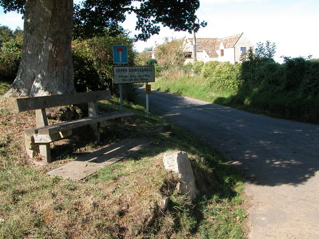
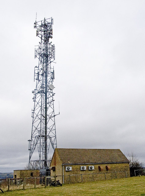
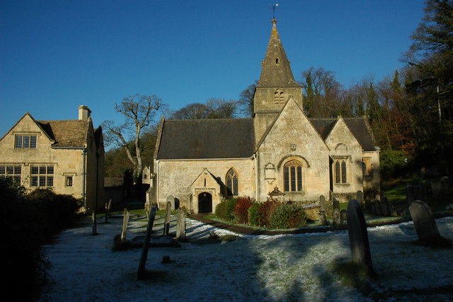
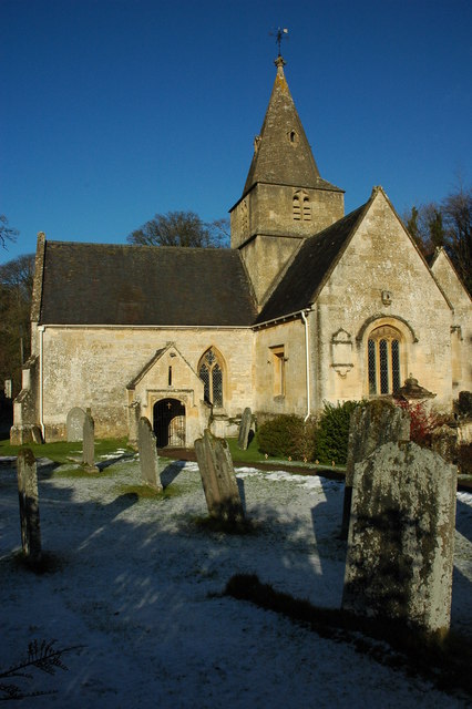
Dowdeswell Reservoir Images

Images are sourced within 2km of 51.876137/-2.0162515 or Grid Reference SO9819. Thanks to Geograph Open Source API. All images are credited.

Communication Mast, St Paul's Epistle Sited near the summit of St.Paul's Epistle this communications mast overlooks the A436 and much lower down in the valley the A40.
Communication Mast, St Paul's Epistle
Sited near the summit of St.Paul's Epistle this communications mast overlooks the A436 and much lower down in the valley the A40.
A436 at Kilkenny The A436 runs across this square east to west and carries a heavy volume of traffic heading for the M5 from the A40, avoiding Cheltenham, on a narrow A road.
A436 at Kilkenny
The A436 runs across this square east to west and carries a heavy volume of traffic heading for the M5 from the A40, avoiding Cheltenham, on a narrow A road.
The Manor House, Upper Dowdeswell Situated on a dead end lane off a quiet cross country lane, the hamlet of Upper Dowdeswell and its old manor house sees few visitors.
The Manor House, Upper Dowdeswell
Situated on a dead end lane off a quiet cross country lane, the hamlet of Upper Dowdeswell and its old manor house sees few visitors.
Public Water Tap, Upper Dowdeswell This water tap is housed in a purpose built alcove in the walls of the Manor House.
Public Water Tap, Upper Dowdeswell
This water tap is housed in a purpose built alcove in the walls of the Manor House.
Dowdeswell Church Viewed from the north.
Dowdeswell Church
Viewed from the north.
Upper Dowdeswell Seat under a tree at the road junction for Upper Dowdeswell.
Upper Dowdeswell
Seat under a tree at the road junction for Upper Dowdeswell.
Andoversford Relay Transmitter The transmitter and mast are operated by Arqiva, part of a multinational communications conglomerate with Australian roots, Macquaries.  The site was originally built for the Independent Broadcasting Authority and is an analogue TV relay station for Ridge Hill transmitter nr Much Marcle.
Andoversford Relay Transmitter
The transmitter and mast are operated by Arqiva, part of a multinational communications conglomerate with Australian roots, Macquaries. The site was originally built for the Independent Broadcasting Authority and is an analogue TV relay station for Ridge Hill transmitter nr Much Marcle.
Road climbing towards St Paul's Epistle
Entrance to Kilkenny viewpoint
Farmland, Dowdeswell A stubble field and view over the Chelt valley.
Farmland, Dowdeswell
A stubble field and view over the Chelt valley.
Upper Dowdeswell only The minor road across the image runs from Kilkenny to the A40.
Upper Dowdeswell only
The minor road across the image runs from Kilkenny to the A40.
Roads and driveway meet The road comes from Kilkenny behind the camera and runs straight ahead to the A40.  The turning to the right goes to Upper Dowdsewell.  To the left is the driveway to Heylens Farm.
Roads and driveway meet
The road comes from Kilkenny behind the camera and runs straight ahead to the A40. The turning to the right goes to Upper Dowdsewell. To the left is the driveway to Heylens Farm.
Driveway to Heylens Farm Seen from the minor road.
Driveway to Heylens Farm
Seen from the minor road.
Old quarry workings at the Kilkenny viewpoint
Picnic table at the Kilkenny viewpoint
Dowdeswell Church The church at Lower Dowdeswell serves the parishes of Dowdeswell and Andersford.
Dowdeswell Church
The church at Lower Dowdeswell serves the parishes of Dowdeswell and Andersford.
Dowdeswell Church The church at Lower Dowdeswell serves the parishes of Dowdeswell and Andersford.
Dowdeswell Church
The church at Lower Dowdeswell serves the parishes of Dowdeswell and Andersford.
The spire of Dowdeswell Church The church at Lower Dowdeswell serves the parishes of Dowdeswell and Andersford.
The spire of Dowdeswell Church
The church at Lower Dowdeswell serves the parishes of Dowdeswell and Andersford.
Show me another place!

Dowdeswell Reservoir is located at Grid Ref: SO9819 (Lat: 51.876137, Lng: -2.0162515)

Administrative County: Gloucestershire

District: Cotswold

Police Authority: Gloucestershire

What 3 Words

///adopt.clay.defeat. Near Charlton Kings, Gloucestershire

Nearby Locations

Dowdeswell Reservoir

Related Wikis

Dowdeswell Reservoir

Dowdeswell Reservoir and former water treatment works lie below the parish of Dowdeswell in Gloucestershire. They were originally built by Cheltenham...

Lineover Wood

Lineover Wood (grid reference SO987187) is a 20.3-hectare (50-acre) biological Site of Special Scientific Interest in Gloucestershire, notified in 1986...

A40 road

The A40 is a trunk road which runs between London and Goodwick (Fishguard), Wales, and officially called The London to Fishguard Trunk Road (A40) in all...

Dowdeswell

Dowdeswell is a civil parish in the ward of Chedworth, Cotswold, in the ceremonial county of Gloucestershire, England. It is separated into Upper and Lower...

Nearby Amenities

Located within 500m of 51.876137,-2.0162515
Bus Stop
Reservoir Inn
Bus: yes
Naptan AtcoCode: 1600GLA829
Naptan Bearing: SE
Naptan CommonName: Reservoir Inn
Naptan Indicator: Opp
Naptan NaptanCode: glodwjdw
Naptan Street: London Rd A40
Naptan Verified: no
Public Transport: platform
Source: naptan_import
Lat/Long: 51.8760939/-2.0232859
Bus Stop
Reservoir Inn
Bus: yes
Naptan AtcoCode: 1600GLA830
Naptan Bearing: NW
Naptan CommonName: Reservoir Inn
Naptan NaptanCode: glodwjdp
Naptan Street: London Rd A40
Naptan Verified: no
Public Transport: platform
Source: naptan_import
Lat/Long: 51.8760579/-2.0234892
Power: tower
Ref: ZF 327
Source: bing
Source Ref: extrapolation
Lat/Long: 51.8795514/-2.0191578
Power: tower
Ref: ZF 328
Source: bing
Source Ref: extrapolation
Lat/Long: 51.8752216/-2.0227035
Restaurant
Koloshi
Note: Indian restaurant and bar
Lat/Long: 51.8758449/-2.0230989
Power: pole
Lat/Long: 51.8732798/-2.0201708
Power: pole
Lat/Long: 51.8726898/-2.0196868
Information: guidepost
Tourism: information
Lat/Long: 51.8743758/-2.0211637
Leisure: picnic_table
Lat/Long: 51.8754572/-2.0220391
Tourism: information
Lat/Long: 51.874042/-2.0204328
Tourism: information
Lat/Long: 51.8744725/-2.0208246
Information: guidepost
Tourism: information
Lat/Long: 51.8722273/-2.0191273
Power: pole
Lat/Long: 51.8736014/-2.0217808
Power: pole
Lat/Long: 51.872207/-2.0192756
Rossley Manor
Power: pole
Transformer: distribution
Voltage Primary: 11000
Lat/Long: 51.8737496/-2.0152355
Power: pole
Lat/Long: 51.8738464/-2.016535
Power: pole
Lat/Long: 51.8758299/-2.0093051
Power: pole
Lat/Long: 51.8750681/-2.0127022
Power: pole
Lat/Long: 51.8746651/-2.0160227
Power: pole
Lat/Long: 51.8756179/-2.0098593
Power: pole
Lat/Long: 51.8753993/-2.0104364
Power: pole
Lat/Long: 51.8752747/-2.0110881
Power: pole
Lat/Long: 51.8751907/-2.0118975
Power: pole
Lat/Long: 51.8749915/-2.0133412
Power: pole
Lat/Long: 51.8748388/-2.0142478
Power: pole
Lat/Long: 51.8747667/-2.0148365
Power: pole
Lat/Long: 51.87471/-2.0154628
Power: pole
Lat/Long: 51.8745461/-2.0163862
Power: pole
Lat/Long: 51.8743846/-2.0167959
Power: pole
Lat/Long: 51.8739475/-2.0178587
Power: pole
Lat/Long: 51.8740489/-2.0191918
Power: pole
Lat/Long: 51.8741102/-2.0203612
Power: pole
Lat/Long: 51.8738899/-2.0206837
Power: pole
Lat/Long: 51.8741826/-2.0202593
Langettes Bungalow
Power: pole
Transformer: distribution
Voltage Primary: 11000
Lat/Long: 51.8758907/-2.0216346
The data included in this document is from www.openstreetmap.org. The data is made available under ODbL.

Have you been to Dowdeswell Reservoir?

Leave your review of Dowdeswell Reservoir below (or comments, questions and feedback).