Causeway Green Branch
Lake, Pool, Pond, Freshwater Marsh in Worcestershire
England
Causeway Green Branch
Causeway Green Branch is a freshwater marsh located in Worcestershire, England. It is an important natural feature, providing a habitat for various aquatic species and offering recreational opportunities for visitors.
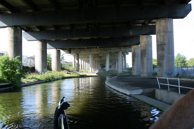
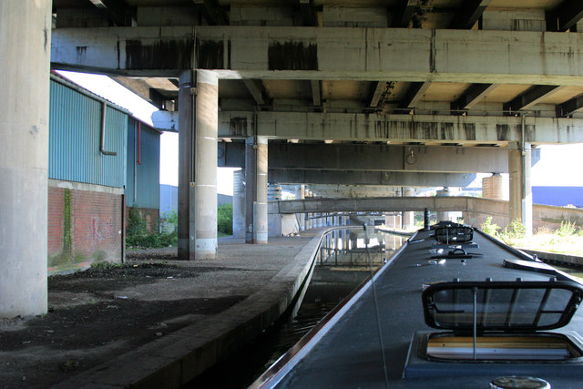
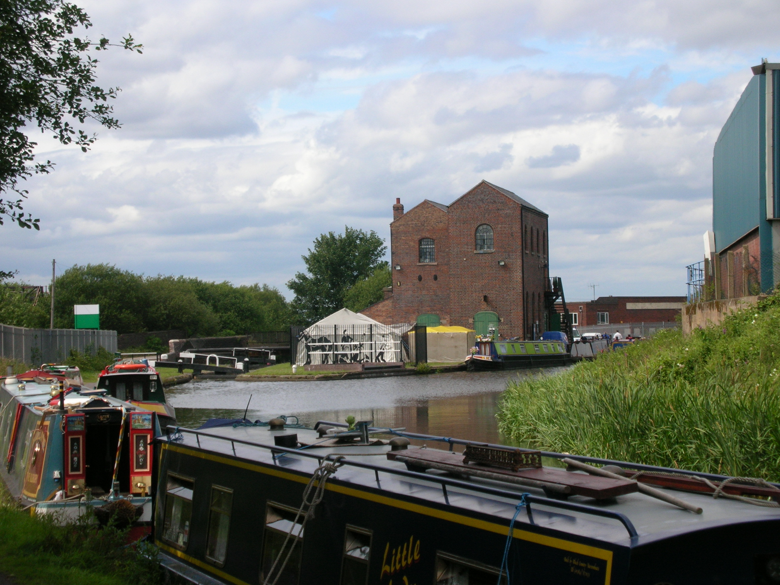
The marsh is situated within a larger area that includes a lake, pool, and pond, forming a diverse ecosystem. The lake is a sizable body of water that serves as the main attraction of the area. It is surrounded by lush vegetation and offers a picturesque view for nature enthusiasts. The pool and pond are smaller in size but equally contribute to the overall beauty and ecological significance of the site.
The freshwater marsh itself is characterized by its wetland vegetation, including reeds, rushes, and water lilies. These plants thrive in the marshy conditions, providing shelter and nesting sites for numerous bird species, such as herons and kingfishers. Additionally, the marsh supports a variety of amphibians, including frogs and newts, as well as insects like dragonflies and water beetles.
Visitors to Causeway Green Branch can enjoy activities such as birdwatching, fishing, and nature walks. The marsh is a haven for birdwatchers, who can observe a diverse range of waterfowl and other avian species. The calm waters of the pool and pond also attract anglers, who can try their luck at catching freshwater fish.
Overall, Causeway Green Branch in Worcestershire offers a tranquil and biodiverse environment, making it an appealing destination for both nature lovers and outdoor enthusiasts.
If you have any feedback on the listing, please let us know in the comments section below.
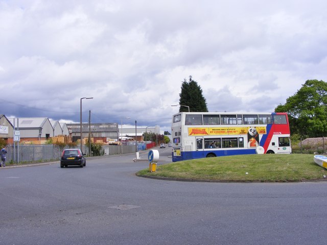
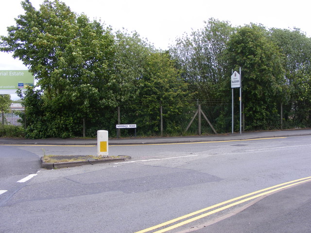
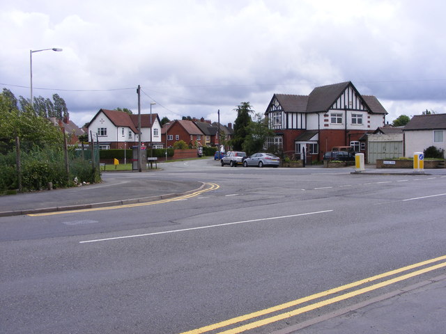
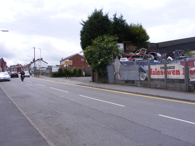
Causeway Green Branch Images
Images are sourced within 2km of 52.486532/-2.0219868 or Grid Reference SO9887. Thanks to Geograph Open Source API. All images are credited.

Causeway Green Branch is located at Grid Ref: SO9887 (Lat: 52.486532, Lng: -2.0219868)
Unitary Authority: Sandwell
Police Authority: West Midlands
What 3 Words
///status.poppy.stove. Near Oldbury, West Midlands
Nearby Locations
Related Wikis

Oldbury Academy
Oldbury Academy (formerly Oldbury College of Sport) is a mixed secondary school and former sixth form located in Oldbury, West Midlands, England. It opened...
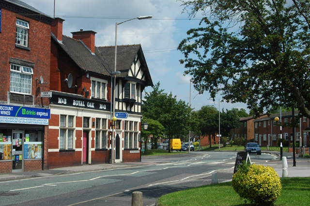
Langley Green, West Midlands
Langley Green is an area of Oldbury, on the B4169 road, in the Metropolitan Borough of Sandwell, in the English county of West Midlands. The appropriate...
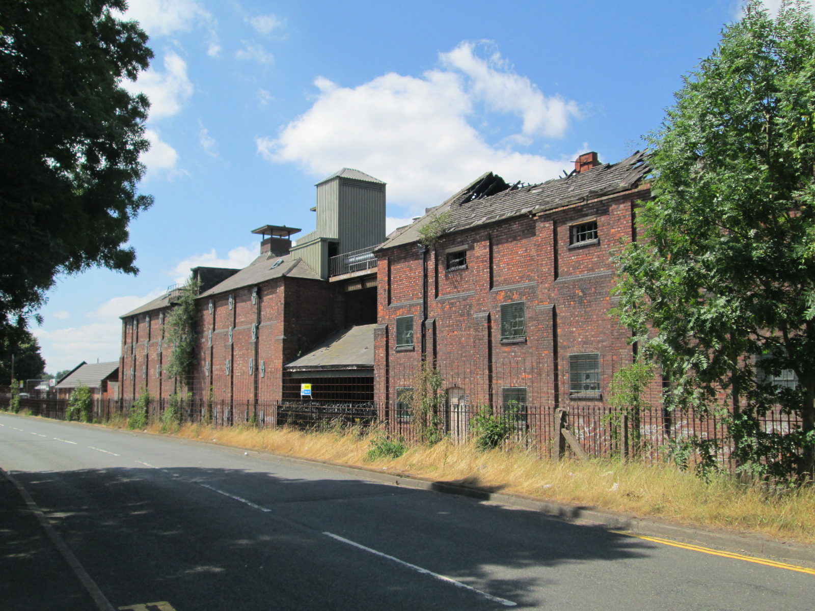
Langley Maltings
Langley Maltings is a former maltings in Oldbury, West Midlands, England. Built in 1898, it was in operation until 2006. It was damaged by fire in 2009...
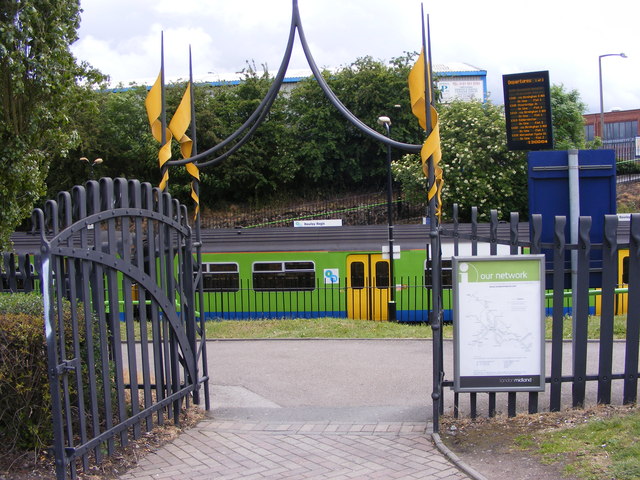
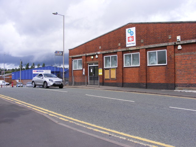
Rowley Regis railway station
Rowley Regis railway station serves the town of Blackheath and the Rowley Regis area of Sandwell, in the county of West Midlands, England. It is located...
St Michael's Church of England High School, Rowley Regis
St Michael's Church of England High School is a coeducational Church of England secondary school located in Rowley Regis, West Midlands, England. It was...
Q3 Academy Langley
Q3 Academy Langley is a coeducational secondary school located in the Langley Green area of Oldbury in the West Midlands of England.There has been a school...
Titford Canal
The Titford Canal (grid reference SO984880) is a narrow (7 foot) canal, a short branch of the Birmingham Canal Navigations (BCN) in Oldbury, West Midlands...

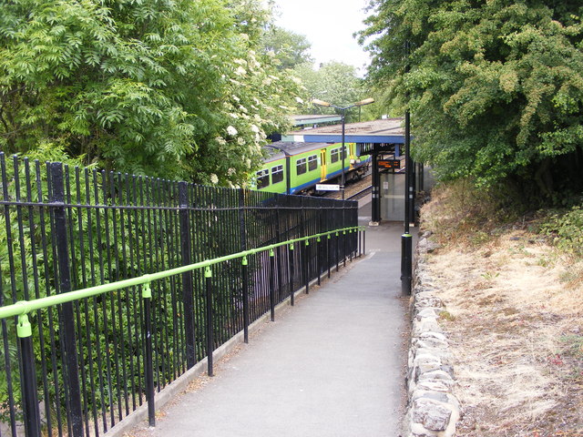
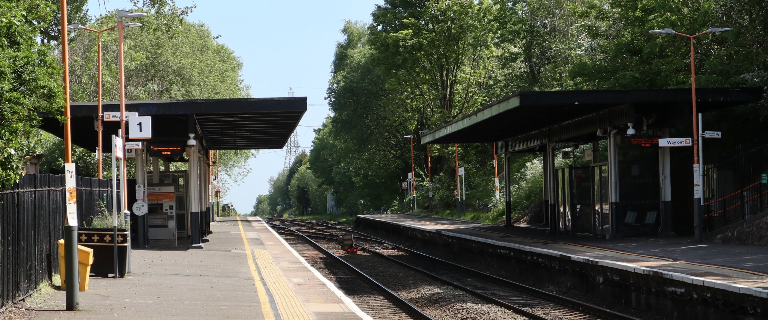
Langley Green railway station
Langley Green railway station serves the Langley Green area of Oldbury in Sandwell, in the West Midlands, England. It is located on the Birmingham to...
Nearby Amenities
Located within 500m of 52.486532,-2.0219868Have you been to Causeway Green Branch?
Leave your review of Causeway Green Branch below (or comments, questions and feedback).