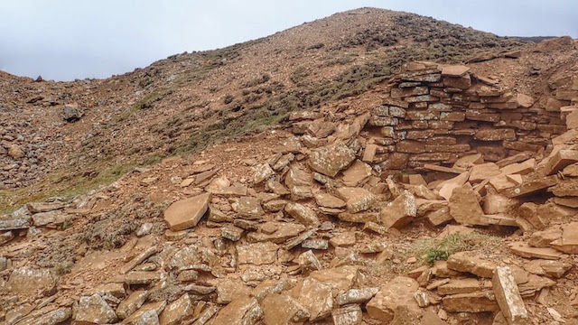
Aberdene Tarn

Lake, Pool, Pond, Freshwater Marsh in Yorkshire Richmondshire

England

Aberdene Tarn

Ruins of Plaintree House Once a farmhouse on High Whitaside, this ruin would appear to have been abandoned over 50 years ago.
Ruins of Plaintree House Credit: Gordon Hatton

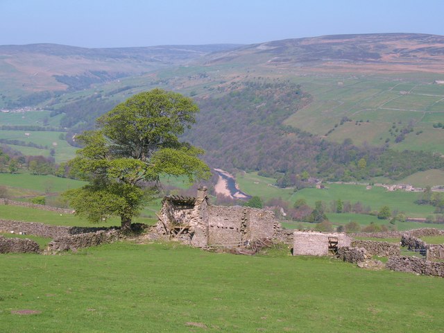
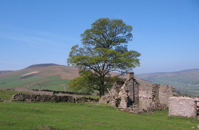
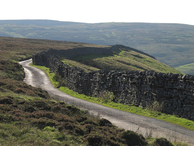
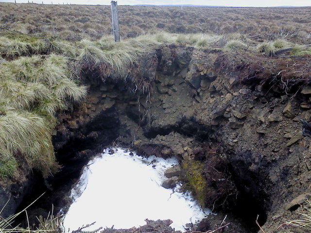
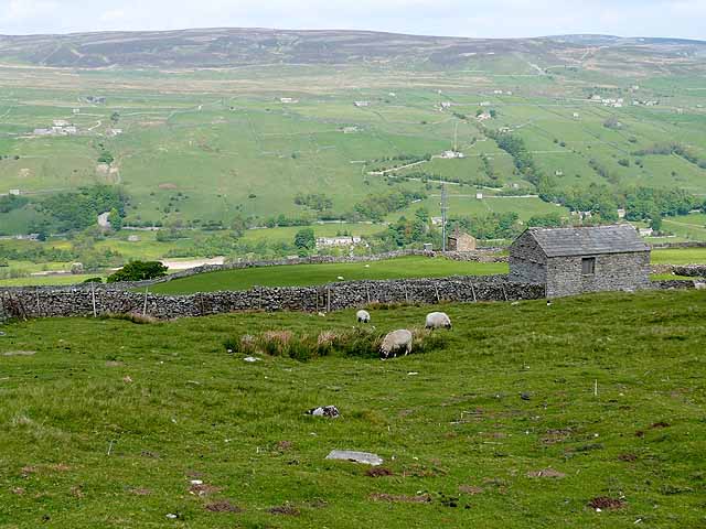
Aberdene Tarn is a picturesque freshwater lake nestled in the scenic countryside of Yorkshire, England. Located near the village of Aberdene, this natural wonder is a popular destination for locals and tourists alike. Spanning an area of approximately 10 acres, it is a relatively small yet captivating body of water.

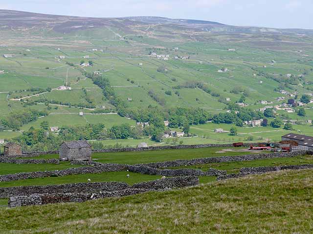
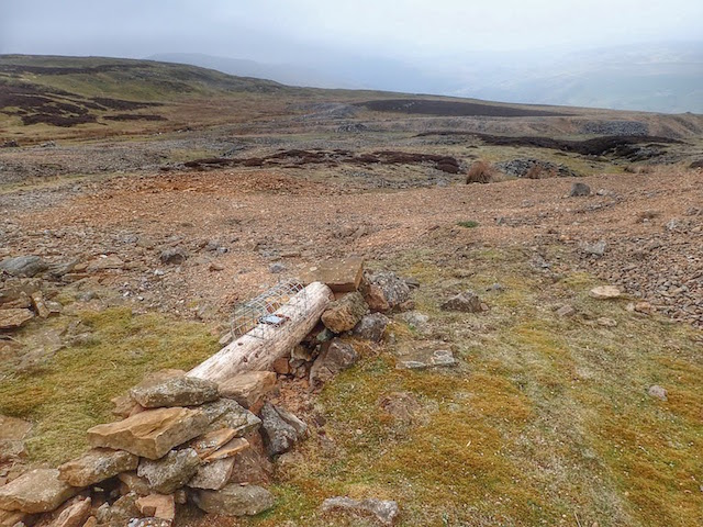
Surrounded by lush greenery and rolling hills, Aberdene Tarn offers a serene and tranquil atmosphere. The crystal-clear water reflects the beauty of its surroundings, creating a breathtaking sight. The lake is fed by a natural spring, ensuring its pristine and pure quality.

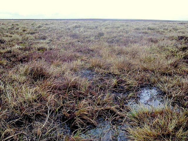
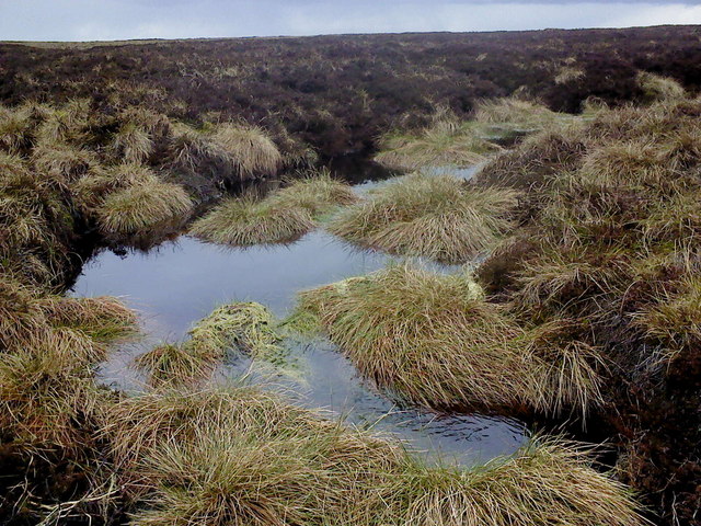
The diverse flora and fauna surrounding Aberdene Tarn contribute to its ecological significance. The area is home to a variety of aquatic plants, such as water lilies and reeds, which provide shelter and food for numerous species of birds and insects. Birdwatchers can often spot a range of waterfowl, including ducks, geese, and swans, gracefully gliding across the lake's surface.

The lake also attracts fishing enthusiasts, as it is known for its healthy population of freshwater fish, including trout and perch. Anglers can be seen casting their lines from the banks, hoping for a rewarding catch. However, fishing is strictly regulated, ensuring the preservation of the lake's ecosystem.

Visitors can explore Aberdene Tarn through various recreational activities. A footpath encircles the lake, offering a pleasant walk for nature enthusiasts. Additionally, picnic spots are scattered along the banks, providing a perfect setting for a relaxing outdoor lunch.

In summary, Aberdene Tarn is a charming freshwater lake in Yorkshire, offering a peaceful retreat for those seeking a connection with nature. Its idyllic beauty, diverse wildlife, and recreational opportunities make it a must-visit destination for nature lovers and outdoor enthusiasts.

If you have any feedback on the listing, please let us know in the comments section below.

Aberdene Tarn Images

Images are sourced within 2km of 54.34607/-2.0256711 or Grid Reference SD9894. Thanks to Geograph Open Source API. All images are credited.

Ruins of Plaintree House Once a farmhouse on High Whitaside, this ruin would appear to have been abandoned over 50 years ago.
Ruins of Plaintree House
Once a farmhouse on High Whitaside, this ruin would appear to have been abandoned over 50 years ago.
Plaintree House ruins Situated above the 1000ft contour on High Whitaside, life here would have always been hard. One of several ruined farmhouses in the area. The hill of Blea Barf in the distance.
Plaintree House ruins
Situated above the 1000ft contour on High Whitaside, life here would have always been hard. One of several ruined farmhouses in the area. The hill of Blea Barf in the distance.
Lone garage Lone garage, probably used by the farmer at Bents House the keep his car in winter
Lone garage
Lone garage, probably used by the farmer at Bents House the keep his car in winter
Walls above Summer Lodge Pasture
Wall by the road above Summer Lodge Pasture
The Big "B" Boundary stone on Apedale Head. The "B" is for Bolton. Although it could quite easily be for bog!
The Big "B"
Boundary stone on Apedale Head. The "B" is for Bolton. Although it could quite easily be for bog!
Across the bog A whole lot of splashing & squelching in this area of Virgin Moss.
Across the bog
A whole lot of splashing & squelching in this area of Virgin Moss.
Beginning to flow downhill A small stream begins in the boggy waste of Virgin Moss at the head of Apedale.
Beginning to flow downhill
A small stream begins in the boggy waste of Virgin Moss at the head of Apedale.
Snow! A disused mine shaft on Virgin Moss hides a patch of snow from last winter. This mine shaft seems to be actively collapsing in on itself and has the remains of a very old fence around it.
Snow!
A disused mine shaft on Virgin Moss hides a patch of snow from last winter. This mine shaft seems to be actively collapsing in on itself and has the remains of a very old fence around it.
Lunch spot A stone shelter has been built into the side of this old lead mine; with a flat stone utilised as a seat it was quite pleasant.
Lunch spot
A stone shelter has been built into the side of this old lead mine; with a flat stone utilised as a seat it was quite pleasant.
Fence Line Looking south-east along the edge of Woodhall Greets.
Fence Line
Looking south-east along the edge of Woodhall Greets.
Grouse Butts Looking west from the path along the edge of Woodhall Greets.
Grouse Butts
Looking west from the path along the edge of Woodhall Greets.
High Whitaside On the south side of Swaledale looking across the Dale. The innumerable small stone barns are very characteristic of Swaledale.
High Whitaside
On the south side of Swaledale looking across the Dale. The innumerable small stone barns are very characteristic of Swaledale.
High Whitaside On the south side of Swaledale looking across and down the Dale. The pattern of tiny fields with dry stone walls and the innumerable stone barns are very characteristic of Swaledale.
High Whitaside
On the south side of Swaledale looking across and down the Dale. The pattern of tiny fields with dry stone walls and the innumerable stone barns are very characteristic of Swaledale.
Peat exposures near Apedale Head The location is to the west of Apedale Head where stream grooves begin to gather water that will become Birks Gill which drains into Swaledale, the valley ahead in the image.
Peat exposures near Apedale Head
The location is to the west of Apedale Head where stream grooves begin to gather water that will become Birks Gill which drains into Swaledale, the valley ahead in the image.
Bridleway with cairn near Kendell Bottom Kendell Bottom is a vague hillside location near to Birks Gill and below High Carl above Swaledale, which is the valley below in the image.
Bridleway with cairn near Kendell Bottom
Kendell Bottom is a vague hillside location near to Birks Gill and below High Carl above Swaledale, which is the valley below in the image.
Whitaside Lead Mine
Whitaside Lead Mine
Small Animal Trap, Whitaside Lead Mine Intended to trap weasels and stoats. Usually seen bridging ditches and streams. It seems hopeful that any creature will be trapped here. But the gamekeeper knows best.
Small Animal Trap, Whitaside Lead Mine
Intended to trap weasels and stoats. Usually seen bridging ditches and streams. It seems hopeful that any creature will be trapped here. But the gamekeeper knows best.
Show me another place!

Aberdene Tarn is located at Grid Ref: SD9894 (Lat: 54.34607, Lng: -2.0256711)

Division: North Riding

Administrative County: North Yorkshire

District: Richmondshire

Police Authority: North Yorkshire

What 3 Words

///riverbank.anguished.housework. Near Leyburn, North Yorkshire

Nearby Locations

Aberdene Tarn

Related Wikis

Richmondshire

Richmondshire was a local government district of North Yorkshire, England, from 1974 to 2023. It covered a large northern area of the Yorkshire Dales including...

Crackpot, North Yorkshire

Crackpot is a village in Swaledale, North Yorkshire, England. Its name derives from the Old English kraka (crow) and the Viking word pot (usually a pit...

Low Row

Low Row is a village in Swaledale, in the Yorkshire Dales, North Yorkshire, England. It lies about 3 miles west of Reeth and is between Healaugh and Gunnerside...

Feetham

Feetham is a hamlet opposite Low Row in the Yorkshire Dales, North Yorkshire, England. The origin of the place-name is from Old Norse and means place at...

Nappa Hall

Nappa Hall is a fortified manor house in Wensleydale, North Yorkshire, England, described by English Heritage as "probably the finest and least-spoilt...

Newbiggin, Askrigg

Newbiggin is a hamlet very close to Askrigg, North Yorkshire, England. Another Newbiggin is only about 7 miles (11 km) away. The hamlet consists of eight...

Woodhall, North Yorkshire

Woodhall is a small hamlet in Wensleydale, North Yorkshire, England. It is about 2 miles (3 km) away from Askrigg and 3 miles (5 km) north west of Aysgarth...

Kearton

Kearton is a hamlet in the Yorkshire Dales, North Yorkshire, England. Kearton is situated near Low Row and Reeth. == References == == External links... ==

Related Videos

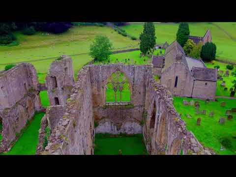
River Swale, North Yorkshire (Richmondshire) Roundow, Richmond Falls, Easby Abbey & Ellerton Lake

Combination of a few drone flights over the River Swale, , North Yorkshire (Richmondshire) starting at Roundow, moving ...

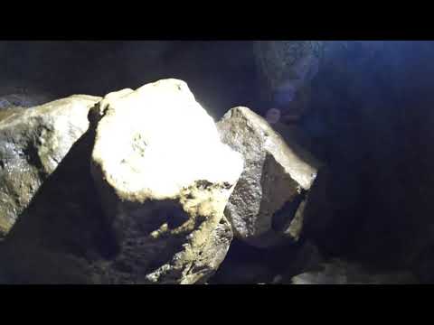
Crackpot Cave - Intestines Series Crawl/Squeeze

The crawl through the 'Intestines' in Crackpot Cave, Swaledale.

Have you been to Aberdene Tarn?

Leave your review of Aberdene Tarn below (or comments, questions and feedback).