Bawbee Loch
Lake, Pool, Pond, Freshwater Marsh in Aberdeenshire
Scotland
Bawbee Loch
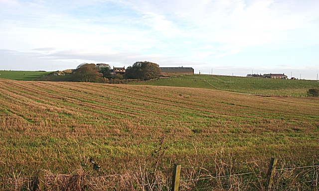
Bawbee Loch is a small freshwater lake located in Aberdeenshire, Scotland. Nestled amidst picturesque scenery, the loch covers an area of around 3 acres and is surrounded by lush vegetation and rolling hills. It is a popular destination for nature enthusiasts and offers a tranquil setting for outdoor activities.
The loch is fed by several small streams and springs, ensuring a constant supply of freshwater. Its depth varies throughout the year, with an average depth of around 6 feet. The water is clear and teeming with various species of fish, making it a popular spot for anglers.
Surrounding the loch is a diverse range of plant life, including reeds, rushes, and water lilies. These not only add to the loch's natural beauty but also provide a habitat for various bird species and other wildlife. Birdwatchers can spot a variety of waterfowl, such as mallards, coots, and tufted ducks, as well as occasional visits from herons and swans.
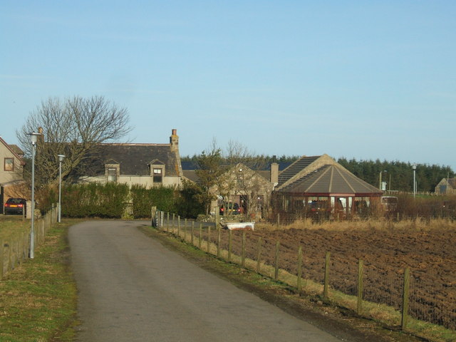
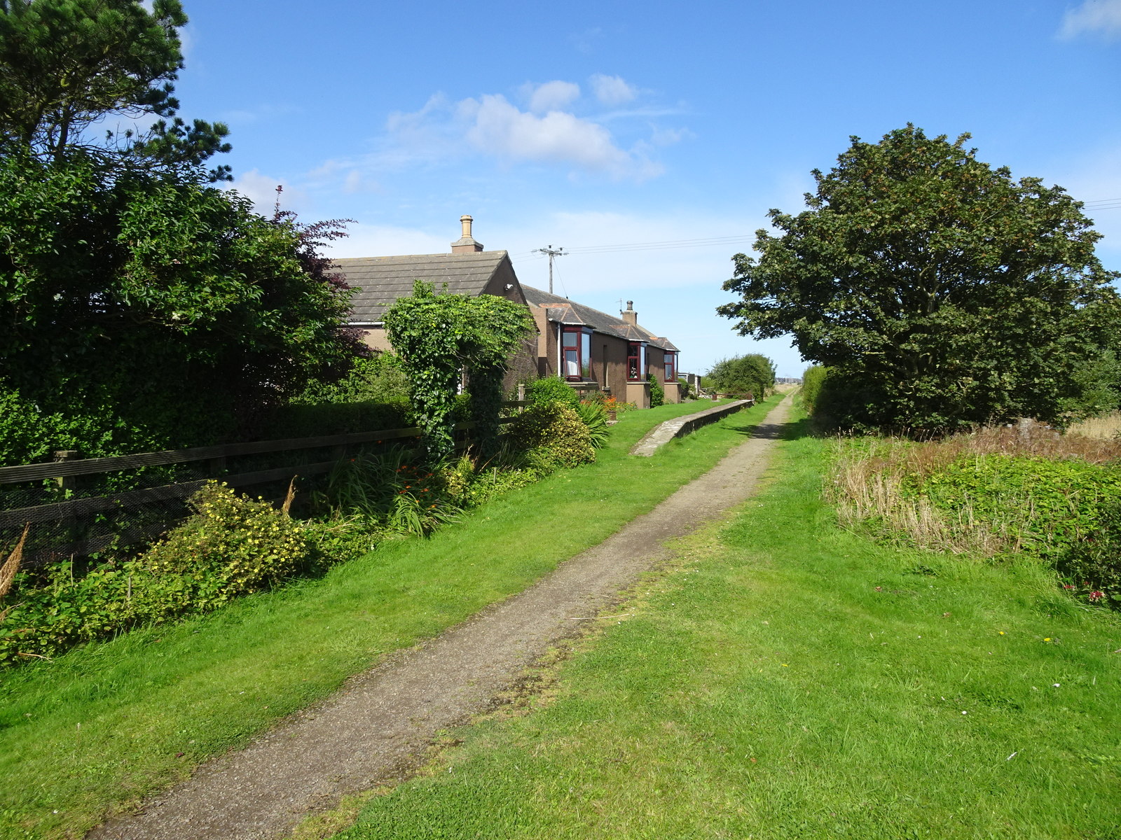
The surrounding area offers scenic walking trails, allowing visitors to explore and enjoy the tranquility of the loch. Additionally, there is a small picnic area with benches, providing a perfect spot for families and friends to relax and enjoy the peaceful surroundings.
Bawbee Loch is a haven for nature lovers and provides a peaceful escape from the hustle and bustle of everyday life. Its natural beauty, diverse wildlife, and recreational opportunities make it a must-visit destination in Aberdeenshire.
If you have any feedback on the listing, please let us know in the comments section below.
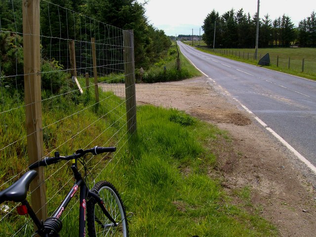
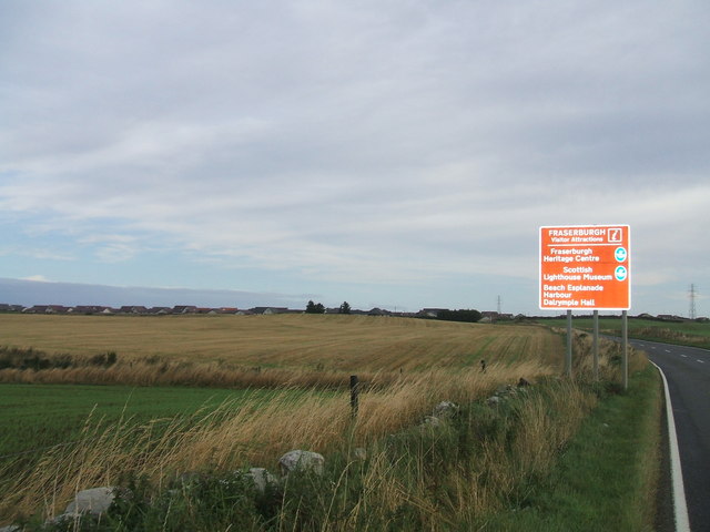
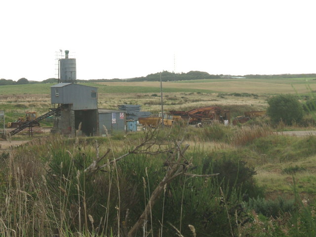
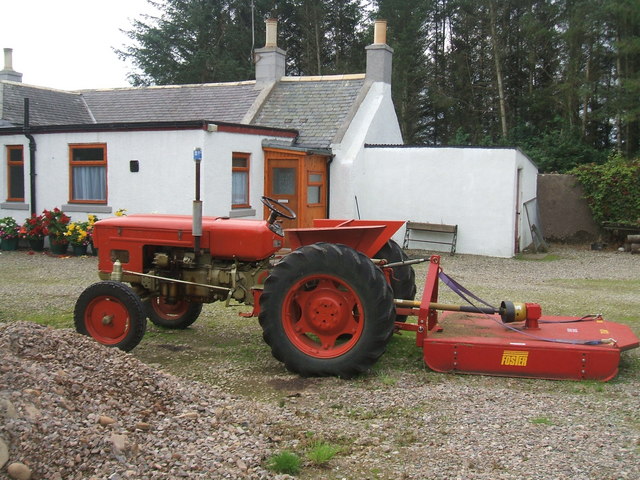
Bawbee Loch Images
Images are sourced within 2km of 57.658802/-2.0343742 or Grid Reference NJ9863. Thanks to Geograph Open Source API. All images are credited.


Bawbee Loch is located at Grid Ref: NJ9863 (Lat: 57.658802, Lng: -2.0343742)
Unitary Authority: Aberdeenshire
Police Authority: North East
What 3 Words
///overdrive.noun.consults. Near Fraserburgh, Aberdeenshire
Nearby Locations
Related Wikis
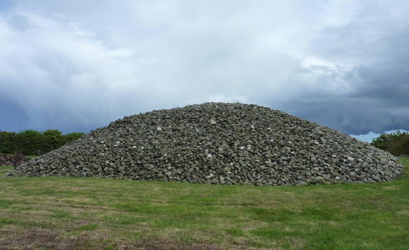
Memsie Cairn
Memsie Cairn is an ancient cairn in Memsie, near Fraserburgh, Aberdeenshire, Scotland. Historic Scotland believe the burial cairn to be from the Bronze...

Memsie
Memsie, Aberdeenshire, is a small community near Fraserburgh, Scotland. On Memsie Moor there is a very large stone cairn, Memsie Cairn, which has been...

House of Memsie
House of Memsie (also known as Mesmie House) is a Category A listed country house and estate in Memsie, Aberdeenshire, Scotland. It dates to around 1760...
Fraserburgh United F.C.
Fraserburgh United Football Club are a Scottish football club from the town of Fraserburgh, Aberdeenshire. Members of the Scottish Junior Football Association...
Philorth Halt railway station
Philorth Halt railway station was a railway station near Philorth House, south of Fraserburgh in Aberdeenshire. == History == The station was opened on...
Banff and Buchan College
Banff and Buchan College was until 1 November 2013 the name of the further education institution in Aberdeenshire, Scotland. In November 2013, Banff &...
Kirkton Bridge Halt railway station
Kirkton Bridge Halt railway station or Kirkton Bridge Platform railway station was a request stop on the Fraserburgh and St Combs Light Railway, Aberdeenshire...
Fraserburgh Hospital
Fraserburgh Hospital is a community hospital in Lochpots Road, Fraserburgh, Scotland. It is managed by NHS Grampian. == History == The facility was established...
Nearby Amenities
Located within 500m of 57.658802,-2.0343742Have you been to Bawbee Loch?
Leave your review of Bawbee Loch below (or comments, questions and feedback).