Hatherton Reservoir
Lake, Pool, Pond, Freshwater Marsh in Staffordshire South Staffordshire
England
Hatherton Reservoir
Hatherton Reservoir, located in Staffordshire, England, is a large man-made freshwater lake that serves multiple purposes for the local community. Covering an area of approximately 100 acres, the reservoir is primarily used for water supply purposes, providing drinking water to the surrounding towns and villages. It is operated and maintained by the local water authority.
The reservoir, which was constructed in the early 19th century, is fed by a combination of natural springs and rainwater runoff. It is surrounded by lush greenery and sits within a picturesque landscape, making it a popular recreational spot for locals and visitors alike. The reservoir offers a range of activities such as fishing, boating, and birdwatching, attracting nature enthusiasts from far and wide.
The water in Hatherton Reservoir is teeming with a variety of freshwater fish species, including perch, pike, and roach, making it a haven for fishing enthusiasts. Boating enthusiasts can enjoy leisurely rides on the calm waters of the reservoir, taking in the beautiful surroundings.
Hatherton Reservoir also serves as a valuable habitat for various bird species, acting as a freshwater marsh. It attracts a diverse range of waterfowl, including ducks, herons, and geese, providing ample opportunities for birdwatchers to observe and study these fascinating creatures.
Overall, Hatherton Reservoir is not only a vital water source for the local community but also a serene and picturesque destination for outdoor enthusiasts seeking tranquility and natural beauty.
If you have any feedback on the listing, please let us know in the comments section below.
Hatherton Reservoir Images
Images are sourced within 2km of 52.670092/-2.0335849 or Grid Reference SJ9708. Thanks to Geograph Open Source API. All images are credited.


Hatherton Reservoir is located at Grid Ref: SJ9708 (Lat: 52.670092, Lng: -2.0335849)
Administrative County: Staffordshire
District: South Staffordshire
Police Authority: Staffordshire
What 3 Words
///trucks.scenes.sleepy. Near Great Wyrley, Staffordshire
Nearby Locations
Related Wikis
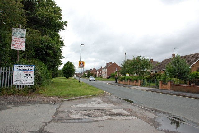
Bridgtown
Bridgtown is a village and civil parish, in the Cannock Chase District of Staffordshire, England. It is situated on the A5 between Cannock and Great Wyrley...

Wyrley and Cheslyn Hay railway station
Wyrley and Cheslyn Hay railway station served the villages of Great Wyrley and Cheslyn Hay in Staffordshire, England, between 1858 and 1965. == History... ==
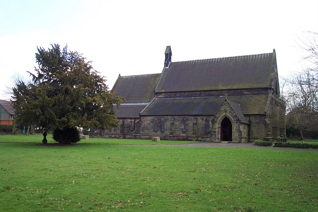
St Mark's Church, Great Wyrley
St Mark's is the parish church of Great Wyrley, South Staffordshire, England. It is known for having had the first South Asian vicar of any Church of England...

Churchbridge Junction
Churchbridge is a road junction situated between Churchbridge and Bridgtown in Staffordshire. It links the A5, A34, and A460 to the adjacent M6 Toll. The...

Cheslyn Hay
Cheslyn Hay is a former mining village and civil parish in the South Staffordshire district of Staffordshire, England. It is 3 miles south of Cannock,...
Great Wyrley Academy
Great Wyrley Academy (formerly Great Wyrley High School) is a co-educational secondary school and sixth form located in Great Wyrley in the English county...
Cheslyn Hay Academy
Cheslyn Hay Academy (formerly Cheslyn Hay Sport and Community High School) is a mixed secondary school and sixth form located in Cheslyn Hay in the English...
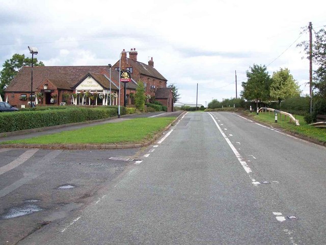
Wedges Mills
Wedges Mills is a small village in the South Staffordshire District in Staffordshire, England, close to the border with Cannock Chase District. The area...
Nearby Amenities
Located within 500m of 52.670092,-2.0335849Have you been to Hatherton Reservoir?
Leave your review of Hatherton Reservoir below (or comments, questions and feedback).