Great Green

Settlement in Cambridgeshire South Cambridgeshire

England

Great Green

Guilden Morden Church
Guilden Morden Church Credit: mym

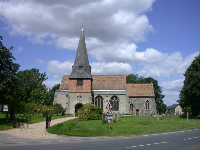
Great Green is a small village located in the county of Cambridgeshire, England. Situated approximately 7 miles south of the city of Cambridge, Great Green is a rural community that offers a peaceful and idyllic setting for its residents.

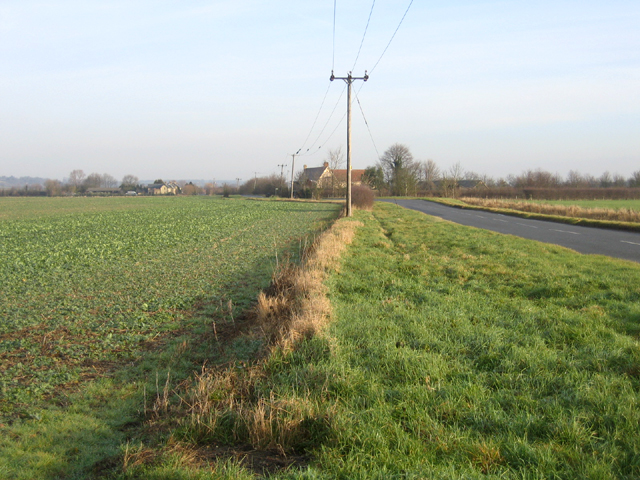
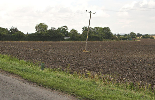
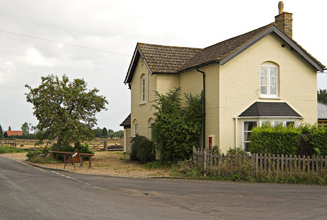
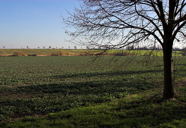
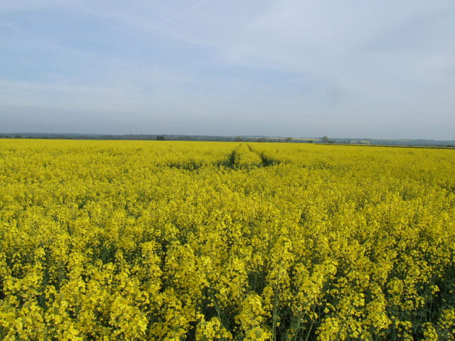
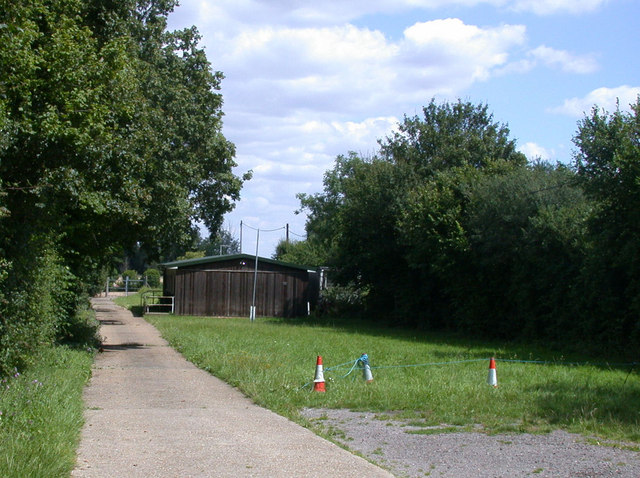
The village is characterized by its charming countryside landscapes, with vast green fields, meadows, and picturesque views. It is surrounded by several other small villages, creating a close-knit and friendly atmosphere within the area.

Great Green is home to a relatively small population, predominantly consisting of families and individuals seeking a quieter lifestyle away from the hustle and bustle of city living. The village is known for its strong sense of community, with residents often organizing local events and activities that promote social interaction and unity.

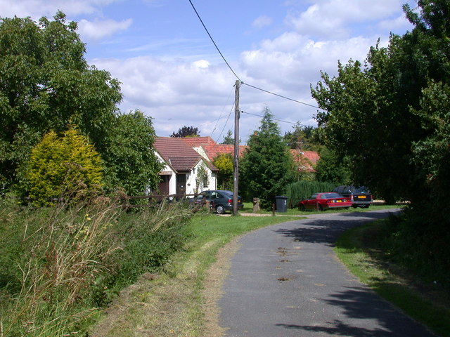
Although primarily residential, Great Green does have a few amenities to cater to its residents. These include a local pub, village hall, and a small convenience store. For more extensive shopping and leisure facilities, residents can easily access the nearby city of Cambridge, which offers a wide range of retail outlets, restaurants, and entertainment options.

The village is well-connected to the surrounding areas by road, with good transport links to Cambridge and nearby towns. It also benefits from the nearby M11 motorway, providing easy access to London and other major cities.

Overall, Great Green offers a tranquil and picturesque living environment, making it an attractive place for those seeking a peaceful countryside lifestyle while still being within easy reach of urban amenities.

If you have any feedback on the listing, please let us know in the comments section below.
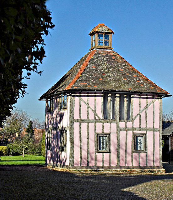
Great Green Images

Images are sourced within 2km of 52.083323/-0.128999 or Grid Reference TL2844. Thanks to Geograph Open Source API. All images are credited.

Guilden Morden Church
Steeple Morden, SS Peter and Paul <span class="nowrap"><a title="http://www.druidic.org/camchurch/churches/steeplemorden.htm" rel="nofollow ugc noopener" href="http://www.druidic.org/camchurch/churches/steeplemorden.htm">Link</a><img style="margin-left:2px;" alt="External link" title="External link - shift click to open in new window" src="https://s1.geograph.org.uk/img/external.png" width="10" height="10"/></span>
Steeple Morden, SS Peter and Paul
Flecks Lane, Guilden Morden, Cambs view NE towards Flecks Lane Farm.
Flecks Lane, Guilden Morden, Cambs
view NE towards Flecks Lane Farm.
Hook's Mill, Guilden Morden, Cambs a tower mill of tarred brick with ogee cap missing, built 1865; on the right is Hook's late 18th cent. water mill and engine house with a tall tapering rectangular chimney stack, last used 1935 and Grade II listed.
Hook's Mill, Guilden Morden, Cambs
a tower mill of tarred brick with ogee cap missing, built 1865; on the right is Hook's late 18th cent. water mill and engine house with a tall tapering rectangular chimney stack, last used 1935 and Grade II listed.
Potton Road, Guilden Morden, Cambs view NW towards the bridge over the River Cam or Rhee.
Potton Road, Guilden Morden, Cambs
view NW towards the bridge over the River Cam or Rhee.
Farmland, Guilden Morden, Cambs view NE across the square towards Low Field Barn.
Farmland, Guilden Morden, Cambs
view NE across the square towards Low Field Barn.
Bogs Gap - Steeple Morden The pumping Station and fields at Bogs Gap
Bogs Gap - Steeple Morden
The pumping Station and fields at Bogs Gap
House with Postbox in wall This house stands at the junction of Flecks Lane and North Brook End.
House with Postbox in wall
This house stands at the junction of Flecks Lane and North Brook End.
Ashwell Road - Steeple Morden Almost all the main roads through the village are called Ashwell Road. This end of the village is known as Cold Harbour so no doubt the locals can tell where they are.
Ashwell Road - Steeple Morden
Almost all the main roads through the village are called Ashwell Road. This end of the village is known as Cold Harbour so no doubt the locals can tell where they are.
Church St and High St  Guilden Morden The junction of Church St and furthest away, High St in the Village of Guilden Morden
Church St and High St Guilden Morden
The junction of Church St and furthest away, High St in the Village of Guilden Morden
Former Dovecot in Guilden Morden Former dovecot located in Church St, Guilden Morden. This is a Grade II listed building "Dwelling, formerly a dovecot. C17, altered in C19 with C20 remodelling and renovations. Timber framed with plaster infill. Plain tiled roof. Two storeys. Lantern apex to pyramidal roof replacing C19 chimney stack and former flight entry. Windows inserted between timber frame, main entrance to rear." <span class="nowrap"><a title="http://www.britishlistedbuildings.co.uk/en-52506-dovecote-circa-13-metres-west-of-numbers-" rel="nofollow ugc noopener" href="http://www.britishlistedbuildings.co.uk/en-52506-dovecote-circa-13-metres-west-of-numbers-">Link</a><img style="margin-left:2px;" alt="External link" title="External link - shift click to open in new window" src="https://s1.geograph.org.uk/img/external.png" width="10" height="10"/></span>
Former Dovecot in Guilden Morden
Former dovecot located in Church St, Guilden Morden. This is a Grade II listed building "Dwelling, formerly a dovecot. C17, altered in C19 with C20 remodelling and renovations. Timber framed with plaster infill. Plain tiled roof. Two storeys. Lantern apex to pyramidal roof replacing C19 chimney stack and former flight entry. Windows inserted between timber frame, main entrance to rear." LinkExternal link
Village Sign The very grand Village Sign outside St Mary's Church at Guilden Morden
Village Sign
The very grand Village Sign outside St Mary's Church at Guilden Morden
Trees and Field Taken from Trap Road Guilden Morden, the line of distant trees marks the road called North Brook End
Trees and Field
Taken from Trap Road Guilden Morden, the line of distant trees marks the road called North Brook End
Rape field from Fleck's Lane
Tree in a field at North Brook End
Houses at Bogs Gap An inauspiciously named "suburb" of Steeple Morden
Houses at Bogs Gap
An inauspiciously named "suburb" of Steeple Morden
Steeple Morden church and churchyard Parish Church of SS. Peter and Paul. Nave arcades late C13, with clerestory of quatrefoil lights blocked by late C14 aisle roofs. Late C14 south porch. The spire collapsed c.1625 ruining the chancel which was rebuilt c.1866-69. Grade II* listed. <span class="nowrap"><a title="http://www.heritagegateway.org.uk/Gateway/Results_Single.aspx?resourceID=5&uid=52611" rel="nofollow ugc noopener" href="http://www.heritagegateway.org.uk/Gateway/Results_Single.aspx?resourceID=5&uid=52611">Link</a><img style="margin-left:2px;" alt="External link" title="External link - shift click to open in new window" src="https://s1.geograph.org.uk/img/external.png" width="10" height="10"/></span>
Steeple Morden church and churchyard
Parish Church of SS. Peter and Paul. Nave arcades late C13, with clerestory of quatrefoil lights blocked by late C14 aisle roofs. Late C14 south porch. The spire collapsed c.1625 ruining the chancel which was rebuilt c.1866-69. Grade II* listed. LinkExternal link
Scout Hut, The Pightle, Bogs Gap Lane The hut is the HQ of the 6th Royston Air Scouts.
Scout Hut, The Pightle, Bogs Gap Lane
The hut is the HQ of the 6th Royston Air Scouts.
Show me another place!

Great Green is located at Grid Ref: TL2844 (Lat: 52.083323, Lng: -0.128999)

Administrative County: Cambridgeshire

District: South Cambridgeshire

Police Authority: Cambridgeshire

What 3 Words

///tent.shoulders.touched. Near Bassingbourn, Cambridgeshire

Related Wikis

Guilden Morden

Guilden Morden is a village and parish located in Cambridgeshire about 16 miles (26 km) south west of Cambridge and 9 miles (14 km) west of Royston in...

Steeple Morden

Steeple Morden is a village and civil parish in Cambridgeshire, England, about 15 miles (24 km) south west of Cambridge and 5 miles (8 km) west of Royston...

Abington Pigotts

Abington Pigotts is a small village in Cambridgeshire, England about 4 miles (6 km) northwest of Royston, Hertfordshire. == History == The parish of Abington...

Tadlow

Tadlow is a small village and civil parish in South Cambridgeshire, England on the River Cam (or Rhee). It is 20 kilometres (12 mi) south-west of Cambridge...

Nearby Amenities

Located within 500m of 52.083323,-0.128999
Guilden Morden
Created By: Potlatch 0.9a
Is In: Cambridgeshire, England, UK
Place: village
Wikidata: Q1987694
Lat/Long: 52.0812388/-0.135321
Entrance: main
Lat/Long: 52.080789/-0.132885
Entrance: main
Lat/Long: 52.0807029/-0.1337229
Entrance: main
Lat/Long: 52.080672/-0.1328037
Bus Stop
Fox Corner
Bus Stop: shelter
Naptan AtcoCode: 0500SGUIL001
Naptan Bearing: SE
Naptan CommonName: Fox Corner
Naptan Indicator: near
Naptan Landmark: Fox Corner
Naptan NaptanCode: cmbdwmwm
Naptan ShortCommonName: Fox Corner
Naptan Street: Fox Hill Road
Naptan Verified: no
Source: naptan_import
Lat/Long: 52.0835666/-0.1352102
Bus Stop
Church Street
Naptan AtcoCode: 0500SGUIL004
Naptan Bearing: S
Naptan CommonName: Church Street
Naptan Indicator: opp
Naptan Landmark: Church Street
Naptan NaptanCode: cmbdwpad
Naptan ShortCommonName: Church Street
Naptan Street: Fox Hill Road
Naptan Verified: no
Source: naptan_import
Lat/Long: 52.0809338/-0.1329933
Bus Stop
Fox Corner
Naptan AtcoCode: 0500SGUIL005
Naptan Bearing: NW
Naptan BusStopType: CUS
Naptan CommonName: Fox Corner
Naptan Indicator: opp
Naptan Landmark: Fox Corner
Naptan NaptanCode: cmbgdtwj
Naptan Street: Fox Hill Road
Naptan Verified: no
Source: naptan_import
Lat/Long: 52.0835299/-0.1353361
Bus Stop
Church Street
Naptan AtcoCode: 0500SGUIL006
Naptan Bearing: N
Naptan BusStopType: CUS
Naptan CommonName: Church Street
Naptan Indicator: near
Naptan Landmark: Church Street
Naptan NaptanCode: cmbgdtwm
Naptan ShortCommonName: Church Street
Naptan Street: Fox Hill Road
Naptan Verified: no
Source: naptan_import
Lat/Long: 52.080913/-0.1330785
Power: pole
Lat/Long: 52.084258/-0.1228396
Power: pole
Lat/Long: 52.0815136/-0.1276192
Power: pole
Lat/Long: 52.0826229/-0.1251705
Power: pole
Lat/Long: 52.0805641/-0.1289389
Power: pole
Lat/Long: 52.082173/-0.1262218
Power: pole
Lat/Long: 52.0831833/-0.1240038
Post Box
Post Box Type: lamp
Ref: SG8 501
Lat/Long: 52.0827603/-0.1339008
The data included in this document is from www.openstreetmap.org. The data is made available under ODbL.

Have you been to Great Green?

Leave your review of Great Green below (or comments, questions and feedback).