Lamaload Reservoir

Lake, Pool, Pond, Freshwater Marsh in Cheshire

England

Lamaload Reservoir

Saltersford Hall Farm On Hooleyhey Lane.
Saltersford Hall Farm Credit: Trevor Harris

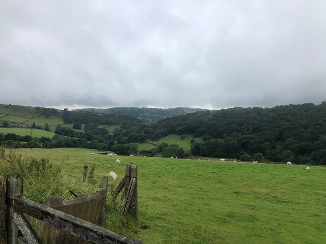
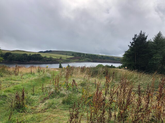
Lamaload Reservoir, located in Cheshire, England, is a picturesque freshwater lake encompassing an area of approximately 24 acres. Nestled within the scenic Peak District National Park, the reservoir is an idyllic destination for nature enthusiasts and visitors seeking tranquility.

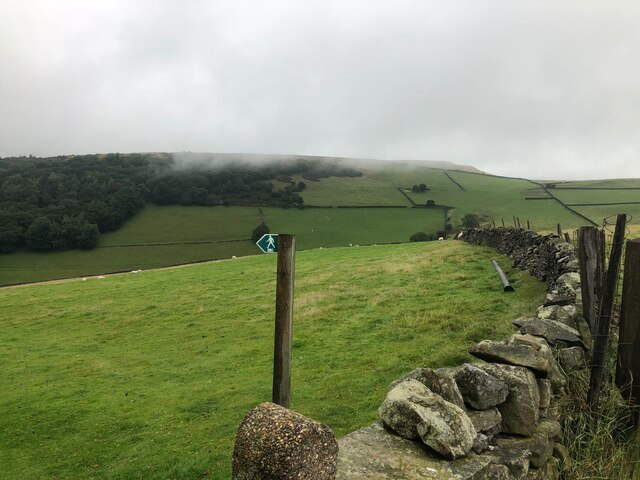
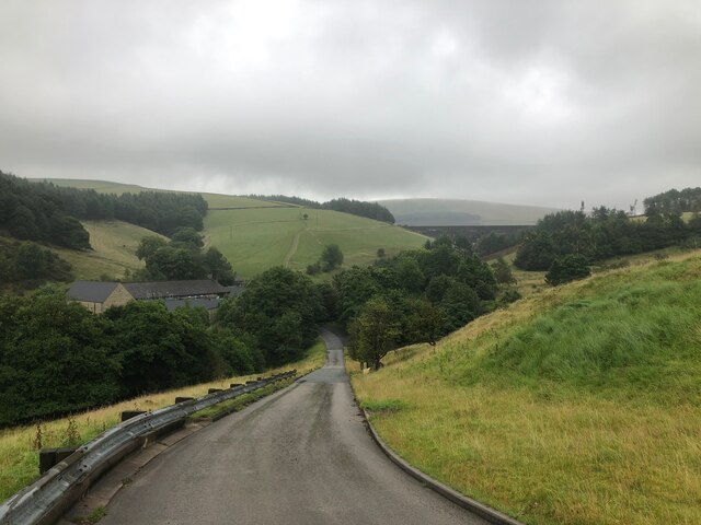
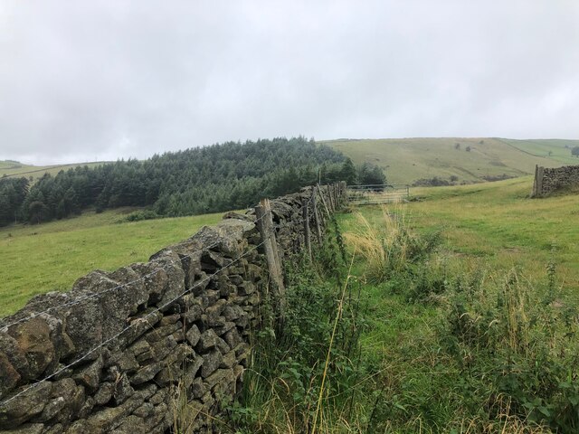
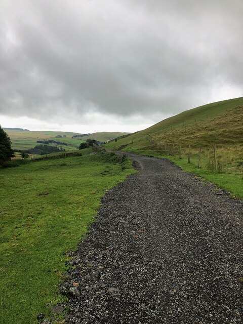
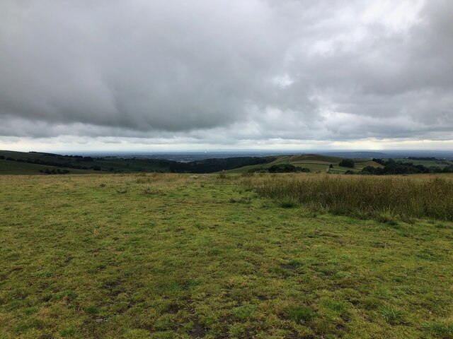
Formed in the 19th century, Lamaload Reservoir was initially constructed to provide water supply for the growing population of nearby towns and villages. Today, it serves as a popular recreational spot, attracting locals and tourists alike. The lake is surrounded by rolling hills, verdant woodlands, and captivating moorlands, offering a stunning backdrop for leisurely walks, picnics, and photography.

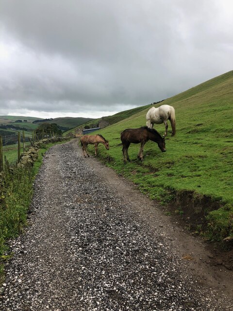
The crystal-clear waters of Lamaload Reservoir are home to various species of freshwater fish, making it a favored spot for anglers. Fishing permits are available for those eager to try their luck and reel in a catch. Additionally, the reservoir provides a serene environment for birdwatching enthusiasts, with a diverse range of avian species frequently visiting the area.

The surrounding area of the reservoir is teeming with wildlife, including rabbits, deer, and foxes. It also boasts an array of plant life, with the surrounding woodlands adorned with beautiful bluebells and wildflowers during the spring months.

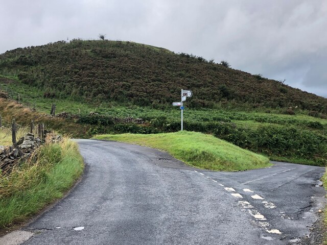
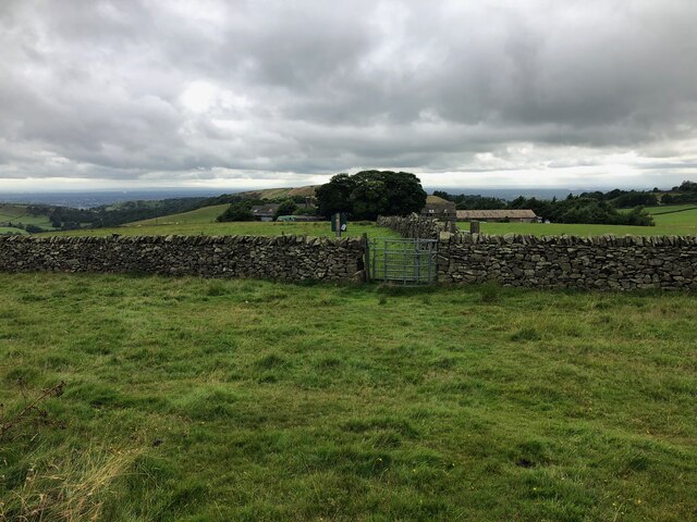
Visitors to Lamaload Reservoir can enjoy a leisurely stroll around its perimeter, taking in the breathtaking views and immersing themselves in the tranquility of the surroundings. The reservoir is easily accessible, with designated parking areas and facilities for visitors to enjoy a day in nature.

If you have any feedback on the listing, please let us know in the comments section below.

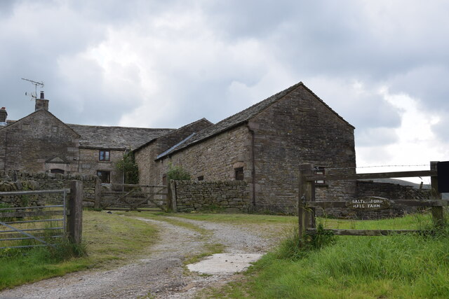
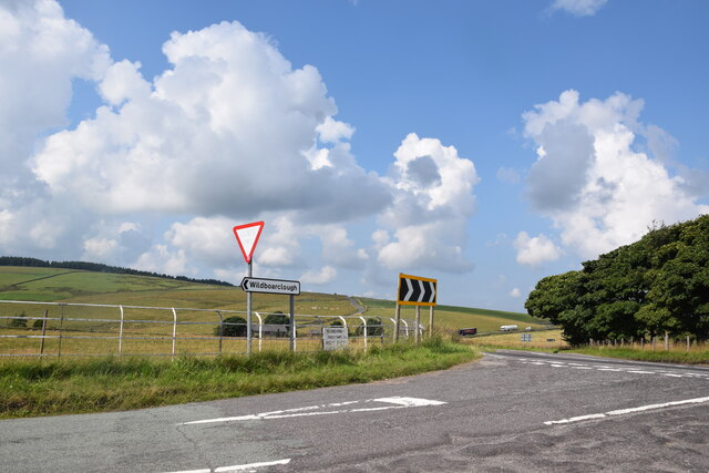
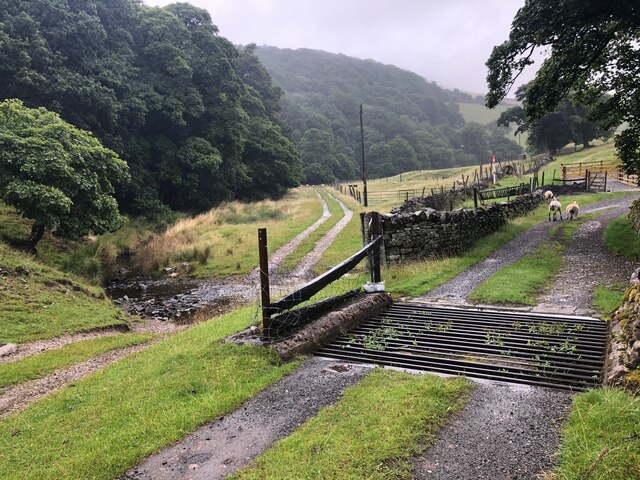
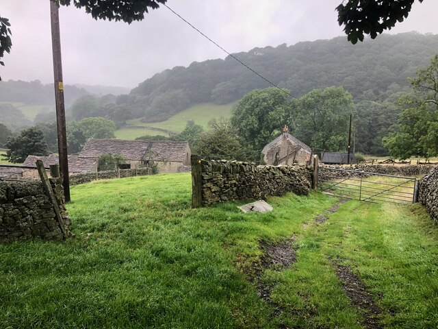
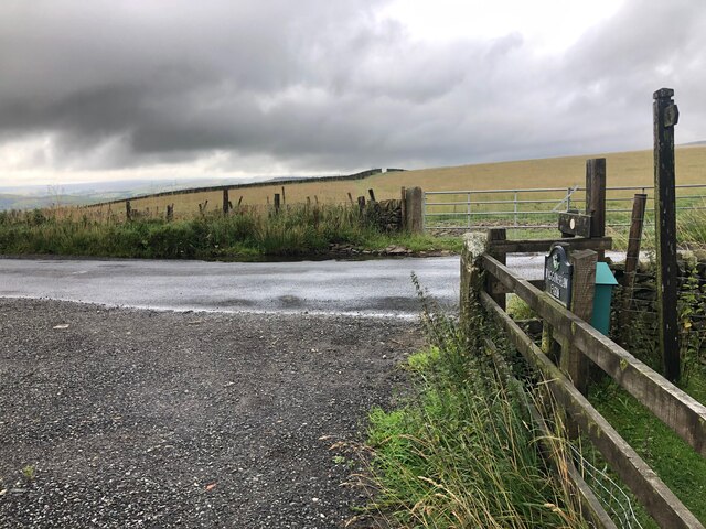
Lamaload Reservoir Images

Images are sourced within 2km of 53.272734/-2.0429511 or Grid Reference SJ9775. Thanks to Geograph Open Source API. All images are credited.

Saltersford Hall Farm On Hooleyhey Lane.
Saltersford Hall Farm
On Hooleyhey Lane.
Junction on Buxton New Road Taken from the northern end of Ankers Lane which heads for Wildboarclough.
Junction on Buxton New Road
Taken from the northern end of Ankers Lane which heads for Wildboarclough.
Track South of Thornsett Farm
Cattle Grid on track just before the track crosses River Dean The area of woodland visible in the background is "The Oaks"
Cattle Grid on track just before the track crosses River Dean
The area of woodland visible in the background is "The Oaks"
Danebent Farm
Danebent Farm
Entrance to Snipe House, off Lamaload Road
View of Dean Vallet from Snipe House
View across the Dean Valley towards Waggonshaw Brow
Lamaload Road and Water Treatment Works Lamaload Dam visible in background
Lamaload Road and Water Treatment Works
Lamaload Dam visible in background
Footpath and drystone wall North of Lamaload Reservoir
View of Lamaload Reservoir from Lower Hooleyhey
Junction of Hooleyhey Lane and Ewrin Lane
Memorial Stone The stone marks the site where the body of John Turner was found in a snowdrift in 1755, This stone is described in the novel "Thursbitch" by Alan Garner <span class="nowrap"><a title="https://en.wikipedia.org/wiki/Thursbitch" rel="nofollow ugc noopener" href="https://en.wikipedia.org/wiki/Thursbitch">Link</a><img style="margin-left:2px;" alt="External link" title="External link - shift click to open in new window" src="https://s1.geograph.org.uk/img/external.png" width="10" height="10"/></span>
Memorial Stone
The stone marks the site where the body of John Turner was found in a snowdrift in 1755, This stone is described in the novel "Thursbitch" by Alan Garner LinkExternal link
Driveway leading to Waggonshaw Farm This is also a public footpath. Waggonshaw Brow is the high ground on the right of the picture
Driveway leading to Waggonshaw Farm
This is also a public footpath. Waggonshaw Brow is the high ground on the right of the picture
Junction of driveway leading from Waggonshaw Farm with Ewrin Lane
Horses on track leading to Waggonshaw Farm
Footpath descending from Waggonshaw Brow The marker post for the path is in the centre of this photograph. The Cheshire Plain is visible in the far distance where the dish of the Radio Telescope at Jodrell Bank can be picked out.
Footpath descending from Waggonshaw Brow
The marker post for the path is in the centre of this photograph. The Cheshire Plain is visible in the far distance where the dish of the Radio Telescope at Jodrell Bank can be picked out.
Footpath approaching Common Barn Farm Common Barn is working farm that also offers B&B accommodation
Footpath approaching Common Barn Farm
Common Barn is working farm that also offers B&B accommodation
Show me another place!

Lamaload Reservoir is located at Grid Ref: SJ9775 (Lat: 53.272734, Lng: -2.0429511)

Unitary Authority: Cheshire East

Police Authority: Cheshire

What 3 Words

///volume.reefs.tile. Near Pott Shrigley, Cheshire

Nearby Locations

Lamaload Reservoir

Related Wikis

Lamaload Reservoir

Lamaload Reservoir is a reservoir near Rainow, Cheshire, England (SJ972750). It lies in the South West Peak within the Peak District National Park, to...

Jenkin Chapel

Jenkin Chapel, stands in an isolated position on the western slopes of the Pennines, 4.3 miles (7 km) northeast of Macclesfield, Cheshire, England. It...

Holy Trinity Church, Rainow

Holy Trinity Church is in the village of Rainow, Cheshire, England. It is an active Anglican parish church in the deanery of Macclesfield, the archdeaconry...

Cats Tor

Cats Tor is a Peak District hill on the border between Cheshire and Derbyshire, between the towns of Macclesfield and Buxton. The summit is 518 metres...

Nearby Amenities

Located within 500m of 53.272734,-2.0429511
Barrier: cattle_grid
Lat/Long: 53.2747081/-2.037713
Barrier: stile
Lat/Long: 53.270911/-2.0456592
Information: guidepost
Operator: Peak & Northern Footpaths Society
Ref: 434
Start Date: 2012
Tourism: information
Lat/Long: 53.2690965/-2.0447104
Barrier: stile
Lat/Long: 53.2697909/-2.0449111
Information: guidepost
Operator: Peak & Northern Footpaths Society
Ref: 189
Tourism: information
Lat/Long: 53.2724826/-2.0369948
Bench
Lat/Long: 53.2750609/-2.0390627
The data included in this document is from www.openstreetmap.org. The data is made available under ODbL.

Have you been to Lamaload Reservoir?

Leave your review of Lamaload Reservoir below (or comments, questions and feedback).