Alcomden Water

Lake, Pool, Pond, Freshwater Marsh in Yorkshire

England

Alcomden Water

Pennine Way Packhorse route above Graining Water.
Pennine Way Credit: Stephen Shaw

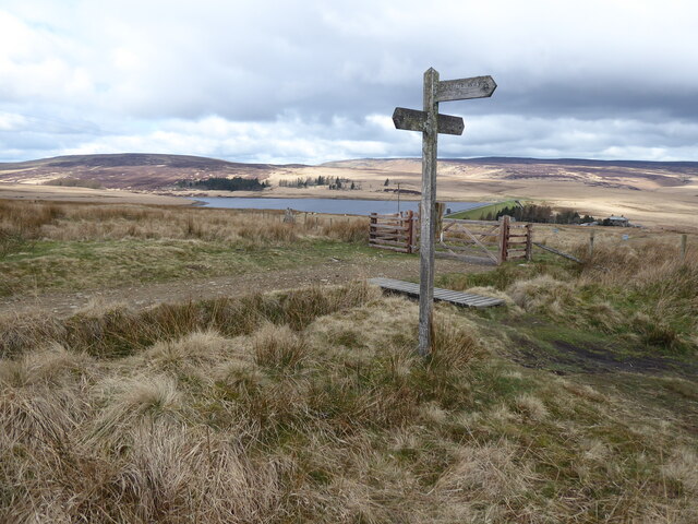
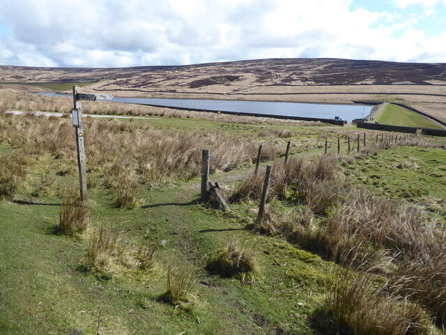
Alcomden Water is a picturesque freshwater marsh located in the scenic county of Yorkshire, England. Situated in the heart of the Yorkshire Dales, this natural wonder offers a tranquil retreat for both locals and visitors alike. Spanning across a sprawling area, Alcomden Water is a combination of a lake, pool, pond, and freshwater marsh, providing a diverse ecosystem for a wide range of flora and fauna.

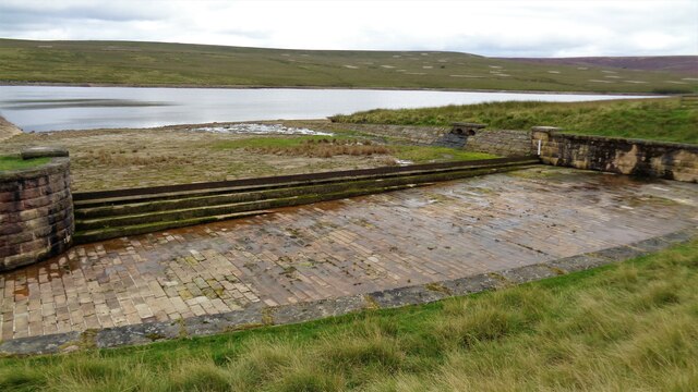
The main feature of Alcomden Water is its expansive lake, which is fed by several smaller streams and springs that meander through the surrounding moorland. The crystal-clear waters of the lake are home to various species of fish, including trout and perch, making it a popular spot for anglers seeking a peaceful day of fishing.

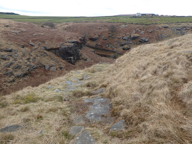
In addition to the lake, there are smaller pools and ponds scattered throughout the marshland, providing a habitat for amphibians such as frogs and newts. These shallow bodies of water also attract a variety of bird species, including ducks, herons, and kingfishers, making it a paradise for birdwatchers.

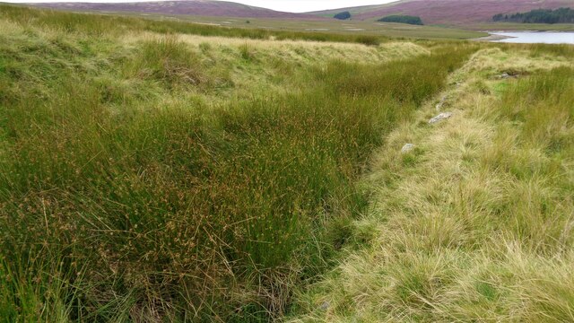
The surrounding freshwater marsh is a haven for an array of plant life, with lush reeds, grasses, and wildflowers covering the landscape. These marshy areas are teeming with life, hosting a multitude of insects, butterflies, and dragonflies, creating a vibrant and buzzing atmosphere.

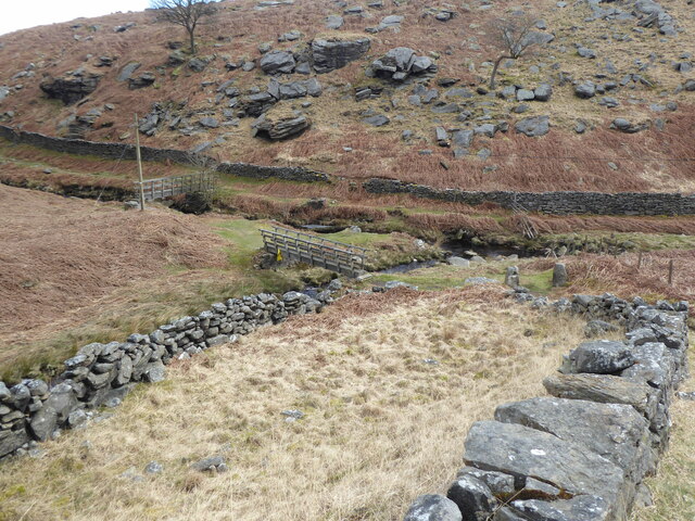
Alcomden Water is not just a natural wonder; it also serves as a recreational area for outdoor enthusiasts. The idyllic surroundings offer opportunities for hiking, picnicking, and nature walks, allowing visitors to immerse themselves in the beauty of the Yorkshire countryside.

Overall, Alcomden Water is a captivating natural oasis that combines the elements of a lake, pool, pond, and freshwater marsh. Its diverse ecosystem, stunning scenery, and recreational activities make it a must-visit destination for nature lovers and those seeking a peaceful escape.

If you have any feedback on the listing, please let us know in the comments section below.

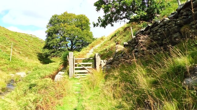
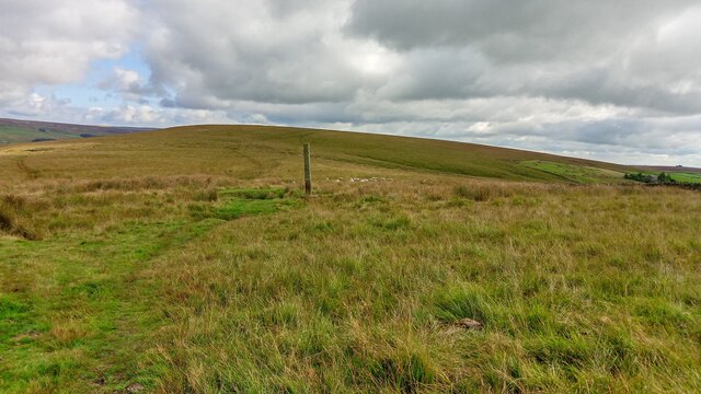
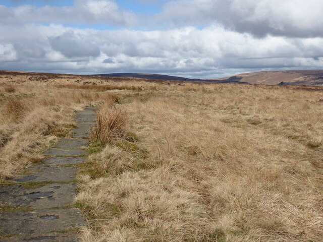
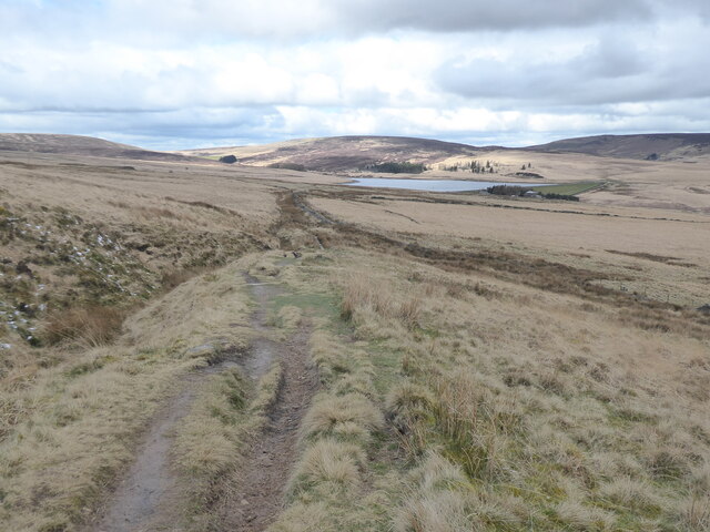
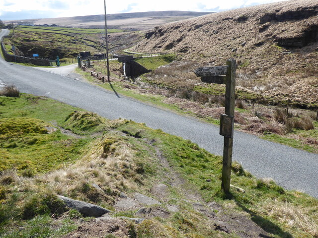
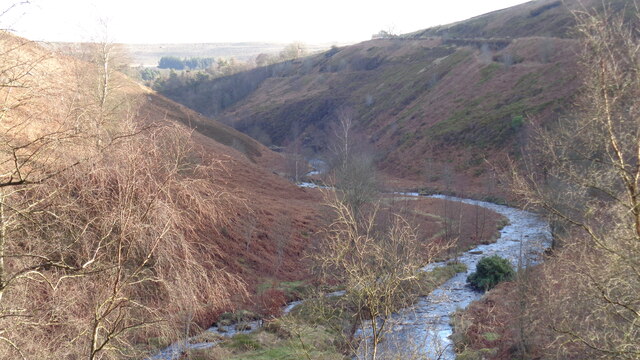
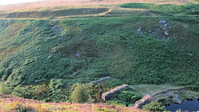
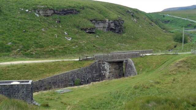
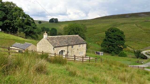
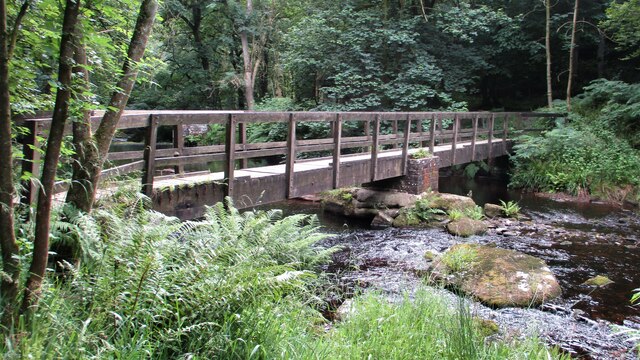
Alcomden Water Images

Images are sourced within 2km of 53.781214/-2.066296 or Grid Reference SD9531. Thanks to Geograph Open Source API. All images are credited.

Pennine Way Packhorse route above Graining Water.
Pennine Way
Packhorse route above Graining Water.
Reaps Cross The cross has been vandalized in the past but still has a presence on Reaps Edge high on  Heptonstall Moor.
Reaps Cross
The cross has been vandalized in the past but still has a presence on Reaps Edge high on Heptonstall Moor.
The Pennine Way near Clough Head Hill
The Pennine Way near King Common
The Pennine Way joins the Pennine Bridleway near Reaps Level
The Pennine Way near Gorple Cottages
The Pennine Way crossing Graining Water
The Pennine Way near The Ridge
The Pennine Way near Clough Foot
The Pennine Way near Walshaw Dean Lower Reservoir
The Pennine Way near Walshaw Dean Middle Reservoir
Confluence of Graining and Alcomden Waters At Blake Dean
Confluence of Graining and Alcomden Waters
At Blake Dean
Black Dean Overlooking the site of a railway trestle bridge built in conjunction with the construction of the Walshaw Dean Reservoirs. The masonry of the piers remains and the evident line of the trackbed earthworks across the valley shows the height of the trestle bridge
Black Dean
Overlooking the site of a railway trestle bridge built in conjunction with the construction of the Walshaw Dean Reservoirs. The masonry of the piers remains and the evident line of the trackbed earthworks across the valley shows the height of the trestle bridge
Reservoir Access Bridge Across Graining Water to give access to Gorple Reservoirs. It is also used by the Pennine Bridleway
Reservoir Access Bridge
Across Graining Water to give access to Gorple Reservoirs. It is also used by the Pennine Bridleway
Holme Ends Farmhouse A listed building recently renovated as residential
Holme Ends Farmhouse
A listed building recently renovated as residential
Gorpley Lower Reservoir Spillway
Old Tramway Route Used in conjunction with the building of the Gorpley Reservoirs. The lower reservoir is in the distance
Old Tramway Route
Used in conjunction with the building of the Gorpley Reservoirs. The lower reservoir is in the distance
Hebden Water Footbridge Just south of the confluence with Rowshaw Clough
Hebden Water Footbridge
Just south of the confluence with Rowshaw Clough
Show me another place!

Alcomden Water is located at Grid Ref: SD9531 (Lat: 53.781214, Lng: -2.066296)

Division: West Riding

Unitary Authority: Calderdale

Police Authority: West Yorkshire

What 3 Words

///bordering.inflates.croaking. Near Hebden Bridge, West Yorkshire

Related Wikis

Blake Dean Railway

The Blake Dean Railway was an approximately 5.5 miles (9 km) long 3 ft (914 mm) gauge narrow gauge railway on the edge of Hardcastle Crags Valley in West...

Walshaw Dean Reservoirs

Walshaw Dean Reservoirs are three reservoirs situated above Hebden Bridge, West Yorkshire, England. They are between Hebden Bridge and Top Withins, a ruined...

Hardcastle Crags

Hardcastle Crags is a wooded Pennine valley in West Yorkshire, England, owned by the National Trust. Historically part of the West Riding of Yorkshire...

Colden, West Yorkshire

Colden is a hamlet in the civil parish of Heptonstall in Calderdale, West Yorkshire, England. Historically part of the West Riding of Yorkshire, the hamlet...

Nearby Amenities

Located within 500m of 53.781214,-2.066296
Access: private
Created By: Potlatch 0.8b
Operator: Scouts
Tourism: hostel
Lat/Long: 53.7789394/-2.0652152
Blake Dean
Place: hamlet
Lat/Long: 53.7786018/-2.0670787
Bus Stop
Widdop Road
Bus: yes
Local Ref: 45025423
Naptan AtcoCode: 450025423
Naptan Bearing: NE
Naptan BusStopType: CUS
Naptan CommonName: Widdop Road
Naptan Crossing: Blake Dean
Naptan Indicator: Stop 45025423
Naptan Landmark: Blakedean Scout Hostel
Naptan PlusbusZoneRef: LEEDS
Naptan ShortCommonName: Widdop Road
Naptan Street: Widdop Road
Naptan Verified: no
Public Transport: platform
Source: naptan_import
Lat/Long: 53.7793711/-2.0652133
Ele: 280.0000000
Lat/Long: 53.7818204/-2.0607284
Passing Place
Lat/Long: 53.7819567/-2.0625413
Ele: 276
Lat/Long: 53.7825657/-2.0648605
Ele: 252
Lat/Long: 53.7854677/-2.0687623
Barrier: stile
Material: wood
Source: survey;gps
Stile: stepover
Lat/Long: 53.7785567/-2.067311
Barrier: stile
Lat/Long: 53.7838555/-2.0685162
Barrier: stile
Lat/Long: 53.7782836/-2.0641075
Barrier: stile
Lat/Long: 53.7796041/-2.0691622
Natural: rock
Lat/Long: 53.7789962/-2.0665359
Natural: rock
Lat/Long: 53.7790045/-2.066674
Natural: rock
Lat/Long: 53.7789125/-2.0671765
Natural: rock
Lat/Long: 53.7788414/-2.0669642
Natural: rock
Lat/Long: 53.7787494/-2.0680047
Natural: rock
Lat/Long: 53.778764/-2.0683091
Barrier: stile
Material: stone
Source: survey;gps
Stile: squeezer
Lat/Long: 53.7793749/-2.0652037
The data included in this document is from www.openstreetmap.org. The data is made available under ODbL.

Have you been to Alcomden Water?

Leave your review of Alcomden Water below (or comments, questions and feedback).