Upper Strinesdale Reservoir

Lake, Pool, Pond, Freshwater Marsh in Yorkshire

England

Upper Strinesdale Reservoir

A672 Ripponden Road at Sholver Lane
A672 Ripponden Road at Sholver Lane Credit: Colin Pyle

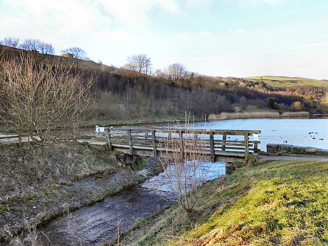
Upper Strinesdale Reservoir is a picturesque freshwater lake located in Yorkshire, England. Nestled within the scenic hills and lush greenery of the region, it covers an expansive area of approximately 50 acres. The reservoir was created in the early 19th century to serve as a reliable water source for the surrounding areas.

The tranquil beauty of Upper Strinesdale Reservoir is enhanced by its crystal-clear waters, which reflect the surrounding landscape, creating a captivating sight for visitors. The lake is fed by several small streams and springs, ensuring a constant flow of fresh water. This makes it an ideal habitat for a diverse range of aquatic flora and fauna.

The reservoir is surrounded by dense vegetation, including reeds and grasses, which provide a natural barrier and add to the overall aesthetic appeal of the area. The abundance of plant life also attracts a variety of bird species, making it a popular spot for birdwatching enthusiasts.

The reservoir offers recreational activities for visitors, such as fishing and boating. Fishing enthusiasts can try their luck at catching species like perch, pike, and roach, while boating enthusiasts can enjoy a peaceful ride across the calm waters.

Overall, Upper Strinesdale Reservoir is a charming freshwater lake that offers a serene escape from the hustle and bustle of everyday life. Its natural beauty, diverse wildlife, and range of recreational activities make it a popular destination for locals and tourists alike.

If you have any feedback on the listing, please let us know in the comments section below.

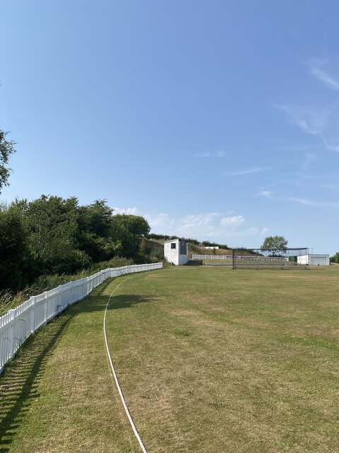
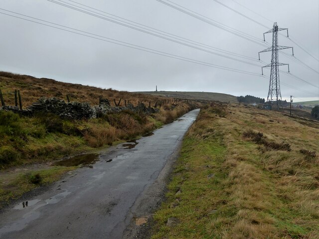
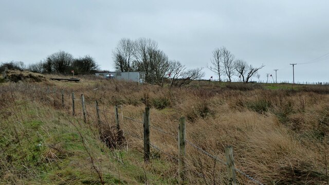
Upper Strinesdale Reservoir Images

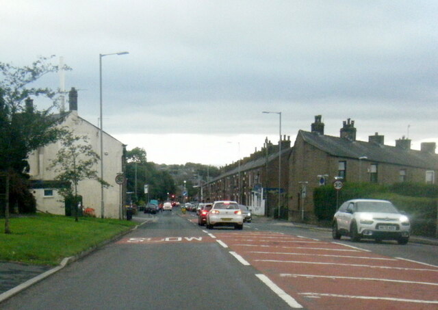
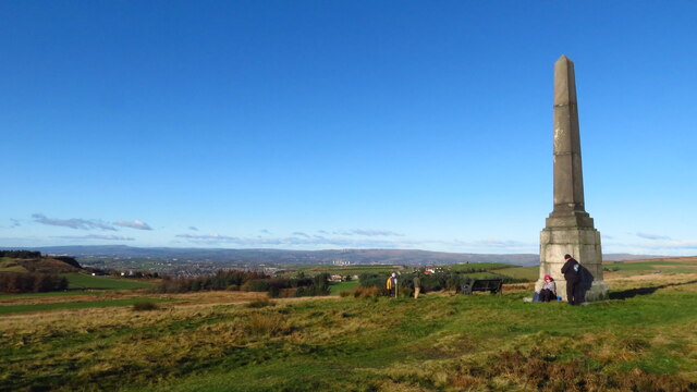
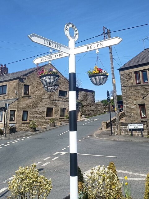
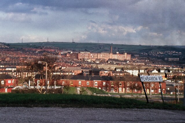
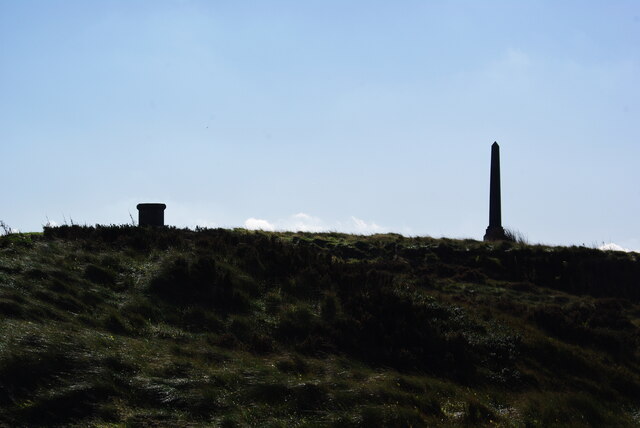
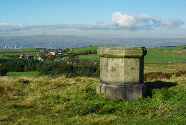
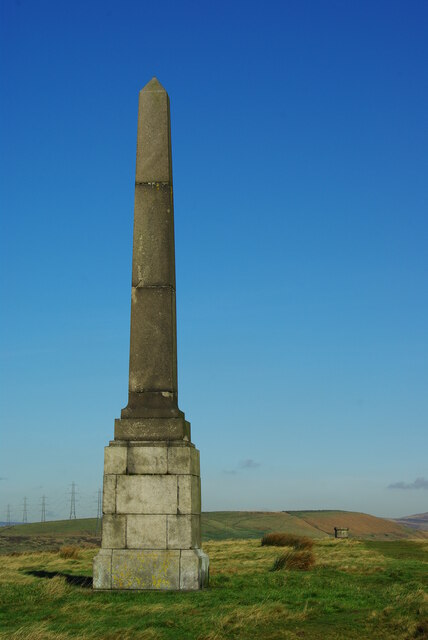
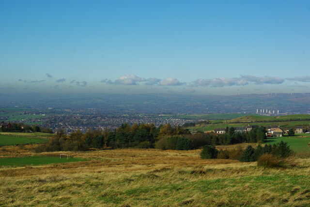
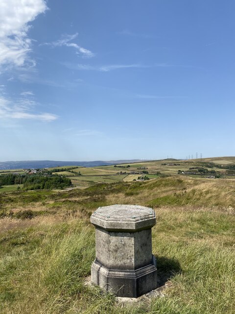
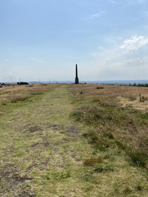
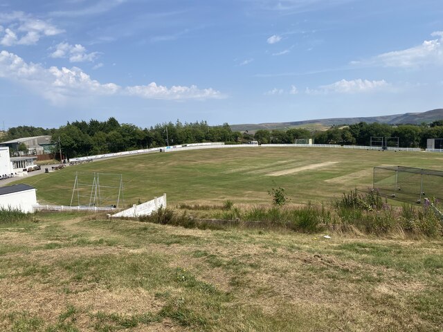
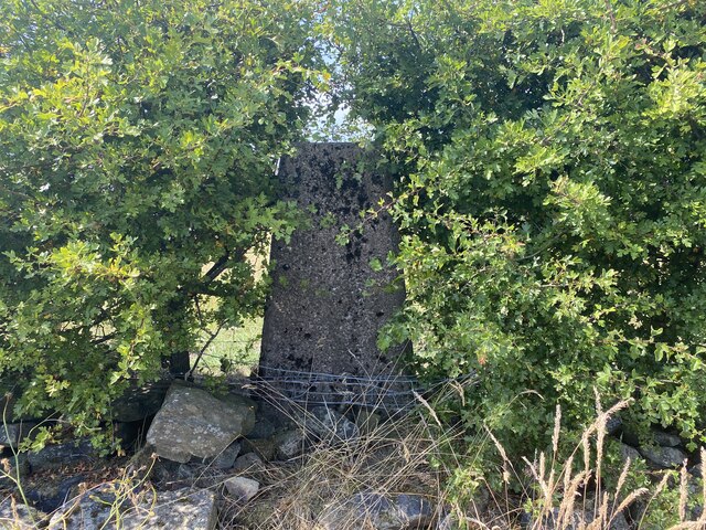
Images are sourced within 2km of 53.558199/-2.0678476 or Grid Reference SD9506. Thanks to Geograph Open Source API. All images are credited.

A672 Ripponden Road at Sholver Lane
A672 Ripponden Road at Collett Street
Obelisk at Bishop Park, Grains Bar The obelisk was erected in 1927 by Ellen Ludlaw in memory of William and Anne Bishop when fifty acres of their land was given to the people of Oldham to enjoy as public open space.
Obelisk at Bishop Park, Grains Bar
The obelisk was erected in 1927 by Ellen Ludlaw in memory of William and Anne Bishop when fifty acres of their land was given to the people of Oldham to enjoy as public open space.
Direction Sign – Signpost at Scouthead in Saddleworth parish Located in Scouthead, on the southeast side of the crossroads of Back Lane, Thurston Clough Road, Thorpe Lane and Doctor Lane in Saddleworth parish. 3 arms and annulus finial. A metal replacement for <a title="https://www.geograph.org.uk/photo/5918932" href="https://www.geograph.org.uk/photo/5918932">Link</a> and <a title="https://www.geograph.org.uk/photo/2007544" href="https://www.geograph.org.uk/photo/2007544">Link</a>.

Milestone Society National ID: YW_SD9706R
Direction Sign – Signpost at Scouthead in Saddleworth parish
Located in Scouthead, on the southeast side of the crossroads of Back Lane, Thurston Clough Road, Thorpe Lane and Doctor Lane in Saddleworth parish. 3 arms and annulus finial. A metal replacement for Link and Link. Milestone Society National ID: YW_SD9706R
Derker Mills, Oldham
Wotherhead Hill Obelisk, Grains Bar The Obelisk and what appears to be a damaged panorama table in Bishop Park
Wotherhead Hill Obelisk, Grains Bar
The Obelisk and what appears to be a damaged panorama table in Bishop Park
Panorama Table? What appears to be a panorama table with just the stone plinth remaining in Bishop Park. Grains Bar is beyond
Panorama Table?
What appears to be a panorama table with just the stone plinth remaining in Bishop Park. Grains Bar is beyond
Wotherhead Hill Obelisk At the summit of Bishop Park, Grains Bar
Wotherhead Hill Obelisk
At the summit of Bishop Park, Grains Bar
Bishop Park Rather rough moorland for a park but it does contain a football pitch in this view from the Obelisk
Bishop Park
Rather rough moorland for a park but it does contain a football pitch in this view from the Obelisk
Bishop Park Trig Point Flush Bracket S2769
Toposcope - with no top
Cricket Pitch
Cricket Pitch
Slack Hall Trig Point Flush Bracket S2785
Cricket Pitch
Cricket Pitch
Hill Top Lane With the obelisk in Bishop Park on the skyline
Hill Top Lane
With the obelisk in Bishop Park on the skyline
Entrance to Highmoor Landfill Site A purpose built road for waste lorries has been built to the main A62 road at Scouthead to avoid the country lane routes to this former quarry
Entrance to Highmoor Landfill Site
A purpose built road for waste lorries has been built to the main A62 road at Scouthead to avoid the country lane routes to this former quarry
Warning flags flying Around Highmoor Clay pigeon Club viewed from Whitegates Lane
Warning flags flying
Around Highmoor Clay pigeon Club viewed from Whitegates Lane
Show me another place!

Upper Strinesdale Reservoir is located at Grid Ref: SD9506 (Lat: 53.558199, Lng: -2.0678476)

Division: West Riding

Unitary Authority: Oldham

Police Authority: Greater Manchester

What 3 Words

///worm.wake.member. Near Shaw, Manchester

Related Wikis

Strinesdale Reservoir

Strinesdale is a reservoir situated on the A62 between Oldham and Delph in Greater Manchester, England. The town of Rochdale is to the north and the town...

Moorside, Greater Manchester

Moorside is a suburb of Oldham in Greater Manchester, England. It is located in the north east of the township in a semi-rural locality bordering Saddleworth...
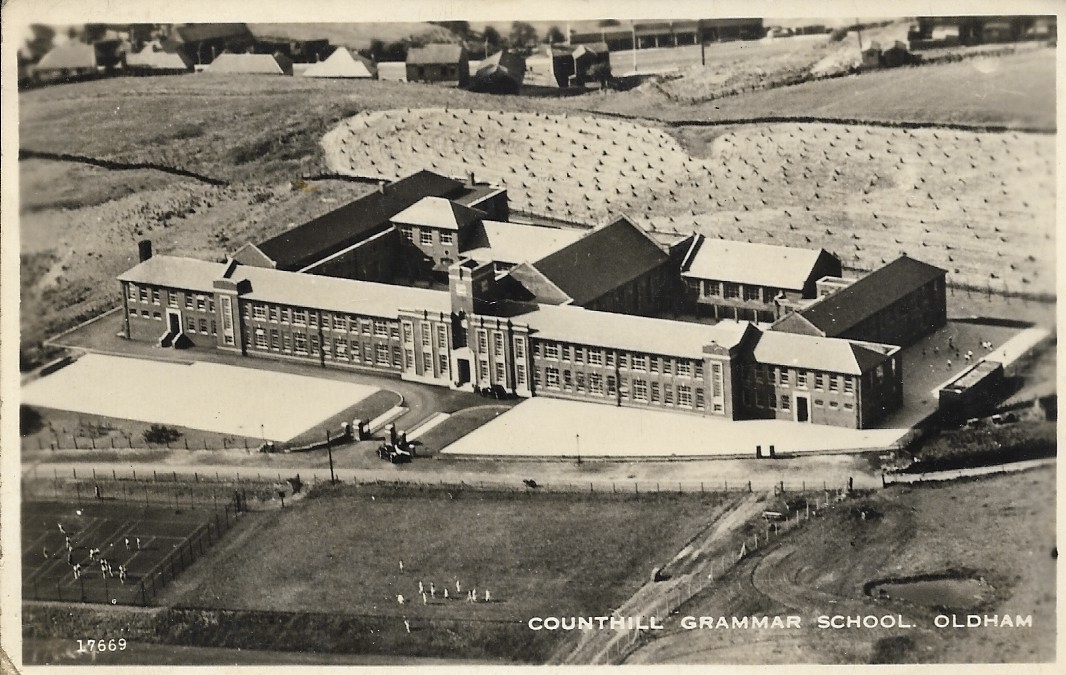
Counthill School

Counthill School formerly a high-achieving Grammar School, was a mixed gender secondary school for 11- to 16-year-olds in the Moorside area of Oldham in...

Springhead Urban District

Springhead Urban District was an urban district in the West Riding of Yorkshire in England. Established in 1895, it functioned until 1937 when it was absorbed...

Nearby Amenities

Located within 500m of 53.558199,-2.0678476
Noexit: yes
Lat/Long: 53.5553505/-2.0649772
Ford: yes
Lat/Long: 53.5599046/-2.0659578
Power: pole
Lat/Long: 53.5575765/-2.0606054
Power: pole
Lat/Long: 53.5573431/-2.0613671
Power: pole
Lat/Long: 53.5571017/-2.061858
Power: pole
Lat/Long: 53.5568611/-2.0623528
Power: pole
Lat/Long: 53.5566205/-2.0628263
Power: pole
Lat/Long: 53.5563719/-2.0633292
Bench
Lat/Long: 53.5559637/-2.0687462
Bench
Lat/Long: 53.5550297/-2.0688704
Bench
Lat/Long: 53.5593722/-2.0643911
Bench
Lat/Long: 53.5593499/-2.0643697
Ford: yes
Lat/Long: 53.560398/-2.0642277
Natural: spring
Lat/Long: 53.5599789/-2.0660192
The data included in this document is from www.openstreetmap.org. The data is made available under ODbL.

Have you been to Upper Strinesdale Reservoir?

Leave your review of Upper Strinesdale Reservoir below (or comments, questions and feedback).