Lower Lake
Lake, Pool, Pond, Freshwater Marsh in Aberdeenshire
Scotland
Lower Lake
Lower Lake is a quaint freshwater marsh located in Aberdeenshire, Scotland. Spanning across an area of approximately 10 acres, it is a picturesque spot that attracts nature enthusiasts and visitors seeking tranquility. The lake is surrounded by lush greenery and offers a serene environment for both wildlife and humans alike.
The lake itself is a natural water body, characterized by its calm and crystal-clear waters. It serves as a habitat for various species of fish, including brown trout and perch, making it a popular destination for anglers. The surrounding area is also home to a diverse range of bird species, such as mallards, tufted ducks, and great crested grebes, making it a haven for birdwatchers.
Beyond the lake, there is a small pool that adds to the charm of the area. This pool is fed by a nearby stream, which is also a source of water for the lake. The pool is relatively shallow and is often teeming with aquatic plants, providing a habitat for frogs, newts, and other small creatures.
Adjacent to the pool is a small pond, which is an integral part of the freshwater marsh ecosystem. It hosts a variety of plant life, including water lilies and reeds, which contribute to the overall beauty of the area. The pond also attracts a wide range of insects, which in turn serve as a food source for the resident bird population.
Overall, Lower Lake in Aberdeenshire offers a serene and harmonious environment, where visitors can immerse themselves in the beauty of nature and observe a diverse array of wildlife.
If you have any feedback on the listing, please let us know in the comments section below.
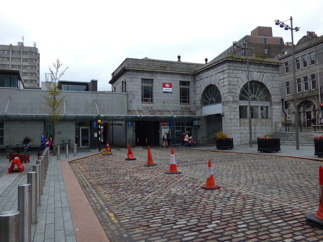
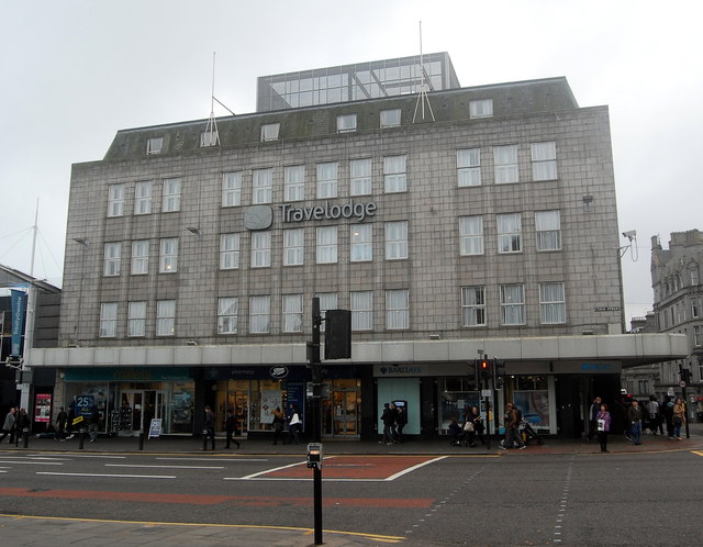
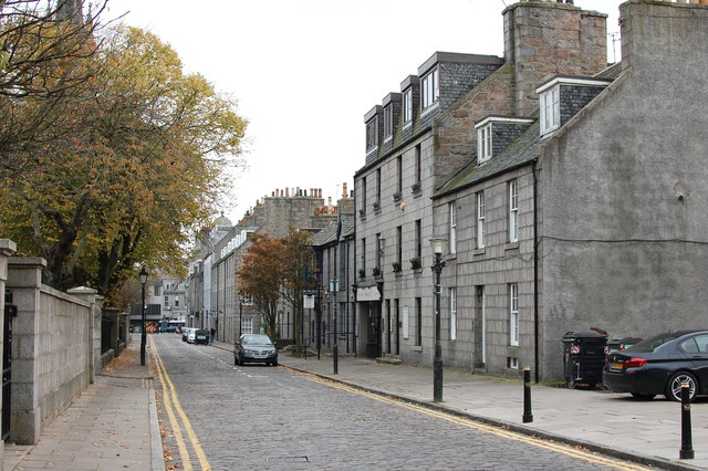
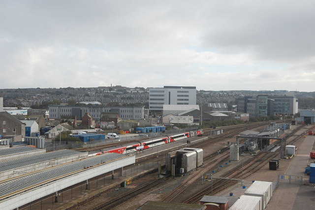
Lower Lake Images
Images are sourced within 2km of 57.129238/-2.1011243 or Grid Reference NJ9304. Thanks to Geograph Open Source API. All images are credited.


Lower Lake is located at Grid Ref: NJ9304 (Lat: 57.129238, Lng: -2.1011243)
Unitary Authority: City of Aberdeen
Police Authority: North East
What 3 Words
///spirit.shift.windy. Near Aberdeen
Nearby Locations
Related Wikis

Banks O' Dee F.C.
Banks o' Dee Football Club is a Scottish football club from the city of Aberdeen that plays in the Scottish Highland Football League. Their home ground...
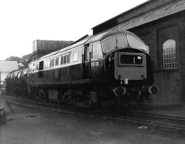
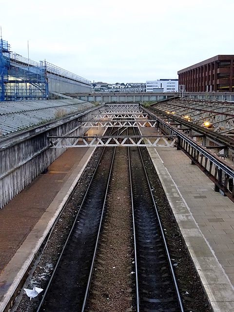
Aberdeen Ferryhill TMD
Aberdeen Ferryhill TMD was a railway traction maintenance depot in Aberdeen, Scotland. The depot was approximately 1 mi (1.6 km) south of Aberdeen railway...
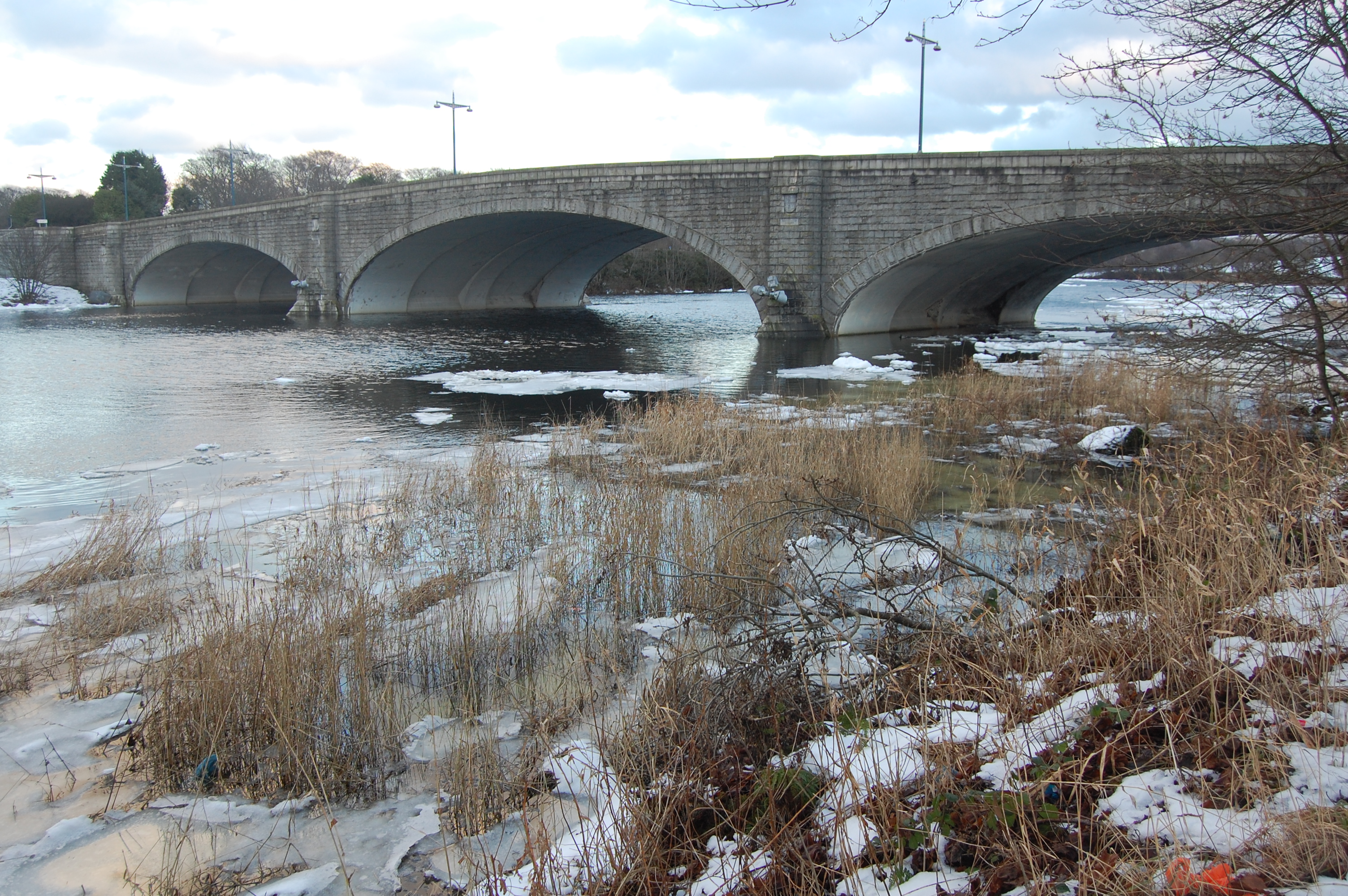
King George VI Bridge
The King George VI Bridge is a bridge over the River Dee in Aberdeen, Scotland. The foundation stone of the bridge was laid by the Lord Provost Edward...
Northsound 1
Northsound 1 is an Independent Local Radio station based in Aberdeen, Scotland, owned and operated by Bauer as part of the Hits Radio network. It broadcasts...
Northsound Radio
Northsound Radio was the name for the original Independent Local Radio station broadcast from Aberdeen and serving the North East of Scotland. In 1995...
Original 106 (radio station)
Original 106 is an Independent Local Radio station owned by DC Thomson and broadcasting to Aberdeenshire and the cities of Aberdeen, Dundee and Perth in...
HM Prison Aberdeen
HM Prison Aberdeen (formerly known as Craiginches) was a medium-security prison, located in the city of Aberdeen, Scotland. The prison was managed by the...
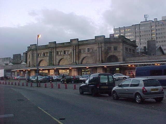
Aberdeen Ferryhill railway station
Aberdeen Ferryhill railway station was the temporary terminus of the Aberdeen Railway and the first railway station to serve the city of Aberdeen. Regular...
Nearby Amenities
Located within 500m of 57.129238,-2.1011243Have you been to Lower Lake?
Leave your review of Lower Lake below (or comments, questions and feedback).