Great Gaddesden

Settlement in Hertfordshire Dacorum

England

Great Gaddesden

Old cottages on Roman Road, Nettleden
Old cottages on Roman Road, Nettleden Credit: David Howard

Great Gaddesden is a small village located in the county of Hertfordshire, England. It is situated about 4 miles north of Hemel Hempstead and approximately 30 miles northwest of Central London. The village falls within the Dacorum local government district and has a population of around 1,500 residents.

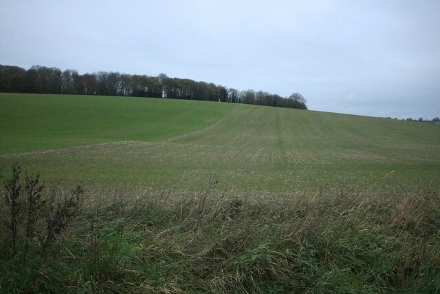
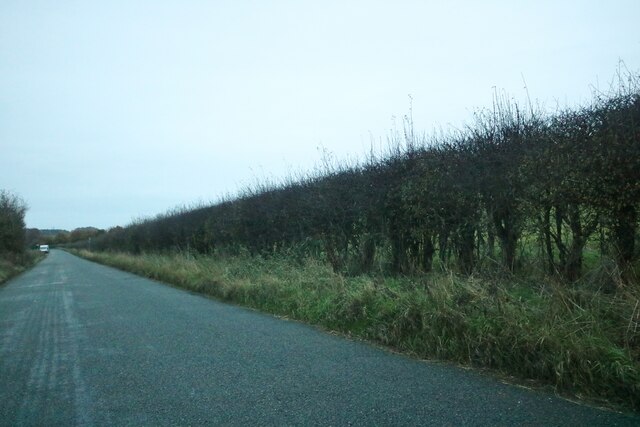
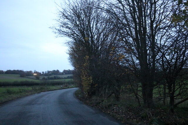
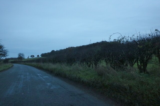
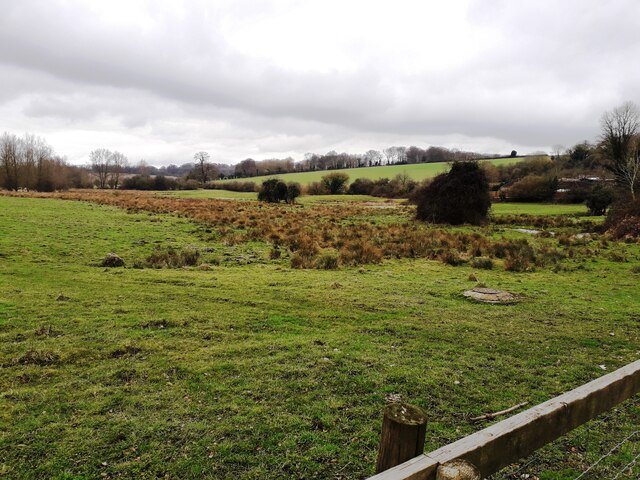
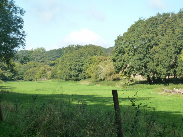
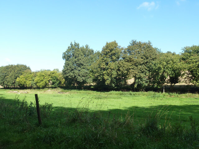
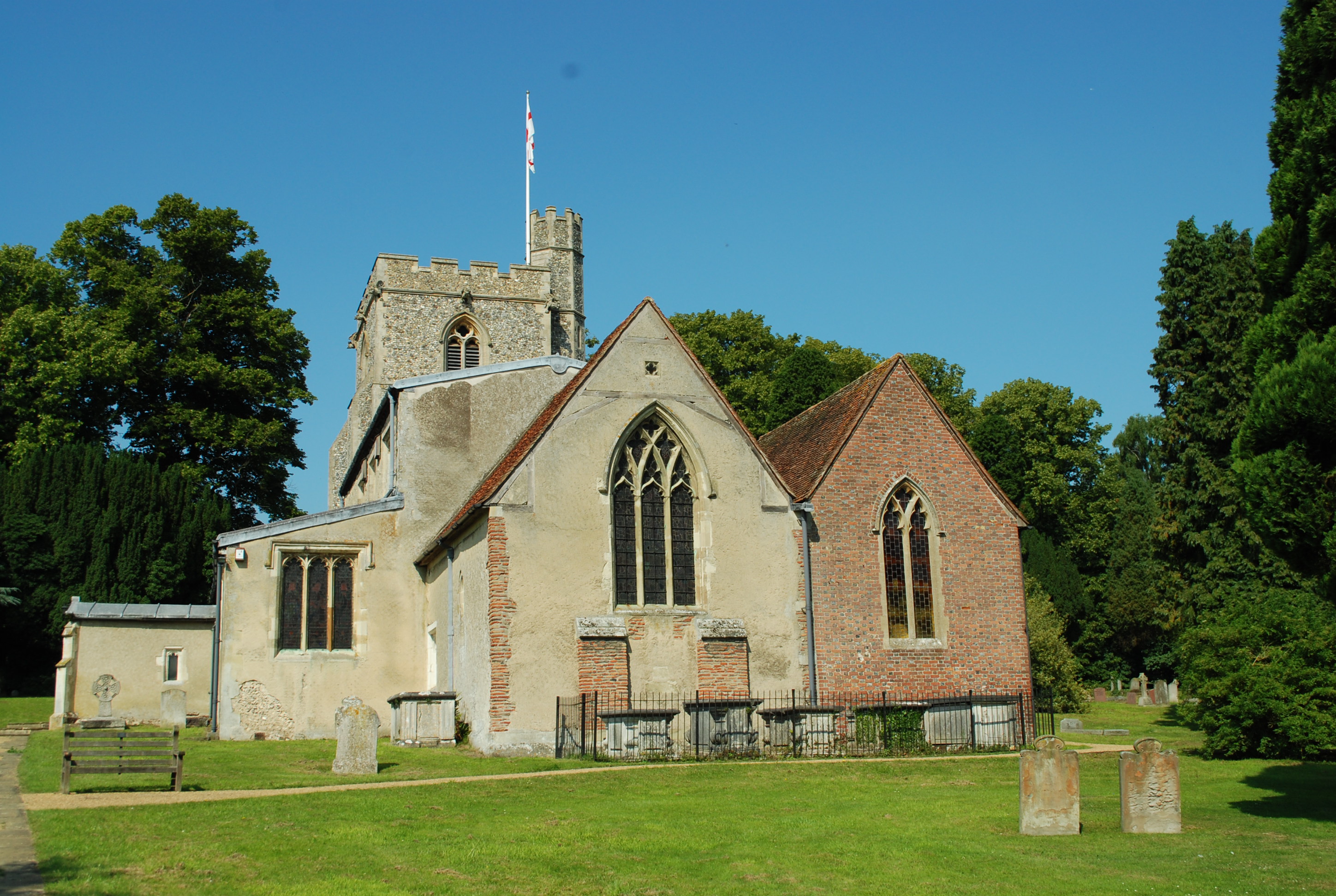
The village is known for its picturesque countryside and tranquil atmosphere. It is surrounded by rolling hills and green fields, providing an idyllic setting for its residents. Great Gaddesden is also home to several historical landmarks, including the St. John the Baptist Church, which dates back to the 12th century. The church features stunning architecture and serves as a gathering place for the local community.

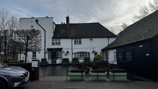
In terms of amenities, Great Gaddesden offers a primary school, a village hall, and a pub called "The Bridgewater Arms." The village is well-connected to neighboring towns and cities, with regular bus services operating in the area. Hemel Hempstead, a larger town nearby, provides further amenities and services for residents of Great Gaddesden.

The village benefits from its proximity to the Chiltern Hills, an Area of Outstanding Natural Beauty, which offers numerous opportunities for outdoor activities such as hiking, cycling, and horse riding. Additionally, Great Gaddesden is within easy reach of nearby attractions like Ashridge Estate and Whipsnade Zoo, making it an appealing destination for visitors as well.

Overall, Great Gaddesden is a charming village that combines natural beauty with a sense of community spirit, providing a peaceful and picturesque place to live or visit.

If you have any feedback on the listing, please let us know in the comments section below.

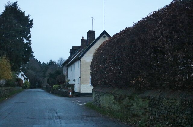
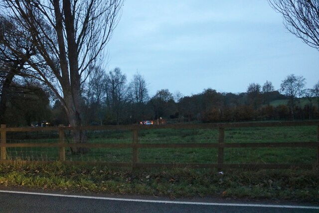
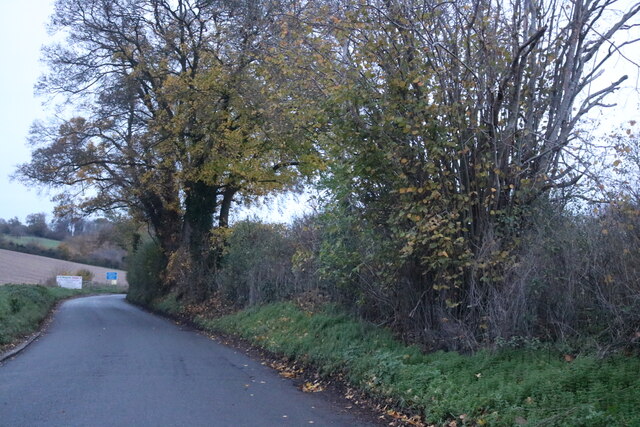
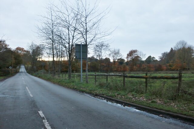
Great Gaddesden Images

Images are sourced within 2km of 51.789169/-0.512771 or Grid Reference TL0211. Thanks to Geograph Open Source API. All images are credited.

Old cottages on Roman Road, Nettleden
Nettleden Road
Nettleden Road
St Lawrence Church, Nettleden
Nettleden Road
Nettleden Road
Field by Leighton Buzzard Road, Water End
Field in Nettleden Those are not sheep, they are llamas.
Field in Nettleden
Those are not sheep, they are llamas.
Nettleden Road
Nettleden Road
Potten End Hill, Water End
Field in Water End Looking towards Highpark Wood.
Field in Water End
Looking towards Highpark Wood.
Nettleden Road, Water End
Hidden house on Nettleden Road, Water End
Nettleden Road
Nettleden Road
Nettleden Road
Nettleden Road
The Red Lion Pub, Leighton Buzzard Road
The Gade Valley A view down the Gade valley from Pipers Hill in Great Gaddesden.
The Gade Valley
A view down the Gade valley from Pipers Hill in Great Gaddesden.
Narrow field along bottom west of Frithsden
Nettleden Road From Nettleden towards Little Gaddesden.
Nettleden Road
From Nettleden towards Little Gaddesden.
Show me another place!

Great Gaddesden is located at Grid Ref: TL0211 (Lat: 51.789169, Lng: -0.512771)

Administrative County: Hertfordshire

District: Dacorum

Police Authority: Hertfordshire

What 3 Words

///galaxy.float.lowest. Near Berkhamsted, Hertfordshire

Related Wikis

Great Gaddesden

Great Gaddesden is a village and civil parish in Dacorum Hundred in Hertfordshire, England. It is located in the Chiltern Hills, north of Hemel Hempstead...

Amaravati Buddhist Monastery

Amaravati is a Theravada Buddhist monastery at the eastern end of the Chiltern Hills in South East England. Established in 1984 by Ajahn Sumedho as an...

Gaddesden Place

Gaddesden Place, near Hemel Hempstead in Hertfordshire, England, was designed by architect James Wyatt and built between 1768 and 1773, and was the home...

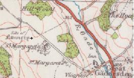
St Margaret's Convent, Hertfordshire

St Margaret's Convent was a convent of the Benedictine order near Great Gaddesden in Hertfordshire, England. Founded in 1160, it was abolished as a consequence...

Nearby Amenities

Located within 500m of 51.789169,-0.512771
Barrier: kissing_gate
Foot: yes
Source: GPS, observation
Lat/Long: 51.7915578/-0.5137029
Great Gaddesden
Created By: Potlatch 0.10
Place: village
Lat/Long: 51.790242/-0.5103564
Bus Stop
Church Meadow
Naptan AtcoCode: 210021407320
Naptan Bearing: SE
Naptan CommonName: Church Meadow
Naptan Crossing: opp Church/JMI School
Naptan Indicator: S-bound
Naptan Landmark: opp Church/JMI School
Naptan NaptanCode: hrtdjdgw
Naptan ShortCommonName: NA
Naptan Street: Church Meadow
Naptan Verified: no
Source: naptan_import
Lat/Long: 51.7905771/-0.5083088
Barrier: kissing_gate
Foot: yes
Source: GPS, observation
Lat/Long: 51.7917035/-0.5166075
Pipers Hill
Natural: peak
Lat/Long: 51.7866003/-0.5163807
Post Box
Collection Times: Mo-Fr 16:30; Sa 08:45
Operator: Royal Mail
Post Box Type: wall
Ref: HP1 133
Royal Cypher: VR
Royal Cypher Wikidata: Q33102356
Source: survey
Survey Date: 2015-08-16
Lat/Long: 51.7892842/-0.5115135
Post Box
Collection Times: Mo-Fr 09:00; Sa 07:00
Operator: Royal Mail
Post Box Type: lamp
Ref: HP1 134D
Royal Cypher: GR
Royal Cypher Wikidata: Q33102273
Source: survey
Survey Date: 2015-08-16
Lat/Long: 51.7911453/-0.5180851
Post Box
Collection Times: Mo-Fr 09:00; Sa 07:00
Operator: Royal Mail
Post Box Type: lamp
Ref: HP1 132D
Royal Cypher: EIIR
Royal Cypher Wikidata: Q33102113
Source: survey
Survey Date: 2015-08-16
Lat/Long: 51.791818/-0.5095449
Telephone
Defibrillator
Booth: KX300
Defibrillator Location: inside phone box next to Great Gaddesden Road
Emergency: defibrillator
Man Made: telephone_box
Lat/Long: 51.7906574/-0.5087244
St Margaret's
Place: hamlet
Lat/Long: 51.7903387/-0.5165058
Barrier: stile
Foot: yes
Source: GPS, observation
Lat/Long: 51.7913726/-0.5112639
Barrier: kissing_gate
Foot: yes
Source: GPS, observation
Lat/Long: 51.7923941/-0.5097823
Addr Housename: White Lady Cottage
Addr Housenumber: 13-14
Addr Street: St Margaret's
Lat/Long: 51.7908263/-0.5186326
The data included in this document is from www.openstreetmap.org. The data is made available under ODbL.

Have you been to Great Gaddesden?

Leave your review of Great Gaddesden below (or comments, questions and feedback).