South Grain Tarn

Lake, Pool, Pond, Freshwater Marsh in Yorkshire Craven

England

South Grain Tarn

Kidstones Bank A photograph taken looking north from the bottom of Kidstones Bank, up the lane leading onto Kidstones Fell.
Kidstones Bank Credit: Kevin Pearson

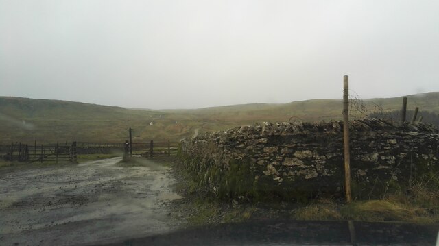
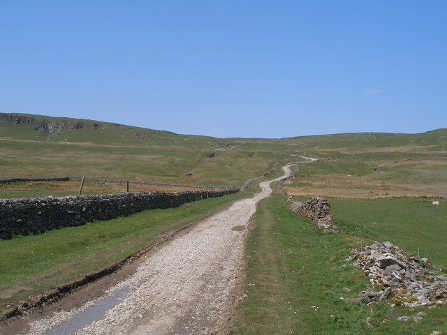
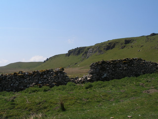
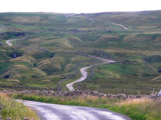
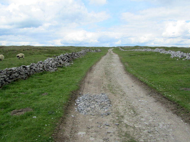
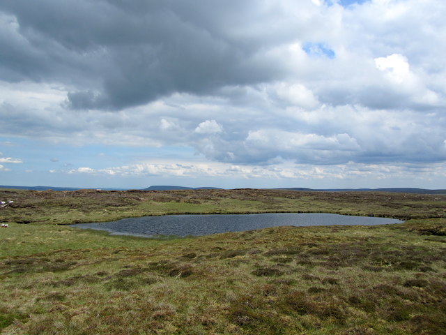
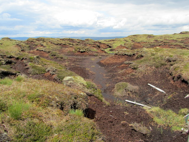
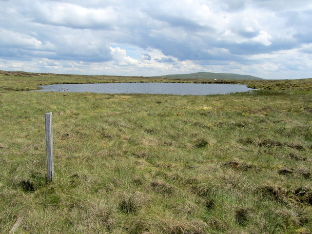
South Grain Tarn is a picturesque freshwater lake located in the county of Yorkshire, England. Nestled within the beautiful landscape of the Yorkshire Dales National Park, this stunning body of water is surrounded by rolling hills, lush greenery, and an abundance of wildlife.

Covering an area of approximately 10 acres, South Grain Tarn boasts crystal-clear waters that reflect the surrounding scenery, creating a truly idyllic setting. The lake's calm and serene atmosphere makes it a popular spot for visitors seeking tranquility and natural beauty.

The tarn is home to a diverse range of aquatic plants and wildlife. Its shores are adorned with reed beds and water lilies, providing a perfect habitat for numerous species of birds, insects, and small mammals. Birdwatchers flock to South Grain Tarn to catch a glimpse of rare species such as kingfishers, herons, and even the occasional osprey.

Fishing enthusiasts are drawn to the lake's abundant fish population, which includes species such as trout, pike, and perch. The calm and clear waters make it an ideal spot for both experienced anglers and novices alike.

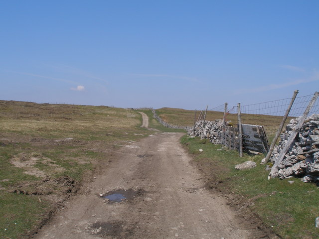
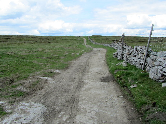
Surrounding South Grain Tarn are several walking trails, allowing visitors to explore the area and take in the breathtaking views. The tarn's location within the national park means that it is easily accessible and provides an opportunity for visitors to immerse themselves in the stunning natural beauty of the Yorkshire Dales.

Overall, South Grain Tarn offers a tranquil and picturesque retreat for nature lovers, providing a haven of peace and beauty in the heart of Yorkshire.

If you have any feedback on the listing, please let us know in the comments section below.

South Grain Tarn Images

Images are sourced within 2km of 54.231477/-2.1133618 or Grid Reference SD9281. Thanks to Geograph Open Source API. All images are credited.

Kidstones Bank A photograph taken looking north from the bottom of Kidstones Bank, up the lane leading onto Kidstones Fell.
Kidstones Bank
A photograph taken looking north from the bottom of Kidstones Bank, up the lane leading onto Kidstones Fell.
Chapel Moor Following a drystone wall downhill.
Chapel Moor
Following a drystone wall downhill.
Triangulation pillar on Yockenthwaite Moor Heavily damaged trig pillar.
Triangulation pillar on Yockenthwaite Moor
Heavily damaged trig pillar.
Peat bogs on Yockenthwaite Moor Would not like to be up here on a wet day.
Peat bogs on Yockenthwaite Moor
Would not like to be up here on a wet day.
Yockenthwaite Moor Boundary fence on Yockenthwaite Moor.
Yockenthwaite Moor
Boundary fence on Yockenthwaite Moor.
Gilbert Lane at Causeway Moss
Crags above Middle Pasture from Gilbert Lane
Gilbert Lane
Gilbert Lane
Gilbert Lane on Stake Moss
Footpath leaves the track for Great Silky Top In more rugged areas, Great Silky Top would hardly merit a mention but the Ordnance Survey seem to prefer to put a name on the map rather than leave a large blank area - quite right too!
Footpath leaves the track for Great Silky Top
In more rugged areas, Great Silky Top would hardly merit a mention but the Ordnance Survey seem to prefer to put a name on the map rather than leave a large blank area - quite right too!
The long and winding road. Gilbert Lane at Causeway Moss
On Gilbert Lane Ancient route between Wharfedale and Wensleydale that crosses over Kidstones and Stake Moss - seen here close to its highest point.
On Gilbert Lane
Ancient route between Wharfedale and Wensleydale that crosses over Kidstones and Stake Moss - seen here close to its highest point.
Gilbert Lane The ancient track approaching its highest point on its journey between Wharfedale and Wensleydale.
Gilbert Lane
The ancient track approaching its highest point on its journey between Wharfedale and Wensleydale.
West Fell High rough pasture just on the Wensleydale side of the Ure/Wharfe watershed.
West Fell
High rough pasture just on the Wensleydale side of the Ure/Wharfe watershed.
South Grain Tarn Seldom visited body of water on Cray Moss on the Wensleydale/Wharfedale watershed.
South Grain Tarn
Seldom visited body of water on Cray Moss on the Wensleydale/Wharfedale watershed.
Peat Groughs near South Grain Tarn A hopeless landscape of peat groughs, making progress awkward and difficult on the watershed between Wharfedale and Wensleydale.
Peat Groughs near South Grain Tarn
A hopeless landscape of peat groughs, making progress awkward and difficult on the watershed between Wharfedale and Wensleydale.
South Grain Tarn on Cray Moss Lonely tarn high on the Wensleydale/Wharfedale watershed
South Grain Tarn on Cray Moss
Lonely tarn high on the Wensleydale/Wharfedale watershed
A Depleted Cray Tarn The tarn seems to have shrunk - and it cannot be from lack of rain, because there has been plenty of it.
A Depleted Cray Tarn
The tarn seems to have shrunk - and it cannot be from lack of rain, because there has been plenty of it.
Show me another place!

South Grain Tarn is located at Grid Ref: SD9281 (Lat: 54.231477, Lng: -2.1133618)

Division: West Riding

Administrative County: North Yorkshire

District: Craven

Police Authority: North Yorkshire

What 3 Words

///cross.speeded.bedspread. Near Grassington, North Yorkshire

Nearby Locations

South Grain Tarn Cray Moss

Related Wikis

Cray, North Yorkshire

Cray is a hamlet on the B6160 road on a steep hill above Wharfedale in the Yorkshire Dales, North Yorkshire, England. It is near Buckden and the River...

Bishopdale, North Yorkshire

Bishopdale is a dale in the Yorkshire Dales National Park in North Yorkshire, England. The dale is a side dale on the south side of Wensleydale, and extends...

Langstrothdale

Langstrothdale is a scenic valley in the Yorkshire Dales in North Yorkshire, England. The uppermost course of the River Wharfe runs through it, but Wharfedale...

Yockenthwaite

Yockenthwaite is a hamlet in the Craven district of North Yorkshire, England. It lies in the Langstrothdale valley in the Yorkshire Dales National Park...

Nearby Amenities

Located within 500m of 54.231477,-2.1133618
West Fell
Natural: fell
Source: NPE
Lat/Long: 54.2343458/-2.115273
Huckley Hill
Natural: peak
Source: OS 1856
Lat/Long: 54.2317887/-2.1112393
Historic: mine_shaft
Note: tentative identification only. Appears to have tailings or spoil around it. Could be modern.
Source: Bing
Lat/Long: 54.2329887/-2.1104055
The data included in this document is from www.openstreetmap.org. The data is made available under ODbL.

Have you been to South Grain Tarn?

Leave your review of South Grain Tarn below (or comments, questions and feedback).