Boat Pot
Lake, Pool, Pond, Freshwater Marsh in Aberdeenshire
Scotland
Boat Pot

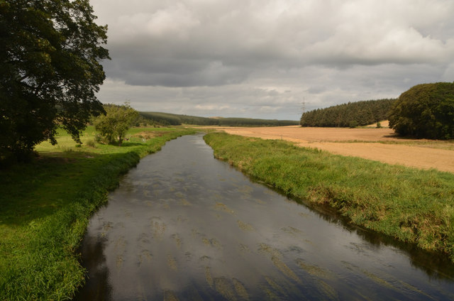
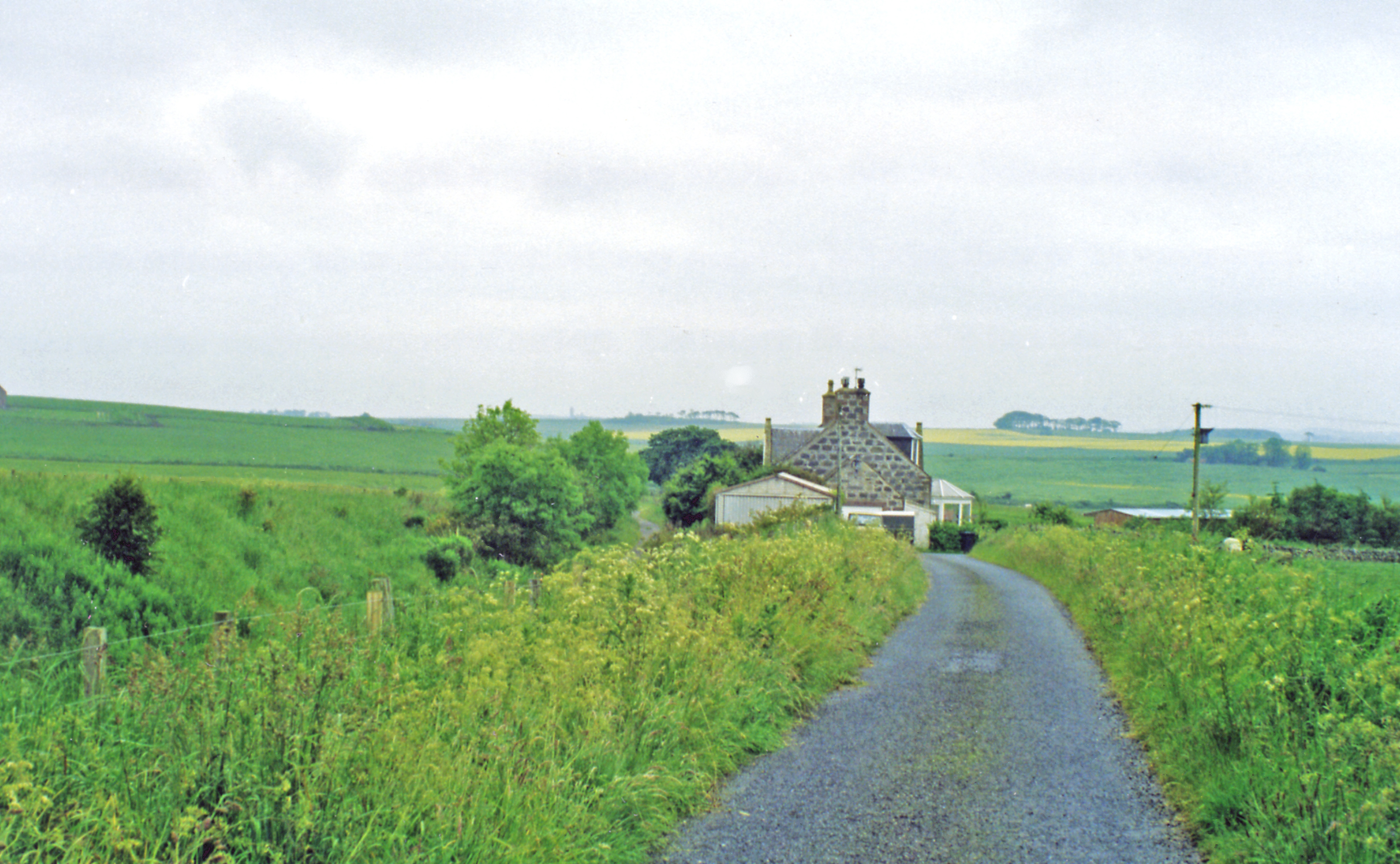
Boat Pot is a picturesque freshwater marsh located in Aberdeenshire, Scotland. This natural wonder encompasses a combination of a lake, pool, pond, and marshland, offering a diverse and unique ecosystem.
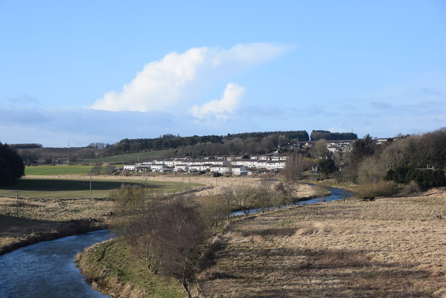
The centerpiece of Boat Pot is the expansive lake, which stretches across the landscape and provides a stunning reflection of the surrounding hills and vegetation. The crystal-clear waters of the lake are teeming with various species of fish, making it a popular spot for anglers from near and far.
Surrounding the lake, there are smaller pools and ponds that add to the charm of Boat Pot. These smaller bodies of water are home to a rich array of aquatic plants and invertebrates, creating a vibrant and flourishing habitat for numerous species of birds, amphibians, and insects.
The lush freshwater marshland stretches along the edges of the lake, further enhancing the beauty and biodiversity of Boat Pot. The marsh is characterized by its lush vegetation, including cattails, reeds, and water lilies, which provide shelter and food for a wide range of wildlife.
Boat Pot offers a haven for nature enthusiasts and birdwatchers, who can spot a variety of bird species, including herons, ducks, and swans. The surrounding hills and woodland provide a scenic backdrop, making it an ideal location for hiking and picnicking.
Overall, Boat Pot in Aberdeenshire is a natural gem that combines the tranquility of a lake, the serenity of a pool, the charm of a pond, and the richness of a freshwater marsh. Its diverse ecosystem and breathtaking scenery make it a cherished destination for visitors seeking a peaceful and immersive experience in nature.
If you have any feedback on the listing, please let us know in the comments section below.
Boat Pot Images
Images are sourced within 2km of 57.370096/-2.1297866 or Grid Reference NJ9231. Thanks to Geograph Open Source API. All images are credited.


Boat Pot is located at Grid Ref: NJ9231 (Lat: 57.370096, Lng: -2.1297866)
Unitary Authority: Aberdeenshire
Police Authority: North East
What 3 Words
///attention.steams.profile. Near Ellon, Aberdeenshire
Nearby Locations
Related Wikis
Esslemont railway station
Esslemont railway station was a railway station in Esslemont, Aberdeenshire. == History == The station was opened on 18 July 1861 by the Formartine and...
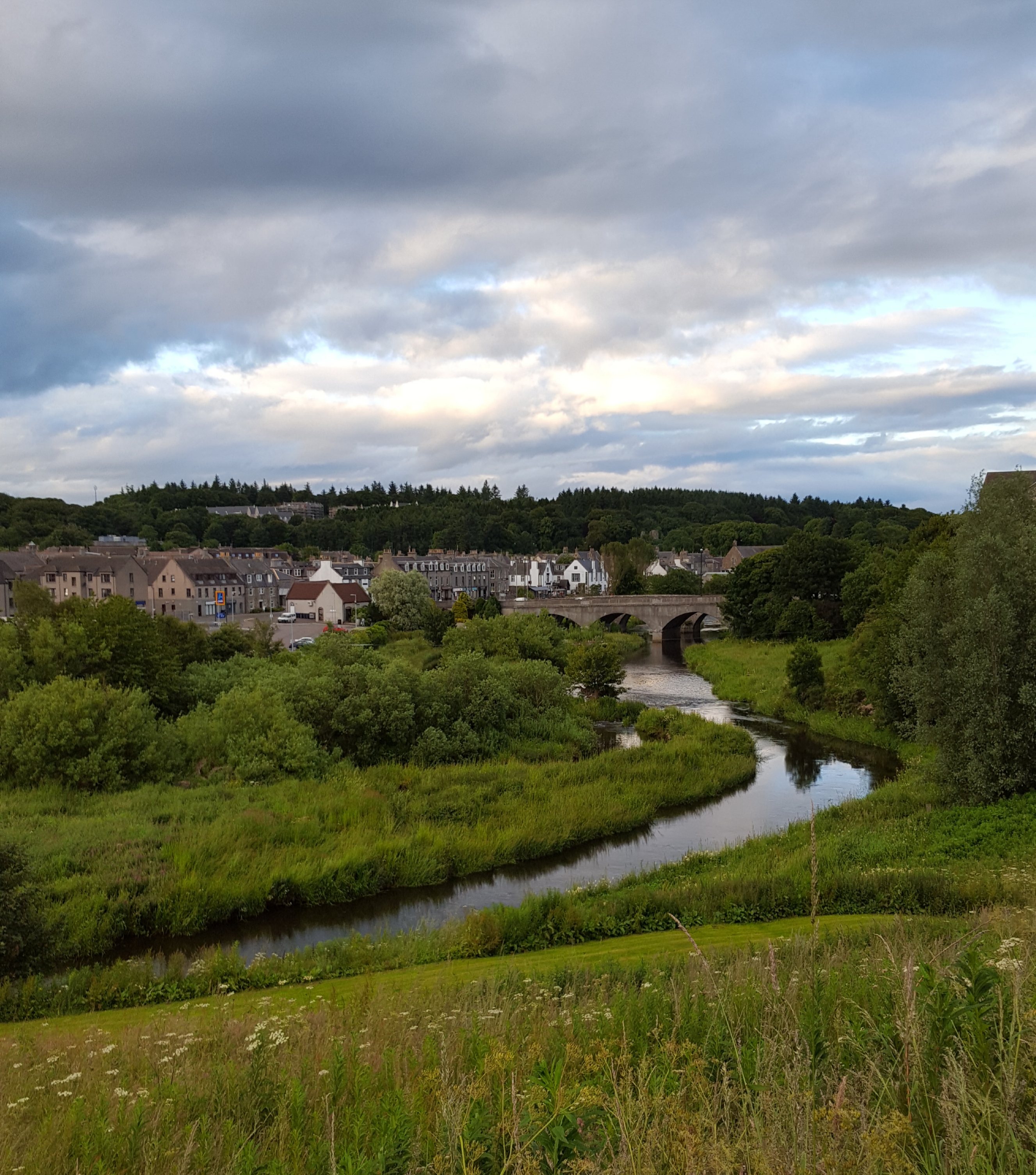
Ellon, Aberdeenshire
Ellon (Scottish Gaelic: Eilean) is a town in Aberdeenshire, Scotland, approximately 16 miles (26 kilometres) north of Aberdeen, lying on the River Ythan...
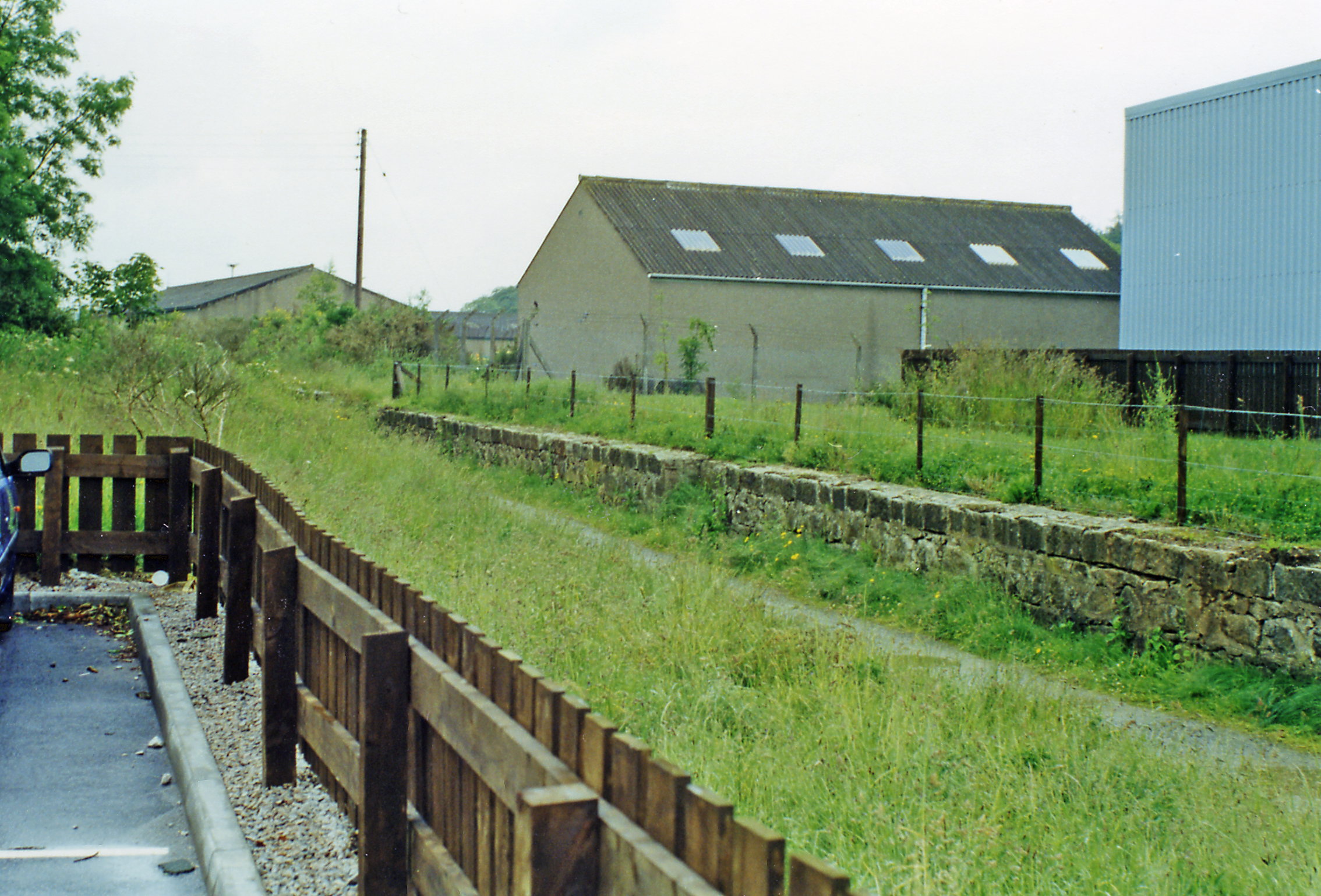
Ellon railway station
Ellon railway station was a railway station in Ellon, Aberdeenshire, Scotland. == History == Ellon Railway Station (originally Ellon for Cruden) was situated...

Dumbreck Castle
Dumbreck Castle was a tower house, dating from the 16th century, around 3.5 miles (5.6 km) west of Ellon, in Aberdeenshire, Scotland.Alternative names...

Ythsie
Ythsie is a hamlet in Aberdeenshire, Scotland, about one mile east of Tarves.To the north of the hamlet, on the Hill of Ythsie, is a tower called the Prop...
Cairnleith Crofts
Cairnleith Crofts is a group of dwellings in Ythanbank, Aberdeenshire, Scotland. == References ==

Ythanbank
Ythanbank is a village in Aberdeenshire, Scotland. It is situated on the east bank of the River Ythan on the B9005, 4 miles (6.4 km) north-west of the...
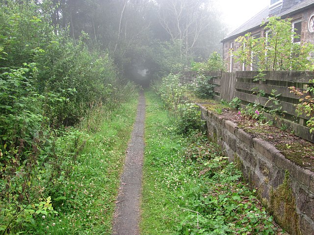
Logierieve railway station
Logierieve railway station was a railway station in Logierieve, Aberdeenshire. == History == Logierieve railway station was opened on 18 July 1861, originally...
Nearby Amenities
Located within 500m of 57.370096,-2.1297866Have you been to Boat Pot?
Leave your review of Boat Pot below (or comments, questions and feedback).