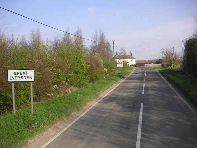
Great Eversden

Settlement in Cambridgeshire South Cambridgeshire

England

Great Eversden

Great Eversden, St Mary <span class="nowrap"><a title="http://www.druidic.org/camchurch/churches/gteversden.htm" rel="nofollow ugc noopener" href="http://www.druidic.org/camchurch/churches/gteversden.htm">Link</a><img style="margin-left:2px;" alt="External link" title="External link - shift click to open in new window" src="https://s1.geograph.org.uk/img/external.png" width="10" height="10"/></span>
Great Eversden, St Mary Credit: mym

Great Eversden is a small village located in Cambridgeshire, England. It is situated approximately 8 miles southwest of Cambridge and has a population of around 500 residents. The village is known for its picturesque countryside surroundings and historic charm.

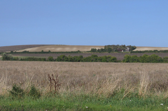
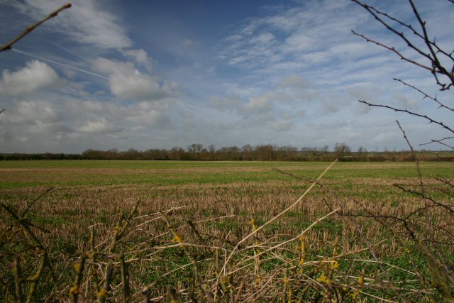
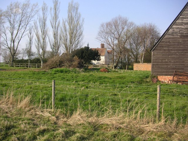
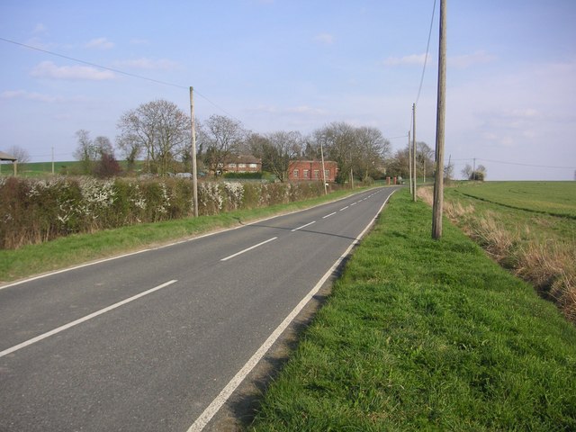
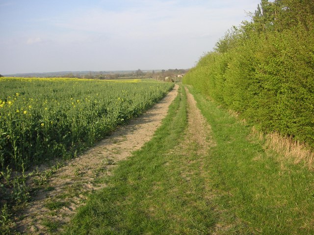
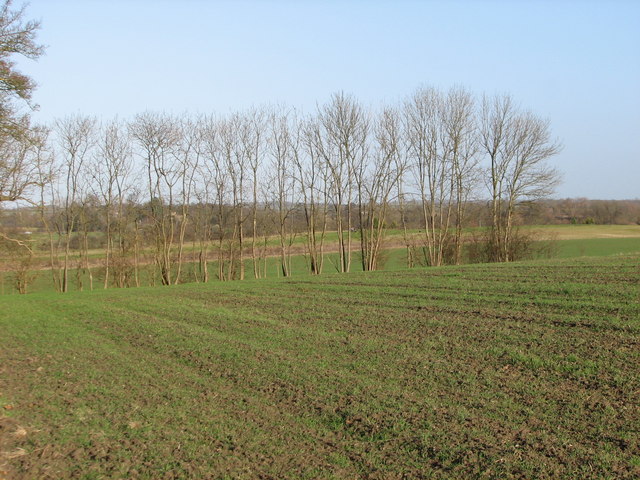
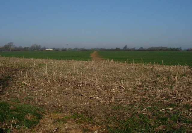
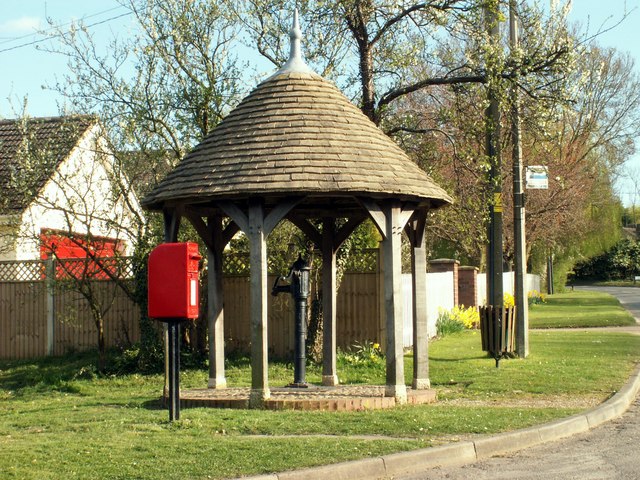
Great Eversden is a close-knit community with a range of amenities including a village hall, church, and a pub. The village is surrounded by farmland and offers stunning views of the Cambridgeshire countryside. It is a popular destination for walkers and cyclists, with many scenic routes and footpaths to explore.

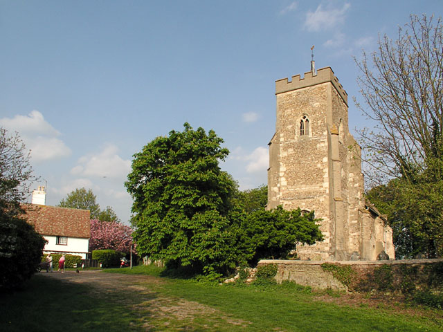
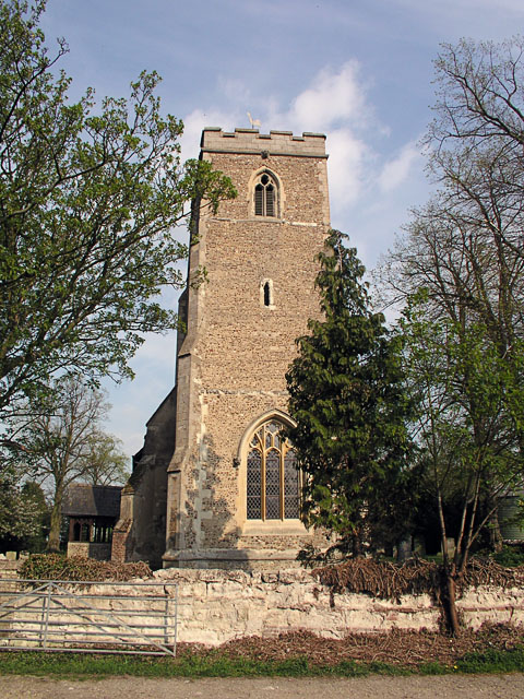
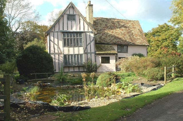
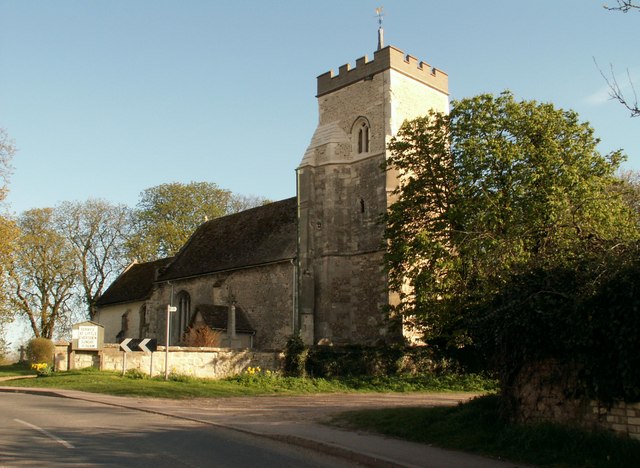
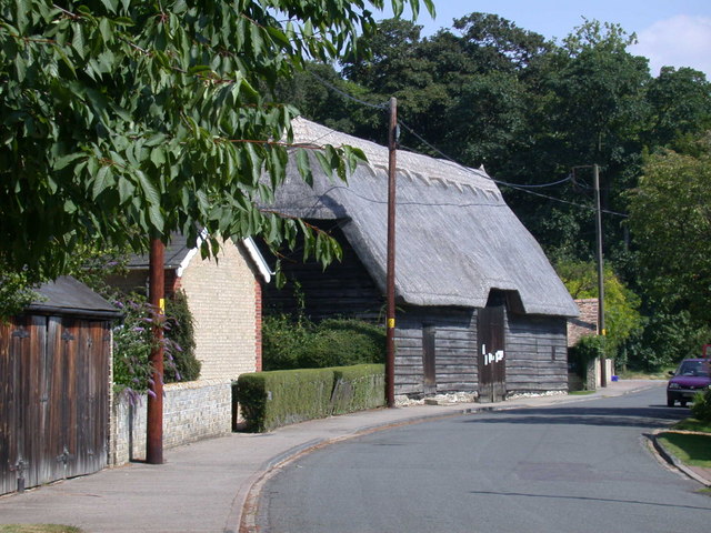
The architecture in Great Eversden is predominantly traditional English village style, with a mix of thatched cottages and brick houses. The village has a rich history dating back to medieval times, with several historic buildings still standing today.

Overall, Great Eversden is a peaceful and idyllic village, perfect for those looking to escape the hustle and bustle of city life and enjoy the beauty of the English countryside.

If you have any feedback on the listing, please let us know in the comments section below.

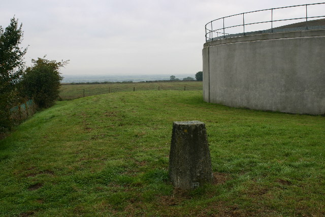
Great Eversden Images

Images are sourced within 2km of 52.162774/-0.006531 or Grid Reference TL3653. Thanks to Geograph Open Source API. All images are credited.

Great Eversden, St Mary <span class="nowrap"><a title="http://www.druidic.org/camchurch/churches/gteversden.htm" rel="nofollow ugc noopener" href="http://www.druidic.org/camchurch/churches/gteversden.htm">Link</a><img style="margin-left:2px;" alt="External link" title="External link - shift click to open in new window" src="https://s1.geograph.org.uk/img/external.png" width="10" height="10"/></span>
Great Eversden, St Mary
Little Eversden, St Helen <span class="nowrap"><a title="http://www.druidic.org/camchurch/churches/lteversden.htm" rel="nofollow ugc noopener" href="http://www.druidic.org/camchurch/churches/lteversden.htm">Link</a><img style="margin-left:2px;" alt="External link" title="External link - shift click to open in new window" src="https://s1.geograph.org.uk/img/external.png" width="10" height="10"/></span>
Little Eversden, St Helen
Little Eversden stripes, Cambs View across the square from the A603 Roman Road towards the eastern edge, south of Little Eversden; the 'chalk stripes' on the slope were formed by solifluction in a periglacial environment.
Little Eversden stripes, Cambs
View across the square from the A603 Roman Road towards the eastern edge, south of Little Eversden; the 'chalk stripes' on the slope were formed by solifluction in a periglacial environment.
Smooth curves at Orwell, Cambs Smooth gentle curves on the Lower Chalk above Rectory Farm, Orwell.
Smooth curves at Orwell, Cambs
Smooth gentle curves on the Lower Chalk above Rectory Farm, Orwell.
East Anglian 'mountains' near Orwell, Cambs Steep slopes and bare, eroded patches in the distance along the Lower Chalk escarpment; view SE from above Thorn Hill towards Mare Way on the far horizon.
East Anglian 'mountains' near Orwell, Cambs
Steep slopes and bare, eroded patches in the distance along the Lower Chalk escarpment; view SE from above Thorn Hill towards Mare Way on the far horizon.
New Farm trig looking towards Great Eversden Trig is in a reservoir compound.
New Farm trig looking towards Great Eversden
Trig is in a reservoir compound.
Open farmland north of Little Eversden Looking west from the footpath that leads from Comberton to Little Eversden.
Open farmland north of Little Eversden
Looking west from the footpath that leads from Comberton to Little Eversden.
Footpath to Little Eversden This path links Comberton with Little Eversden. The houses in the distance are in the adjacent square.
Footpath to Little Eversden
This path links Comberton with Little Eversden. The houses in the distance are in the adjacent square.
Disused railway south of Comberton Looking west from the same point as <a href="https://www.geograph.org.uk/photo/350423">TL3854 : Disused railway south of Comberton</a>.
Disused railway south of Comberton
Looking west from the same point as TL3854 : Disused railway south of Comberton.
Manor Farm in Great Eversden Manor Farm in Great Eversden, photograph made from public footpath to bird reserve.
Manor Farm in Great Eversden
Manor Farm in Great Eversden, photograph made from public footpath to bird reserve.
Buildings near Claypit Hill Photograph was shot from east of Brook Cottage
Buildings near Claypit Hill
Photograph was shot from east of Brook Cottage
Great Eversden from disused Eversden Quarry
Red House Farm at the West Entry of Great Eversden
Five Gables Farm Five Gables Farm at Little Eversden, Cambridgeshire.
Five Gables Farm
Five Gables Farm at Little Eversden, Cambridgeshire.
Farmland north of Claypit Hill looking towards Toft
Game cover and footpath Footpath reinstated with herbicide after the crop has germinated.
Game cover and footpath
Footpath reinstated with herbicide after the crop has germinated.
Wheat field with telephone lines
Formerly The Fox, Great Eversden Now just a house but the old pub name is painted on a stone resting beside it.
Formerly The Fox, Great Eversden
Now just a house but the old pub name is painted on a stone resting beside it.
Show me another place!

Great Eversden is located at Grid Ref: TL3653 (Lat: 52.162774, Lng: -0.006531)

Administrative County: Cambridgeshire

District: South Cambridgeshire

Police Authority: Cambridgeshire

What 3 Words

///liver.attend.wound. Near Comberton, Cambridgeshire

Related Wikis

Great Eversden

Great Eversden is a village 6 miles south-west of Cambridge, England. The population of the civil parish at the 2011 Census was 241. The Prime Meridian...

Little Eversden

Little Eversden is a village approximately 7 miles (11 km) south-west of Cambridge, England. It has two main roads: Harlton Road which goes through Little...

Kingston, Cambridgeshire

Kingston is a small village and parish in the East of England region and the county Cambridgeshire in the United Kingdom. Situated 7 miles to the west...

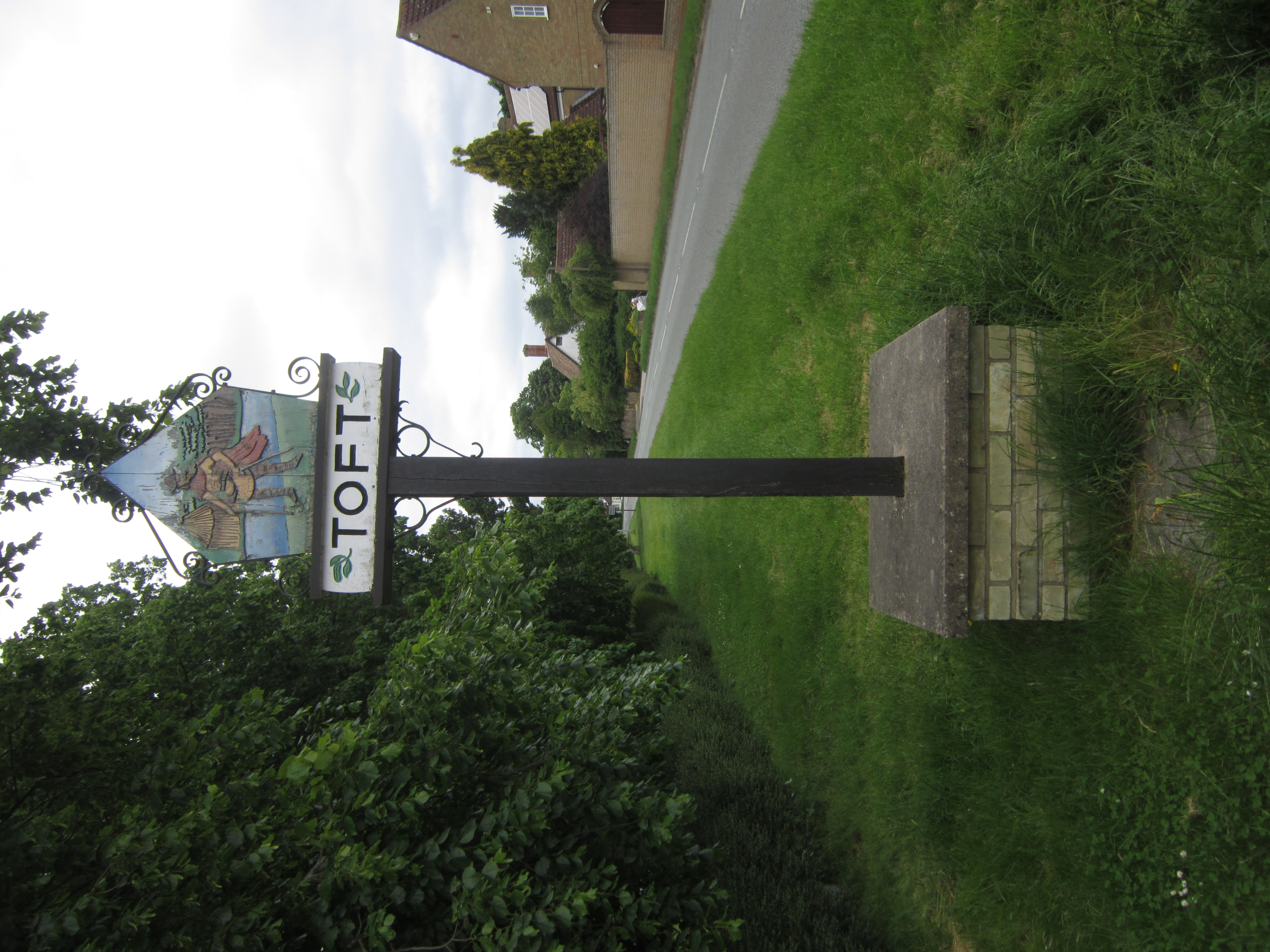
Toft, Cambridgeshire

Toft is a village situated in Cambridgeshire, England. It is approximately six miles to the west of Cambridge, and is situated within four miles of the...

Nearby Amenities

Located within 500m of 52.162774,-0.006531
Great Eversden
Is In: Cambridgeshire, England, UK
Place: village
Population: 240
Source Population: http://www.scambs.gov.uk/CommunityandLiving/VillageServicesAndAmenities/
Source Ref Name: npe
Wikidata: Q2230369
Lat/Long: 52.1630037/-0.0091725
Meridian Marker
Historic: monument
Lat/Long: 52.1607039/-0.0016896
Restaurant
Cam Spice
Addr City: Great Eversden
Addr Housenumber: 2
Addr Postcode: CB23 1HN
Addr Street: High Street
Alt Name: The Hoops Tandoori
Cuisine: indian
Fhrs Id: 597148
Fhrs Local Authority Id: PI/000121294
Phone: +44 1223 264443
Takeaway: yes
Website: https://www.camspice.co.uk/
Lat/Long: 52.1628987/-0.0064572
Post Box
Collection Times: Mo-Fr 16:00; Sa 10:45
Post Box Design: type_a
Post Box Type: pillar
Ref: CB23 334
Royal Cypher: VR
Royal Cypher Wikidata: Q33102356
Source: survey
Lat/Long: 52.1635925/-0.0084337
Bus Stop
Wimpole Road
Naptan AtcoCode: 0500SGALE002
Naptan Bearing: NW
Naptan CommonName: Wimpole Road
Naptan Indicator: near
Naptan Landmark: Wimpole Road
Naptan NaptanCode: cmbdwjat
Naptan ShortCommonName: Wimpole Road
Naptan Street: Church Street
Naptan Verified: no
Source: naptan_import
Lat/Long: 52.1627278/-0.0063898
Bus Stop
Wimpole Road
Naptan AtcoCode: 0500SGALE003
Naptan Bearing: SE
Naptan CommonName: Wimpole Road
Naptan Indicator: opp
Naptan Landmark: Chapel Road
Naptan NaptanCode: cmbdwjaw
Naptan ShortCommonName: Wimpole Road
Naptan Street: Church Street
Naptan Verified: no
Note Route75: For some reason, this is the bus stop for both directions -- even though there's a bus stop opposite. Maybe it's a bus stop flag reading "Bus stop both sides of road" or something.
Shelter: yes
Source: naptan_import
Lat/Long: 52.1627441/-0.0063016
Power: pole
Lat/Long: 52.165152/-0.0089667
Power: pole
Lat/Long: 52.1647753/-0.0081379
Power: pole
Lat/Long: 52.1656818/-0.0101093
Power: pole
Lat/Long: 52.162166/-0.0028006
Power: pole
Lat/Long: 52.1612576/-0.0010838
Power: pole
Lat/Long: 52.1616261/-0.0017704
Power: pole
Lat/Long: 52.1628181/-0.0040475
Power: pole
Lat/Long: 52.1632189/-0.0048012
Historic: memorial
Memorial: war_memorial
Lat/Long: 52.1614731/-0.0036398
Give Way
Lat/Long: 52.1627787/-0.006558
Defibrillator
Addr Postcode: CB23 1HP
Defibrillator Location: outside Eversden Village Hall
Emergency: defibrillator
Indoor: no
Ref: DFS-1K-3999
Lat/Long: 52.1635511/-0.0049511
Advertising: board
Lit: no
Support: pole
Visibility: house
Lat/Long: 52.1627408/-0.0062507
Toilets
Access: permissive
Opening Hours Covid19: restricted
Toilets Handwashing: yes
Unisex: yes
Wheelchair: yes
Lat/Long: 52.1613877/-0.0036418
Recycling
Note: Takes Biscuit wrappers Crisp wrappers, toothbrushes, toothpaste tubes.
Operator: TerraCycle
Recycling Type: bin
Lat/Long: 52.1634605/-0.005113
Telephone
Booth: K6
Covered: booth
Listed Status: Grade II
Phone: +44 1223 262623
Wikidata: Q26524781
Lat/Long: 52.162839/-0.0061935
Information: guidepost
Tourism: information
Lat/Long: 52.1650878/-0.0087829
Barrier: kissing_gate
Lat/Long: 52.1636227/-0.0051901
Information: guidepost
Tourism: information
Lat/Long: 52.1635285/-0.0051438
Information: guidepost
Tourism: information
Lat/Long: 52.1595076/-0.0082397
Information: guidepost
Tourism: information
Lat/Long: 52.1616281/-0.0030651
Information: route_marker
Tourism: information
Lat/Long: 52.1618046/-0.0029611
Information: guidepost
Tourism: information
Lat/Long: 52.1613949/-0.0028247
Information: guidepost
Tourism: information
Lat/Long: 52.1614994/-0.002762
Information: guidepost
Tourism: information
Lat/Long: 52.161538/-0.0036787
Information: guidepost
Tourism: information
Lat/Long: 52.1612736/-0.0040902
Information: guidepost
Tourism: information
Lat/Long: 52.1619704/-0.0077717
Barrier: stile
Lat/Long: 52.1633461/-0.0108279
Bench
Note: bench around base of tree
Lat/Long: 52.1635595/-0.004924
Bench
Lat/Long: 52.1633755/-0.0048823
Bench
Lat/Long: 52.1634043/-0.004895
Bench
Lat/Long: 52.16344/-0.0049628
Bench
Lat/Long: 52.1634594/-0.0049976
Information: route_marker
Tourism: information
Lat/Long: 52.1625479/-0.002302
Information: route_marker
Tourism: information
Lat/Long: 52.1625804/-0.0027043
Information: guidepost
Tourism: information
Lat/Long: 52.1647403/-0.0118473
Information: guidepost
Tourism: information
Lat/Long: 52.1639133/-0.0098641
Information: route_marker
Tourism: information
Lat/Long: 52.1625598/-0.0087145
Abandoned Barrier: kissing_gate
Lat/Long: 52.1645194/-0.007199
Man Made: beacon
Lat/Long: 52.1617803/0.0004224
The data included in this document is from www.openstreetmap.org. The data is made available under ODbL.

Have you been to Great Eversden?

Leave your review of Great Eversden below (or comments, questions and feedback).