Cant Clough Reservoir
Lake, Pool, Pond, Freshwater Marsh in Lancashire Burnley
England
Cant Clough Reservoir
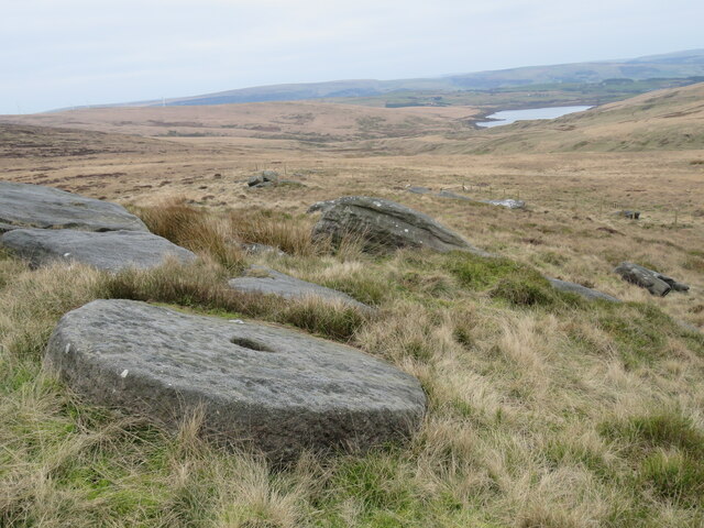
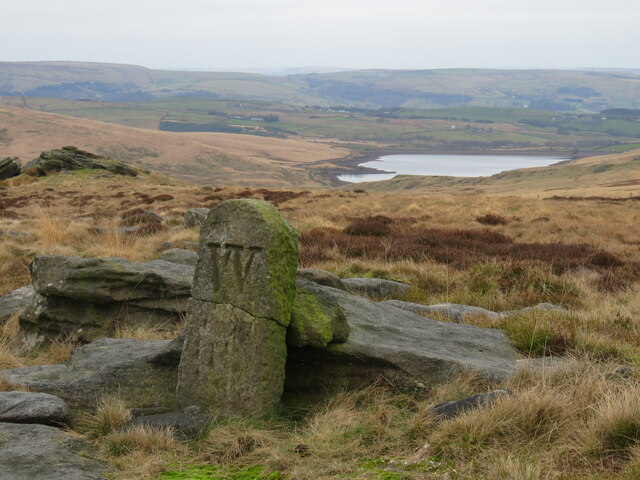
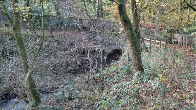
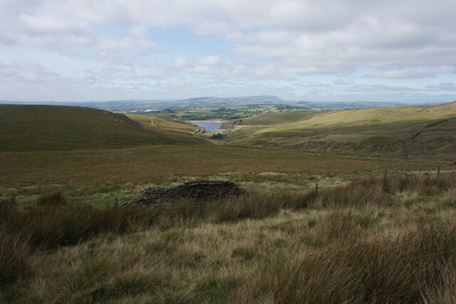
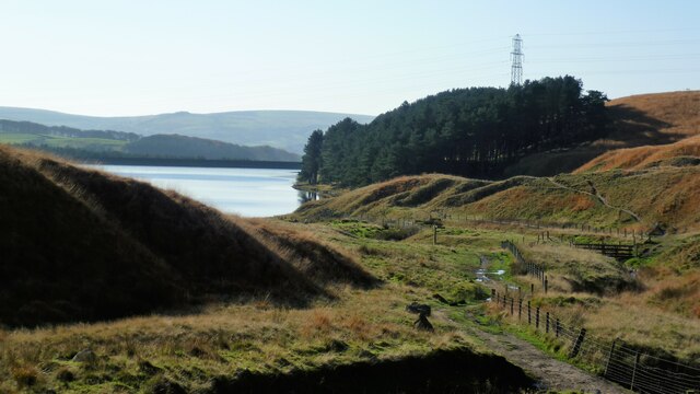
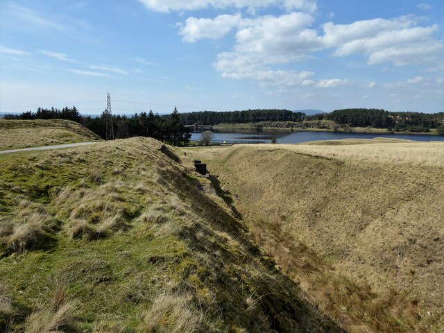
Cant Clough Reservoir, located in Lancashire, is a picturesque freshwater lake nestled amidst the rolling hills of the West Pennine Moors. With an area spanning approximately 22 acres, it serves as a vital water source for the surrounding area. The reservoir was constructed in the early 20th century to meet the growing demand for water in the region.
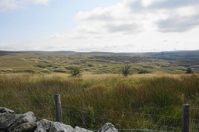
The reservoir is surrounded by a lush green landscape, making it an idyllic spot for nature enthusiasts and outdoor lovers. The tranquil waters of Cant Clough Reservoir are home to a variety of freshwater fish species, including brown trout and perch, attracting anglers throughout the year. The lake also provides a habitat for various bird species, making it a popular destination for birdwatchers.
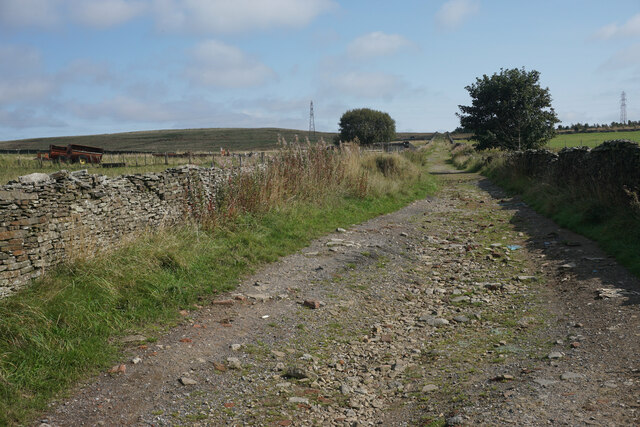
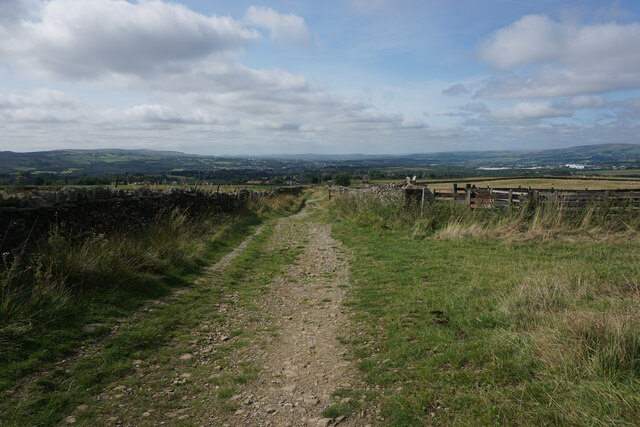
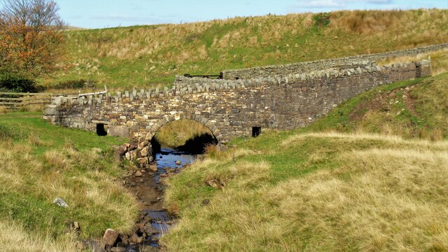
Surrounded by a network of walking trails, Cant Clough Reservoir offers visitors an opportunity to explore the surrounding natural beauty. The paths meander through woodlands, alongside the water's edge, and up the nearby hills, providing breathtaking views of the reservoir and the surrounding countryside.
The reservoir is also a popular spot for recreational activities such as sailing, canoeing, and kayaking. Its calm waters make it an ideal location for beginners and experienced water enthusiasts alike.
Cant Clough Reservoir, with its serene atmosphere and stunning natural surroundings, offers a peaceful retreat for visitors seeking to connect with nature and enjoy outdoor pursuits. Whether it's fishing, birdwatching, or simply enjoying a leisurely stroll, this Lancashire gem has something to offer for everyone.
If you have any feedback on the listing, please let us know in the comments section below.
Cant Clough Reservoir Images
Images are sourced within 2km of 53.774045/-2.1577484 or Grid Reference SD8930. Thanks to Geograph Open Source API. All images are credited.


Cant Clough Reservoir is located at Grid Ref: SD8930 (Lat: 53.774045, Lng: -2.1577484)
Administrative County: Lancashire
District: Burnley
Police Authority: Lancashire
What 3 Words
///edge.rotation.ownership. Near Cornholme, West Yorkshire
Nearby Locations
Related Wikis

Worsthorne-with-Hurstwood
Worsthorne-with-Hurstwood is a civil parish in the Borough of Burnley, in Lancashire, England. Situated on the eastern outskirts of Burnley, in 2011 it...

Hurstwood
Hurstwood is a rural hamlet on the eastern outskirts of Burnley in Lancashire, England. It is in the civil parish of Worsthorne-with-Hurstwood and the...

Fother Royd Wood
Fother Royd Wood is a woodland in Lancashire, England, near Worsthorne. It covers a total area of 1.03 hectares (2.55 acres). It is owned and managed by...
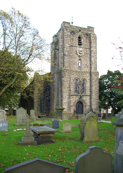
St John the Evangelist's Church, Worsthorne
St John the Evangelist's Church is in Church Square in the village of Worsthorne, Lancashire, England. It is an active Anglican parish church in the deanery...

Worsthorne
Worsthorne is a rural village on the eastern outskirts of Burnley in Lancashire, England. It is in the civil parish of Worsthorne-with-Hurstwood and the...

Coal Clough Wind Farm
Coal Clough Wind Farm is one of the oldest onshore wind farms in England. The wind farm, which was built for Scottish Power, produced electricity from...

Holme Hall, Cliviger
Holme Hall (or The Holme) is a Grade II* listed manor house in Cliviger near Burnley, in Lancashire, England. The house dates back to at least the 15th...

Church of St John the Divine, Holme Chapel
The Church of St John the Divine is in Burnley Road, Holme Chapel, a village in the civil parish of Cliviger, near Burnley, Lancashire, England. It is...
Nearby Amenities
Located within 500m of 53.774045,-2.1577484Have you been to Cant Clough Reservoir?
Leave your review of Cant Clough Reservoir below (or comments, questions and feedback).