Sandy Holes
Lake, Pool, Pond, Freshwater Marsh in Northumberland
England
Sandy Holes

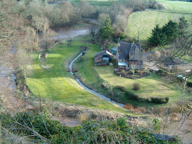
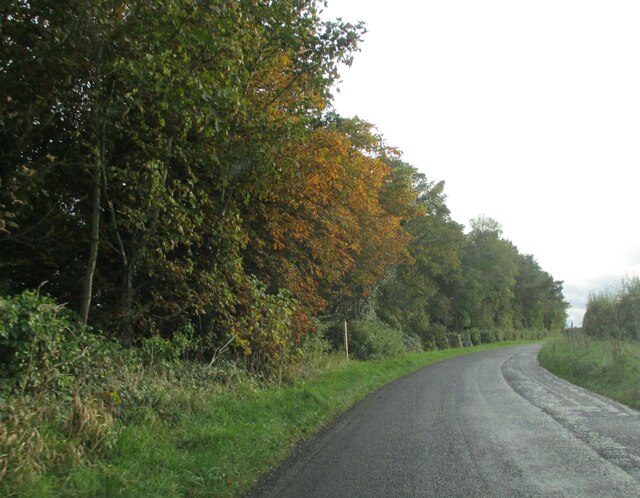
Sandy Holes is a picturesque freshwater marsh located in the county of Northumberland, England. Nestled amidst rolling hills and lush greenery, this natural marvel is known for its tranquil lake, beautiful pool, and serene pond. Spread across a sprawling area, Sandy Holes offers a delightful escape into nature's embrace.
The lake at Sandy Holes is a stunning expanse of clear freshwater, shimmering in the sunlight. It is home to a variety of aquatic life, including fish, waterfowl, and amphibians. Visitors can often spot graceful swans gliding across the lake's surface, while ducks and geese paddle along the shores. The lake provides ample opportunities for boating, fishing, and leisurely walks along its banks.
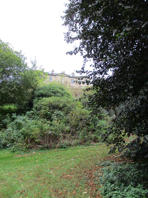
Adjacent to the lake is a serene pool, offering a calm oasis for those seeking a peaceful retreat. Surrounded by vibrant vegetation and gentle reeds, the pool is a haven for birdwatchers, with numerous species of birds calling it home. Visitors can sit on the pool's banks, enjoying the soothing sounds of nature and observing the diverse wildlife.
Sandy Holes also boasts a picturesque pond, a hidden gem within the marshland. The pond is nestled among towering trees and vibrant wildflowers, creating a breathtaking sight. It is an ideal spot for relaxation, with benches placed strategically to offer visitors a chance to immerse themselves in the tranquility of the surroundings.
The freshwater marsh at Sandy Holes is teeming with life, providing a vibrant ecosystem for various plants and animals. The marshland is a rich habitat for numerous species of wildlife, including water-loving mammals, reptiles, and insects. It is a paradise for nature enthusiasts and photographers, offering endless opportunities to capture the beauty of the marsh's unique flora and fauna.
Overall, Sandy Holes in Northumberland is a hidden gem, showcasing the diverse beauty of freshwater ecosystems. Whether one seeks a peaceful stroll, a relaxing boat ride, or a chance to observe wildlife in their natural habitat
If you have any feedback on the listing, please let us know in the comments section below.
Sandy Holes Images
Images are sourced within 2km of 55.67921/-2.1826079 or Grid Reference NT8842. Thanks to Geograph Open Source API. All images are credited.


Sandy Holes is located at Grid Ref: NT8842 (Lat: 55.67921, Lng: -2.1826079)
Unitary Authority: Northumberland
Police Authority: Northumbria
What 3 Words
///reinforce.promoting.jogged. Near Coldstream, Scottish Borders
Nearby Locations
Related Wikis

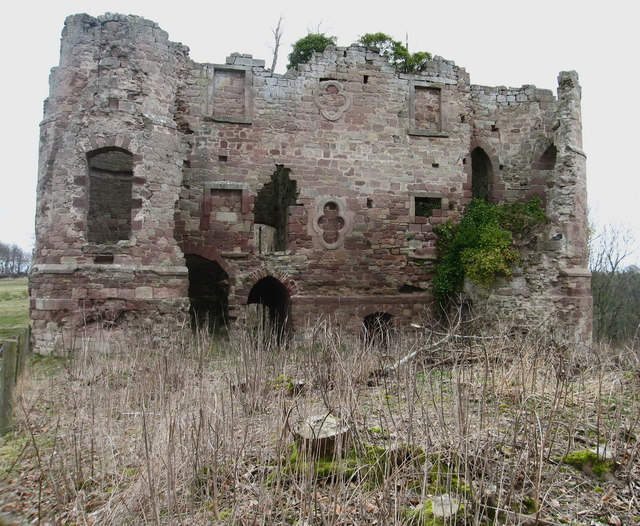
Twizell Castle
Twizell Castle (also spelt Twizel) is a Grade II* listed building and a Scheduled Ancient Monument which stands on a bend of the River Till at Tillmouth...

Twizell railway station
Twizell railway station served the historic village of Twizell, Northumberland, England, from 1861 to 1955 on the Kelso Branch. == History == The station...
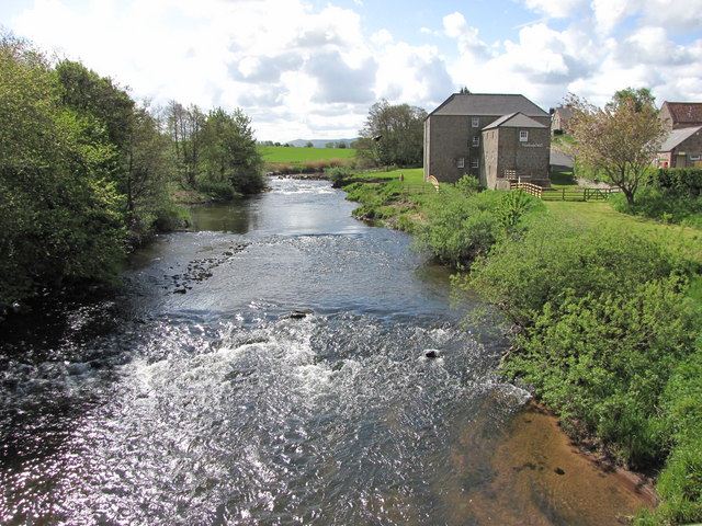
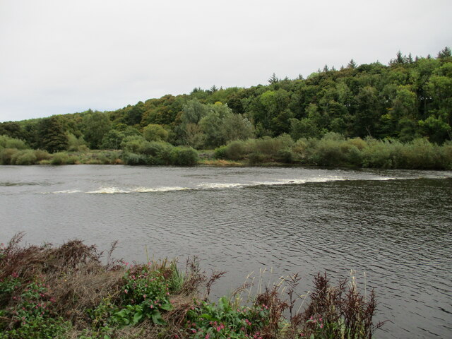
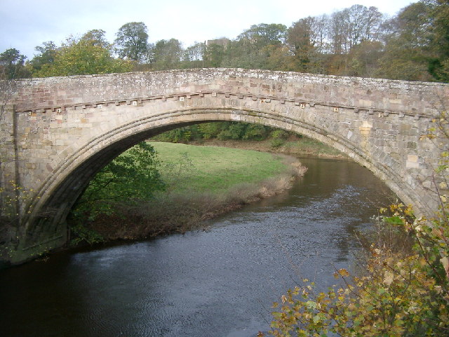
River Till, Northumberland
The River Till is a river of north-eastern Northumberland. It is a tributary of the River Tweed, of which it is the only major tributary to flow wholly...

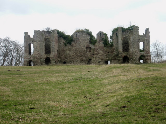
Heaton Castle
Heaton Castle (anciently Heton) in the parish of Cornhill-on-Tweed, Northumberland, England, is a ruined historic castle near the Scottish border. It is...

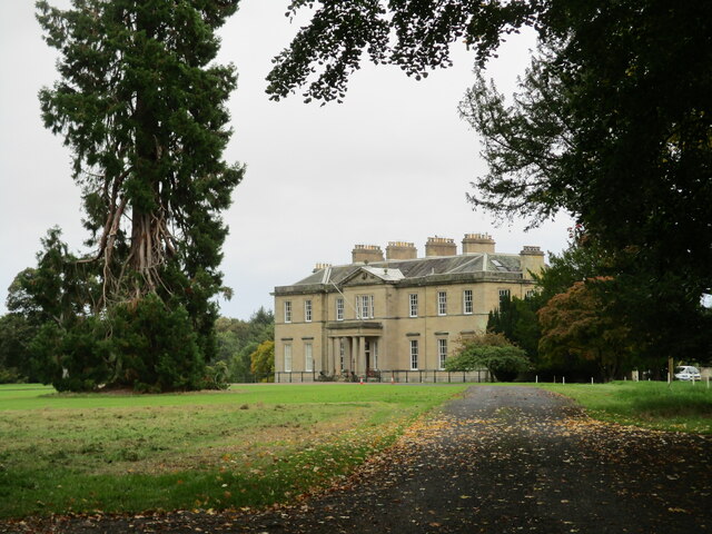
Pallinsburn House
Pallinsburn House is an 18th-century country house situated at Ford, Northumberland. It is a Grade II* listed building. The house was built about 1763...
Coldstream railway station
Coldstream railway station served the town of Coldstream in Berwickshire, Scotland although the station was across the River Tweed in Northumberland, England...
Cornhill-on-Tweed
Cornhill-on-Tweed is a small village and civil parish in Northumberland, England about 1 mile (1.6 km) to the east of Coldstream, Scotland. The hamlets...
Ladykirk, Scottish Borders
Ladykirk is a village on the B6470 in the Scottish Borders area of Scotland, and the former Berwickshire, just north of the River Tweed and the Anglo...
Nearby Amenities
Located within 500m of 55.67921,-2.1826079Have you been to Sandy Holes?
Leave your review of Sandy Holes below (or comments, questions and feedback).