Pirton Pool

Lake, Pool, Pond, Freshwater Marsh in Worcestershire Wychavon

England

Pirton Pool

Netting over a hedge at Kerswell Green This curious netting appeared over this hedge about a month ago, an internet search has revealed this is likely to stop birds nesting before the hedge is grubbed out to make an entrance.  

Soon after work began on building a sewage treatment works. <a href="https://www.geograph.org.uk/photo/4093553">SO8646 : Kerswell Green sewage treatment works</a>
Netting over a hedge at Kerswell Green Credit: Philip Halling

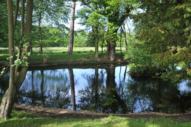
Pirton Pool, located in Worcestershire, is a picturesque freshwater marsh that serves as a haven for wildlife and a popular recreational spot for locals and tourists alike. Spanning approximately 2 hectares, the pool is nestled within the charming village of Pirton, offering visitors a tranquil and natural retreat.

The pool itself is a shallow body of water, characterized by its calm and crystal-clear nature. It is fed by a nearby stream, ensuring a constant flow of fresh water throughout the year. Surrounding the pool, a diverse range of plant life thrives, including reed beds, water lilies, and various aquatic grasses, creating a vibrant and ecologically significant ecosystem.

The pool's unique environment provides a habitat for a wide array of wildlife species, attracting birdwatchers and nature enthusiasts from far and wide. It is not uncommon to spot a variety of water birds, such as kingfishers, herons, and mallards, gracefully gliding across the water's surface. Additionally, the pool is home to numerous fish species, including perch and roach, making it a favorite spot for fishing enthusiasts.

For visitors seeking relaxation and tranquility, Pirton Pool offers picturesque views, shaded seating areas, and well-maintained footpaths that wind their way around the pool. The pool's natural beauty and peaceful ambiance make it an ideal location for picnics, leisurely walks, and photography.

Pirton Pool, Worcestershire, is a hidden gem that showcases the beauty and biodiversity of freshwater habitats. With its idyllic setting and abundant wildlife, it continues to captivate the hearts of both nature lovers and those seeking respite from their busy lives.

If you have any feedback on the listing, please let us know in the comments section below.
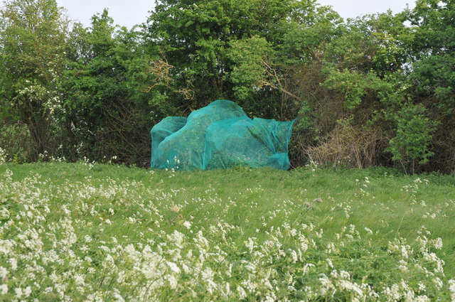
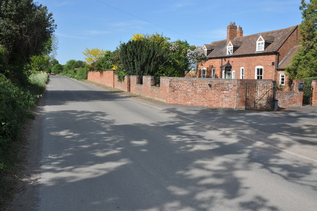
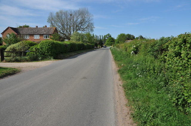
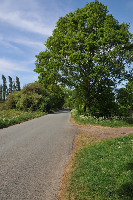
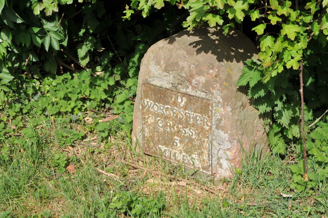
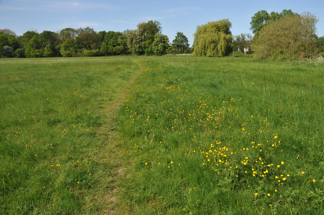
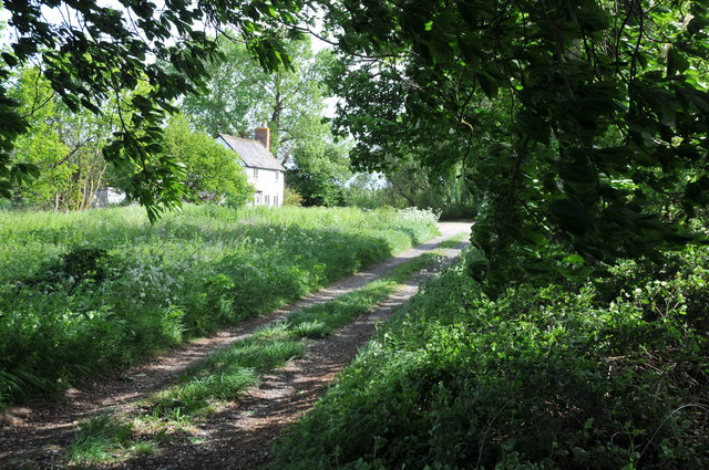
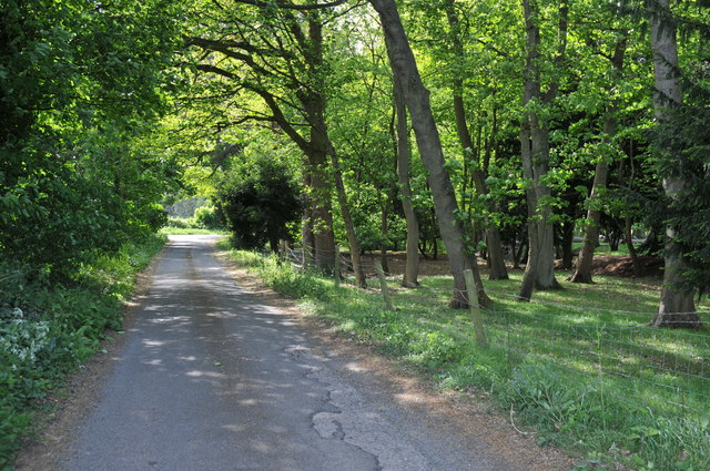
Pirton Pool Images

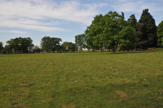
Images are sourced within 2km of 52.123544/-2.1840528 or Grid Reference SO8747. Thanks to Geograph Open Source API. All images are credited.

Netting over a hedge at Kerswell Green This curious netting appeared over this hedge about a month ago, an internet search has revealed this is likely to stop birds nesting before the hedge is grubbed out to make an entrance.  

Soon after work began on building a sewage treatment works. <a href="https://www.geograph.org.uk/photo/4093553">SO8646 : Kerswell Green sewage treatment works</a>
Netting over a hedge at Kerswell Green
This curious netting appeared over this hedge about a month ago, an internet search has revealed this is likely to stop birds nesting before the hedge is grubbed out to make an entrance. Soon after work began on building a sewage treatment works. SO8646 : Kerswell Green sewage treatment works
Netting over a hedge at Kerswell Green This curious netting appeared over this hedge about a month ago, an internet search has revealed this is likely to stop birds nesting before the hedge is grubbed out to make an entrance.
Netting over a hedge at Kerswell Green
This curious netting appeared over this hedge about a month ago, an internet search has revealed this is likely to stop birds nesting before the hedge is grubbed out to make an entrance.
Cottages at Kerswell Green Unfortunately the proximity and noise of the nearby traffic on the M5 motorway detracts from the rural scene.
Cottages at Kerswell Green
Unfortunately the proximity and noise of the nearby traffic on the M5 motorway detracts from the rural scene.
Road through Kerswell Green Cottage beside the road through Kerswell Green.
Road through Kerswell Green
Cottage beside the road through Kerswell Green.
Road through Kerswell Green
Road out of Kerswell Green Country road leaving the north end of the small hamlet of Kerswell Green near Kempsey.
Road out of Kerswell Green
Country road leaving the north end of the small hamlet of Kerswell Green near Kempsey.
Milestone in Kerswell Green Milestone on the roadside in Kerswell Green indicating it is 6 miles to Worcester Cross.
Milestone in Kerswell Green
Milestone on the roadside in Kerswell Green indicating it is 6 miles to Worcester Cross.
Normoor Common, Kerswell Green Normoor Common small piece of common land at Kerswell Green.
Normoor Common, Kerswell Green
Normoor Common small piece of common land at Kerswell Green.
Cottage on Normoor Common Cottage overlooking Normoor Common near Kerswell Green.
Cottage on Normoor Common
Cottage overlooking Normoor Common near Kerswell Green.
Road to Park Farm This is a no through road giving access to Park Farm which is on the other side of the M5 motorway.
Road to Park Farm
This is a no through road giving access to Park Farm which is on the other side of the M5 motorway.
Pond at Kerswell Green This small pond is beside a sharp bend in the road to the north of Kerswell Green.
Pond at Kerswell Green
This small pond is beside a sharp bend in the road to the north of Kerswell Green.
Traffic on the M5 motorway Traffic travelling north on the M5 motorway to the south of Worcester viewed from the footpath adjacent to the road.
Traffic on the M5 motorway
Traffic travelling north on the M5 motorway to the south of Worcester viewed from the footpath adjacent to the road.
The Malvern Hills viewed from the east The Malvern Hills viewed from the east near the M5 motorway above the village of Kempsey.  The grass in the foreground is short because it is being grown to produce lawn turf.
The Malvern Hills viewed from the east
The Malvern Hills viewed from the east near the M5 motorway above the village of Kempsey. The grass in the foreground is short because it is being grown to produce lawn turf.
Road junction at Napleton
Trees in a field near The Nash Trees in land which appears as if it were originally parkland to the west of the Jacobean house, The Nash.
Trees in a field near The Nash
Trees in land which appears as if it were originally parkland to the west of the Jacobean house, The Nash.
Rolled soil, Kerswell Green The soil in this field has been rolled in preparation of seeding lawn turf.
Rolled soil, Kerswell Green
The soil in this field has been rolled in preparation of seeding lawn turf.
Field prepared for growing lawn turf This field near Kerswell Green has been rolled and prepared for seed to grow lawn turf.
Field prepared for growing lawn turf
This field near Kerswell Green has been rolled and prepared for seed to grow lawn turf.
Tree in a ploughed field This lime tree is in the middle of a field which has been seeded with grass seed to grow lawn turf.
Tree in a ploughed field
This lime tree is in the middle of a field which has been seeded with grass seed to grow lawn turf.
Show me another place!

Pirton Pool is located at Grid Ref: SO8747 (Lat: 52.123544, Lng: -2.1840528)

Administrative County: Worcestershire

District: Wychavon

Police Authority: West Mercia

What 3 Words

///commended.punk.serve. Near Kempsey, Worcestershire

Nearby Locations

Pool Covert Pirton Pool

Related Wikis

Pirton, Worcestershire

Pirton is a small village in the English county of Worcestershire. The village has been occupied since at least 1086, when Domesday listed the village...

Kerswell Green

Kerswell Green is a village in Worcestershire, England.

Wadborough railway station

Wadborough railway station was located in Wadborough, Worcestershire. It opened in 1841 and closed in January 1965. It was situated to the west on the...

High Green, Worcestershire

High Green is a village in Worcestershire, England.

Nearby Amenities

Located within 500m of 52.123544,-2.1840528
Bus Stop
Pirton- Phone Box
Bus: yes
Naptan AtcoCode: 2000G065900
Naptan Bearing: SW
Naptan CommonName: Pirton- Phone Box
Naptan Indicator: Adj
Naptan Landmark: Parish Notice Board
Naptan NaptanCode: wocdtdwg
Naptan Street: Worcester Road / Hall Road
Naptan Verified: no
Public Transport: platform
Source: naptan_import
Lat/Long: 52.1250656/-2.1776827
Pirton Grange-Gate
Naptan AtcoCode: 2000G212700
Naptan Bearing: SW
Naptan BusStopType: CUS
Naptan CommonName: Pirton Grange-Gate
Naptan Indicator: Adj
Naptan Landmark: The Grange
Naptan NaptanCode: wocgamgw
Naptan Street: Worcester Road
Naptan Verified: no
Source: naptan_import
Lat/Long: 52.1235446/-2.1786845
Pirton Phone Box- Worcester Road
Naptan AtcoCode: 2000G323297
Naptan Bearing: NE
Naptan BusStopType: CUS
Naptan CommonName: Pirton Phone Box- Worcester Road
Naptan Indicator: opp
Naptan Landmark: Pirton Parish Notice Board
Naptan NaptanCode: wocdtwdm
Naptan Street: Worcester Road
Naptan Verified: no
Source: naptan_import
Lat/Long: 52.1250742/-2.1779602
Pirton- The Grange
Naptan AtcoCode: 2000G323298
Naptan Bearing: NE
Naptan BusStopType: CUS
Naptan CommonName: Pirton- The Grange
Naptan Indicator: opp
Naptan Landmark: Pirton- The Grange
Naptan NaptanCode: wocdtwdp
Naptan Street: Worcester Road
Naptan Verified: no
Source: naptan_import
Lat/Long: 52.1235982/-2.1789038
Bench
Lat/Long: 52.1250033/-2.1777162
Board Type: notice
Information: board
Tourism: information
Lat/Long: 52.1250201/-2.1776815
Board Type: notice
Information: board
Tourism: information
Lat/Long: 52.1250705/-2.1777819
Public Bookcase
Booth: K6
Covered: booth
Disused Amenity: telephone
Man Made: telephone_box
Note: also contains foodbank
Old Phone: +44 1905 820211
Public Bookcase Type: phone_box
Lat/Long: 52.1250311/-2.1776477
Barrier: stile
Foot: yes
Lat/Long: 52.1257221/-2.1777133
Barrier: kissing_gate
Foot: yes
Lat/Long: 52.1212645/-2.1821481
Barrier: stile
Foot: yes
Lat/Long: 52.1258202/-2.1784167
Barrier: kissing_gate
Foot: yes
Lat/Long: 52.1214997/-2.1808313
Power: pole
Transformer: distribution
Lat/Long: 52.1207958/-2.1801424
Power: pole
Lat/Long: 52.1203033/-2.1792412
Pirton South
Power: pole
Transformer: distribution
Voltage Primary: 11000
Lat/Long: 52.123928/-2.177601
The data included in this document is from www.openstreetmap.org. The data is made available under ODbL.

Have you been to Pirton Pool?

Leave your review of Pirton Pool below (or comments, questions and feedback).