Belvide Reservoir
Lake, Pool, Pond, Freshwater Marsh in Staffordshire South Staffordshire
England
Belvide Reservoir
Belvide Reservoir is a large freshwater body located in Staffordshire, England. Covering an area of approximately 100 hectares, it serves multiple purposes, including water supply, flood control, and recreational activities. The reservoir was created in the late 19th century by the South Staffordshire Water Company to meet the increasing demand for clean water in the region.
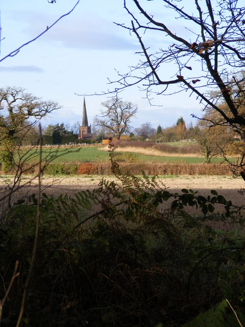
Surrounded by picturesque countryside, Belvide Reservoir offers a serene and tranquil environment for visitors. The reservoir is predominantly used for fishing, attracting anglers from near and far. It is known for its diverse fish population, including species such as pike, perch, roach, and bream. Fishing platforms and designated fishing areas are available to ensure a pleasant experience for anglers.
In addition to fishing, Belvide Reservoir is a haven for birdwatchers and nature enthusiasts. The reservoir and its surrounding wetland areas provide a perfect habitat for a wide range of bird species, including waterfowl, waders, and migratory birds. Bird hides are strategically placed around the reservoir, allowing visitors to observe and photograph birds in their natural habitat.
The reservoir also plays a crucial role in flood control, particularly during periods of heavy rainfall. It acts as a storage basin, retaining excess water and releasing it slowly to prevent downstream flooding. This function contributes to the overall water management system in Staffordshire.
Overall, Belvide Reservoir offers a diverse range of recreational opportunities, making it a popular destination for fishing, birdwatching, and nature appreciation. Its scenic beauty and ecological significance make it a valuable asset to the Staffordshire region.
If you have any feedback on the listing, please let us know in the comments section below.
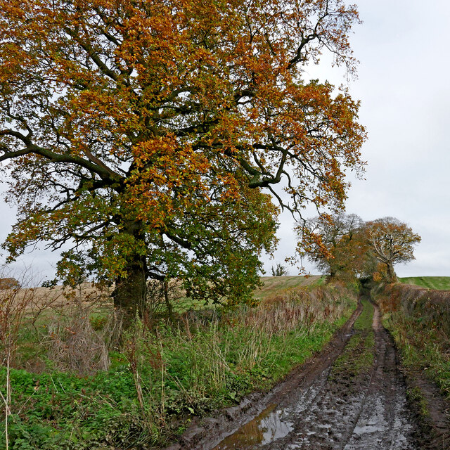
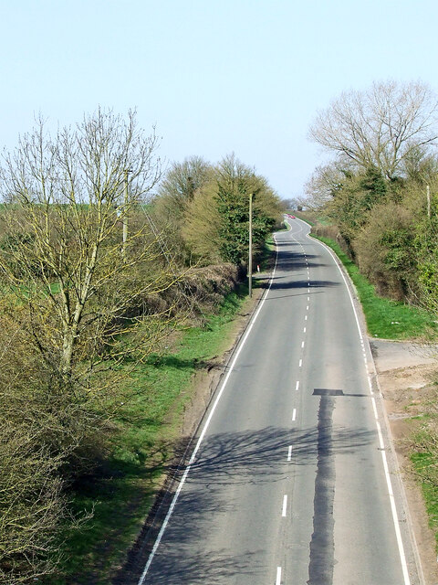
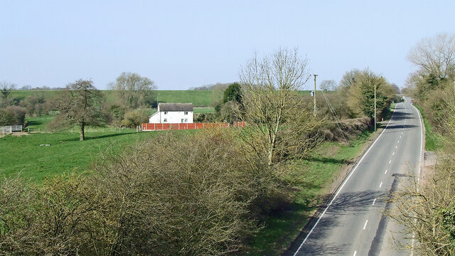
Belvide Reservoir Images
Images are sourced within 2km of 52.689886/-2.2045815 or Grid Reference SJ8610. Thanks to Geograph Open Source API. All images are credited.

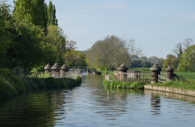
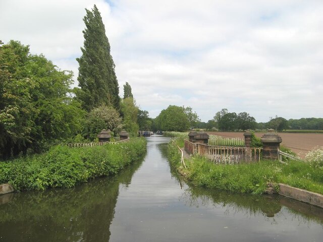
![Stretton Aqueduct, Shropshire Union Canal The text on the iron trough aqueduct proclaims this to be the Birmingham and Liverpool [Junction] Canal, which ran from Nantwich to Autherley Junction outside Wolverhampton and later became part of the Shropshire Union system. The name of the engineer Thomas Telford is below. Telford also engineered the turnpike road that passes beneath it, the A5 London to Holyhead road.](https://s1.geograph.org.uk/geophotos/07/39/45/7394513_0848dcc4.jpg)
![Stretton Aqueduct, Shropshire Union Canal (detail) The text on the iron trough aqueduct proclaims this to be the Birmingham and Liverpool [Junction] Canal, which ran from Nantwich to Autherley Junction outside Wolverhampton and later became part of the Shropshire Union system. The name of the engineer Thomas Telford is below. Telford also engineered the turnpike road that passes beneath it, the A5 London to Holyhead road.](https://s2.geograph.org.uk/geophotos/07/39/45/7394514_344d265d.jpg)
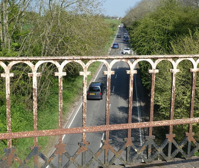
![Watling Street [A5], from Stretton Aqueduct The aqueduct railings could do with a repaint. The former Roman road is also a civil parish boundary here - Brewood &amp; Coven to the left/south, Lapley, Stretton &amp; Wheaton Aston to the right/north.](https://s2.geograph.org.uk/geophotos/07/51/37/7513782_52dce46e.jpg)
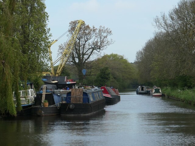
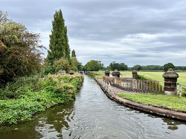
![Lapley Wood bridge [no 17], reflected Looking north. The bridge now carries the Staffordshire Way over the Shropshire Union canal.](https://s3.geograph.org.uk/geophotos/07/51/37/7513787_ae854126.jpg)


Belvide Reservoir is located at Grid Ref: SJ8610 (Lat: 52.689886, Lng: -2.2045815)
Administrative County: Staffordshire
District: South Staffordshire
Police Authority: Staffordshire
What 3 Words
///adopting.beakers.passions. Near Brewood, Staffordshire
Nearby Locations
Related Wikis

Belvide Reservoir
Belvide Reservoir is a reservoir in South Staffordshire, England. It was built in 1833 to supply the Birmingham and Liverpool Junction Canal, and has been...

Stretton Aqueduct
Stretton Aqueduct is a short cast iron canal aqueduct between Stretton and Brewood, and near to Belvide Reservoir, in south Staffordshire, England. Designed...

Black Ladies Priory
Black Ladies Priory was a house of Benedictine nuns, located about 4 km west of Brewood in Staffordshire, on the northern edge of the hamlet of Kiddemore...

Lapley, Stretton and Wheaton Aston
Lapley, Stretton and Wheaton Aston is a civil parish in the South Staffordshire district, in the county of Staffordshire, England. The population of the...

St Dominic's Grammar School
St Dominic's Grammar School (formerly St Dominic's Brewood and St Dominic's High School For Girls and boys ) is a private day school for girls and boys...
Brewood Grammar School
Brewood Grammar School was a boys' school in the village of Brewood in South Staffordshire, England. Founded in the mid 15th century by the Bishop of Lichfield...
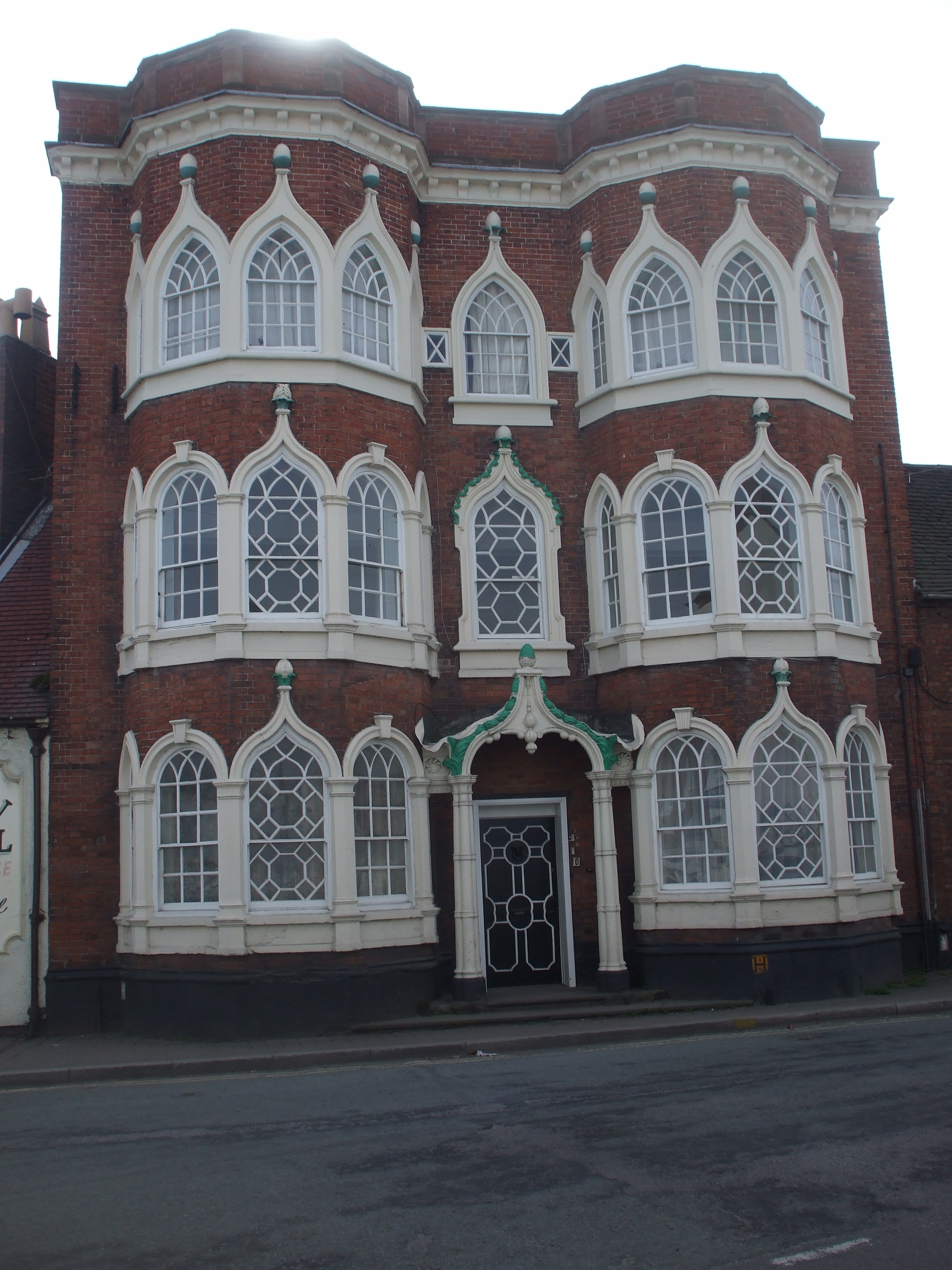
Speedwell Castle
Speedwell Castle is a mid-18th-century house at the centre of Brewood, Staffordshire, between Wolverhampton and Stafford. Described by Pevsner as a "peach...
Brewood
Brewood is an ancient market town in the civil parish of Brewood and Coven, in the South Staffordshire district, in the county of Staffordshire, England...
Nearby Amenities
Located within 500m of 52.689886,-2.2045815Have you been to Belvide Reservoir?
Leave your review of Belvide Reservoir below (or comments, questions and feedback).