Dawes Pond
Lake, Pool, Pond, Freshwater Marsh in Wiltshire
England
Dawes Pond

Dawes Pond, located in Wiltshire, England, is a picturesque freshwater pond nestled amidst serene surroundings. Spread across an area of approximately 2 acres, this natural water body is a haven for wildlife and a popular spot for nature enthusiasts.
The pond itself is relatively shallow, with an average depth of around 2 meters, and is surrounded by lush vegetation, including reeds, rushes, and water lilies. It serves as a vital habitat for various aquatic plants and animals, providing a home to a diverse range of species such as frogs, newts, dragonflies, and waterfowl. The tranquil ambiance created by the gentle ripples on the water's surface further enhances the natural beauty of the site.
Dawes Pond is a tranquil spot where visitors can indulge in activities such as birdwatching, photography, or simply enjoying a peaceful stroll along the water's edge. The surrounding area is well-maintained, with designated paths and seating areas for visitors to relax and take in the sights and sounds of nature.
Due to its ecological significance, the pond is also monitored and managed by local conservation groups, ensuring the preservation of this important freshwater ecosystem. Efforts are made to maintain water quality, control invasive species, and protect the native flora and fauna that call the pond home.
Overall, Dawes Pond offers a serene and idyllic setting, providing visitors with an opportunity to connect with nature and experience the beauty of a freshwater marsh ecosystem in the heart of Wiltshire.
If you have any feedback on the listing, please let us know in the comments section below.
Dawes Pond Images
Images are sourced within 2km of 51.356125/-2.2015934 or Grid Reference ST8661. Thanks to Geograph Open Source API. All images are credited.


Dawes Pond is located at Grid Ref: ST8661 (Lat: 51.356125, Lng: -2.2015934)
Unitary Authority: Wiltshire
Police Authority: Wiltshire
What 3 Words
///messy.tasks.rescue. Near Holt, Wiltshire
Nearby Locations
Related Wikis

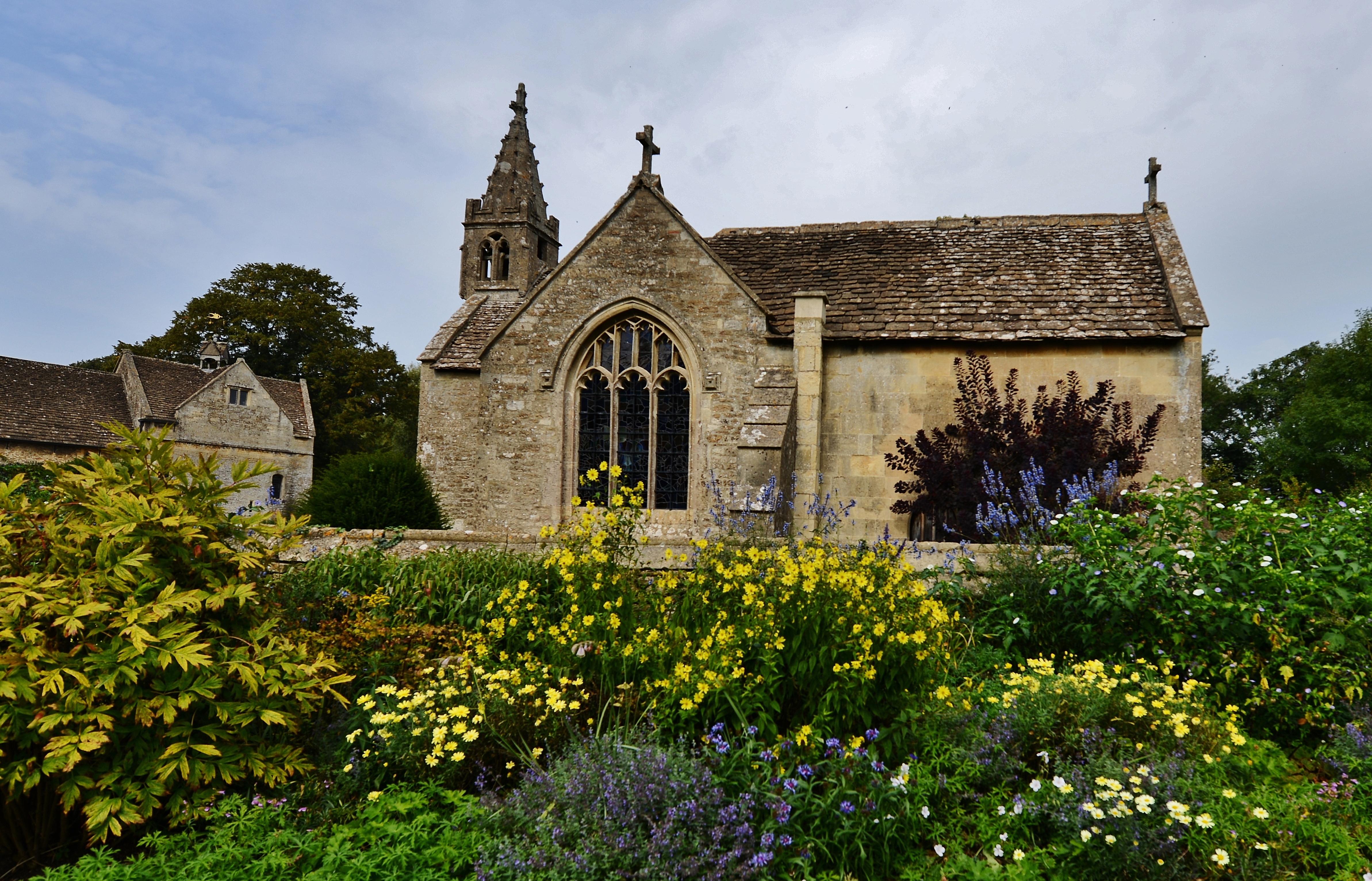
The Courts Garden
The Courts Garden is an English country garden in Holt, near Bradford on Avon, Wiltshire, England. The garden has been in the ownership of the National...

Holt, Wiltshire
Holt is a village and civil parish in the west of Wiltshire, England, about 2.5 miles (4 km) north-east of Bradford-on-Avon and 3 miles (5 km) south-west...

Staverton Mill
Staverton Mill is an historic woollen mill and now a cereal factory on the River Avon in the village of Staverton near Trowbridge, Wiltshire, England...
Holt Junction railway station
Holt Junction was a railway station which served the village of Holt, Wiltshire, England between 1861 and 1966. It stood on the Wessex Main Line at its...
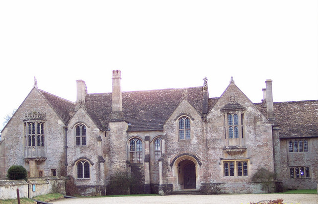
Great Chalfield Manor
Great Chalfield Manor is an English country house at Great Chalfield, about 2.5 miles (4 km) northeast of the town of Bradford on Avon in the west of the...
Great Chalfield
Great Chalfield, also sometimes called by its Latin name of Chalfield Magna, formerly East Chalfield and anciently Much Chaldefield, is a small village...

Beardwell
Beardwell is a farm and small hamlet in the parish of Atworth, Wiltshire, England.The name appears in the mid-fifteenth century Tropenell Cartulary as...

Staverton, Wiltshire
Staverton is a village and civil parish in the west of the English county of Wiltshire, about 1.75 miles (2.82 km) north of the centre of Trowbridge and...
Nearby Amenities
Located within 500m of 51.356125,-2.2015934Have you been to Dawes Pond?
Leave your review of Dawes Pond below (or comments, questions and feedback).