Brownber Tarn
Lake, Pool, Pond, Freshwater Marsh in Westmorland Eden
England
Brownber Tarn
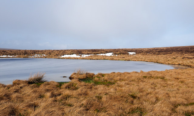
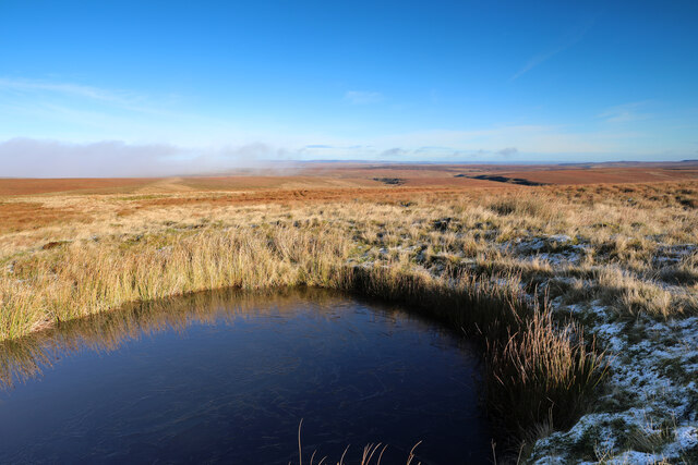
Brownber Tarn is a beautiful freshwater lake located in Westmorland, an area known for its stunning natural landscapes in the Lake District National Park, England. This tarn, also referred to as a pool or pond, is an exquisite example of the region's natural beauty.
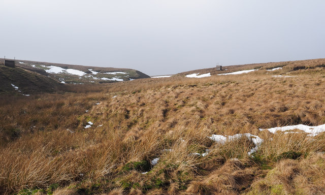
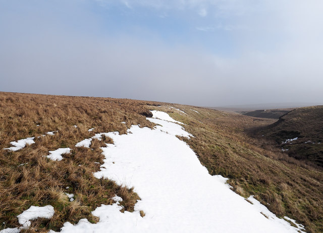
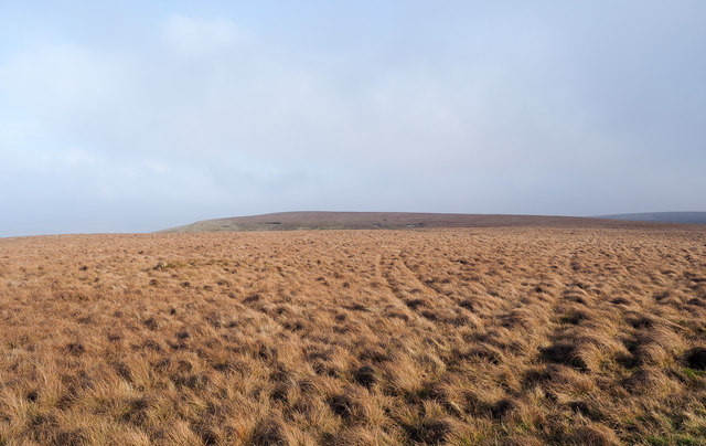
Covering an area of approximately 1.5 acres, Brownber Tarn is nestled amidst rolling hills and verdant meadows, creating a peaceful and idyllic setting. The tarn is surrounded by a mix of dense woodland and open grasslands, providing a diverse habitat for a wide range of flora and fauna.
The water in Brownber Tarn is crystal clear, reflecting the surrounding landscape and creating a mesmerizing sight. It is fed by natural springs and rainfall runoff, ensuring a constant flow of fresh water. The lake is relatively shallow, with an average depth of around 3 meters, making it an ideal habitat for various aquatic plants and animals.
The marshy areas surrounding the tarn are home to a variety of wetland plants, such as reeds, sedges, and water lilies, providing a crucial habitat for numerous bird species, insects, and amphibians. This freshwater marsh adds to the overall ecological diversity of the area.
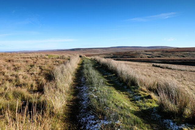
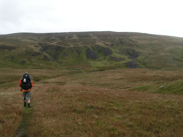
Due to its natural beauty and tranquil atmosphere, Brownber Tarn has become a popular spot for nature lovers, hikers, and birdwatchers. Visitors can enjoy leisurely walks around the tarn, taking in the breathtaking views and observing the abundant wildlife.
In summary, Brownber Tarn is a picturesque freshwater lake located in Westmorland, offering a serene and enchanting experience for those seeking to immerse themselves in the natural wonders of the Lake District National Park.
If you have any feedback on the listing, please let us know in the comments section below.
Brownber Tarn Images
Images are sourced within 2km of 54.455863/-2.2210418 or Grid Reference NY8506. Thanks to Geograph Open Source API. All images are credited.


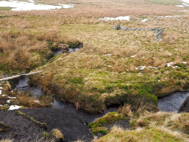


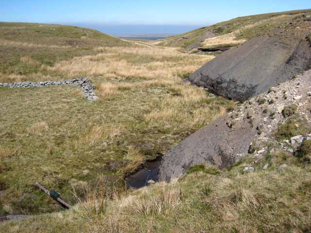
![Kaber Fell, Cumbria Looking west, towards Nine Standards [which are not visible at this resolution]. The stream is Potter Sike.](https://s0.geograph.org.uk/photos/00/74/007428_83ffa334.jpg)
Brownber Tarn is located at Grid Ref: NY8506 (Lat: 54.455863, Lng: -2.2210418)
Administrative County: Cumbria
District: Eden
Police Authority: Cumbria
What 3 Words
///cringes.showrooms.land. Near Kirkby Stephen, Cumbria
Nearby Locations
Related Wikis
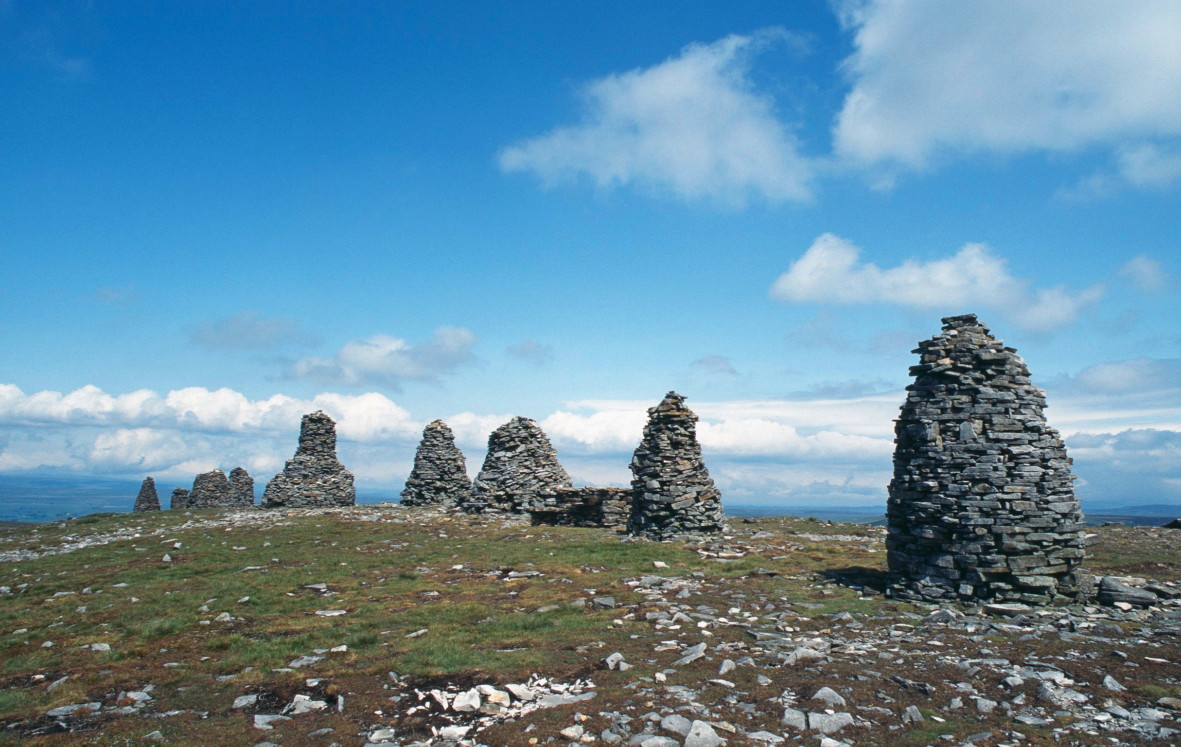
Nine Standards Rigg
Nine Standards Rigg is the summit of Hartley Fell in the Pennine Hills of England. It lies near the boundary between Cumbria and North Yorkshire, a few...

Tan Hill, North Yorkshire
Tan Hill (NY896067) is a high point on the Pennine Way in the Richmondshire district of North Yorkshire, England. It lies north of Keld in the civil parish...

Belah Viaduct
The Belah Viaduct was a railway viaduct on the South Durham and Lancashire Union Railway, crossing the River Belah, in Cumbria, England, about 1 mile...

Birkdale, North Yorkshire
Birkdale (sometimes written out as Birk Dale) is a dale in the Yorkshire Dales National Park, in North Yorkshire, England. It lies at the far western end...

Barras railway station
Barras railway station was situated on the South Durham & Lancashire Union Railway between Barnard Castle and Kirkby Stephen East. == History == The station...
West Stonesdale
West Stonesdale is a hamlet in the Yorkshire Dales, North Yorkshire, England. The secluded village is near Keld to the south, Tan Hill to the north and...

Barras, Cumbria
Barras is a hamlet close to the River Belah, about 4 miles (6 kilometres) south-east of Brough, Cumbria, England. Until the creation of the new county...

Wain Wath Force
Wain Wath Force is a waterfall on the River Swale in the Yorkshire Dales National Park, North Yorkshire, England. The falls are at grid reference NY883015...
Nearby Amenities
Located within 500m of 54.455863,-2.2210418Have you been to Brownber Tarn?
Leave your review of Brownber Tarn below (or comments, questions and feedback).