Leighton Pool

Lake, Pool, Pond, Freshwater Marsh in Staffordshire South Staffordshire

England

Leighton Pool

Barns at Leper House Farm Typical red brick outbuildings. The farm name suggests the site of a leper hospital associated with the nearby sulphurous Leper Well on Whitehouse Lane.
Barns at Leper House Farm Credit: John M

Leighton Pool, located in Staffordshire, is a serene freshwater lake nestled in the heart of the English countryside. Spanning over an area of approximately 10 hectares, this picturesque pool is a popular destination for nature enthusiasts, anglers, and those seeking a tranquil escape from the bustling city life.

Surrounded by lush greenery and woodland, Leighton Pool offers a diverse ecosystem teeming with wildlife and vegetation. The crystal-clear waters of the lake are home to various species of fish, including carp, tench, and perch, making it a haven for anglers of all skill levels.

The pool itself boasts a calm and peaceful atmosphere, perfect for leisurely walks or picnics along its banks. The surrounding area is dotted with designated picnic spots, benches, and walking trails, allowing visitors to fully immerse themselves in the natural beauty of the location.

Leighton Pool also features a freshwater marsh, which provides a habitat for an array of plant and animal species. The marshland is a breeding ground for numerous bird species, offering birdwatchers the opportunity to spot a variety of native and migrating birds throughout the year.

The pool is easily accessible, with ample parking available for visitors. Additionally, there are facilities on-site, including toilets and a small café, ensuring visitors have everything they need for a comfortable and enjoyable visit.

In summary, Leighton Pool in Staffordshire offers a tranquil and picturesque setting, showcasing the beauty of the English countryside. With its diverse wildlife, scenic surroundings, and recreational opportunities, it is a must-visit destination for nature lovers and those seeking a peaceful retreat.

If you have any feedback on the listing, please let us know in the comments section below.

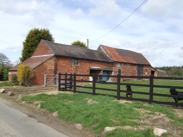
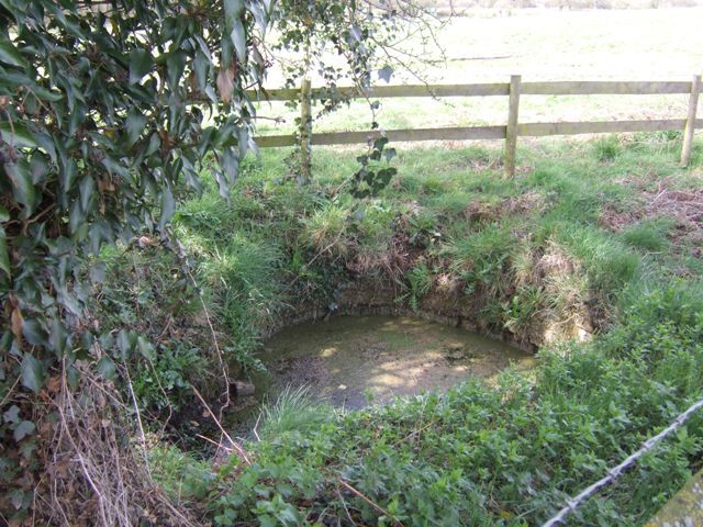
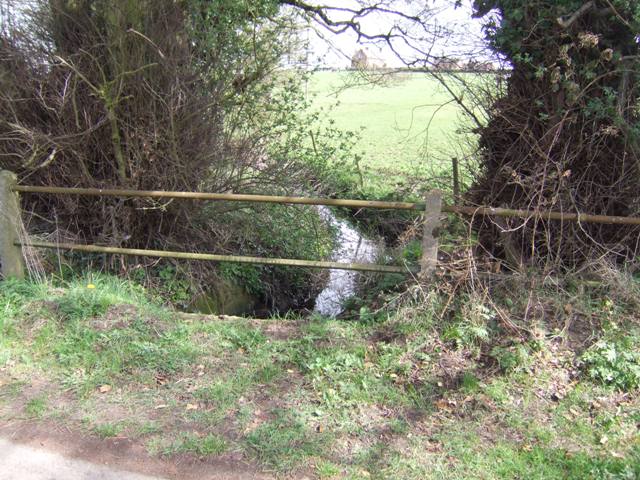
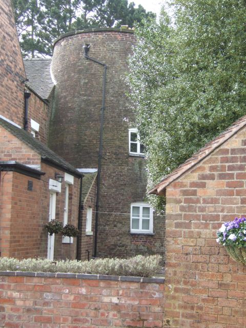
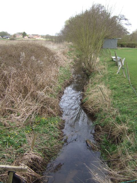
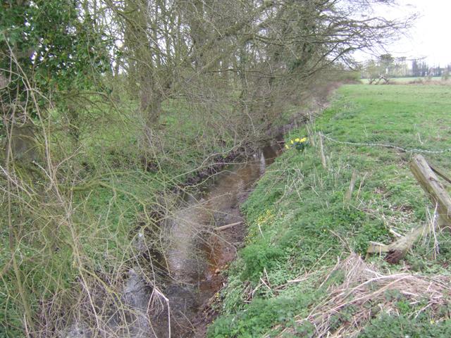
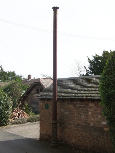
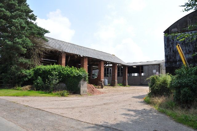
Leighton Pool Images

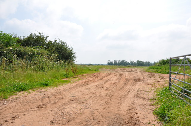
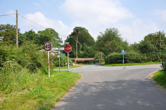
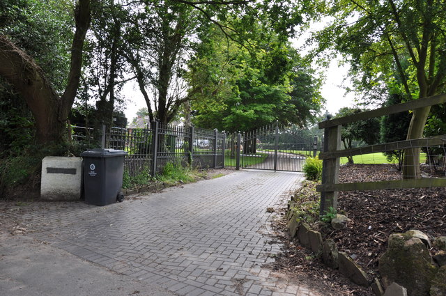
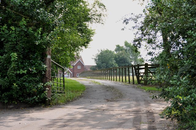
Images are sourced within 2km of 52.639133/-2.2130778 or Grid Reference SJ8504. Thanks to Geograph Open Source API. All images are credited.

Barns at Leper House Farm Typical red brick outbuildings. The farm name suggests the site of a leper hospital associated with the nearby sulphurous Leper Well on Whitehouse Lane.
Barns at Leper House Farm
Typical red brick outbuildings. The farm name suggests the site of a leper hospital associated with the nearby sulphurous Leper Well on Whitehouse Lane.
Lepers Well Ancient sulphurous well beside Whitehouse Lane. The well is Grade 2 listed.
Lepers Well
Ancient sulphurous well beside Whitehouse Lane. The well is Grade 2 listed.
Tributary of the Moat Brook Viewed upstream at Whitehouse Lane. The brook is fed from the Big Pool at Chillington Hall.
Tributary of the Moat Brook
Viewed upstream at Whitehouse Lane. The brook is fed from the Big Pool at Chillington Hall.
Codsall Mill The tower mill has been incorporated into Millfield House. Originally an 18th century mill with four sails, boat cap, weathervane and tailpole. Had ceased use by the 1880s.
Codsall Mill
The tower mill has been incorporated into Millfield House. Originally an 18th century mill with four sails, boat cap, weathervane and tailpole. Had ceased use by the 1880s.
Moat Brook downstream of Codsall footbridge The Moat Brook flows around the north side of Codsall and is a tributary of the River Penk.
Moat Brook downstream of Codsall footbridge
The Moat Brook flows around the north side of Codsall and is a tributary of the River Penk.
Moat Brook upstream of  Codsall footbridge The Moat Brook flows around the north side of Codsall and is a tributary of the River Penk.
Moat Brook upstream of Codsall footbridge
The Moat Brook flows around the north side of Codsall and is a tributary of the River Penk.
Sewer Vent Pipe Victorian stench pipe in Mill Lane.
Sewer Vent Pipe
Victorian stench pipe in Mill Lane.
M54 east just south of The Pool Power lines crossing road can be seen in the distance
M54 east just south of The Pool
Power lines crossing road can be seen in the distance
Driveway into Harriot's Hayes Farm
A sandy entrance into a field near Codsall Wood
Crossroads on the outskirts of Codsall Wood The road crossing the photo is Monarch's Way. This is reputed to be one of the roads King Charles II used on his way to Boscobel House after his defeat at Worcester.
Crossroads on the outskirts of Codsall Wood
The road crossing the photo is Monarch's Way. This is reputed to be one of the roads King Charles II used on his way to Boscobel House after his defeat at Worcester.
Entrance to "The Cottage"  in Whitehouse Lane
Entrance to "The Cottage" in Whitehouse Lane
Driveway to Pendrell Hall, near Codsall Wood
The entrance to Moors Farm, Hotel and B & B This farm has been extended into an Hotel and B & B.  link  <span class="nowrap"><a title="http://www.moorsfarmhotel.co.uk/about-us.php" rel="nofollow ugc noopener" href="http://www.moorsfarmhotel.co.uk/about-us.php">Link</a><img style="margin-left:2px;" alt="External link" title="External link - shift click to open in new window" src="https://s1.geograph.org.uk/img/external.png" width="10" height="10"/></span>
The entrance to Moors Farm, Hotel and B & B
This farm has been extended into an Hotel and B & B. link LinkExternal link
Very old Leper House Farm, reputed to have been a leper colony On nearby Moors Farm is the Lepers Well, a sulphur well which is reputed to cure all ills, including Leprosy. link
Very old Leper House Farm, reputed to have been a leper colony
On nearby Moors Farm is the Lepers Well, a sulphur well which is reputed to cure all ills, including Leprosy. link
Whitehouse Lane at Gunstone Some maps give Gunstone as being just up the road, but Google maps place it here.
Whitehouse Lane at Gunstone
Some maps give Gunstone as being just up the road, but Google maps place it here.
M54 entering Staffordshire The M54 is a 23 mile east-west motorway in Shropshire and Staffordshire. It is a two-lane dual carriageway for the majority of its length, with sections of three-lane.
The M54 spur connects the M6 motorway near Essington, Staffordshire with the A5 trunk road at Wellington, Shropshire. The motorway forms part of the route to North Wales, roughly following the path of the Roman Watling Street and the A5 north-westwards, towards the port of Holyhead.
M54 entering Staffordshire
The M54 is a 23 mile east-west motorway in Shropshire and Staffordshire. It is a two-lane dual carriageway for the majority of its length, with sections of three-lane. The M54 spur connects the M6 motorway near Essington, Staffordshire with the A5 trunk road at Wellington, Shropshire. The motorway forms part of the route to North Wales, roughly following the path of the Roman Watling Street and the A5 north-westwards, towards the port of Holyhead.
M54, Wood Lane Bridge The M54 is a 23 mile east-west motorway in Shropshire and Staffordshire. It is a two-lane dual carriageway for the majority of its length, with sections of three-lane.
The M54 spur connects the M6 motorway near Essington, Staffordshire with the A5 trunk road at Wellington, Shropshire. The motorway forms part of the route to North Wales, roughly following the path of the Roman Watling Street and the A5 north-westwards, towards the port of Holyhead.
M54, Wood Lane Bridge
The M54 is a 23 mile east-west motorway in Shropshire and Staffordshire. It is a two-lane dual carriageway for the majority of its length, with sections of three-lane. The M54 spur connects the M6 motorway near Essington, Staffordshire with the A5 trunk road at Wellington, Shropshire. The motorway forms part of the route to North Wales, roughly following the path of the Roman Watling Street and the A5 north-westwards, towards the port of Holyhead.
Show me another place!

Leighton Pool is located at Grid Ref: SJ8504 (Lat: 52.639133, Lng: -2.2130778)

Administrative County: Staffordshire

District: South Staffordshire

Police Authority: Staffordshire

What 3 Words

///cafe.smothered.lightly. Near Codsall, Staffordshire

Nearby Locations

Leighton Pool

Related Wikis

St Nicholas' Church, Codsall

St Nicholas’ Church, Codsall is a Grade II* listed parish church in the Church of England in Codsall == History == The doorway is Norman. The west tower...

Codsall railway station

Codsall railway station serves the village of Codsall in Staffordshire, England. == History == The original listed GWR footbridge, between the two platforms...

Gunstone

Gunstone is a hamlet in the South Staffordshire district of Staffordshire, England. It is situated north east of the village of Codsall. == Place name... ==

Codsall

Codsall is a large village in the South Staffordshire district of Staffordshire, England. It is situated 5 miles northwest of Wolverhampton and 13 miles...

Codsall Community High School

Codsall Community High School is a coeducational upper school and sixth form located in Codsall, Staffordshire, England.It is located in a large village...

South Staffordshire

South Staffordshire is a local government district in Staffordshire, England. The district lies to the north and west of the West Midlands county, bordering...

Chillington Hall

Chillington Hall is a Georgian country house near Brewood, Staffordshire, England, four miles northwest of Wolverhampton. It is the residence of the Giffard...

Birches Bridge

Birches Bridge is an area of Codsall, Staffordshire. It is situated to the northwest of Wolverhampton between Bilbrook and Codsall. == Name and origins... ==

Nearby Amenities

Located within 500m of 52.639133,-2.2130778
Leighton Pools
Leisure: fishing
Lat/Long: 52.6396234/-2.2124742
Power: tower
Source: Bing
Lat/Long: 52.6361499/-2.2127312
Power: tower
Source: Bing
Lat/Long: 52.6386123/-2.2095549
Power: tower
Source: Bing
Lat/Long: 52.6407504/-2.2066413
Post Box
Post Box Type: wall
Royal Cypher: EVIIR
Royal Cypher Wikidata: Q33102324
Lat/Long: 52.6347103/-2.2133565
Power: pole
Lat/Long: 52.6368583/-2.2106901
Power: pole
Lat/Long: 52.6372424/-2.2086141
Power: pole
Lat/Long: 52.6376038/-2.2067794
Power: pole
Lat/Long: 52.635767/-2.2165717
Power: pole
Lat/Long: 52.6390143/-2.2081989
Power: pole
Lat/Long: 52.6394584/-2.2076013
Power: pole
Lat/Long: 52.6399123/-2.206963
The data included in this document is from www.openstreetmap.org. The data is made available under ODbL.

Have you been to Leighton Pool?

Leave your review of Leighton Pool below (or comments, questions and feedback).