Blackcraig Pot

Lake, Pool, Pond, Freshwater Marsh in Aberdeenshire
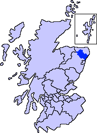
Scotland

Blackcraig Pot

Methlick New Cemetery Looking west over the new cemetery on the B9170 south of Methlick.
Methlick New Cemetery Credit: Scott Cormie

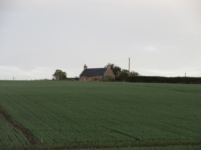
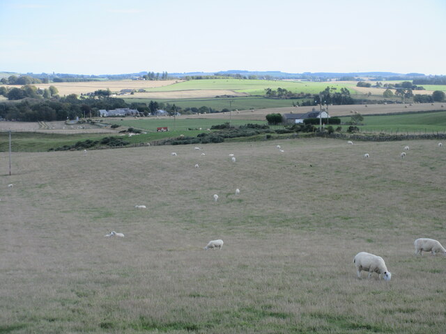
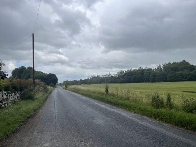
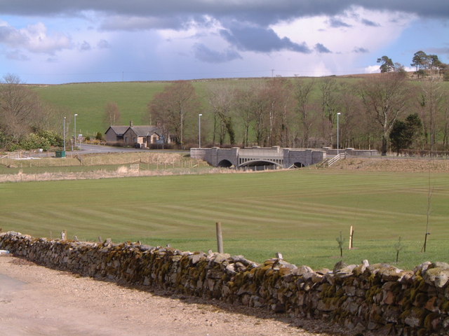
Blackcraig Pot is a picturesque freshwater lake located in Aberdeenshire, Scotland. Nestled amidst rolling hills and lush greenery, it covers an area of approximately 10 acres and is a popular destination for nature enthusiasts and anglers alike.

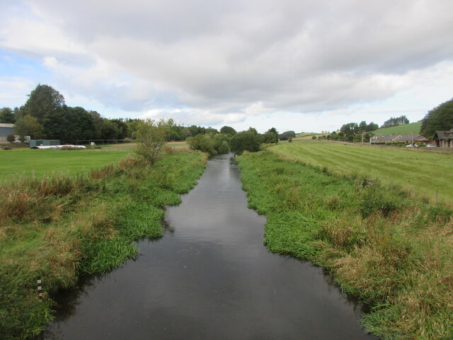
The lake is known for its crystal-clear waters, which are fed by several small streams that flow from the surrounding hills. This constant supply of fresh water ensures a healthy ecosystem, supporting a diverse range of aquatic plant life and fish species.

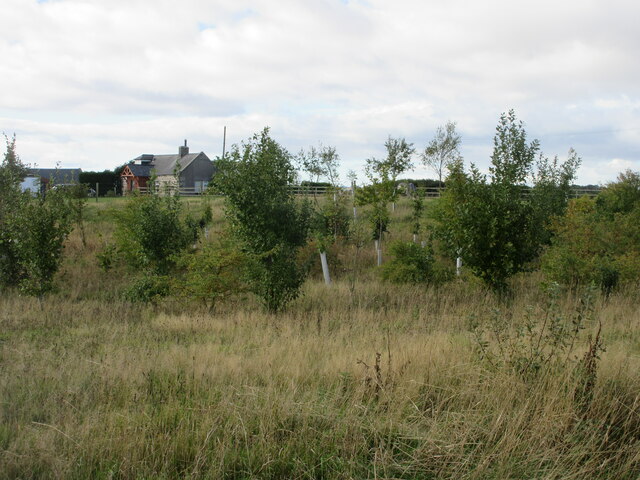
Surrounded by dense vegetation, including reeds and willow trees, Blackcraig Pot is also home to various bird species, making it a haven for birdwatchers. The lake provides an ideal habitat for waterfowl such as ducks, swans, and geese, as well as smaller birds like warblers and kingfishers. During the spring and summer months, the skies above the lake are filled with the melodious calls and vibrant plumage of these feathered residents.

Anglers are drawn to Blackcraig Pot for its abundance of fish, including brown trout, perch, and pike. The tranquil setting and peaceful atmosphere make it an ideal spot for a day of fishing and relaxation. Anglers can choose to fish from the banks or hire a boat to explore the deeper parts of the lake.

Overall, Blackcraig Pot offers a serene and idyllic setting, where visitors can immerse themselves in the beauty of nature, observe a variety of birdlife, or indulge in a spot of angling.

If you have any feedback on the listing, please let us know in the comments section below.

Blackcraig Pot Images

Images are sourced within 2km of 57.429575/-2.242108 or Grid Reference NJ8537. Thanks to Geograph Open Source API. All images are credited.

Methlick New Cemetery Looking west over the new cemetery on the B9170 south of Methlick.
Methlick New Cemetery
Looking west over the new cemetery on the B9170 south of Methlick.
Cottage at Collynie Looking west from the B9170 to a cottage at Collynie Farm.
Cottage at Collynie
Looking west from the B9170 to a cottage at Collynie Farm.
Plantation at Toddlehills New trees planted near the roadside at Toddlehills Croft.
Plantation at Toddlehills
New trees planted near the roadside at Toddlehills Croft.
Sheep west of Methlick Field of sheep between the Crofts of Haddo and Methlick.
Sheep west of Methlick
Field of sheep between the Crofts of Haddo and Methlick.
Methlick Bridge Methlick Bridge carrying the B9170 over the River Ythan.
Methlick Bridge
Methlick Bridge carrying the B9170 over the River Ythan.
River Ythan The River Ythan looking upstream from Methlick Bridge.
River Ythan
The River Ythan looking upstream from Methlick Bridge.
Methlick War Memorial The war memorial at Methlick near the parish church.
Methlick War Memorial
The war memorial at Methlick near the parish church.
Road to Methlick
Road to Methlick
Road to Methlick
Road to Methlick
Bridge in Methlick
Bridge in Methlick
Crops near Methlick Looking north towards Methlick. The ubiquitous rapeseed in the distance and late wheat (I think) in the foreground
Crops near Methlick
Looking north towards Methlick. The ubiquitous rapeseed in the distance and late wheat (I think) in the foreground
Laird's Cricket Ground, Methlick, Aberdeenshire Just as Lord's Cricket Ground is home of the MCC, so is Laird's Cricket Ground home of the Methlick Cricket Club!
Laird's Cricket Ground, Methlick, Aberdeenshire
Just as Lord's Cricket Ground is home of the MCC, so is Laird's Cricket Ground home of the Methlick Cricket Club!
Methlick Bridge, Aberdeenshire The cast iron bridge over the River Ythan at Methlick was originally built in 1844 on the order of Lord Aberdeen who lived at nearby Haddo House. The designers were the famous father & son team of architects, John & William Smith. Eventually the bridge became unable to cope with modern day traffic and was refurbished in 2003. This view is across the "Laird's Cricket Ground".
Methlick Bridge, Aberdeenshire
The cast iron bridge over the River Ythan at Methlick was originally built in 1844 on the order of Lord Aberdeen who lived at nearby Haddo House. The designers were the famous father & son team of architects, John & William Smith. Eventually the bridge became unable to cope with modern day traffic and was refurbished in 2003. This view is across the "Laird's Cricket Ground".
Methlick, Ythanview Hotel A traditional NE Scotland country village hotel. Old fashioned and basic public bar. comfortable lounge. good nosh. real ale.
Methlick, Ythanview Hotel
A traditional NE Scotland country village hotel. Old fashioned and basic public bar. comfortable lounge. good nosh. real ale.
Winter ploughing at Burngrains.
Cemetery to the southeast of Methlick.
Lorry having crossed the bridge at Methlick.
The lane to Burngrains Farm.
Show me another place!

Blackcraig Pot is located at Grid Ref: NJ8537 (Lat: 57.429575, Lng: -2.242108)

Unitary Authority: Aberdeenshire

Police Authority: North East

What 3 Words

///messaging.chuckling.outlawing. Near Pitmedden, Aberdeenshire

Related Wikis

Methlick

Methlick (Gaelic: Maothulach) is a village in the Formartine area of Aberdeenshire, Scotland, situated on the River Ythan 11.2 kilometres (7.0 mi) north...

Haddo House

Haddo House is a Scottish stately home located near Tarves in Aberdeenshire, approximately 20 miles (32 km) north of Aberdeen (grid reference NJ868347...

Gight

Gight is the name of an estate in the parish of Fyvie in the Formartine area of Aberdeenshire, Scotland, United Kingdom. It is best known as the location...

Cairnorrie

Cairnorrie is a rural settlement in the Formartine area of Aberdeenshire, Scotland, situated on the B9170 road between Methlick and New Deer. The primary...

House of Schivas

House of Schivas is an L-plan tower house, dating from the 16th century, about three miles east of Methlick, in the valley of the River Ythan, in Aberdeenshire...

Formartine

Formartine (Scottish Gaelic: Fearann MhĂ rtainn meaning "Martin's land") is a committee area in Aberdeenshire, Scotland. This district extends north from...

Barthol Chapel

Barthol Chapel is a small village in the Formartine area of Aberdeenshire, Scotland, named after the Catholic saint, St Bartholomew. Barthol Chapel has...

Ythanbank

Ythanbank is a village in Aberdeenshire, Scotland. It is situated on the east bank of the River Ythan on the B9005, 4 miles (6.4 km) north-west of the...

Nearby Amenities

Located within 500m of 57.429575,-2.242108
Methlick
Name Gd: Maothulach
Place: village
Population: 540
Wikidata: Q6823672
Wikipedia: en:Methlick
Lat/Long: 57.4254912/-2.2396615
Ythanview Hotel
Tourism: hotel
Lat/Long: 57.4259692/-2.2403319
Recycling
Recycling Type: container
Lat/Long: 57.4259171/-2.2397378
Pub
Ythanview Hotel
Lat/Long: 57.4259335/-2.2402806
Power: pole
Lat/Long: 57.4260226/-2.2371067
Power: pole
Lat/Long: 57.4264169/-2.2365339
Power: pole
Lat/Long: 57.4268377/-2.2361219
Power: pole
Lat/Long: 57.4272959/-2.2356576
Power: pole
Lat/Long: 57.4278238/-2.2351984
Power: pole
Lat/Long: 57.4286592/-2.2343801
Power: pole
Lat/Long: 57.4292696/-2.2345109
Power: pole
Lat/Long: 57.4299738/-2.2346802
Power: pole
Lat/Long: 57.4305856/-2.2348059
Historic: memorial
Memorial: war_memorial
Wikidata: Q114168793
Lat/Long: 57.4257374/-2.239281
Bus Stop
War Memorial
Bus: yes
Naptan AtcoCode: 630062221
Naptan Bearing: NW
Naptan BusStopType: CUS
Naptan CommonName: War Memorial
Naptan Indicator: opp
Naptan NaptanCode: 23625859
Naptan Street: B9170
Naptan Verified: no
Public Transport: platform
Source: naptan;bing;naptan_compare_tool
Lat/Long: 57.4258854/-2.2400684
Bus Stop
War Memorial
Bench: yes
Bin: yes
Bus: yes
Lit: yes
Naptan AtcoCode: 630030711
Naptan Bearing: SE
Naptan CommonName: War Memorial
Naptan Indicator: at
Naptan NaptanCode: 23625864
Naptan Street: B9170
Naptan Verified: no
Public Transport: platform
Shelter: yes
Source: naptan;bing;naptan_compare_tool
Tactile Paving: no
Lat/Long: 57.4258466/-2.239803
Restaurant
Fu Cheng Chinese Takeaway
Addr City: Ellon
Addr Postcode: AB41 7DS
Addr Street: Main Road
Addr Suburb: Methlick
Cuisine: chinese
Opening Hours: Mo-Su 16:00-22:30; Tu off
Lat/Long: 57.4255168/-2.2398665
Power: transformer
Lat/Long: 57.4254903/-2.2415606
Power: pole
Lat/Long: 57.4254211/-2.2417404
Power: pole
Lat/Long: 57.4252175/-2.2422751
Power: pole
Lat/Long: 57.4254709/-2.2436373
Power: pole
Lat/Long: 57.4259785/-2.2444815
Power: pole
Lat/Long: 57.4264346/-2.245261
Power: pole
Lat/Long: 57.426909/-2.246062
Power: pole
Lat/Long: 57.4274/-2.2468754
Power: pole
Lat/Long: 57.4278877/-2.2477196
Power: pole
Lat/Long: 57.4283953/-2.2485392
Power: pole
Lat/Long: 57.4280055/-2.2469155
Power: pole
Lat/Long: 57.4286009/-2.2469586
Power: pole
Lat/Long: 57.4288883/-2.2494018
Access: private
Man Made: water_well
Pump: manual
Lat/Long: 57.4289562/-2.2485986
1st Methlick Scout Group
Club: scout
Lat/Long: 57.4274672/-2.2431157
The data included in this document is from www.openstreetmap.org. The data is made available under ODbL.

Have you been to Blackcraig Pot?

Leave your review of Blackcraig Pot below (or comments, questions and feedback).