Beck Meetings
Lake, Pool, Pond, Freshwater Marsh in Yorkshire Eden
England
Beck Meetings
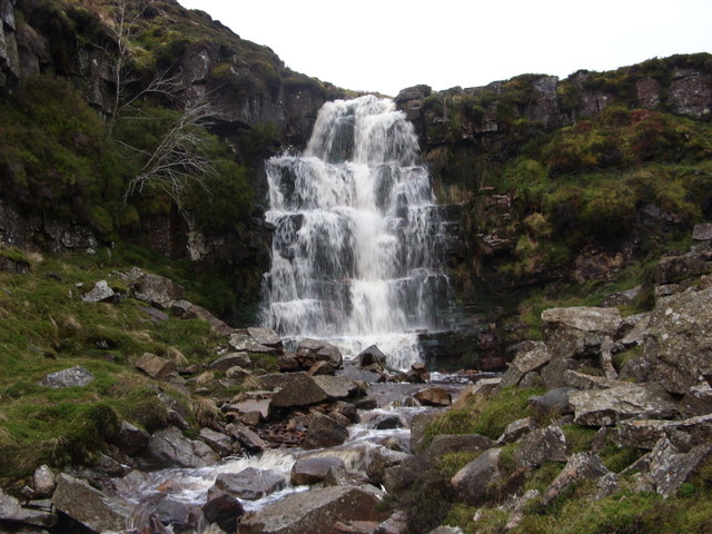
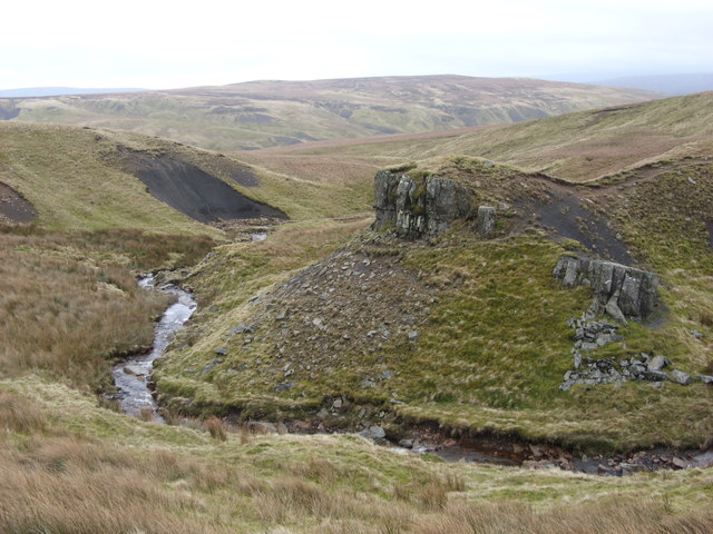
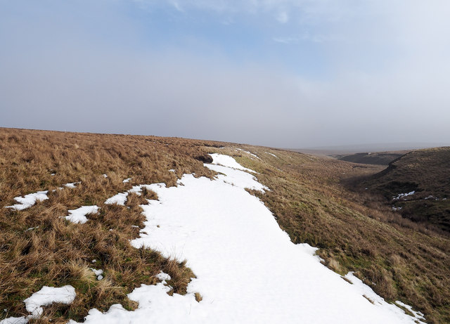
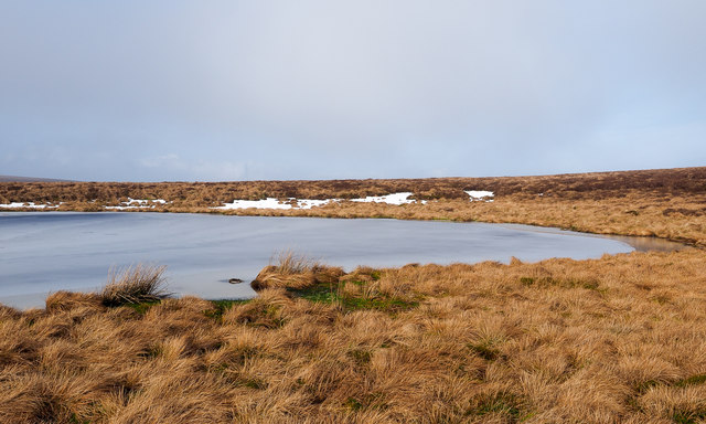
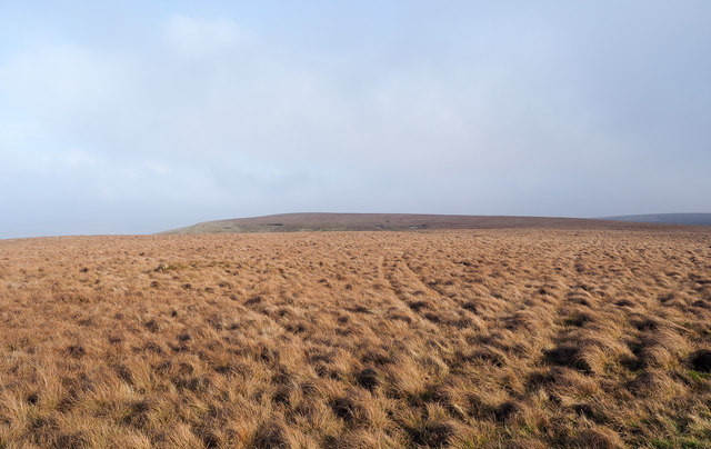
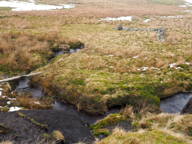
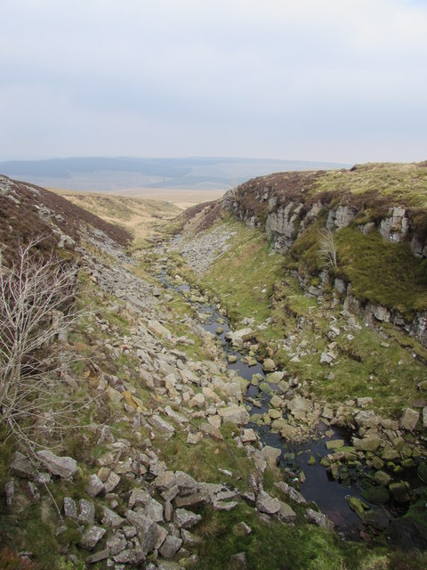
Beck Meetings is a picturesque natural site located in Yorkshire, England. This area consists of various bodies of water, including a lake, pool, pond, and freshwater marsh. It is a popular destination for both locals and tourists due to its serene ambiance and diverse wildlife.
The lake at Beck Meetings is the main attraction, stretching across a considerable expanse. It offers stunning views of the surrounding countryside and is a haven for birdwatchers, as numerous species can be spotted here throughout the year. The lake is also perfect for fishing enthusiasts, with an abundance of fish species, including pike, perch, and carp.
Adjacent to the lake is a smaller pool, which provides a tranquil setting for relaxation and enjoying the peaceful sounds of nature. This pool is often frequented by waterfowl, such as ducks and swans, adding to its charm.
A charming pond can also be found within the Beck Meetings area. It is smaller in size but equally captivating, with its clear waters reflecting the surrounding vegetation. The pond is home to various amphibians, including frogs and newts, making it an ideal spot for nature lovers and wildlife photographers.
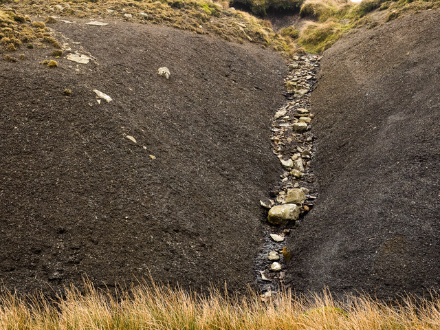
Lastly, the freshwater marsh at Beck Meetings is a unique ecosystem that supports a diverse range of plants and animals. It is an important habitat for wetland birds and provides a breeding ground for several species. The marsh can be explored through walking trails, allowing visitors to immerse themselves in the natural beauty of the area.
Overall, Beck Meetings offers a wonderful retreat for those seeking tranquility and an opportunity to connect with nature. Whether it's fishing at the lake, observing waterfowl at the pool, admiring the wildlife at the pond, or exploring the marsh, this site has something for everyone to enjoy.
If you have any feedback on the listing, please let us know in the comments section below.
Beck Meetings Images
Images are sourced within 2km of 54.448376/-2.2356517 or Grid Reference NY8405. Thanks to Geograph Open Source API. All images are credited.


Beck Meetings is located at Grid Ref: NY8405 (Lat: 54.448376, Lng: -2.2356517)
Division: North Riding
Administrative County: Cumbria
District: Eden
Police Authority: Cumbria
What 3 Words
///landed.degrading.prouder. Near Kirkby Stephen, Cumbria
Nearby Locations
Related Wikis
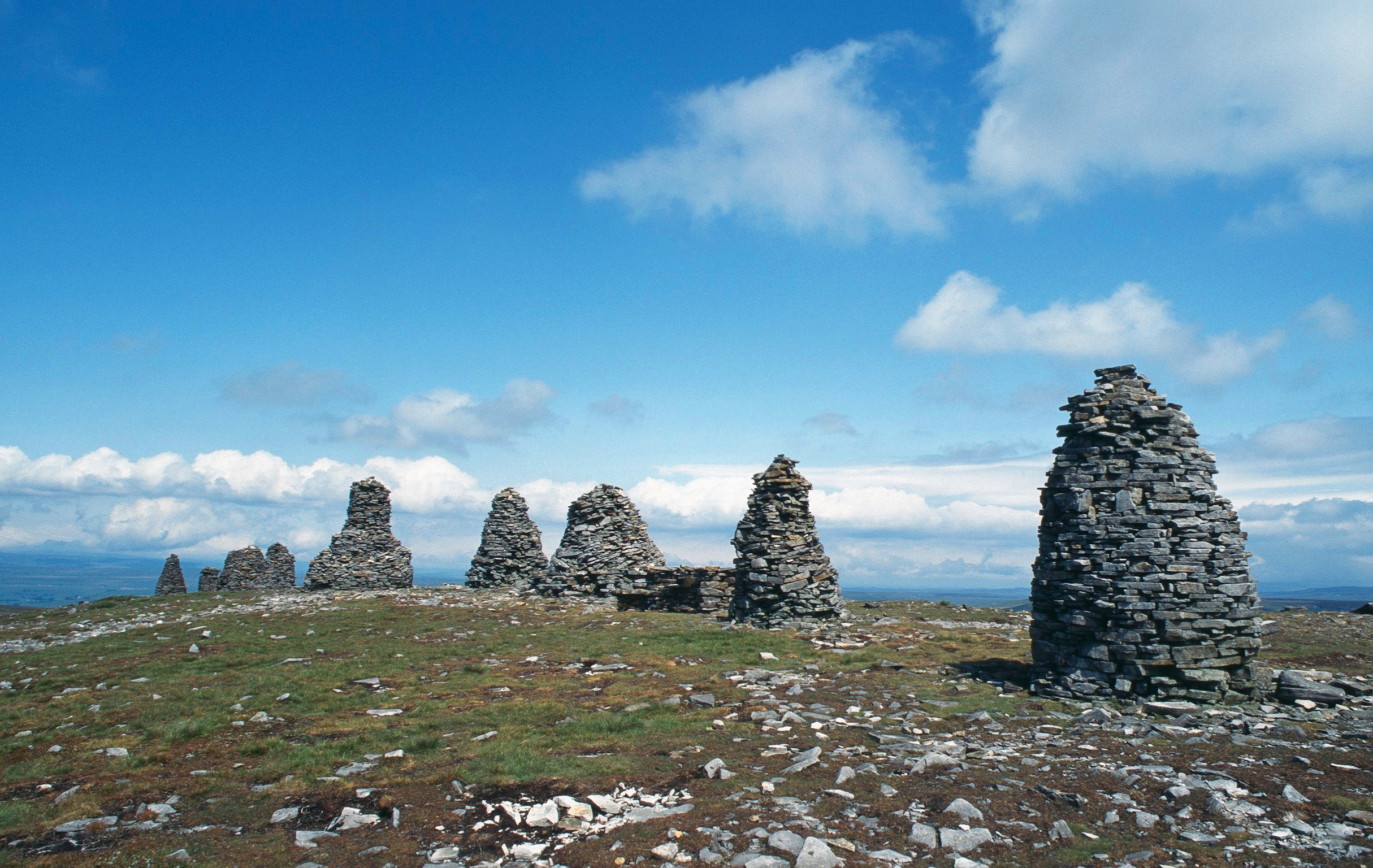
Nine Standards Rigg
Nine Standards Rigg is the summit of Hartley Fell in the Pennine Hills of England. It lies near the boundary between Cumbria and North Yorkshire, a few...

Birkdale, North Yorkshire
Birkdale (sometimes written out as Birk Dale) is a dale in the Yorkshire Dales National Park, in North Yorkshire, England. It lies at the far western end...

Belah Viaduct
The Belah Viaduct was a railway viaduct on the South Durham and Lancashire Union Railway, crossing the River Belah, in Cumbria, England, about 1 mile...

Tan Hill, North Yorkshire
Tan Hill (NY896067) is a high point on the Pennine Way in the Richmondshire district of North Yorkshire, England. It lies north of Keld in the civil parish...
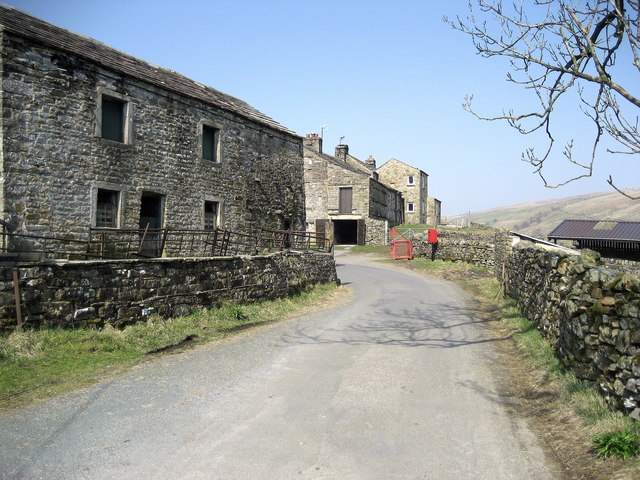
West Stonesdale
West Stonesdale is a hamlet in the Yorkshire Dales, North Yorkshire, England. The secluded village is near Keld to the south, Tan Hill to the north and...

Wain Wath Force
Wain Wath Force is a waterfall on the River Swale in the Yorkshire Dales National Park, North Yorkshire, England. The falls are at grid reference NY883015...

Barras railway station
Barras railway station was situated on the South Durham & Lancashire Union Railway between Barnard Castle and Kirkby Stephen East. == History == The station...

Barras, Cumbria
Barras is a hamlet close to the River Belah, about 4 miles (6 kilometres) south-east of Brough, Cumbria, England. Until the creation of the new county...
Nearby Amenities
Located within 500m of 54.448376,-2.2356517Have you been to Beck Meetings?
Leave your review of Beck Meetings below (or comments, questions and feedback).