Crook a' Peel
Lake, Pool, Pond, Freshwater Marsh in Aberdeenshire
Scotland
Crook a' Peel
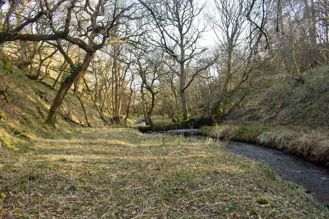
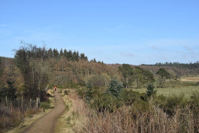
Crook a' Peel is a picturesque freshwater marsh located in Aberdeenshire, Scotland. Situated amidst rolling hills and lush green landscapes, it is a popular destination for nature lovers and outdoor enthusiasts. The site is known for its diverse and vibrant aquatic ecosystem, which includes a lake, pool, pond, and freshwater marsh.
The lake at Crook a' Peel is a stunning body of water, encompassing a large area and providing a serene environment for various water-based activities. Visitors can enjoy boating, fishing, and even swimming in the crystal-clear waters. The lake is home to a range of fish species, making it an ideal spot for anglers seeking a rewarding fishing experience.
Adjacent to the lake, there is a smaller pool nestled among the reeds and water lilies. This tranquil pool is a haven for wildlife, attracting a wide array of birds, amphibians, and insects. Birdwatchers can observe species such as herons, ducks, and swans, as well as the occasional osprey or kingfisher.
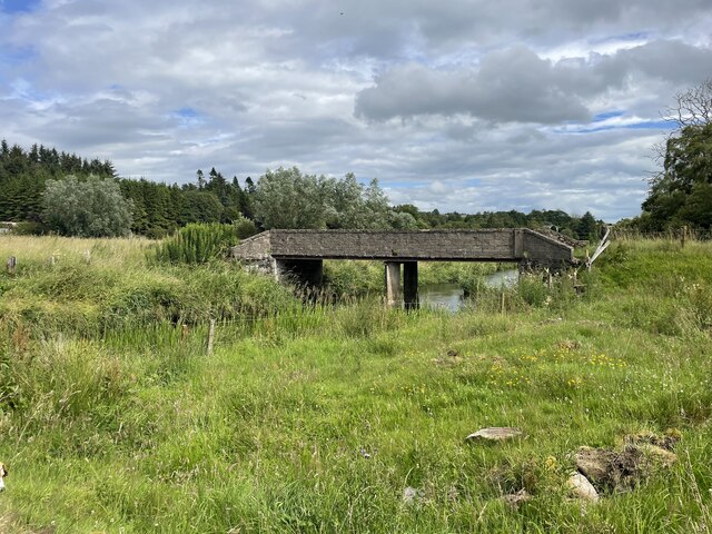
The pond and freshwater marsh at Crook a' Peel further contribute to the biodiversity of the area. The pond hosts various aquatic plants, creating a beautiful and vibrant habitat. The marshland, characterized by its marsh grasses and sedges, serves as a breeding ground for numerous species of amphibians and insects.
Crook a' Peel offers a delightful opportunity for visitors to immerse themselves in the beauty of nature. Its diverse water bodies and rich wildlife make it a must-visit destination for those seeking tranquility and a chance to explore Scotland's natural wonders.
If you have any feedback on the listing, please let us know in the comments section below.
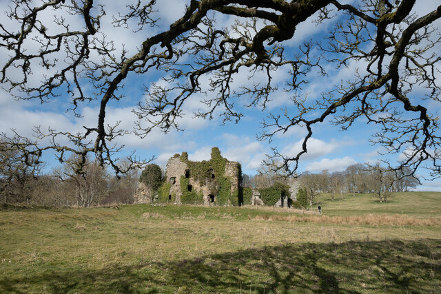
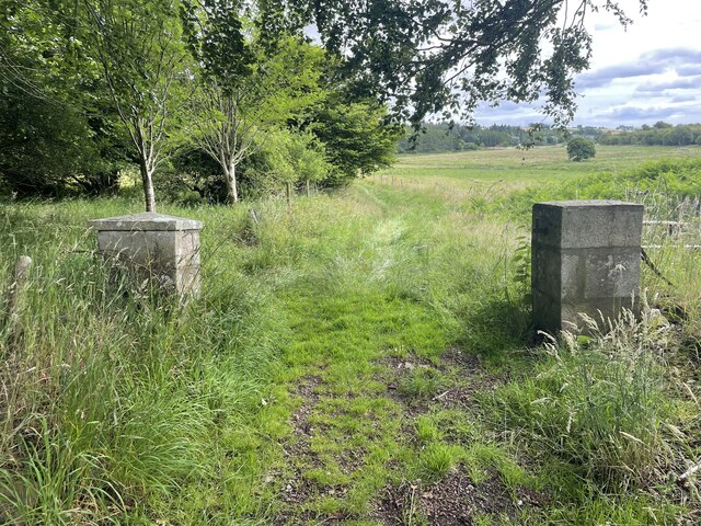
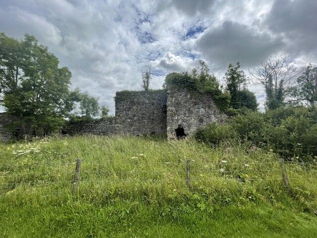
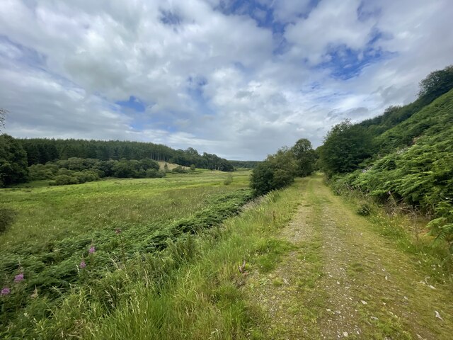
Crook a' Peel Images
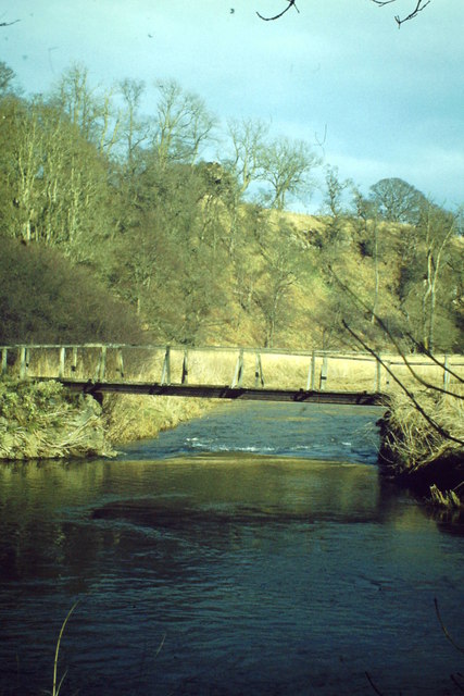
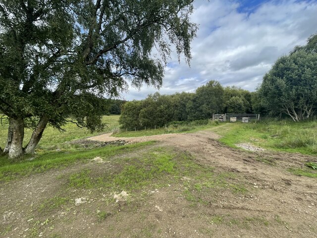
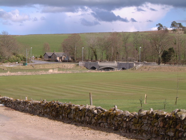
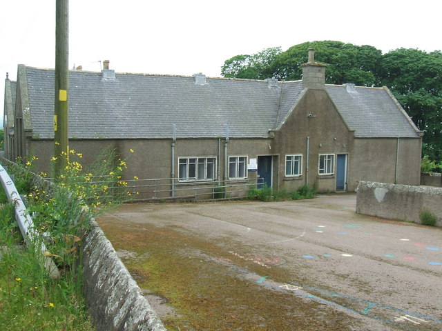
Images are sourced within 2km of 57.443913/-2.2803374 or Grid Reference NJ8339. Thanks to Geograph Open Source API. All images are credited.


Crook a' Peel is located at Grid Ref: NJ8339 (Lat: 57.443913, Lng: -2.2803374)
Unitary Authority: Aberdeenshire
Police Authority: North East
What 3 Words
///navy.crispy.archduke. Near Rothienorman, Aberdeenshire
Nearby Locations
Related Wikis

Gight
Gight is the name of an estate in the parish of Fyvie in the Formartine area of Aberdeenshire, Scotland, United Kingdom. It is best known as the location...
Methlick
Methlick (Gaelic: Maothulach) is a village in the Formartine area of Aberdeenshire, Scotland, situated on the River Ythan 11.2 kilometres (7.0 mi) north...
Cairnorrie
Cairnorrie is a rural settlement in the Formartine area of Aberdeenshire, Scotland, situated on the B9170 road between Methlick and New Deer. The primary...

Woodhead, Aberdeenshire
Woodhead of Fyvie, often simply called "Woodhead", is an inland hamlet in Formartine, Aberdeenshire, Scotland, that lies to the east of Fyvie near the...
Nearby Amenities
Located within 500m of 57.443913,-2.2803374Have you been to Crook a' Peel?
Leave your review of Crook a' Peel below (or comments, questions and feedback).