Hatton Bogs
Lake, Pool, Pond, Freshwater Marsh in Staffordshire Stafford
England
Hatton Bogs

Hatton Bogs, located in Staffordshire, is a fascinating natural area that encompasses a variety of aquatic environments, including lakes, pools, ponds, and freshwater marshes. Spanning approximately 50 acres, this wetland complex is a haven for a diverse range of plant and animal species, making it an important site for conservation and scientific study.
The main feature of Hatton Bogs is the interconnected system of water bodies. The lakes, which are relatively large and deep, provide habitat for various fish species such as perch, pike, and roach. These lakes are surrounded by pools and ponds, some of which are more shallow and support a rich array of aquatic plants, such as water lilies and reeds. These plants not only contribute to the beauty of the area but also provide shelter and food for numerous animal species.
One of the most remarkable aspects of Hatton Bogs is the presence of freshwater marshes. These marshes are characterized by their waterlogged and nutrient-rich soils, which support the growth of unique plant communities. Here, one can find a variety of sedges, rushes, and grasses, as well as rare species like the marsh orchid and the bog rosemary. These marshes are also crucial for providing nesting grounds for waterfowl and attracting migratory birds during their journeys.
Visitors to Hatton Bogs can enjoy a range of recreational activities, including birdwatching, fishing, and nature walks. The site is also managed by local conservation organizations, who ensure the preservation of its delicate ecosystems and educate the public about the importance of wetlands for biodiversity and the environment as a whole. Hatton Bogs truly offers a unique and enriching experience for nature enthusiasts and serves as a valuable natural resource in Staffordshire.
If you have any feedback on the listing, please let us know in the comments section below.
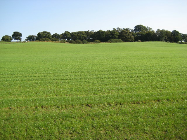
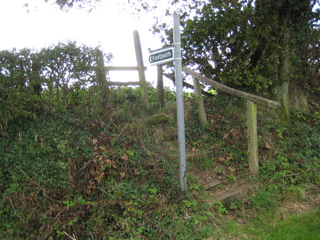
Hatton Bogs Images
Images are sourced within 2km of 52.932865/-2.2624691 or Grid Reference SJ8237. Thanks to Geograph Open Source API. All images are credited.


Hatton Bogs is located at Grid Ref: SJ8237 (Lat: 52.932865, Lng: -2.2624691)
Administrative County: Staffordshire
District: Stafford
Police Authority: Staffordshire
What 3 Words
///dares.vibes.ruins. Near Standon, Staffordshire
Nearby Locations
Related Wikis

Coombesdale
Coombesdale is a small settlement in Staffordshire, England. It is near the A51 road and is 6 kilometres (4 mi) southwest of the city of Stoke-on-Trent...
Standon Bridge railway station
Standon Bridge railway station was a railway station in Standon, approximately 4 miles (6.4 km) west of Stone, Staffordshire. The station closed on 4 February...

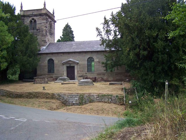
Standon, Staffordshire
Standon is a village and civil parish in the Stafford district, in the county of Staffordshire, England. Standon has a church called Church of All Saints...
Bowers, Staffordshire
Bowers is a village in Staffordshire, England. For population details as taken in the 2011 census see Standon.
Beechcliff
Beechcliff is a village in Staffordshire, England. For population details at the 2011 census see Swynnerton

Swynnerton Hall
Swynnerton Hall is an 18th-century country mansion house, the home of Lord Stafford, situated at Swynnerton near Stone, Staffordshire. It is a Grade I...

Maer Hall
Maer Hall is a large Grade II listed 17th-century country house in Maer, Staffordshire, set in a park which is listed Grade II in Historic England's Register...

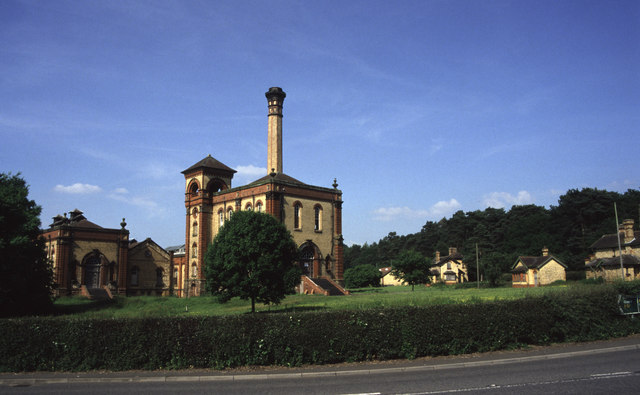
Mill Meece Pumping Station
Mill Meece Pumping Station is a pumping station, located in the village of Mill Meece in Staffordshire, England. Its function, powered by steam engines...
Nearby Amenities
Located within 500m of 52.932865,-2.2624691Have you been to Hatton Bogs?
Leave your review of Hatton Bogs below (or comments, questions and feedback).