Farm Pool
Lake, Pool, Pond, Freshwater Marsh in Somerset Mendip
England
Farm Pool

Farm Pool is a natural body of water located in Somerset, England. It is classified as a lake, pool, pond, and freshwater marsh due to its unique characteristics. The pool covers an area of approximately 5 acres and is surrounded by lush green farmland.
The water in Farm Pool is primarily sourced from rainfall and underground springs, resulting in a constant flow of fresh water. The lake is known for its crystal-clear waters, which are home to a diverse range of aquatic plants and wildlife.
The freshwater marsh surrounding the pool is a crucial habitat for various species of birds, amphibians, and insects. It provides a safe breeding ground for many rare and endangered species, making it a site of significant ecological importance. Visitors to Farm Pool can observe the rich biodiversity of the area and enjoy the tranquil ambiance created by the surrounding natural landscape.
The pool also attracts fishing enthusiasts, as it is well-stocked with a variety of fish species, including carp, roach, and perch. Fishing is permitted with the appropriate licenses and regulations in place to ensure sustainable practices.
Farm Pool offers a peaceful retreat for nature lovers, hikers, and anglers alike. Its scenic beauty, diverse wildlife, and recreational opportunities make it a popular destination for both locals and tourists seeking to immerse themselves in the natural wonders of Somerset.
If you have any feedback on the listing, please let us know in the comments section below.
Farm Pool Images
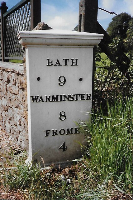
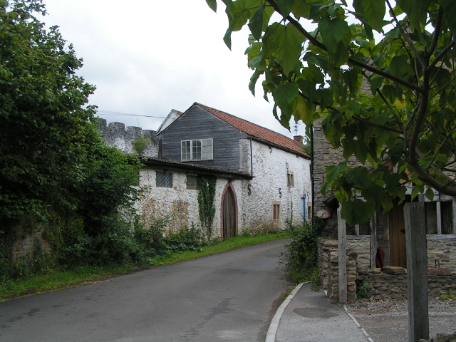
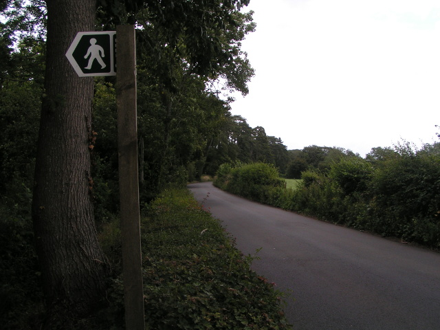
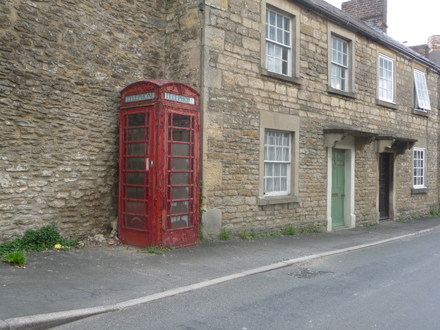
Images are sourced within 2km of 51.282095/-2.272944 or Grid Reference ST8153. Thanks to Geograph Open Source API. All images are credited.


Farm Pool is located at Grid Ref: ST8153 (Lat: 51.282095, Lng: -2.272944)
Administrative County: Somerset
District: Mendip
Police Authority: Avon and Somerset
What 3 Words
///turns.viewer.riches. Near Rode, Somerset
Nearby Locations
Related Wikis
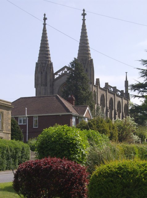
Christ Church, Rode
The Anglican Church of St Peter in Rode, within the English county of Somerset, dates from 1824. It is a redundant church and a Grade II* listed building...

Rode, Somerset
Rode (formerly Road) is a village and civil parish in the ceremonial county of Somerset in England, 5 miles (8.0 km) north-east of Frome and 5 miles (8...

Seymours Court Farmhouse, Beckington
Seymours Court Farmhouse in Beckington, Somerset, England, dates from the 15th century and is a Grade I listed building. It was the home of Thomas Seymour...
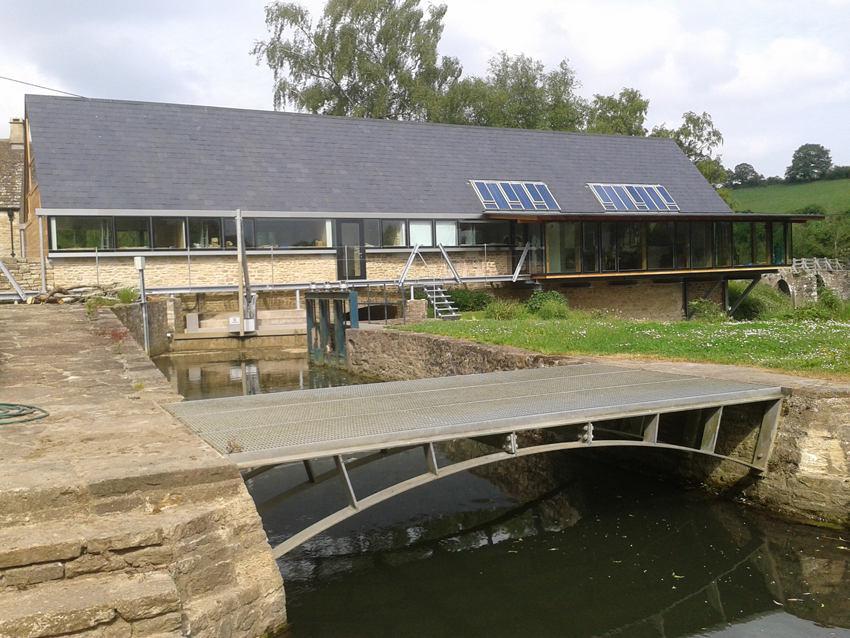
Tellisford Mill
Tellisford Mill is a 55 kilowatts (74 hp) installed capacity micro hydro run-of-the-river power station on the site of a former watermill in the village...
Nearby Amenities
Located within 500m of 51.282095,-2.272944Have you been to Farm Pool?
Leave your review of Farm Pool below (or comments, questions and feedback).