Central Bay
Lake, Pool, Pond, Freshwater Marsh in Lancashire
England
Central Bay

Central Bay is a picturesque region located in the county of Lancashire, England. This area is renowned for its stunning natural features, including a serene lake, a tranquil pool, a charming pond, and a thriving freshwater marsh. Spanning approximately 100 acres, Central Bay is a true haven for nature enthusiasts and wildlife lovers.
The centerpiece of this area is the Central Bay Lake, which stretches across 50 acres and is surrounded by lush greenery. The crystal-clear waters of the lake provide a peaceful and serene atmosphere, making it a popular spot for fishing and boating activities. Visitors can enjoy the tranquil surroundings while admiring the variety of birds and aquatic life that call the lake their home.
Adjacent to the lake is the Central Bay Pool, a smaller body of water that offers a more intimate setting. This pool is nestled amidst a grove of trees, providing a shaded and secluded spot for relaxation and contemplation. Its calm waters reflect the beauty of the surrounding landscape, creating a truly breathtaking sight.
The Central Bay Pond is another noteworthy feature in the area. It is a small, shallow body of water that attracts a diverse array of wildlife, including frogs, newts, and dragonflies. The pond is surrounded by vibrant vegetation, making it an ideal spot for nature photography and observation.
Lastly, the Central Bay Freshwater Marsh is a thriving ecosystem that supports a wide range of plant and animal species. The marsh is characterized by its wetland vegetation, including reeds, rushes, and sedges. It serves as an important breeding and feeding ground for numerous bird species, such as herons and ducks.
In conclusion, Central Bay in Lancashire is a remarkable natural landscape that encompasses a beautiful lake, pool, pond, and freshwater marsh. Its serene atmosphere and abundant wildlife make it a must-visit destination for nature enthusiasts and those seeking tranquility amidst nature's beauty.
If you have any feedback on the listing, please let us know in the comments section below.
Central Bay Images
Images are sourced within 2km of 53.470193/-2.2901652 or Grid Reference SJ8097. Thanks to Geograph Open Source API. All images are credited.


Central Bay is located at Grid Ref: SJ8097 (Lat: 53.470193, Lng: -2.2901652)
Unitary Authority: Salford
Police Authority: Greater Manchester
What 3 Words
///unique.soda.vote. Near Trafford Park, Manchester
Nearby Locations
Related Wikis

Real Radio XS
Real Radio XS was a radio station brand operated by Real and Smooth Ltd (formerly GMG Radio) based in Salford, Greater Manchester, broadcasting a variety...

Salford Quays
Salford Quays is an area of Salford, Greater Manchester, England, near the end of the Manchester Ship Canal. Previously the site of Manchester Docks, it...

Salford Quays lift bridge
The Salford Quays lift bridge, also known as the Salford Quays Millennium footbridge or the Lowry bridge, is a 91.2-metre (299 ft) long vertical lift bridge...
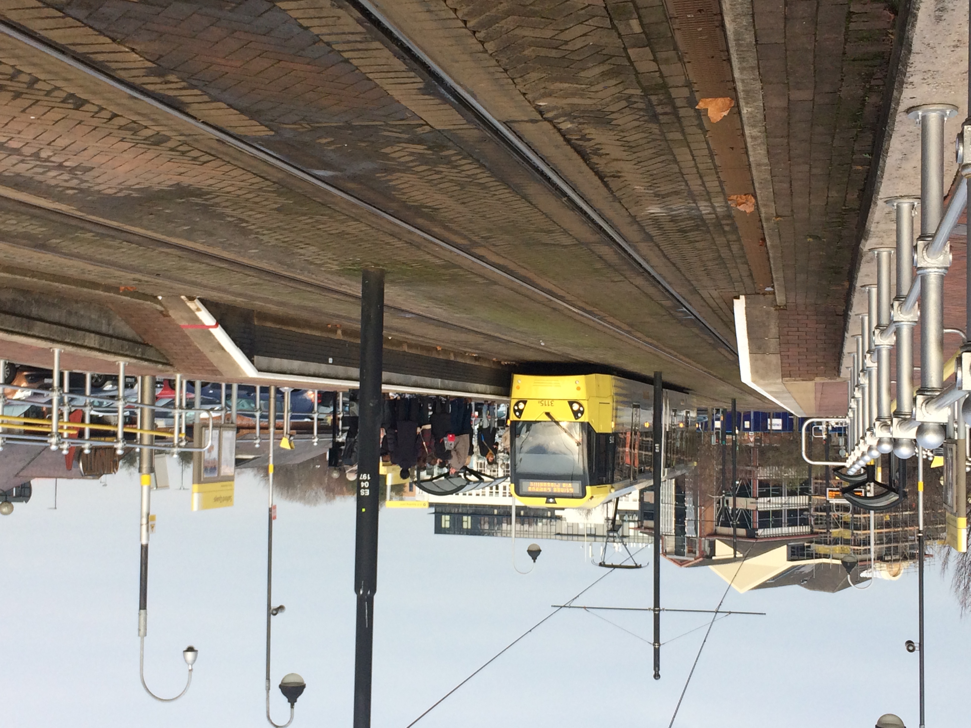
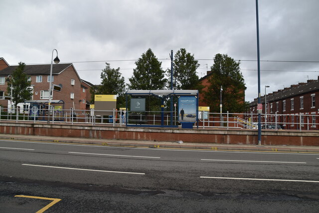
Salford Quays tram stop
Salford Quays tram stop is a stop on Greater Manchester's light rail Metrolink system. It is located beside Salford Quays, on Metrolink's Eccles Line....
Nearby Amenities
Located within 500m of 53.470193,-2.2901652Have you been to Central Bay?
Leave your review of Central Bay below (or comments, questions and feedback).