Cornard, Great
Settlement in Suffolk Babergh
England
Cornard, Great
Cornard, also known as Great Cornard, is a village located in the county of Suffolk, England. It is situated about two miles south-west of the market town of Sudbury, and has a population of approximately 9,000 residents.
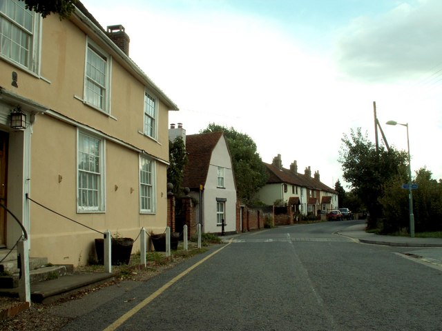
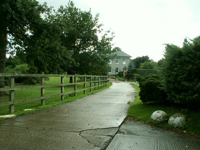
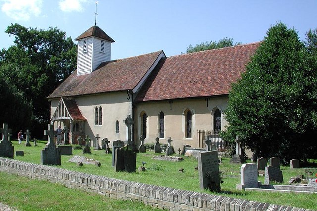
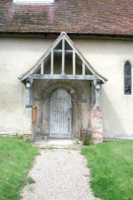
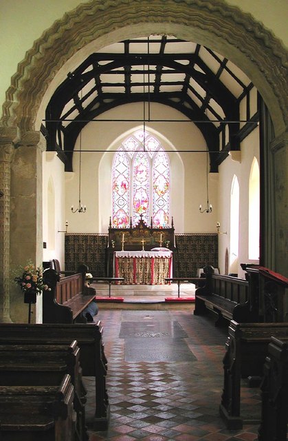
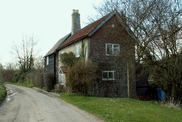
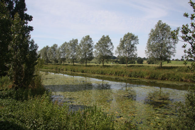
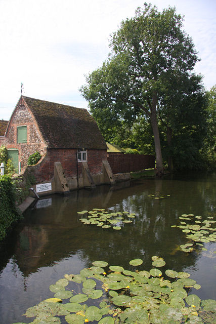
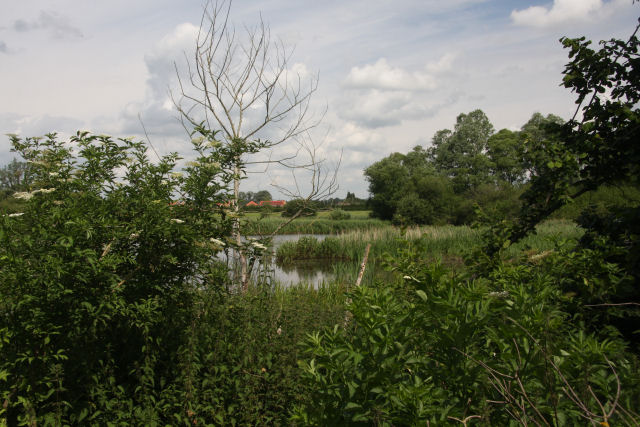
The village is known for its picturesque countryside, with rolling hills and scenic landscapes. It is surrounded by farmland, providing a rural and peaceful atmosphere. Cornard has a rich history, with evidence of human settlement dating back to the Roman era.
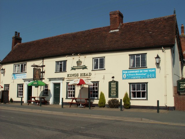
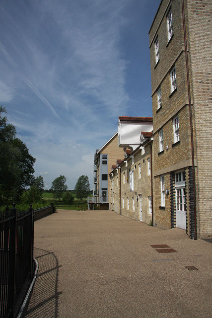
In terms of amenities, Cornard offers a range of services and facilities for its residents. There are several schools in the village, including primary and secondary options, ensuring convenient access to education. The local community is served by a variety of shops, pubs, and restaurants, providing essential goods and services. The village also has a library and a leisure center, offering recreational activities for all ages.
Cornard is well-connected to neighboring towns and cities, with good transport links. The A134 road runs through the village, connecting it to Sudbury and the wider region. Additionally, there are regular bus services that operate within the village, providing easy access to surrounding areas.
Overall, Cornard, Great Suffolk, offers its residents a peaceful and idyllic countryside setting, with a range of amenities and good transport links. Its rich history and picturesque landscapes make it an attractive place to live or visit.
If you have any feedback on the listing, please let us know in the comments section below.
Cornard, Great Images
Images are sourced within 2km of 52.026999/0.752328 or Grid Reference TL8840. Thanks to Geograph Open Source API. All images are credited.


Cornard, Great is located at Grid Ref: TL8840 (Lat: 52.026999, Lng: 0.752328)
Administrative County: Suffolk
District: Babergh
Police Authority: Suffolk
What 3 Words
///heavy.equipment.stocked. Near Sudbury, Suffolk
Nearby Locations
Related Wikis

Great Cornard
Great Cornard is a large village and civil parish that is part of the town of Sudbury, in the Babergh district, in the county of Suffolk, England. ��2...

Thomas Gainsborough School
Thomas Gainsborough School, formerly Great Cornard Upper School, is a secondary school and sixth form in the village of Great Cornard, part of the town...
Cornard United F.C.
Cornard United Football Club is a football club based in Great Cornard, near Sudbury, Suffolk, England. They are currently members of the Eastern Counties...
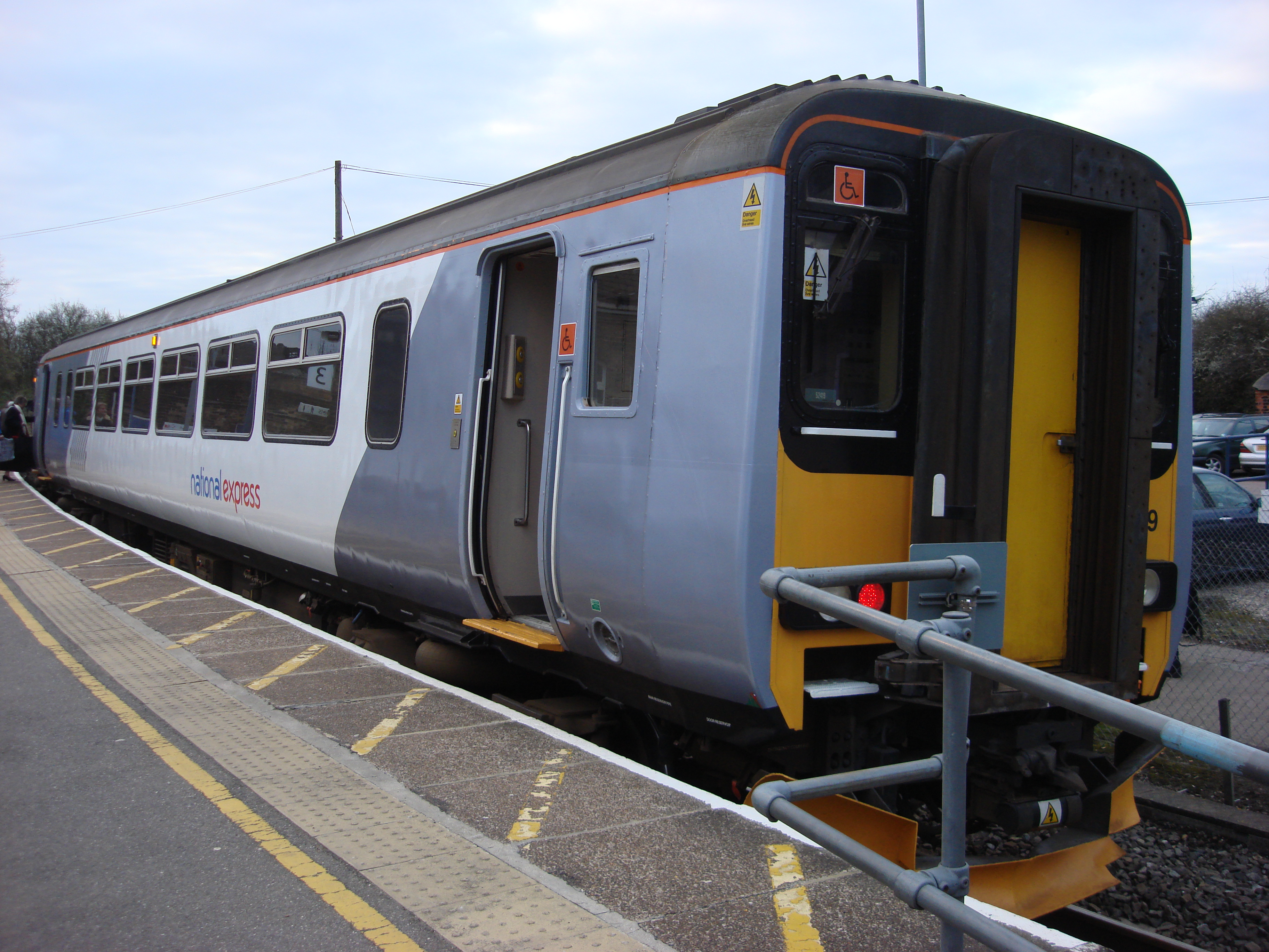
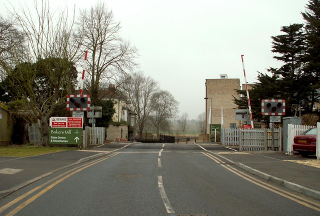
Little Cornard derailment
The Little Cornard derailment occurred on 17 August 2010 when a passenger train collided with a road vehicle on a level crossing on the Gainsborough Line...

Abbas Hall
Abbas Hall is a small country house in Great Cornard, a village located near the town of Sudbury, Suffolk in England, the Elizabethan exterior of which...

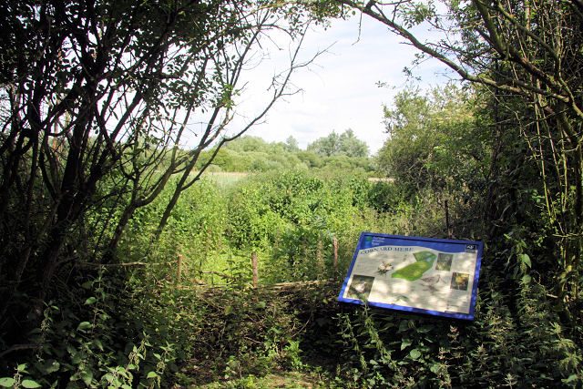
Cornard Mere
Cornard Mere is an 8.5-hectare (21-acre) biological Site of Special Scientific Interest in Little Cornard in Suffolk. It is managed by the Suffolk Wildlife...
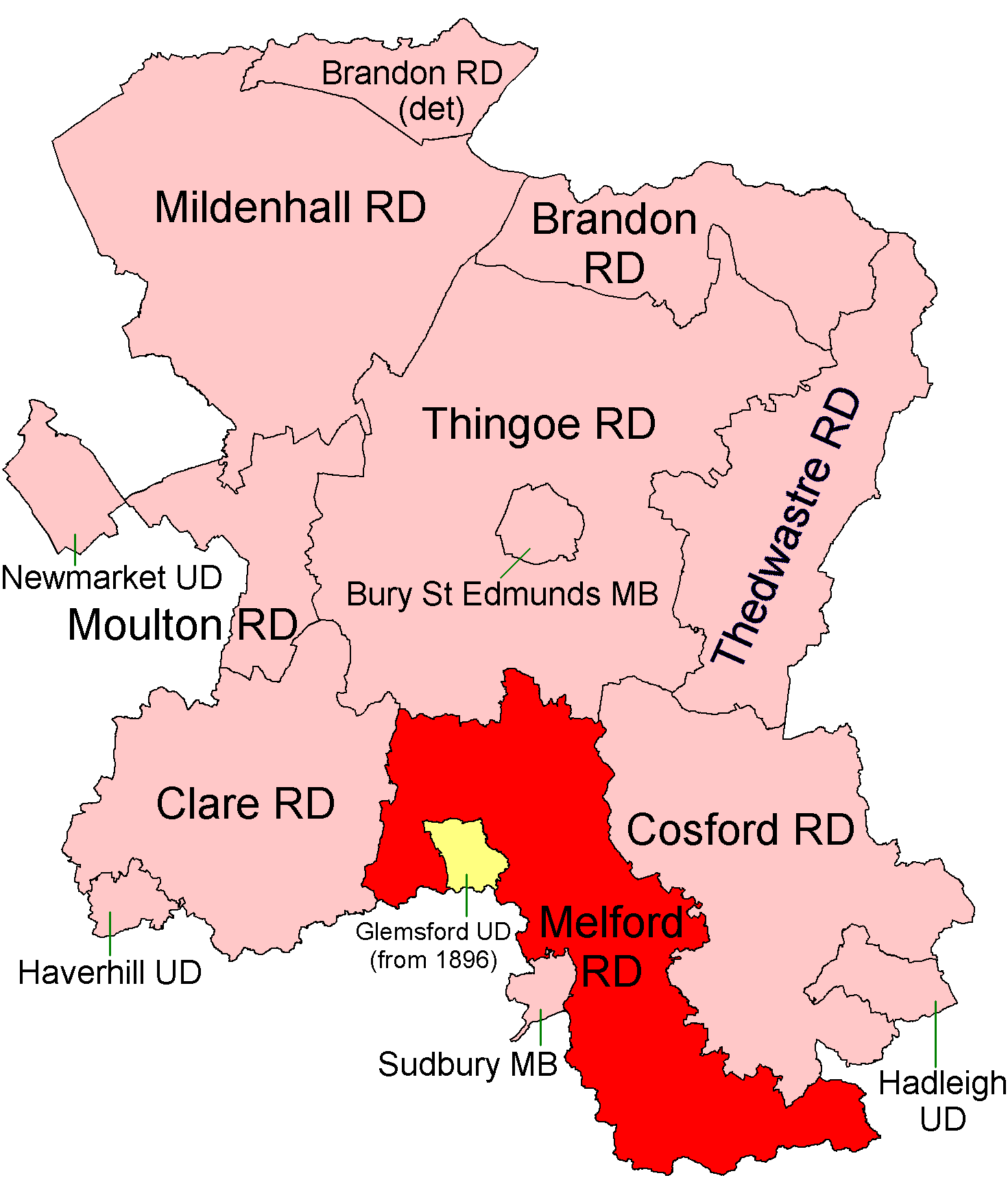
Melford Rural District
Melford Rural District was a rural district in the county of West Suffolk, England. It was created in 1894, under the Local Government Act 1894 from that...

Little Cornard
Little Cornard is a village and civil parish in Suffolk, England. Located around 0.5 miles (0.8 km) from its larger sibling, Great Cornard, on the B1508...
Nearby Amenities
Located within 500m of 52.026999,0.752328Have you been to Cornard, Great?
Leave your review of Cornard, Great below (or comments, questions and feedback).