Castle Pool
Lake, Pool, Pond, Freshwater Marsh in Gloucestershire Tewkesbury
England
Castle Pool
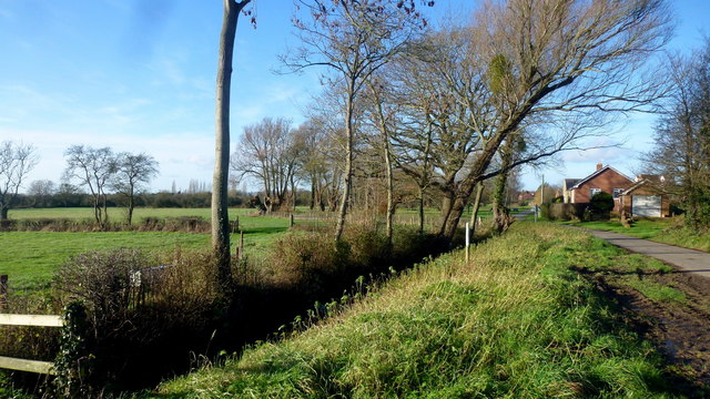
Castle Pool is a picturesque freshwater body located in the county of Gloucestershire, England. Nestled within the scenic countryside, this serene lake, also known as a pool or pond, spans across an area of approximately 10 acres. Surrounded by lush greenery and rolling hills, Castle Pool offers a tranquil retreat for nature enthusiasts and visitors alike.
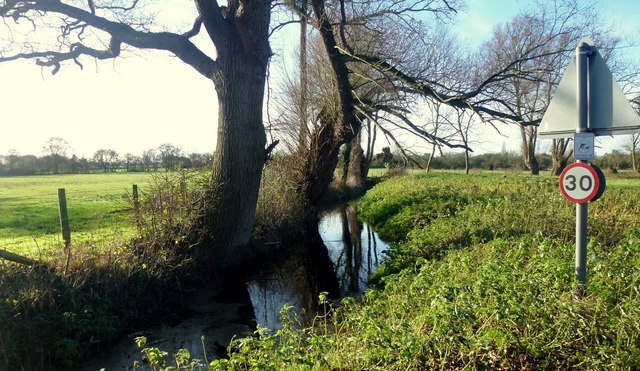
The pool is fed by several small streams that flow from the surrounding hills, ensuring a constant supply of cool, clear freshwater. This, in turn, creates an ideal habitat for a diverse range of aquatic flora and fauna. The pool's water is relatively calm and still, creating a peaceful atmosphere.
The shores of Castle Pool are adorned with a variety of plant life, such as water lilies, reeds, and cattails. These plants not only enhance the beauty of the pool but also provide shelter and nesting grounds for numerous bird species. Visitors can often spot ducks, swans, herons, and other waterfowl gracefully gliding across the surface or nesting in the surrounding vegetation.
Additionally, Castle Pool is home to a rich variety of fish species, including carp, roach, and perch. Anglers frequent the pool to enjoy a peaceful day of fishing, while families can gather to observe the vibrant underwater world through the crystal-clear waters.
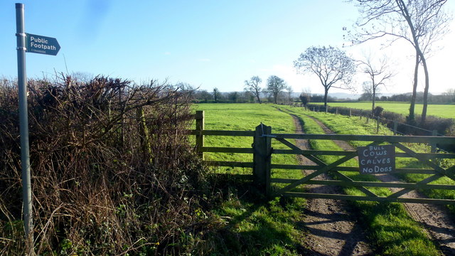
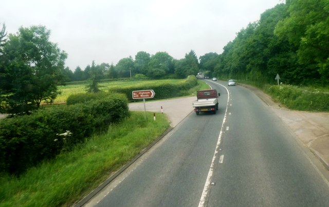
The pool is easily accessible via a well-maintained footpath that winds through the surrounding countryside. Its idyllic location, combined with its diverse ecosystem and peaceful ambiance, makes Castle Pool a hidden gem for nature lovers and a perfect spot for a leisurely stroll or a peaceful picnic.
If you have any feedback on the listing, please let us know in the comments section below.
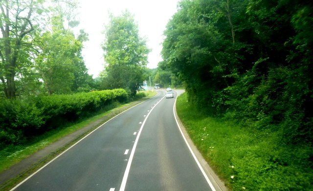
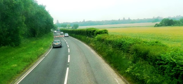
Castle Pool Images
Images are sourced within 2km of 51.859765/-2.3089409 or Grid Reference SO7817. Thanks to Geograph Open Source API. All images are credited.


Castle Pool is located at Grid Ref: SO7817 (Lat: 51.859765, Lng: -2.3089409)
Administrative County: Gloucestershire
District: Tewkesbury
Police Authority: Gloucestershire
What 3 Words
///prop.crunch.deed. Near Gloucester, Gloucestershire
Nearby Locations
Related Wikis
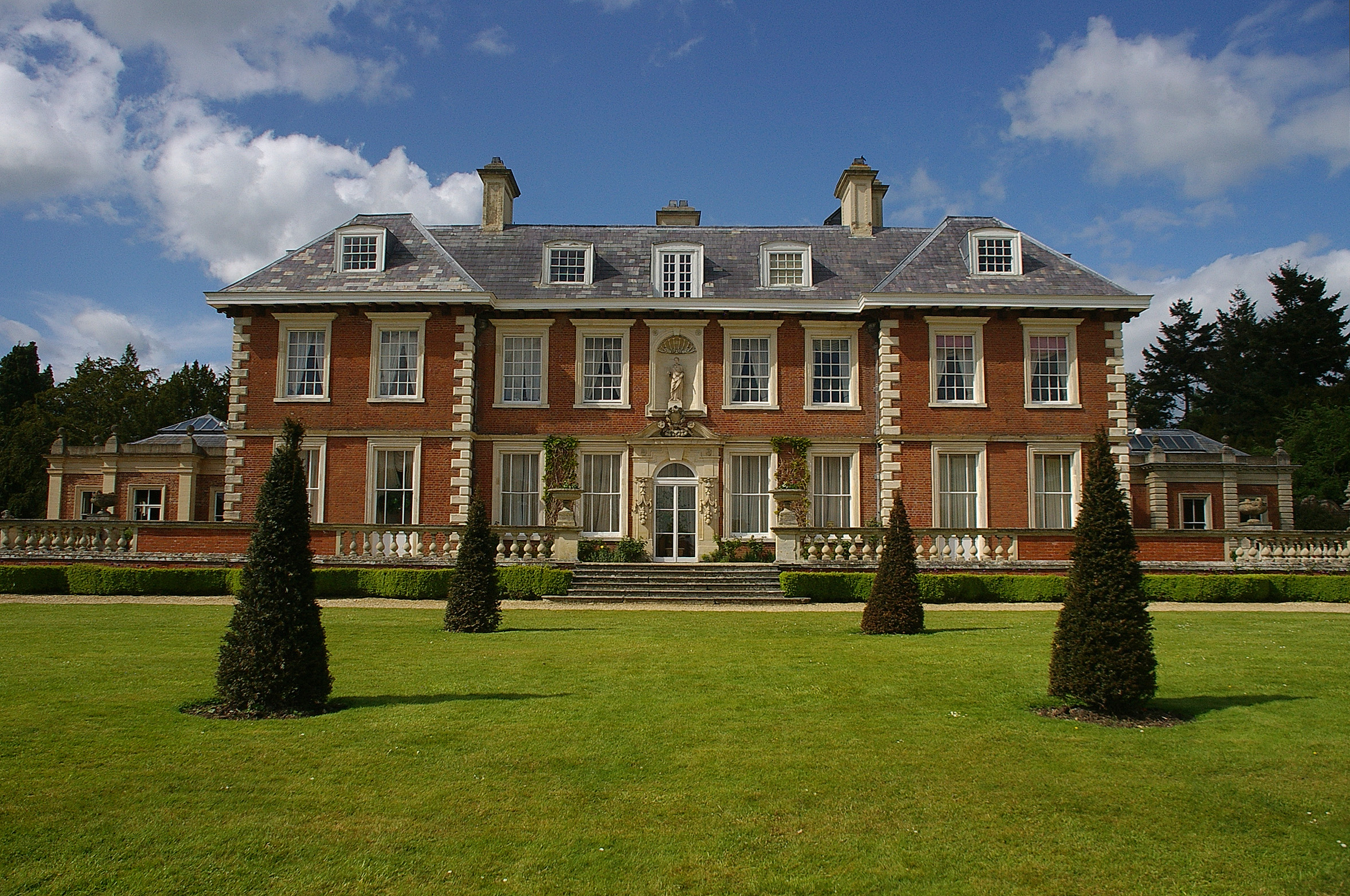
Highnam Court
Highnam Court is a Grade I listed country house in Highnam, Gloucestershire, England, constructed in the 17th century. The estate passed from the Cooke...

School of the Lion
The School of the Lion was an independent school based in Churcham, Gloucestershire. The school was founded in by 1987 by a group of Gloucestershire-based...

Minsterworth
Minsterworth is a village in Gloucestershire, England. It lies on the border of the City of Gloucester, on the north bank of the River Severn (effectively...

Highnam Woods
Highnam Wood is a nature reserve located in Gloucestershire and established by the RSPB to protect bird species in the region. A two-kilometre nature...
Nearby Amenities
Located within 500m of 51.859765,-2.3089409Have you been to Castle Pool?
Leave your review of Castle Pool below (or comments, questions and feedback).