Madam's Pool

Lake, Pool, Pond, Freshwater Marsh in Gloucestershire Stroud

England

Madam's Pool

Same gate, different sign, similar meaning Following up my last visit exactly five years ago see <a href="https://www.geograph.org.uk/photo/2213364">SO7816 : Bull in field?</a>.
Same gate, different sign, similar meaning Credit: Jonathan Billinger

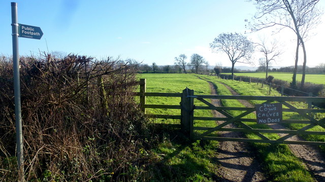
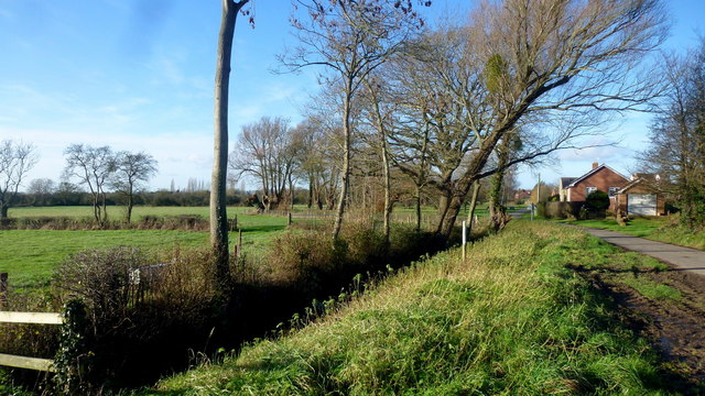
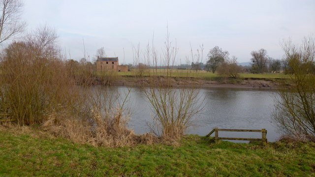
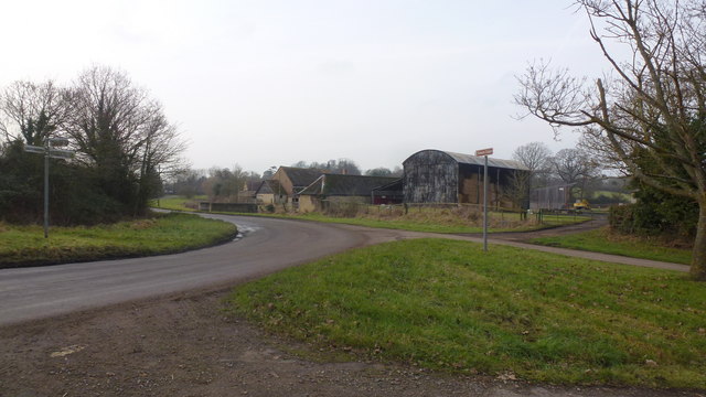
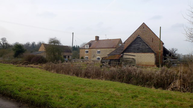
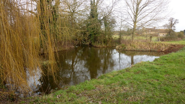
Madam's Pool is a picturesque freshwater lake located in Gloucestershire, England. Covering an area of approximately 3 acres, it is a popular destination for nature enthusiasts and locals alike. The pool is surrounded by lush greenery and offers a tranquil setting for visitors to enjoy.

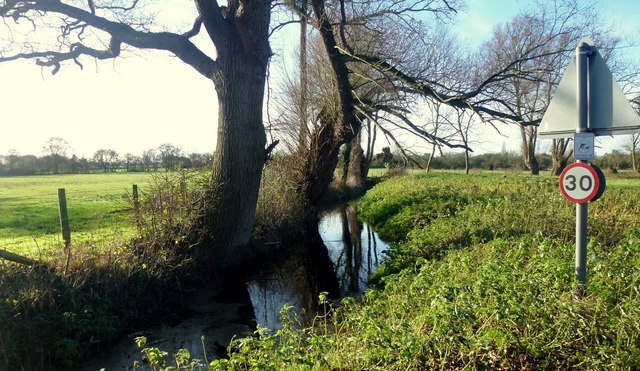
The lake, also known as a pool or pond, is fed by several natural springs, ensuring a constant flow of fresh water. This contributes to the pool's crystal-clear appearance, which adds to its allure. The water is relatively shallow, with an average depth of around 3 to 4 meters, making it suitable for various recreational activities.

Surrounding the pool, there is a diverse ecosystem that includes a freshwater marsh. This marshland provides a habitat for numerous plant and animal species, adding to the pool's ecological value. Visitors can observe a variety of waterfowl, such as ducks and swans, as well as other wildlife that call the pool home.

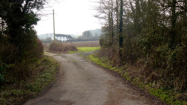
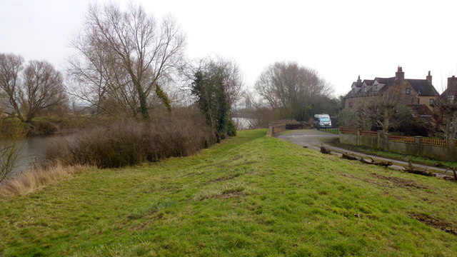
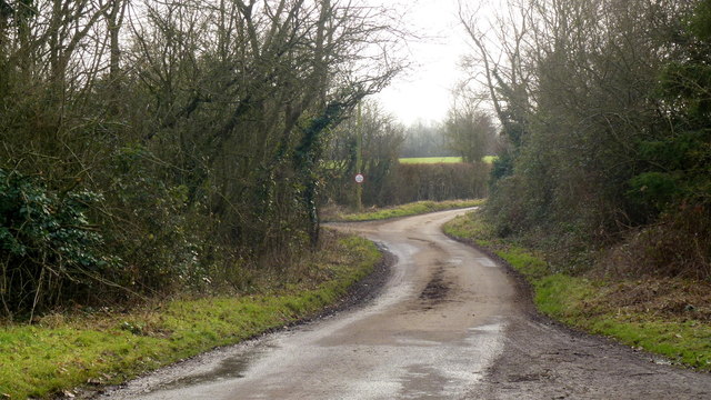
Madam's Pool offers several amenities to enhance visitors' experience. There are well-maintained walking trails that wind around the pool, allowing visitors to explore the area's natural beauty. Additionally, there are picnic spots and benches dotted along the shoreline, providing a perfect spot for a leisurely meal or rest.

Overall, Madam's Pool is a delightful destination for nature lovers seeking a peaceful retreat. Its scenic beauty, diverse ecosystem, and recreational opportunities make it an ideal spot for a day trip or a leisurely stroll in the heart of Gloucestershire.

If you have any feedback on the listing, please let us know in the comments section below.
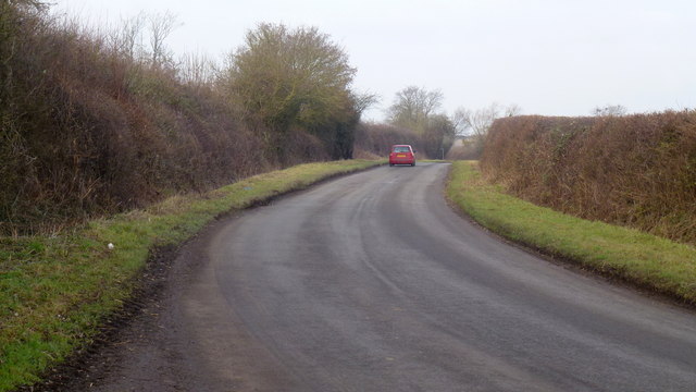
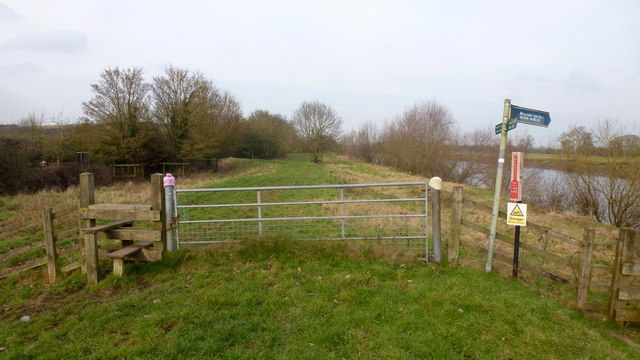
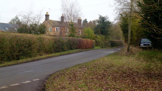
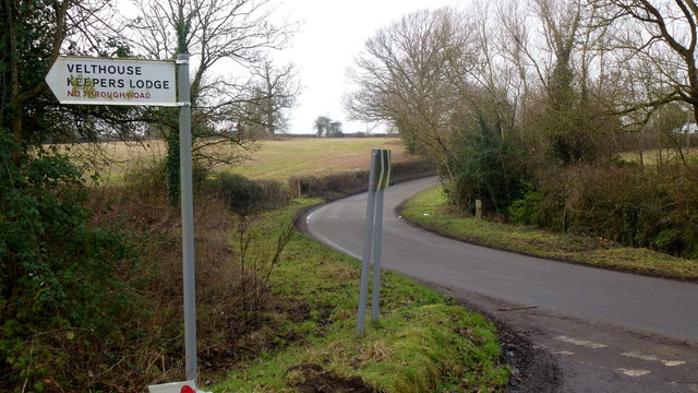
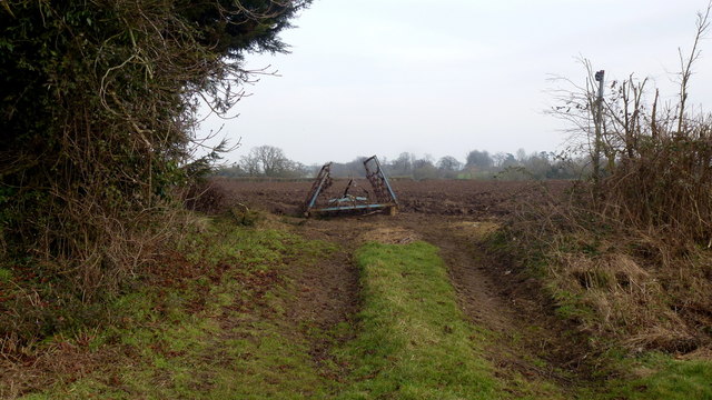
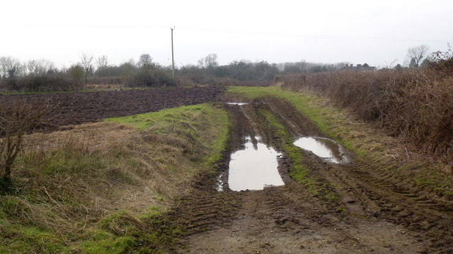
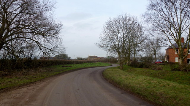
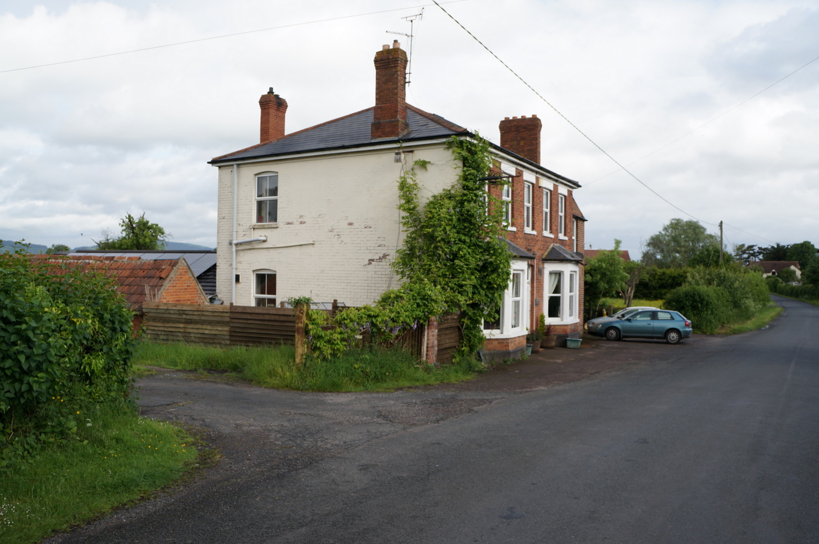
Madam's Pool Images

Images are sourced within 2km of 51.835861/-2.3307646 or Grid Reference SO7715. Thanks to Geograph Open Source API. All images are credited.

Same gate, different sign, similar meaning Following up my last visit exactly five years ago see <a href="https://www.geograph.org.uk/photo/2213364">SO7816 : Bull in field?</a>.
Same gate, different sign, similar meaning
Following up my last visit exactly five years ago see SO7816 : Bull in field?.
Drain at Calcott's Green Edge of the Severn flood plain.
Drain at Calcott's Green
Edge of the Severn flood plain.
Calcott's Green The houses on the right appear to be just above the flood plain to the left.
Calcott's Green
The houses on the right appear to be just above the flood plain to the left.
Church Lane, Minsterworth
Track and footpath to Brookfield House The house can be seen in the distance.
Track and footpath to Brookfield House
The house can be seen in the distance.
Elmore Lane This road joins up the scattered farms and houses of the community within a big bend of the River Severn.
Elmore Lane
This road joins up the scattered farms and houses of the community within a big bend of the River Severn.
Severn Way LDF at Weir Green The path follows the embankment north, downstream.
Some wag has turned the sign to Elmore Back directly towards the river.
Severn Way LDF at Weir Green
The path follows the embankment north, downstream. Some wag has turned the sign to Elmore Back directly towards the river.
Looking across the Severn from Weir Green Highlay or Highley House is the ruin on the opposite bank.
Looking across the Severn from Weir Green
Highlay or Highley House is the ruin on the opposite bank.
Severn Way LDF at Weir Green Looking south, upstream, alongside houses just above the flood plain.
Severn Way LDF at Weir Green
Looking south, upstream, alongside houses just above the flood plain.
Elmore Lane at Weir Lane junction Looking west towards Elmore Farm.
Elmore Lane at Weir Lane junction
Looking west towards Elmore Farm.
Elmore Farm Plenty of barns for conversion here.
Elmore Farm
Plenty of barns for conversion here.
Ponds at Elmore Elmore Farm in the background. A willow to the left.
Ponds at Elmore
Elmore Farm in the background. A willow to the left.
Dead end lane to Velthouse A branch to the left heads south-east to Keeper's Lodge.
Dead end lane to Velthouse
A branch to the left heads south-east to Keeper's Lodge.
Kenton Green, Elmore, 1 By the junction with Velthouse Lane, looking east towards Gloucester.
Kenton Green, Elmore, 1
By the junction with Velthouse Lane, looking east towards Gloucester.
Kenton Green, Elmore, 2 Looking west towards Elmore church.
Kenton Green, Elmore, 2
Looking west towards Elmore church.
Footpath at Farley Corner. 1 The cultivator has been left in place ready for the next farming operation?
The path here heads east towards Elmore Court.
Footpath at Farley Corner. 1
The cultivator has been left in place ready for the next farming operation? The path here heads east towards Elmore Court.
Footpath at Farley Corner. 2 Path heads generally south towards Velthouse.
Footpath at Farley Corner. 2
Path heads generally south towards Velthouse.
Farley Corner Heads west towards Church Farm at Farley's End.
Farley Corner
Heads west towards Church Farm at Farley's End.
Show me another place!

Madam's Pool is located at Grid Ref: SO7715 (Lat: 51.835861, Lng: -2.3307646)

Administrative County: Gloucestershire

District: Stroud

Police Authority: Gloucestershire

What 3 Words

///buns.final.atom. Near Huntley, Gloucestershire

Related Wikis

Elmore, Gloucestershire

For other places with the same name, see Elmore (disambiguation). Elmore is a village and civil parish, in the Stroud district of Gloucestershire, England...

Severn bore

The Severn bore is a tidal bore seen on the tidal reaches of the River Severn in south western England. It is formed when the rising tide moves into the...

Minsterworth

Minsterworth is a village in Gloucestershire, England. It lies on the border of the City of Gloucester, on the north bank of the River Severn (effectively...

Oakle Street railway station

Oakle Street railway station served the village of Oakle Street, Gloucestershire, England from 1851 to 1964 on the Gloucester-Newport line. == History... ==

Oakle Street

Oakle Street is a village in Gloucestershire, England. == External links == Media related to Oakle Street at Wikimedia Commons Churcham Village Website...

Walmore Common

Walmore Common (grid reference SO740162 & grid reference SO745150) is a 57.78-hectare (142.8-acre) nature reserve on the flood-plain of the River Severn...

Churcham

Churcham is a small village and civil parish in the Forest of Dean District of Gloucestershire in England, located 4 miles (6.4 km) west of Gloucester...

Longney

Longney is a village on the River Severn 5 miles south-west of Gloucester, Gloucestershire, England, within the parish of Longney and Epney. The parish...

Nearby Amenities

Located within 500m of 51.835861,-2.3307646
Post Box
Collection Times: Mo-Fr 16:15; Sa 08:15; Su off
Drive Through: no
Operator: Royal Mail
Post Box Type: wall
Ref: GL2 11
Royal Cypher: VR
Royal Cypher Wikidata: Q33102356
Source: survey
Lat/Long: 51.8352323/-2.3318534
Farleys End
Is In: Gloucester, Gloucestershire, England, UK
Place: hamlet
Source: NPE
Lat/Long: 51.8359749/-2.3349255
Bus Stop
Church Farm
Naptan AtcoCode: 1600GLS1023
Naptan Bearing: NW
Naptan CommonName: Church Farm
Naptan NaptanCode: gloatdmt
Naptan Street: Elmore Rd
Naptan Verified: no
Source: naptan_import
Lat/Long: 51.8349795/-2.3316997
Bus Stop
Church Farm
Naptan AtcoCode: 1600GLS1024
Naptan Bearing: SE
Naptan CommonName: Church Farm
Naptan NaptanCode: gloatdmj
Naptan Street: Elmore Rd
Naptan Verified: no
Source: naptan_import
Lat/Long: 51.8351412/-2.3317589
Bus Stop
Kenton Green
Naptan AtcoCode: 1600GLS1025
Naptan Bearing: N
Naptan CommonName: Kenton Green
Naptan NaptanCode: gloatdwg
Naptan Street: Longney Rd
Naptan Verified: no
Source: naptan_import
Lat/Long: 51.8326352/-2.327619
Bus Stop
Kenton Green
Naptan AtcoCode: 1600GLS1026
Naptan Bearing: S
Naptan CommonName: Kenton Green
Naptan NaptanCode: gloatdwj
Naptan Street: Longney Rd
Naptan Verified: no
Source: naptan_import
Lat/Long: 51.8329772/-2.3275199
Pleasure Farm
Landuse: farm
Note Retag: CS #48756035
Source: OS_OpenData_StreetView
Lat/Long: 51.8341935/-2.3340684
Barrier: stile
Source: survey
Lat/Long: 51.8333167/-2.3357554
Barrier: stile
Source: survey
Lat/Long: 51.8333088/-2.3356964
Power: pole
Lat/Long: 51.8326325/-2.3272107
Power: pole
Source: Bing
Lat/Long: 51.8326764/-2.3277846
Power: pole
Lat/Long: 51.8329513/-2.3290742
Power: pole
Source: Bing
Lat/Long: 51.8325878/-2.3265776
Barrier: stile
Material: wood
Stile: stepover
Lat/Long: 51.8336414/-2.3339814
The data included in this document is from www.openstreetmap.org. The data is made available under ODbL.

Have you been to Madam's Pool?

Leave your review of Madam's Pool below (or comments, questions and feedback).