British Camp Reservoir
Lake, Pool, Pond, Freshwater Marsh in Worcestershire Malvern Hills
England
British Camp Reservoir
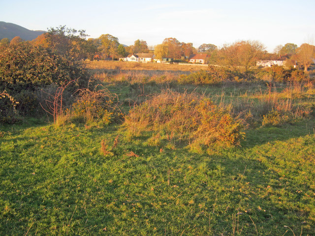
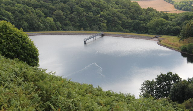
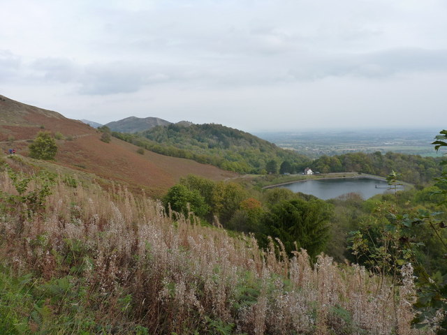
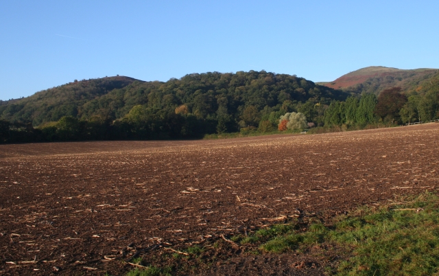
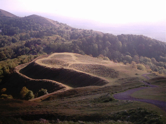
British Camp Reservoir, also known as British Camp Pool, is a man-made freshwater reservoir situated in Worcestershire, England. Covering an area of approximately 14 acres, it is nestled within the stunning Malvern Hills, a designated Area of Outstanding Natural Beauty.
The reservoir was constructed in the late 19th century as a drinking water supply for the nearby town of Malvern. It is fed by a natural spring and is maintained by the Severn Trent Water company. The calm waters of British Camp Reservoir reflect the picturesque surrounding landscape, making it a popular spot for nature enthusiasts and photographers.
Surrounded by lush vegetation, the reservoir is home to a variety of plant and animal species. The freshwater marshes that border the reservoir provide a habitat for a diverse range of bird species, including mallards, coots, and herons. The surrounding woodland attracts woodland birds such as great spotted woodpeckers and chiffchaffs.
The reservoir offers a tranquil setting for recreational activities such as fishing and boating. Anglers can find a variety of fish species in its waters, including carp, pike, and perch. The reservoir is also a great place for leisurely walks, picnics, and wildlife spotting.
With its stunning natural beauty and abundant wildlife, British Camp Reservoir is a cherished destination for both locals and visitors. Its serene atmosphere and scenic surroundings make it an ideal location for those seeking a peaceful escape in the heart of Worcestershire's countryside.
If you have any feedback on the listing, please let us know in the comments section below.
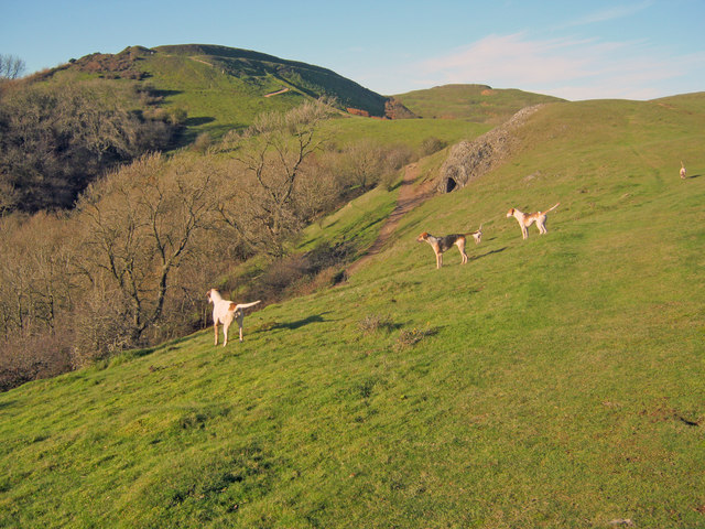
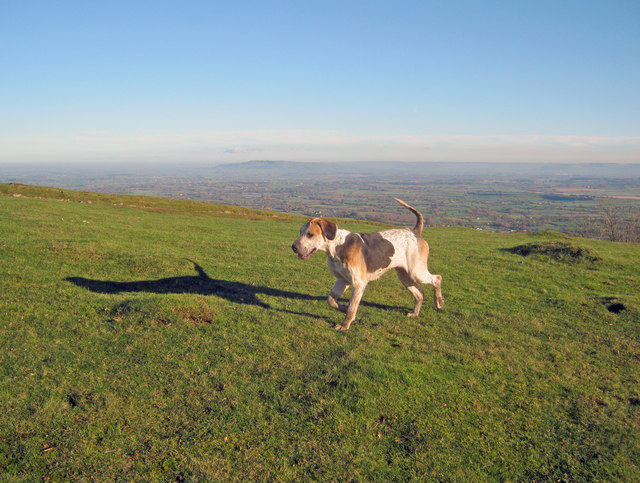
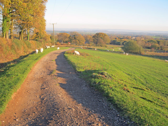
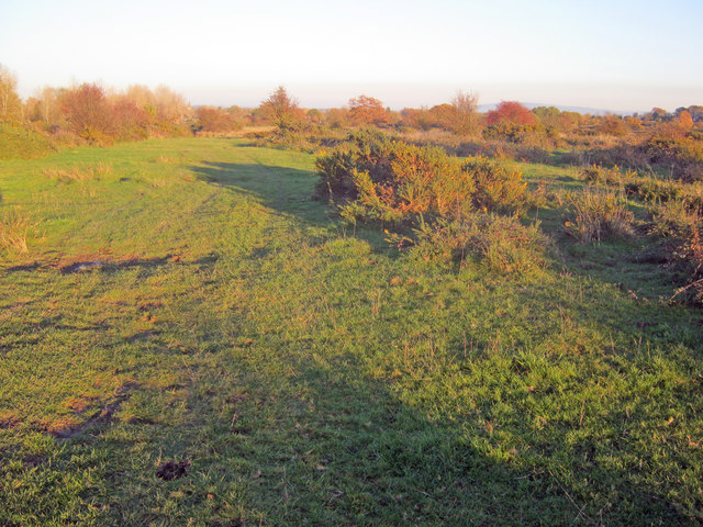
British Camp Reservoir Images
Images are sourced within 2km of 52.056913/-2.3452305 or Grid Reference SO7639. Thanks to Geograph Open Source API. All images are credited.


British Camp Reservoir is located at Grid Ref: SO7639 (Lat: 52.056913, Lng: -2.3452305)
Administrative County: Worcestershire
District: Malvern Hills
Police Authority: West Mercia
What 3 Words
///pipe.defaults.undivided. Near Ledbury, Herefordshire
Nearby Locations
Related Wikis
Tinkers Hill
Tinkers Hill is situated in the range of Malvern Hills that runs about 13 kilometres (8 mi) north-south along the Herefordshire-Worcestershire border....

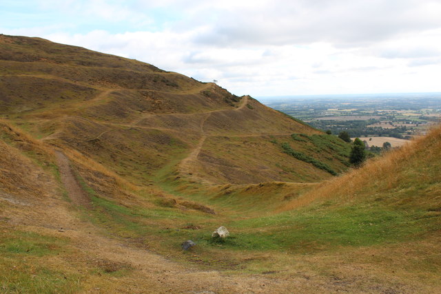
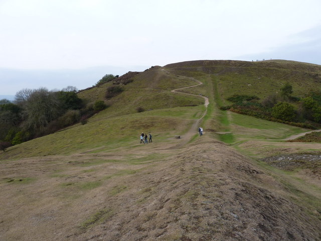
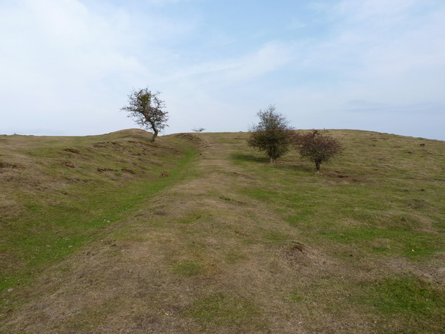
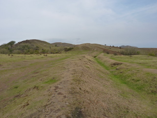
British Camp
British Camp is an Iron Age hill fort located at the top of Herefordshire Beacon in the Malvern Hills. The hill fort is protected as a Scheduled Ancient...
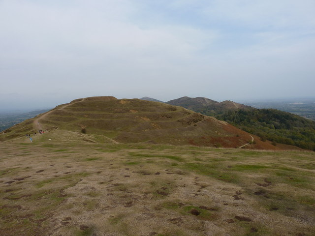
Herefordshire Beacon
The Herefordshire Beacon is one of the highest peaks of the Malvern Hills. It is surrounded by a British Iron Age hill fort earthwork known as British...

Little Malvern
Little Malvern is a small village and civil parish in Worcestershire, England. It is situated on the lower slopes of the Malvern Hills, south of Malvern...
Nearby Amenities
Located within 500m of 52.056913,-2.3452305Have you been to British Camp Reservoir?
Leave your review of British Camp Reservoir below (or comments, questions and feedback).