Abbot's Pool

Lake, Pool, Pond, Freshwater Marsh in Shropshire

England

Abbot's Pool

Hinnington Grange Seen from across Wesley Brook
Hinnington Grange Credit: John Sparshatt

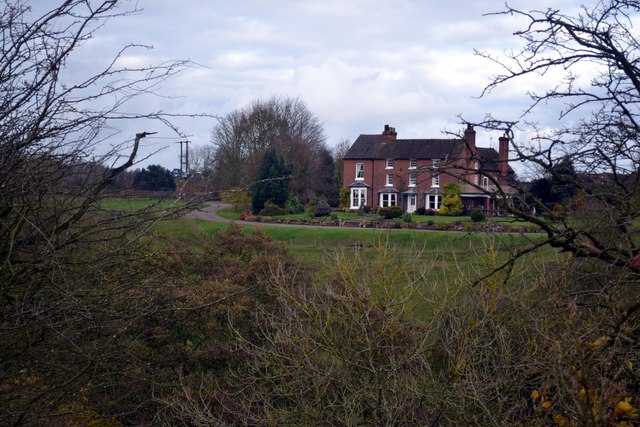
Abbot's Pool is a picturesque freshwater lake located in the county of Shropshire, England. Nestled amidst scenic surroundings, it is a popular destination for nature lovers and outdoor enthusiasts. The pool is situated within the verdant landscape of the Shropshire Hills Area of Outstanding Natural Beauty, adding to its allure.

With a surface area of approximately 3 hectares, Abbot's Pool offers a tranquil retreat for visitors seeking peace and serenity. The pool is fringed by lush vegetation and woodland, providing a diverse habitat for various flora and fauna. The surrounding area is characterized by rolling hills and meadows, enhancing the overall charm and beauty of the location.

The pool itself boasts crystal-clear freshwater, making it an ideal spot for swimming and paddling during the warmer months. It is also a haven for wildlife, attracting a wide array of bird species, including kingfishers, herons, and ducks. Nature enthusiasts can often spot these feathered creatures gracefully gliding across the water's surface or perched on the branches of overhanging trees.

Abbot's Pool is a popular destination for outdoor activities such as picnicking, fishing, and leisurely walks. The surrounding trails offer breathtaking views of the countryside, making it a favorite spot for hikers and walkers. Additionally, the pool's tranquil ambiance and idyllic setting make it an excellent location for photography and capturing the beauty of nature.

Overall, Abbot's Pool in Shropshire is a serene and enchanting freshwater lake, offering visitors a peaceful escape from the hustle and bustle of everyday life. Its natural beauty, diverse wildlife, and recreational opportunities make it a must-visit destination for those seeking a connection with nature.

If you have any feedback on the listing, please let us know in the comments section below.
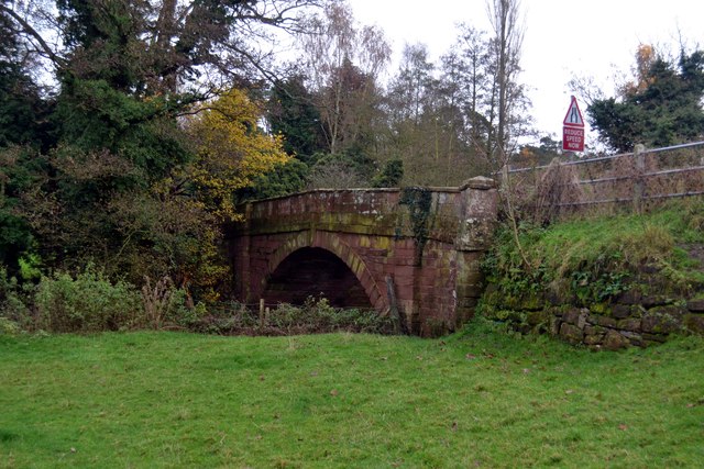
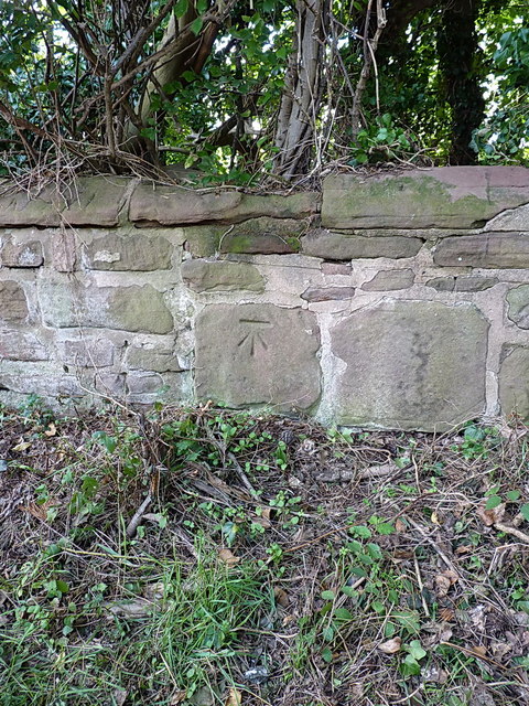
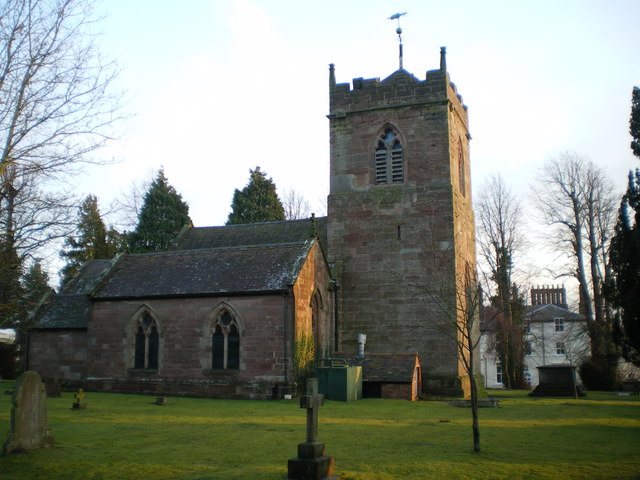
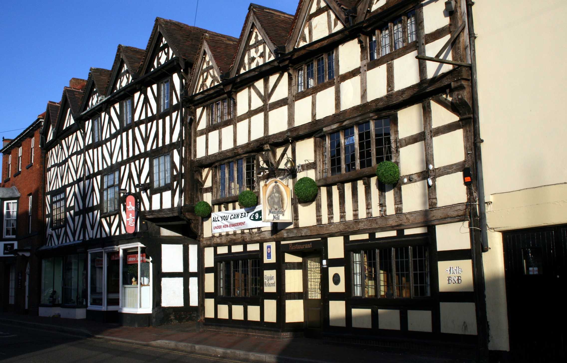
Abbot's Pool Images

Images are sourced within 2km of 52.637817/-2.3537049 or Grid Reference SJ7604. Thanks to Geograph Open Source API. All images are credited.

Hinnington Grange Seen from across Wesley Brook
Hinnington Grange
Seen from across Wesley Brook
Bridge over The River Worfe at Ryton The route of the Monarch’s Way long distance footpath passes close to this bridge.
Bridge over The River Worfe at Ryton
The route of the Monarch’s Way long distance footpath passes close to this bridge.
OS benchmark - Brimstree Hill, Longmeadow OS cutmark in the brickwork of an outbuilding behind the house formerly known as Longmeadow (it's now Fairways, as it was once the clubhouse of Shifnal Golf Course before that moved to a new course on the north side of the town.) The benchmark was originally levelled at 103.546m above Ordnance Datum Newlyn.
OS benchmark - Brimstree Hill, Longmeadow
OS cutmark in the brickwork of an outbuilding behind the house formerly known as Longmeadow (it's now Fairways, as it was once the clubhouse of Shifnal Golf Course before that moved to a new course on the north side of the town.) The benchmark was originally levelled at 103.546m above Ordnance Datum Newlyn.
OS benchmark - Park Lane, near lodge house OS cutmark in a stone wall roughly 40m north of a lodge house to Evelith Manor. The mark as originally levelled at 82.656m above Ordnance Datum Newlyn.
OS benchmark - Park Lane, near lodge house
OS cutmark in a stone wall roughly 40m north of a lodge house to Evelith Manor. The mark as originally levelled at 82.656m above Ordnance Datum Newlyn.
OS benchmark - Plowden House OS cutmark in the brickwork of the farmhouse at Plowden House, on the NW face near the N angle. Originally levelled at 76.267m above Ordnance Datum Newlyn.
OS benchmark - Plowden House
OS cutmark in the brickwork of the farmhouse at Plowden House, on the NW face near the N angle. Originally levelled at 76.267m above Ordnance Datum Newlyn.
OS benchmark - The Old Pig Barn, Park Lane OS cutmark in the bricks of a converted farm outbuilding at Sands Farm. Originally levelled at 79.382m above Ordnance Datum Newlyn.
OS benchmark - The Old Pig Barn, Park Lane
OS cutmark in the bricks of a converted farm outbuilding at Sands Farm. Originally levelled at 79.382m above Ordnance Datum Newlyn.
OS benchmark - Ryton Bridge OS cutmark on the north parapet of the bridge over the River Worfe just west of Ryton. Originally levelled at 57.796m above Ordnance Datum Newlyn.
OS benchmark - Ryton Bridge
OS cutmark on the north parapet of the bridge over the River Worfe just west of Ryton. Originally levelled at 57.796m above Ordnance Datum Newlyn.
OS Flush Bracket 10561 - Ryton OS flush bracket affixed to the wall of Mead Cottage in Ryton. Originally levelled at 57.01m above Ordnance Datum Newlyn.
OS Flush Bracket 10561 - Ryton
OS flush bracket affixed to the wall of Mead Cottage in Ryton. Originally levelled at 57.01m above Ordnance Datum Newlyn.
OS benchmark - Ryton church OS benchmark on the W face, near the SW angle of the church tower. Originally levelled at 73.931m above Ordnance Datum Newlyn.
OS benchmark - Ryton church
OS benchmark on the W face, near the SW angle of the church tower. Originally levelled at 73.931m above Ordnance Datum Newlyn.
OS benchmark - Ryton, garage A rather indistinct OS cutmark in the bricks of a garage/outbuilding on the north side of the lane leading from Ryton to Atchley. This was levelled at a height of 75.406m above Ordnance Datum Newlyn.
OS benchmark - Ryton, garage
A rather indistinct OS cutmark in the bricks of a garage/outbuilding on the north side of the lane leading from Ryton to Atchley. This was levelled at a height of 75.406m above Ordnance Datum Newlyn.
OS benchmark - Hinnington Grange cottage An OS cutmark (or, rather more accurately, half a cutmark) on the wall of one of the cottages at the entrance to Hinnington Grange. This was levelled at 76.858m above Ordnance Datum Newlyn.
The current owner of the cottage had never noticed it, unsurprisingly, as it's pretty much hidden behind the timber post of a gate screwed to the house wall. Unprompted, and after a discussion about the use and historic value of the benchmark, he offered to cut away the offending piece of timber. I have a feeling this will reveal that the previous owner drilled a screwhole right into the business part of the cutmark.
OS benchmark - Hinnington Grange cottage
An OS cutmark (or, rather more accurately, half a cutmark) on the wall of one of the cottages at the entrance to Hinnington Grange. This was levelled at 76.858m above Ordnance Datum Newlyn. The current owner of the cottage had never noticed it, unsurprisingly, as it's pretty much hidden behind the timber post of a gate screwed to the house wall. Unprompted, and after a discussion about the use and historic value of the benchmark, he offered to cut away the offending piece of timber. I have a feeling this will reveal that the previous owner drilled a screwhole right into the business part of the cutmark.
OS benchmark - Atchley Cottage An OS cutmark on the north face of a cottage at the crossroads; originally levelled in 1959 at 74.495m above Ordnance Datum Newlyn.
OS benchmark - Atchley Cottage
An OS cutmark on the north face of a cottage at the crossroads; originally levelled in 1959 at 74.495m above Ordnance Datum Newlyn.
Farmland by the railway
Ruckley Sidings Farm
Ridge and Furrow Rich Shropshire farmland, typical of the area, to the west of RAF Cosford.
Ridge and Furrow
Rich Shropshire farmland, typical of the area, to the west of RAF Cosford.
Ryton Hall
Ryton Hall
Cottage and Church, Ryton The church, unusually, is not dedicated to any particular Saint
Cottage and Church, Ryton
The church, unusually, is not dedicated to any particular Saint
Cosford Pumping Station Now Severn Trent but was Wolverhampton Corporation when built. This contained Hathorn, Davey differential steam pumping engines. The chimney base still stands. I first saw this from a bus a quarter of a century ago when it was alongside the main road. It is now in a bypassed loop and is a very quiet and peaceful place.
Cosford Pumping Station
Now Severn Trent but was Wolverhampton Corporation when built. This contained Hathorn, Davey differential steam pumping engines. The chimney base still stands. I first saw this from a bus a quarter of a century ago when it was alongside the main road. It is now in a bypassed loop and is a very quiet and peaceful place.
Show me another place!

Abbot's Pool is located at Grid Ref: SJ7604 (Lat: 52.637817, Lng: -2.3537049)

Unitary Authority: Shropshire

Police Authority: West Mercia

What 3 Words

///surfer.lamps.chucked. Near Ryton, Shropshire

Related Wikis

Ryton, Shropshire

Ryton is a village and civil parish in Shropshire, England, in the district of Bridgnorth. It lies about one mile north north west of Beckbury. The civil...

Caynton Caves

The Caynton Caves are a series of man-made underground chambers in the grounds of Caynton Hall, near Beckbury, Shropshire, England. Their original purpose...

Cosford, Shropshire

Cosford is a village in Shropshire, England. It is located on the A41 road, which is itself just south of junction 3 on the M54 motorway. The village is...

Beckbury

Beckbury is a village and civil parish in Shropshire, England. Beckbury had a population of 327 according to the 2001 census, increasing to 340 at the...

Royal Air Force Museum Cosford

The Royal Air Force Museum Cosford, located in Cosford in Shropshire, is a free museum dedicated to the history of aviation and the Royal Air Force in...

Shifnal

Shifnal () is a market town and civil parish in Shropshire, England, about 4 miles (6 km) east of Telford, 17 miles (27 km) east of Shrewsbury and 13 miles...

Shifnal railway station

Shifnal railway station is a railway station which serves the town of Shifnal in Shropshire, England. The station is managed by West Midlands Trains, who...

Shifnal Rural District

Shifnal was a rural district in Shropshire, England from 1894 to 1974. It was created from the Shifnal rural sanitary district by the Local Government...

Nearby Amenities

Located within 500m of 52.637817,-2.3537049
The data included in this document is from www.openstreetmap.org. The data is made available under ODbL.

Have you been to Abbot's Pool?

Leave your review of Abbot's Pool below (or comments, questions and feedback).