Black Pot of Ardtannes

Lake, Pool, Pond, Freshwater Marsh in Aberdeenshire

Scotland

Black Pot of Ardtannes

Port Elphinstone Stone Circle Three standing stones on the south side of Port Elphinstone.
Port Elphinstone Stone Circle Credit: Scott Cormie

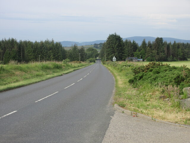
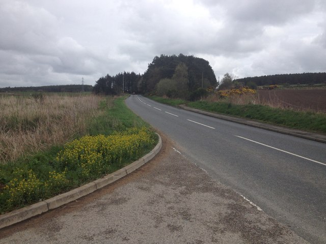
Located in Aberdeenshire, Scotland, the Black Pot of Ardtannes is a stunning freshwater marsh that encompasses a lake, pool, and pond. This natural wonder boasts breathtaking scenery and abundant biodiversity, making it a popular destination for nature enthusiasts and bird watchers.

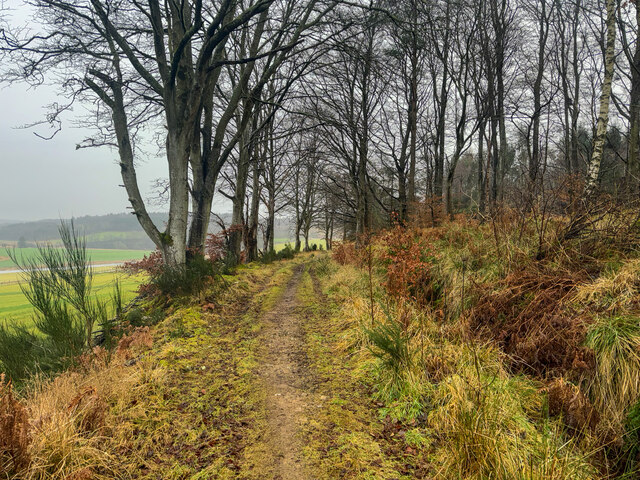
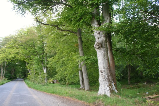
The Black Pot of Ardtannes is surrounded by lush greenery and rolling hills, creating a picturesque backdrop for visitors. The lake, with its calm and crystal-clear waters, is fed by small streams running off the nearby mountains. It provides a serene setting for boating, fishing, and leisurely walks along its banks.

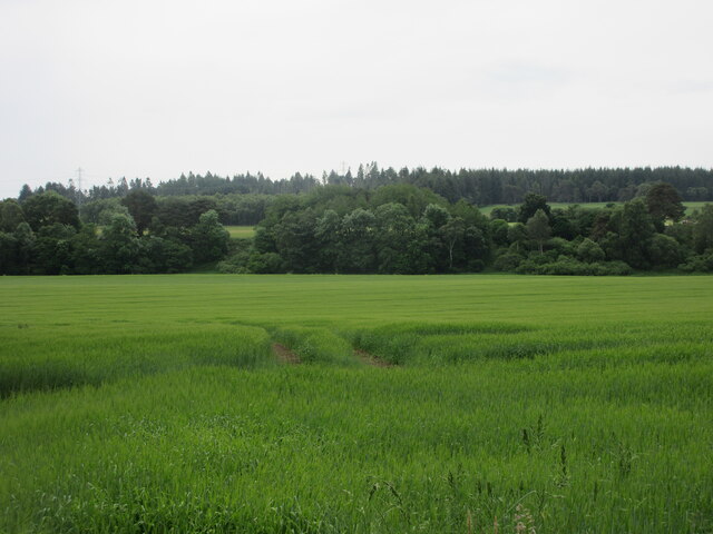
The pool, nestled within the marshland, is a shallow body of water teeming with aquatic plants and wildlife. It serves as an important habitat for various species of birds, amphibians, and insects. Bird watchers flock to the area to observe rare and migratory species, such as the Eurasian teal, common snipe, and lapwing, which can be seen nesting and foraging in the surrounding reeds.

The pond, although smaller in size, is equally captivating. It is home to a diverse range of plant life, including water lilies, rushes, and sedges. Frogs, toads, and newts can also be spotted in and around the pond, making it a delightful spot for nature lovers of all ages.

The Black Pot of Ardtannes offers a tranquil escape from the hustle and bustle of everyday life. Its natural beauty and thriving ecosystem make it a valuable site for conservation efforts, ensuring the preservation of this unique freshwater marsh for generations to come.

If you have any feedback on the listing, please let us know in the comments section below.

Black Pot of Ardtannes Images

Images are sourced within 2km of 57.268142/-2.3988271 or Grid Reference NJ7619. Thanks to Geograph Open Source API. All images are credited.

Port Elphinstone Stone Circle Three standing stones on the south side of Port Elphinstone.
Port Elphinstone Stone Circle
Three standing stones on the south side of Port Elphinstone.
Triangulation pillar near Bogfur Roadside trig pillar near Bogfur, west of Thainstone.
Triangulation pillar near Bogfur
Roadside trig pillar near Bogfur, west of Thainstone.
B993 heading for Kemnay The B993 near Pine Lodge, heading for Kemnay from Inverurie.
B993 heading for Kemnay
The B993 near Pine Lodge, heading for Kemnay from Inverurie.
Field north of the River Don Looking southwards to fields on the north side of the River Don near Waterside.
Field north of the River Don
Looking southwards to fields on the north side of the River Don near Waterside.
Broomend of Crichie The two more distant stones are all that remains of an old stone  henge. The stone nearest the camera is a Pictish carved stone located in the centre of the circle - but not in its authentic position;  it was deliberately installed  there during the 19th century.

The whole area in which this and other stones are sited is  a rather desolate waste land given over to Rosebay Willowherb.
Broomend of Crichie
The two more distant stones are all that remains of an old stone henge. The stone nearest the camera is a Pictish carved stone located in the centre of the circle - but not in its authentic position; it was deliberately installed there during the 19th century. The whole area in which this and other stones are sited is a rather desolate waste land given over to Rosebay Willowherb.
Standing stone off Mill Road Sited in  a rather desolate area of wasteland given over to Rosebay Willowherb.
Standing stone off Mill Road
Sited in a rather desolate area of wasteland given over to Rosebay Willowherb.
Seat with a view
Seat with a view
Woodland paths
Woodland paths
Treelined Road Trees by the Burnhervie road.
Treelined Road
Trees by the Burnhervie road.
Thainstone House Hotel Thainstone House Hotel a popular venue for weddings.
Thainstone House Hotel
Thainstone House Hotel a popular venue for weddings.
Thainstone House Thainstone House Hotel viewed from the gardens.
Thainstone House
Thainstone House Hotel viewed from the gardens.
Flats The ground already looks parched in the very dry March 2012 weather.  On the horizon is Upper Kinkell farm, on the other side of the Don valley.
Flats
The ground already looks parched in the very dry March 2012 weather. On the horizon is Upper Kinkell farm, on the other side of the Don valley.
Broomend of Crichie A bronze-age henge with stones surrounded by a near circular ditch.
It is believed there were 6 stones here; now only two of the originals (the two on the left) remain.
The stone on the right is a pictish symbol stone thought to have been relocated here recently.
Photograph taken from the ditch.
Broomend of Crichie
A bronze-age henge with stones surrounded by a near circular ditch. It is believed there were 6 stones here; now only two of the originals (the two on the left) remain. The stone on the right is a pictish symbol stone thought to have been relocated here recently. Photograph taken from the ditch.
B993 near Inverurie
B993 near Inverurie
Tombstone and inscriptions Tombstone and inscriptions in St. Apolinaris' Chapel
Tombstone and inscriptions
Tombstone and inscriptions in St. Apolinaris' Chapel
A96 flyover Looking down on the main route from Aberdeen to Inverness. Taken on a flyover close to the town of Inverurie
A96 flyover
Looking down on the main route from Aberdeen to Inverness. Taken on a flyover close to the town of Inverurie
Standing at the side of a road Standing stone and circle at the side of a roundabout. I suspect that it is not ancient.
Standing at the side of a road
Standing stone and circle at the side of a roundabout. I suspect that it is not ancient.
Storm Arwen damage Another unfortunate tree that fell with the force of storm Arwen.
Storm Arwen damage
Another unfortunate tree that fell with the force of storm Arwen.
Show me another place!

Black Pot of Ardtannes is located at Grid Ref: NJ7619 (Lat: 57.268142, Lng: -2.3988271)

Unitary Authority: Aberdeenshire

Police Authority: North East

What 3 Words

///loitering.extremely.notice. Near Inverurie, Aberdeenshire

Related Wikis

Inverurie Hospital

Inverurie Hospital is a small hospital in Inverurie, Aberdeenshire, Scotland. It is managed by NHS Grampian. == History == The hospital has its origins...

Inverurie

Inverurie (Scottish Gaelic: Inbhir Uraidh or Inbhir Uaraidh, 'mouth of the River Ury') is a town in Aberdeenshire, Scotland at the confluence of the rivers...

Aberdeenshire Canal

The Aberdeenshire Canal was a waterway in Aberdeenshire, Scotland, designed by John Rennie, which ran from the port of Aberdeen to Port Elphinstone, Inverurie...

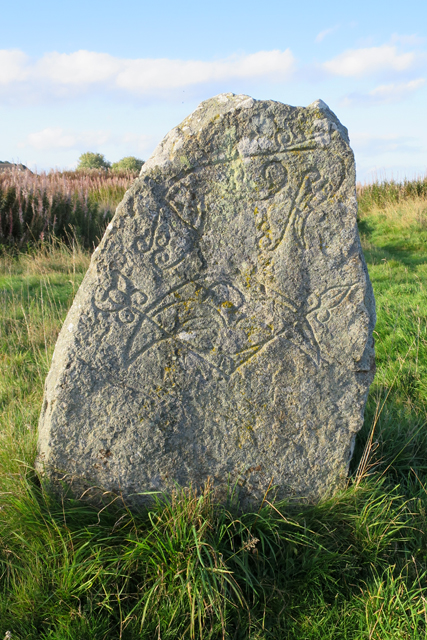
Broomend of Crichie stone

The Broomend of Crichie Stone is a class I Pictish stone that stands within a henge at Broomend of Crichie, Port Elphinstone, Inverurie, Aberdeenshire...

Nearby Amenities

Located within 500m of 57.268142,-2.3988271
Waterway: weir
Lat/Long: 57.2688969/-2.3955748
Design: barrel
Power: tower
Lat/Long: 57.2722427/-2.4013764
Design: barrel
Power: tower
Lat/Long: 57.2698406/-2.3994993
Design: barrel
Power: tower
Lat/Long: 57.2647083/-2.3954893
Design: barrel
Power: tower
Lat/Long: 57.266885/-2.39719
Power: pole
Lat/Long: 57.2692607/-2.406081
Power: pole
Lat/Long: 57.2687052/-2.4048847
Power: pole
Lat/Long: 57.2681454/-2.4037448
Power: pole
Lat/Long: 57.2675602/-2.4025659
Power: pole
Lat/Long: 57.2669627/-2.4013469
Power: pole
Lat/Long: 57.2663992/-2.4002096
Power: pole
Lat/Long: 57.2647501/-2.3993379
Power: pole
Lat/Long: 57.2640496/-2.3992722
Power: pole
Lat/Long: 57.264176/-2.3966408
Power: pole
Lat/Long: 57.2646377/-2.3969685
Power: pole
Lat/Long: 57.2656175/-2.3967577
Power: pole
Lat/Long: 57.266122/-2.3962045
Power: pole
Lat/Long: 57.2667508/-2.3956033
Power: pole
Lat/Long: 57.2673648/-2.394643
Power: pole
Lat/Long: 57.2679439/-2.3937182
Power: pole
Lat/Long: 57.2685692/-2.3927246
Power: pole
Lat/Long: 57.2694541/-2.3929125
Power: pole
Lat/Long: 57.270313/-2.393092
Power: pole
Lat/Long: 57.2707295/-2.3932005
Power: pole
Lat/Long: 57.2716663/-2.3940773
Power: pole
Lat/Long: 57.2724427/-2.3989923
Power: pole
Lat/Long: 57.2721713/-2.3980511
Power: pole
Lat/Long: 57.2718951/-2.3971099
Power: pole
Lat/Long: 57.2717691/-2.3965004
Power: pole
Lat/Long: 57.271643/-2.3959133
Power: pole
Lat/Long: 57.271849/-2.3980982
Power: pole
Lat/Long: 57.2717945/-2.3990394
Power: pole
Lat/Long: 57.2717509/-2.4000635
The data included in this document is from www.openstreetmap.org. The data is made available under ODbL.

Have you been to Black Pot of Ardtannes?

Leave your review of Black Pot of Ardtannes below (or comments, questions and feedback).