Betley Mere
Lake, Pool, Pond, Freshwater Marsh in Staffordshire Newcastle-under-Lyme
England
Betley Mere
Betley Mere, located in Staffordshire, England, is a picturesque freshwater marsh that encompasses a diverse range of aquatic habitats. Covering an area of approximately 18 hectares, the mere is a popular destination for nature enthusiasts and birdwatchers alike.
The mere itself is a shallow lake, characterized by its tranquil and serene atmosphere. Surrounded by lush vegetation and reed beds, it serves as a vital breeding ground and habitat for a plethora of bird species. Visitors to Betley Mere can expect to spot a variety of waterfowl, including ducks, geese, swans, and herons, which are attracted to the abundance of food and shelter provided by the wetland environment.
In addition to the lake, Betley Mere features a pool and a series of smaller ponds, each with its own unique characteristics. These smaller bodies of water are home to a diverse array of plant and animal life, adding to the overall biodiversity of the area. The combination of open water, shallow pools, and marshy areas creates a mosaic of habitats that support a wide range of species.
The freshwater marsh surrounding Betley Mere is teeming with life, from aquatic plants such as reeds and water lilies, to insects, amphibians, and small mammals. The marsh acts as a natural filter, helping to purify the water and maintain the ecological balance of the ecosystem.
Overall, Betley Mere is an idyllic and ecologically significant site, offering visitors the opportunity to explore and appreciate the beauty of a freshwater wetland habitat. Whether it's birdwatching, nature photography, or simply enjoying a peaceful stroll, Betley Mere provides a memorable and enriching experience for all who visit.
If you have any feedback on the listing, please let us know in the comments section below.
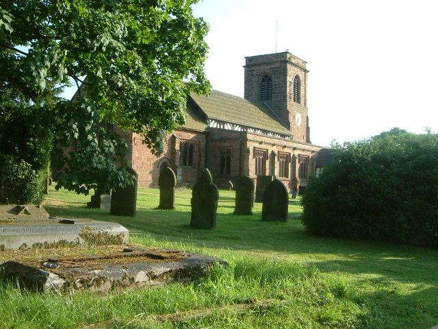
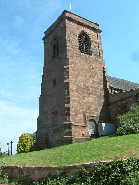
Betley Mere Images
Images are sourced within 2km of 53.028262/-2.3750537 or Grid Reference SJ7447. Thanks to Geograph Open Source API. All images are credited.


Betley Mere is located at Grid Ref: SJ7447 (Lat: 53.028262, Lng: -2.3750537)
Administrative County: Staffordshire
District: Newcastle-under-Lyme
Police Authority: Staffordshire
What 3 Words
///hasten.duet.thumbnail. Near Betley, Staffordshire
Nearby Locations
Related Wikis

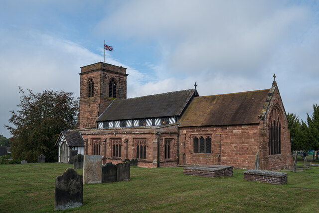
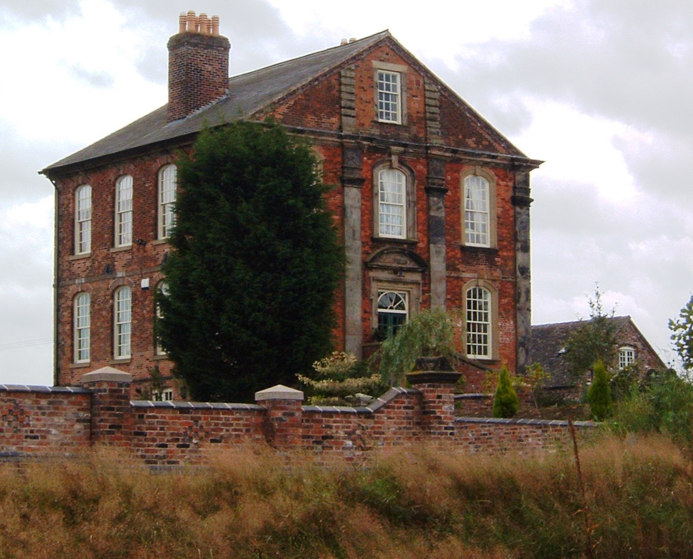
Betley Court
Betley Court is an 18th-century country house in the ancient village of Betley, near Newcastle-under-Lyme, Staffordshire. It is a Grade II* listed building...

Betley Road railway station
Betley Road was a station on the London and North Western Railway serving Betley, Staffordshire. It opened in 1875 and closed in 1945. == References... ==

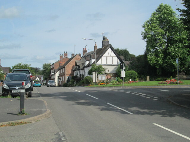
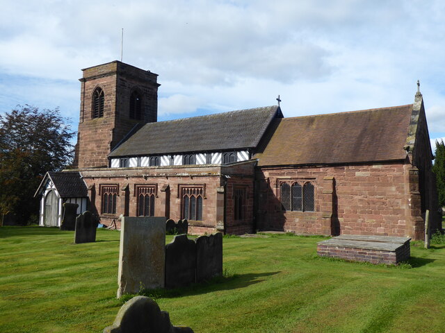
Betley
Betley is a village and civil parish in the borough of Newcastle-under-Lyme in Staffordshire, England, about halfway between the town of Newcastle-under...
Wrinehill
Wrinehill, also called Checkley cum Wrinehill, is a village in the north-west of Staffordshire on the A531 road lying adjacent to the southern border of...

Checkley cum Wrinehill
Checkley cum Wrinehill is a former civil parish, now in the parish of Doddington and District, in the unitary authority area of Cheshire East and the ceremonial...

Balterley Green
Balterley Green is a village in Staffordshire, England. The population at the 2011 population can be found under Balterley

Black Firs and Cranberry Bog
Black Firs and Cranberry Bog is a nature reserve of the Staffordshire Wildlife Trust, adjacent to Balterley Heath and about 1 mile (1.6 km) north of the...
Checkley Hall
Checkley Hall is a small country house in the parish of Doddington and District (until 2023 Checkley cum Wrinehill), in Cheshire, England. The house was...
Nearby Amenities
Located within 500m of 53.028262,-2.3750537Have you been to Betley Mere?
Leave your review of Betley Mere below (or comments, questions and feedback).