Blackleach Reservoir
Lake, Pool, Pond, Freshwater Marsh in Lancashire
England
Blackleach Reservoir
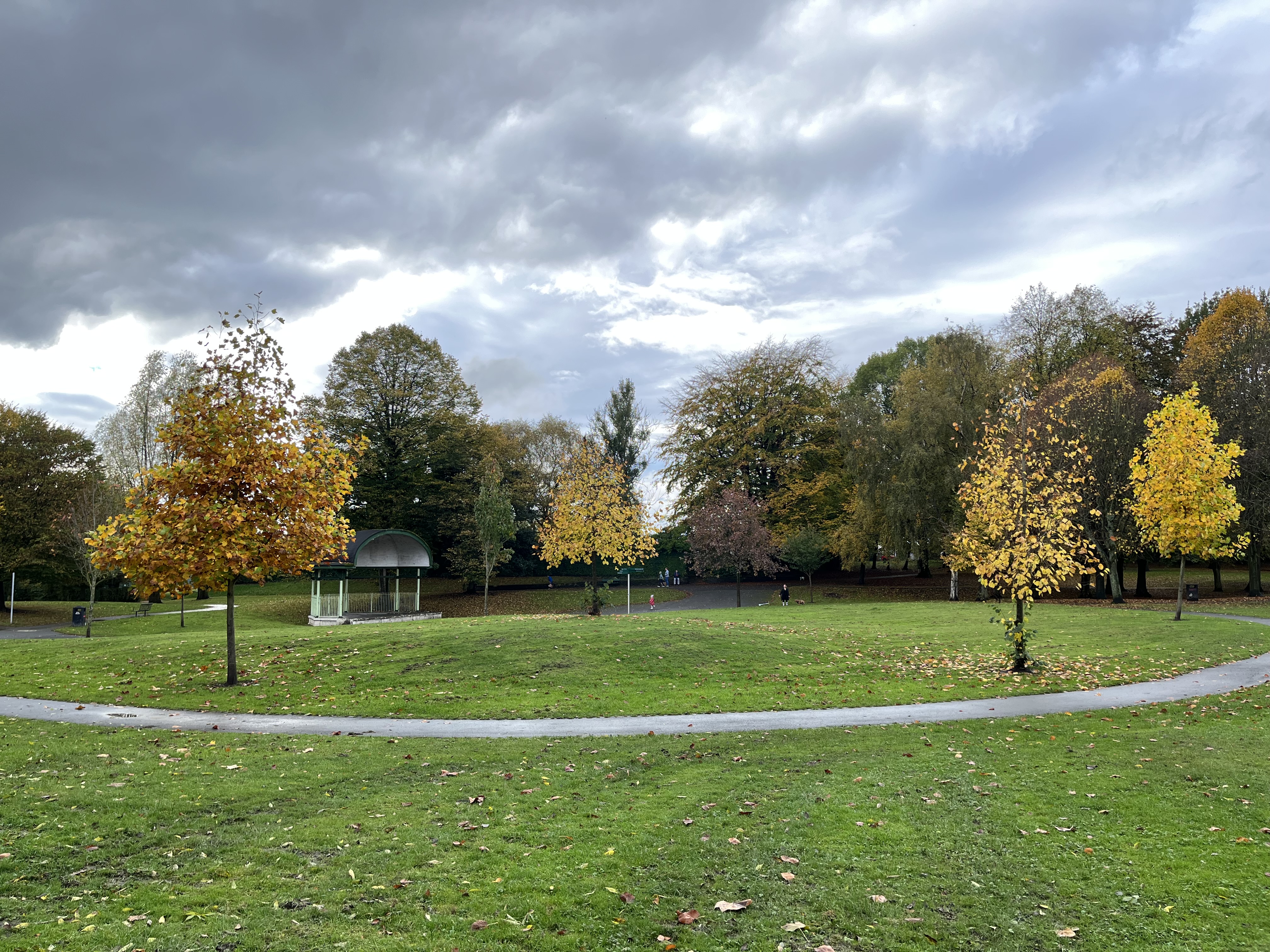
Blackleach Reservoir is a tranquil freshwater body located in Lancashire, England. Covering an area of approximately 50 acres, it is a popular destination for nature lovers and outdoor enthusiasts. The reservoir, also known as a lake, pool, pond, or freshwater marsh, is nestled within a picturesque landscape surrounded by lush greenery and rolling hills.
The reservoir is a man-made creation, constructed in the late 19th century to provide a reliable water supply to the nearby town of Bolton. It is fed by the River Irwell, which flows through its eastern side. The calm and serene waters of Blackleach Reservoir attract a diverse range of wildlife, making it a haven for birdwatchers and nature photographers. Visitors can spot numerous species of waterfowl, including ducks, geese, and swans, as well as a variety of other bird species.
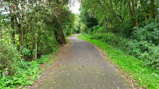
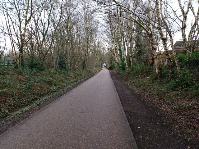
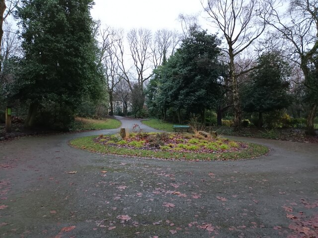
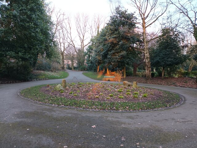
Surrounding the reservoir is a network of footpaths and trails, allowing visitors to explore the area and take in the stunning views. The reservoir is also home to a diverse range of flora, including reeds and grasses that thrive in the freshwater marsh environment. These provide habitat and food sources for a multitude of insects, frogs, and small mammals.
Blackleach Reservoir offers various recreational activities, including fishing and boating, with permits available for those interested in angling. The tranquil atmosphere and scenic surroundings make it an ideal spot for picnicking, dog walking, or simply enjoying a leisurely stroll. The site is well-maintained, with amenities such as parking facilities and visitor information available to enhance the visitor experience.
Overall, Blackleach Reservoir is a tranquil and picturesque freshwater body that offers a peaceful retreat for nature enthusiasts and a haven for wildlife in Lancashire.
If you have any feedback on the listing, please let us know in the comments section below.
Blackleach Reservoir Images
Images are sourced within 2km of 53.531143/-2.3964574 or Grid Reference SD7303. Thanks to Geograph Open Source API. All images are credited.

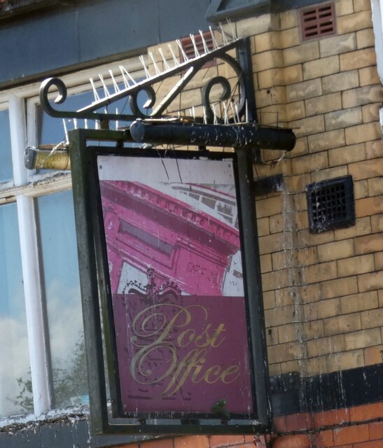


![Sign of the Black Horse Sign for the Black Horse [[[7294875]].](https://s1.geograph.org.uk/geophotos/07/29/49/7294957_d095f96d.jpg)


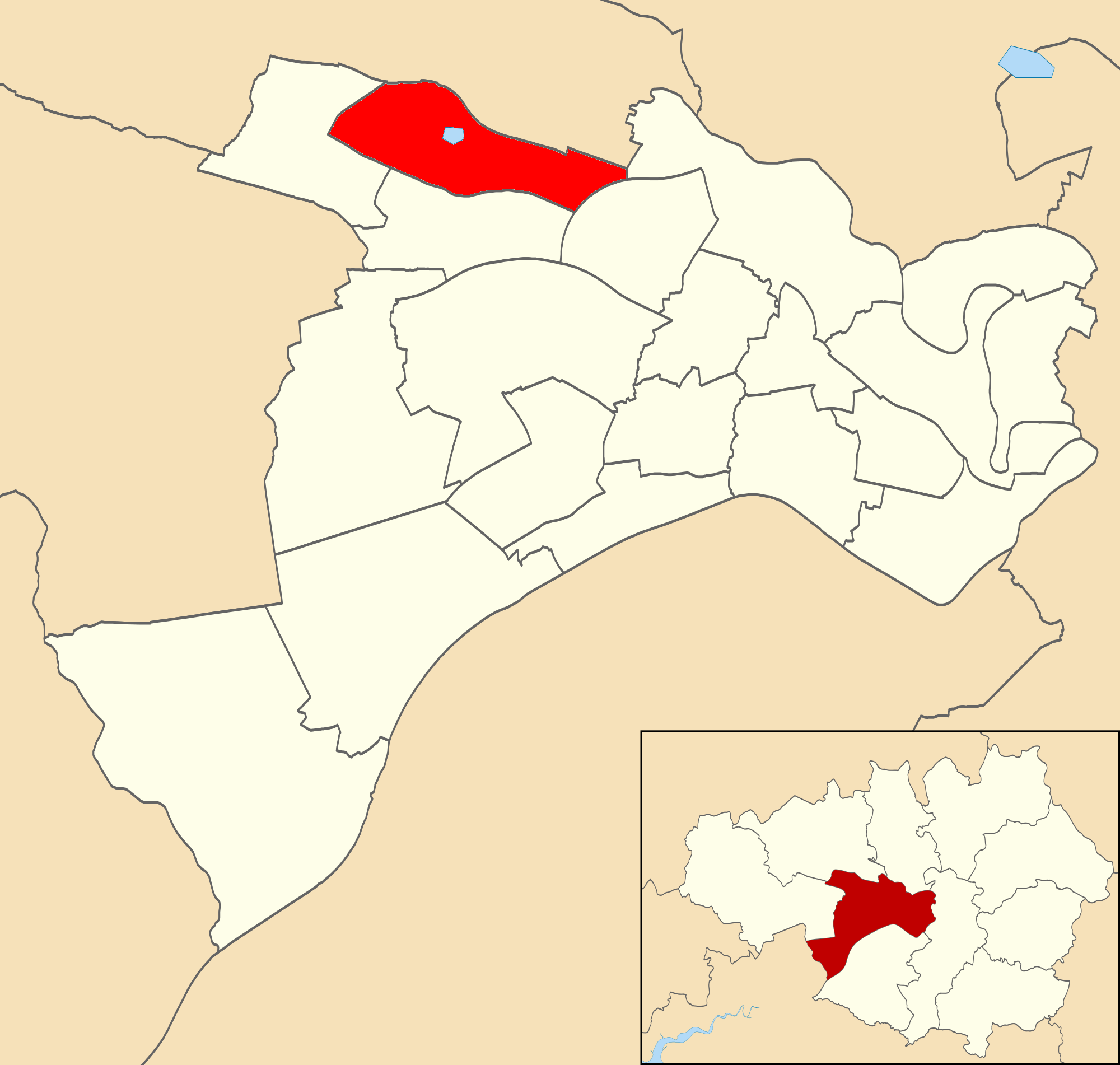
Blackleach Reservoir is located at Grid Ref: SD7303 (Lat: 53.531143, Lng: -2.3964574)
Unitary Authority: Salford
Police Authority: Greater Manchester
What 3 Words
///holly.pump.second. Near Kearsley, Manchester
Nearby Locations
Related Wikis

Blackleach Country Park
Blackleach Country Park is a country park in Walkden, Greater Manchester. It is situated half a mile from the town centre just off Bolton Road in the Hill...
Walkden North
Walkden North is an area and electoral ward of Salford, England. It is represented in Westminster by Barbara Keeley MP for Worsley and Eccles South. A...
Walkden
Walkden is a town in the City of Salford in Greater Manchester, England, six miles (ten kilometres) northwest of central Salford, and seven miles (eleven...

Linnyshaw
Linnyshaw is an area of Walkden, a town in the City of Salford district of Greater Manchester, England. Historically within Lancashire, it lies to the...
Ellesmere Colliery
Ellesmere Colliery was a coal mine in Walkden, Manchester, England. The pit was located on Manchester Road, a short distance south of Walkden town centre...
Kearsley Academy
Kearsley Academy (formerly George Tomlinson School) is a coeducational secondary school and sixth form with academy status sponsored by Northern Education...

Walkden South
Walkden South is an area and electoral ward of Salford, England. It is represented in Westminster by Barbara Keeley MP for Worsley and Eccles South. A...
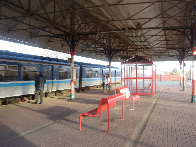
Walkden railway station
Walkden railway station serves the town of Walkden in City of Salford, Greater Manchester, England on the Manchester to Southport Line. The station is...
Nearby Amenities
Located within 500m of 53.531143,-2.3964574Have you been to Blackleach Reservoir?
Leave your review of Blackleach Reservoir below (or comments, questions and feedback).