Black Dub
Lake, Pool, Pond, Freshwater Marsh in Yorkshire South Lakeland
England
Black Dub
Black Dub is a picturesque freshwater wetland located in the county of Yorkshire, England. Nestled amidst the rolling hills and verdant landscapes, this serene water body comprises a lake, a pool, a pond, and a freshwater marsh, offering a diverse habitat for various plant and animal species.
The centerpiece of Black Dub is its expansive lake, which stretches across a significant part of the wetland. With its shimmering blue waters reflecting the surrounding vegetation, it serves as a tranquil spot for visitors seeking solace in nature's embrace. The lake is home to numerous aquatic plants, including water lilies and reeds, which provide shelter and sustenance for a range of creatures.
Adjacent to the lake lies a smaller pool, characterized by shallower and calmer waters. This pool is an important breeding ground for amphibians such as frogs and toads, attracting researchers and nature enthusiasts alike. It also hosts a variety of aquatic insects, acting as a vital link in the wetland's intricate food chain.
Beyond the pool, a charming pond emerges, surrounded by lush vegetation and vibrant wildflowers. This smaller water body teems with life, serving as a sanctuary for dragonflies, damselflies, and various bird species. Its peaceful ambiance and abundant biodiversity make it a popular spot for birdwatchers and nature photographers.
Finally, the freshwater marsh completes the wetland ecosystem of Black Dub. This marshland is characterized by its waterlogged soil and an abundance of reeds and grasses. It creates a unique habitat for marshland birds, amphibians, and insects, with its rich biodiversity attracting nature enthusiasts keen to explore the hidden treasures within.
Overall, Black Dub in Yorkshire is a captivating wetland that offers a harmonious blend of lakes, pools, ponds, and marshes. Its idyllic surroundings and diverse ecosystem make it a haven for both wildlife and visitors seeking to immerse themselves in the beauty of nature.
If you have any feedback on the listing, please let us know in the comments section below.
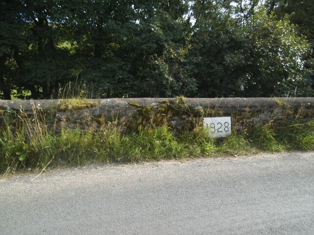
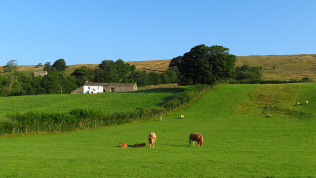
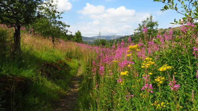
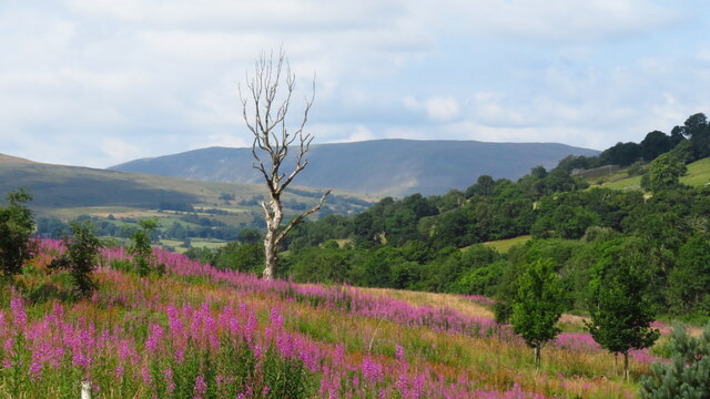
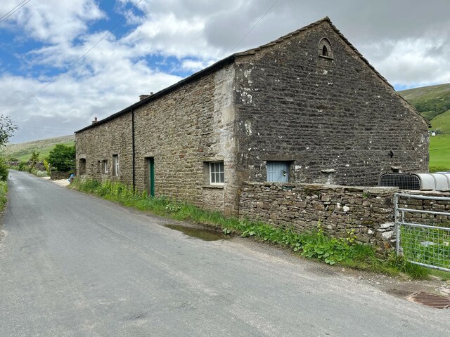
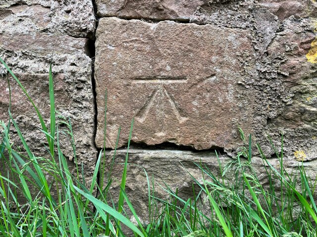
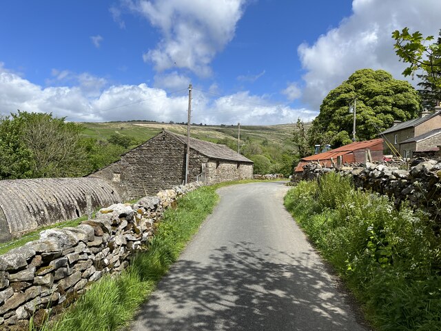
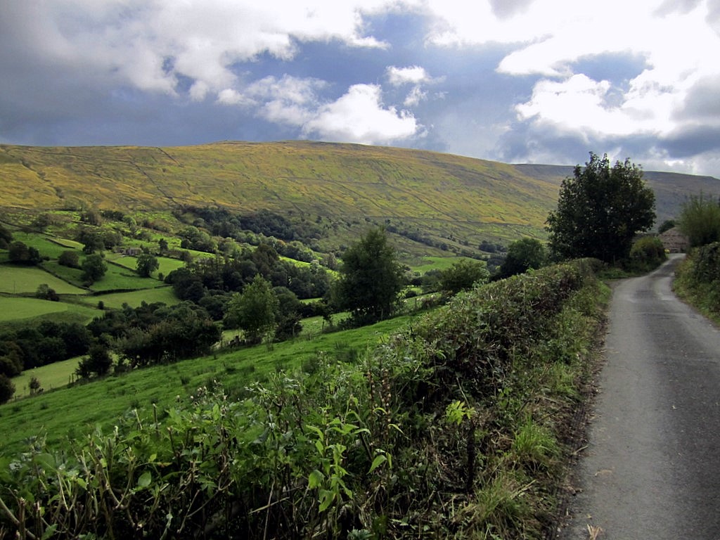
Black Dub Images
Images are sourced within 2km of 54.271373/-2.4051143 or Grid Reference SD7386. Thanks to Geograph Open Source API. All images are credited.


Black Dub is located at Grid Ref: SD7386 (Lat: 54.271373, Lng: -2.4051143)
Division: West Riding
Administrative County: Cumbria
District: South Lakeland
Police Authority: Cumbria
What 3 Words
///reissued.pillows.swear. Near Sedbergh, Cumbria
Nearby Locations
Related Wikis
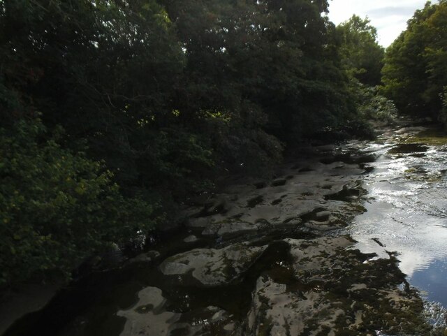
Deepdale, Cumbria
Deepdale is a side valley of Dentdale in the Yorkshire Dales National Park in Cumbria, England. It lies north west of the summit of Whernside. The dale...

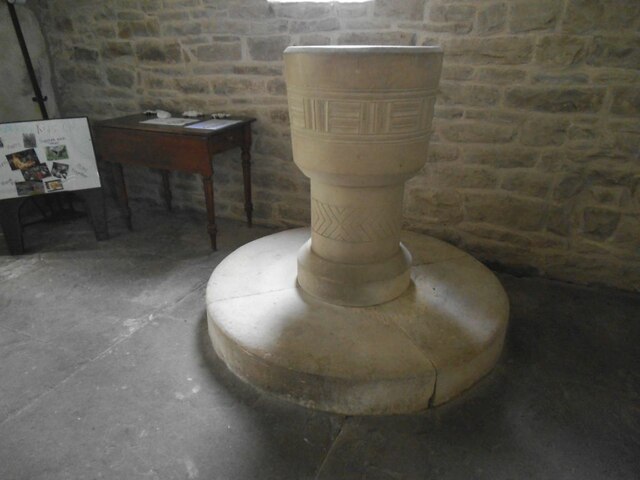
St John the Evangelist's Church, Cowgill
St John the Evangelist's Church is the Church of England parish church of the village of Cowgill, Cumbria, England. It is in the deanery of Kendal, the...

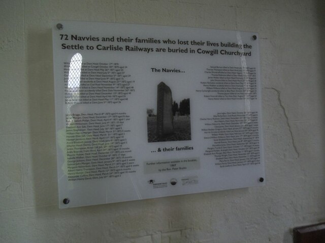
Cowgill, Cumbria
Cowgill is a village in Westmorland and Furness, Cumbria, England. It is within the historic boundaries of the West Riding of Yorkshire, and is located...
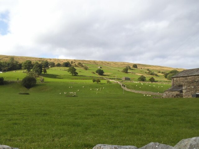
Aye Gill Pike
Aye Gill Pike is a Marilyn in the Yorkshire Dales, the highest point of the ridge of Rise Hill between Dentdale and Garsdale in Cumbria, England.
Nearby Amenities
Located within 500m of 54.271373,-2.4051143Have you been to Black Dub?
Leave your review of Black Dub below (or comments, questions and feedback).