Black Pot
Lake, Pool, Pond, Freshwater Marsh in Aberdeenshire
Scotland
Black Pot
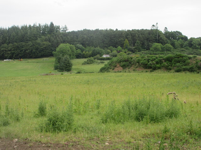
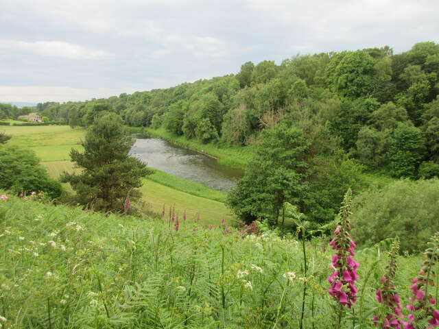
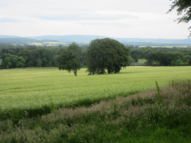
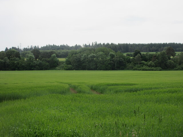
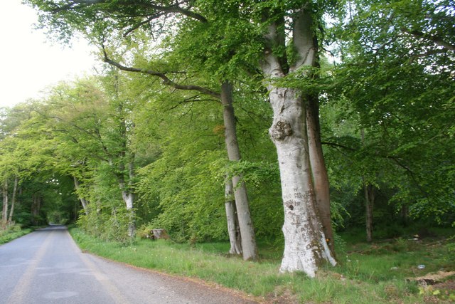
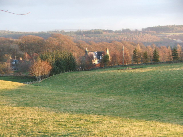
Black Pot is a freshwater marsh located in Aberdeenshire, Scotland. It is a small lake-like body of water that serves as a pool and pond, covering an area of approximately 5 acres. The marsh is situated in a picturesque natural setting, surrounded by lush greenery and rolling hills.
The water in Black Pot is sourced from various streams and springs in the area, resulting in a constant flow that helps maintain its freshwater quality. The depth of the pool varies throughout the year, with an average depth of around 3 meters. Its dark color, which gives the marsh its name, is due to the presence of organic matter and vegetation in the water.
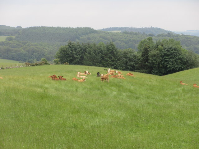
The marsh is home to a diverse range of aquatic plants and wildlife species. The water supports a variety of aquatic vegetation, including reeds, rushes, and water lilies, providing a habitat for numerous insects, amphibians, and birds. It is not uncommon to spot waterfowl such as ducks and swans gracefully gliding across the surface.
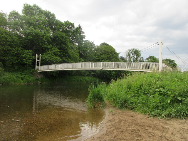
Black Pot also attracts fishing enthusiasts due to its abundant population of fish. Anglers can often be seen casting their lines in search of species like trout, perch, and pike. The marsh is popular for both recreational fishing and competitions, with its tranquil and idyllic surroundings offering a peaceful retreat for fishing enthusiasts.
Overall, Black Pot in Aberdeenshire is a beautiful freshwater marsh that provides a haven for wildlife, a scenic backdrop for nature lovers, and a prime fishing spot for angling enthusiasts.
If you have any feedback on the listing, please let us know in the comments section below.
Black Pot Images
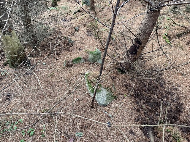
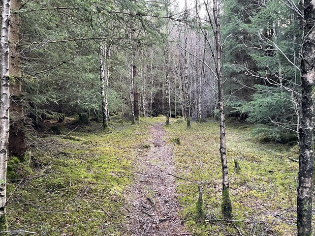
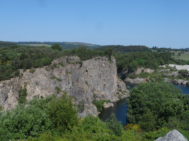
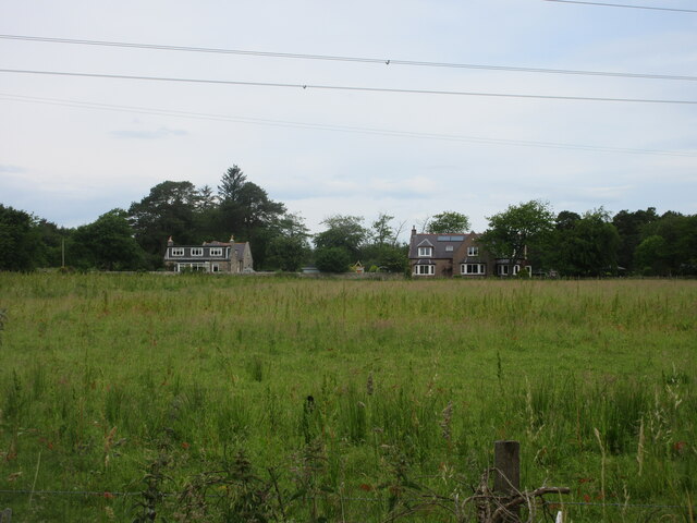
Images are sourced within 2km of 57.259211/-2.4422109 or Grid Reference NJ7318. Thanks to Geograph Open Source API. All images are credited.


Black Pot is located at Grid Ref: NJ7318 (Lat: 57.259211, Lng: -2.4422109)
Unitary Authority: Aberdeenshire
Police Authority: North East
What 3 Words
///paints.defends.ruling. Near Kemnay, Aberdeenshire
Nearby Locations
Related Wikis
Aquhorthies College
Aquhorthies College or Aquhorthies House, located between Blairdaff and Inverurie in Aberdeenshire, was a Roman Catholic seminary in Scotland from 1799...
Aquithie
Aquithie is a hamlet in Aberdeenshire, Scotland, belonging to the parish of Kemnay. It is best known for its Aquithie Boarding & Quarantine Kennels....
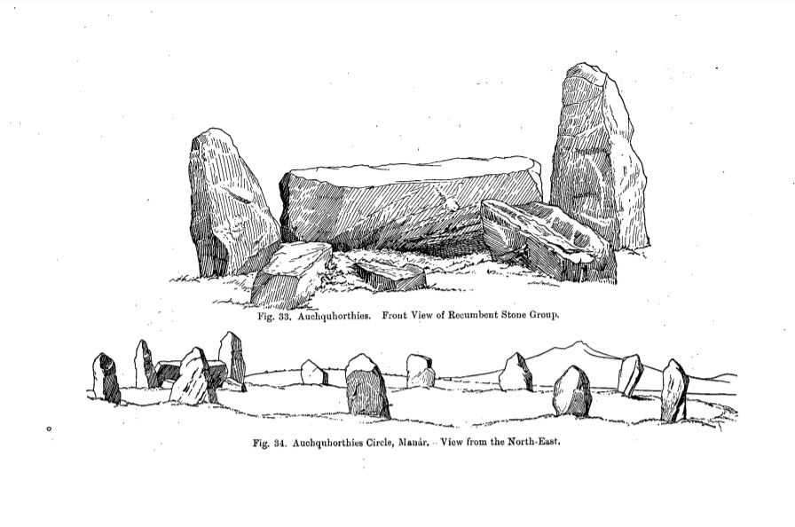
Easter Aquhorthies stone circle
Easter Aquhorthies stone circle, located near Inverurie in north-east Scotland, is one of the best-preserved examples of a recumbent stone circle and one...

Kemnay Academy
Kemnay Academy is a secondary school in Kemnay, Aberdeenshire, situated on the banks of the River Don. It is one of seventeen secondary schools run by...
Nearby Amenities
Located within 500m of 57.259211,-2.4422109Have you been to Black Pot?
Leave your review of Black Pot below (or comments, questions and feedback).