Island Stream
Lake, Pool, Pond, Freshwater Marsh in Aberdeenshire
Scotland
Island Stream
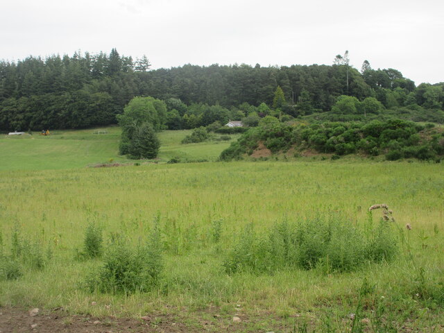
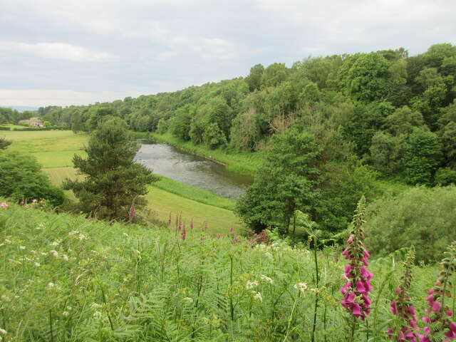
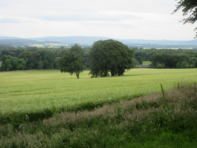
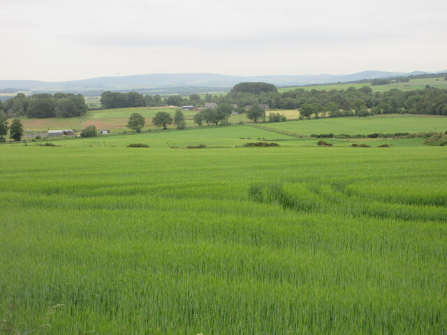
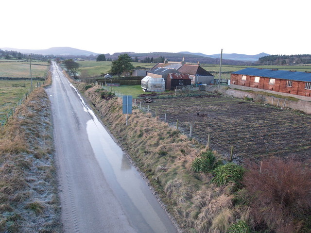
Island Stream is a picturesque freshwater marsh located in Aberdeenshire, Scotland. Nestled amidst the breathtaking landscape of the region, it is a haven for nature enthusiasts and a crucial habitat for a diverse range of flora and fauna.
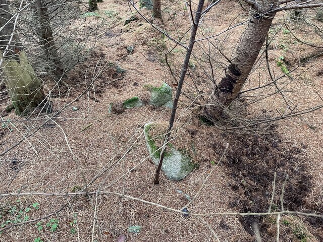
Spanning across an area of approximately 10 acres, Island Stream is characterized by its crystal-clear water, which flows gently through the marsh, creating a serene and tranquil atmosphere. The stream is fed by natural springs that emerge from the surrounding hills, ensuring a constant supply of fresh water to sustain the marsh ecosystem.
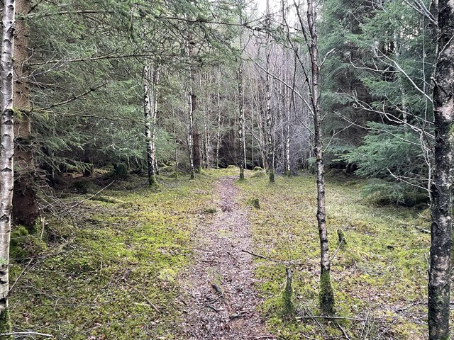
Lush vegetation blankets the banks of the stream, providing a habitat for a rich array of plant species. Tall reeds, water lilies, and marsh marigolds thrive in the damp conditions, creating a vibrant and colorful landscape. The dense vegetation also offers shelter and nesting sites for a variety of bird species, including herons, kingfishers, and reed warblers.
The marsh is home to numerous species of aquatic life, with fish such as brown trout and pike inhabiting the clear waters. Frogs, newts, and other amphibians can also be found in and around the stream. The presence of these creatures not only adds to the ecological value of the marsh but also enhances its natural beauty.
Island Stream is a popular destination for nature lovers, who can enjoy leisurely walks along the banks, observing the diverse wildlife and immersing themselves in the serenity of the surroundings. It also provides an excellent opportunity for educational activities, allowing visitors to learn more about the delicate balance of freshwater ecosystems and the importance of conservation efforts.
Overall, Island Stream is a remarkable example of a freshwater marsh, showcasing the beauty and diversity of Aberdeenshire's natural landscapes while serving as a vital habitat for a wide range of plants and animals.
If you have any feedback on the listing, please let us know in the comments section below.
Island Stream Images
Images are sourced within 2km of 57.240716/-2.4546476 or Grid Reference NJ7216. Thanks to Geograph Open Source API. All images are credited.


Island Stream is located at Grid Ref: NJ7216 (Lat: 57.240716, Lng: -2.4546476)
Unitary Authority: Aberdeenshire
Police Authority: North East
What 3 Words
///juggled.grounding.crust. Near Kemnay, Aberdeenshire
Nearby Locations
Related Wikis

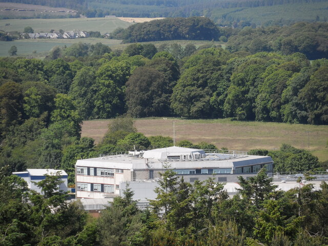
Kemnay Academy
Kemnay Academy is a secondary school in Kemnay, Aberdeenshire, situated on the banks of the River Don. It is one of seventeen secondary schools run by...

Fetternear Palace
Fetternear Bishop's Palace is an archaeological site of what was one of the palaces (or residences) of the medieval bishops of Aberdeen. It is near Kemnay...

Kemnay, Aberdeenshire
Kemnay (Gaelic: Camnaidh) is a village 16 miles (26 km) west of Aberdeen in Garioch, Aberdeenshire, Scotland. == History == The village name Kemnay is...

Kemnay railway station
Kemnay railway station was a station on the Alford Valley Railway in Kemnay, Aberdeenshire, which opened in 1858 and closed in 1950. == References... ==
Kemnay House
Kemnay House is a 17th-century tower house, now incorporated in a later house, about 5.5 miles (8.9 km) south and west of Inverurie, Aberdeenshire, Scotland...
Aquithie
Aquithie is a hamlet in Aberdeenshire, Scotland, belonging to the parish of Kemnay. It is best known for its Aquithie Boarding & Quarantine Kennels....

Bograxie
Bograxie is a farm in Aberdeenshire, Scotland. == References ==

Blairdaff
Blairdaff is a parish in Garioch, Aberdeenshire, Scotland, next to the villages of Kemnay and Monymusk. Blairdaff had a grocery store, a post office, and...
Nearby Amenities
Located within 500m of 57.240716,-2.4546476Have you been to Island Stream?
Leave your review of Island Stream below (or comments, questions and feedback).