Bradford Reservoir
Lake, Pool, Pond, Freshwater Marsh in Lancashire
England
Bradford Reservoir

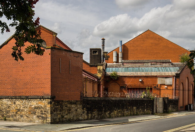
Bradford Reservoir, located in Lancashire, is a man-made freshwater reservoir that serves as an important water supply for the surrounding area. With a surface area of approximately [insert size], the reservoir is known for its scenic beauty and diverse flora and fauna.
The reservoir is surrounded by rolling hills and lush greenery, making it a popular destination for nature lovers and outdoor enthusiasts. It offers a peaceful and serene environment, perfect for picnics, leisurely walks, and birdwatching. Visitors can enjoy stunning views of the water and the surrounding landscape from various vantage points around the reservoir.
The reservoir is home to a variety of aquatic plants, including lilies and reeds, which provide shelter and food for a wide range of bird species. Birdwatchers can spot common species such as mallards, herons, and kingfishers, as well as occasional visitors like ospreys and grebes.
Anglers also frequent Bradford Reservoir, as it is well-stocked with fish such as carp, pike, and roach. Fishing permits are available for those looking to try their luck in catching a trophy-sized fish.
Aside from its recreational value, Bradford Reservoir plays a vital role in the water supply management of the region. It collects and stores rainwater, which is then treated and distributed to homes and businesses in the vicinity.
Overall, Bradford Reservoir offers a unique blend of natural beauty, recreational activities, and environmental importance. Whether you're looking for a peaceful retreat or a place to engage in outdoor pursuits, this reservoir in Lancashire is a must-visit destination.
If you have any feedback on the listing, please let us know in the comments section below.
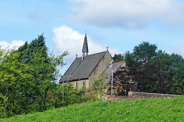
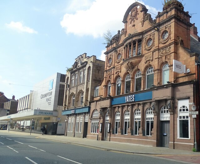
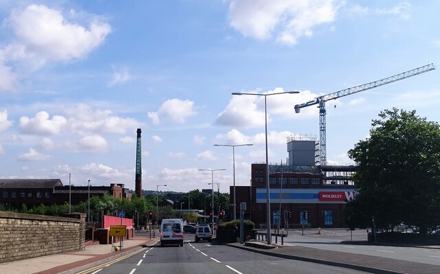
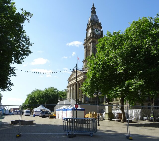
Bradford Reservoir Images
Images are sourced within 2km of 53.564252/-2.4214978 or Grid Reference SD7207. Thanks to Geograph Open Source API. All images are credited.


Bradford Reservoir is located at Grid Ref: SD7207 (Lat: 53.564252, Lng: -2.4214978)
Unitary Authority: Bolton
Police Authority: Greater Manchester
What 3 Words
///human.hops.ladder. Near Bolton, Manchester
Nearby Locations
Related Wikis

Great Lever
Great Lever is a suburb of Bolton, Greater Manchester, England. Historically in Lancashire, it is 2+1⁄2 miles (4.0 km) south of Bolton town centre and...
Burnden
Burnden is a district in the town of Bolton in Greater Manchester, England. It is located about 1 mile (2 km) southeast of Bolton town centre. Historically...
Raikes Park Greyhound Stadium
Raikes Park Greyhound Stadium, also known as Bolton Greyhound Stadium, was a greyhound racing track in Bolton, Greater Manchester in north-west England...
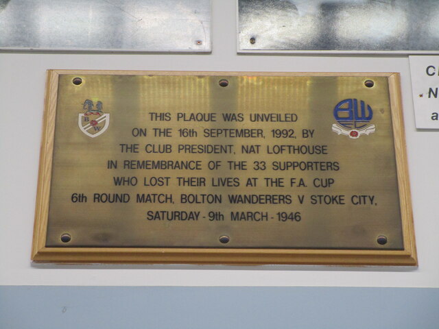
Burnden Park disaster
The Burnden Park disaster was a human crush that occurred on 9 March 1946 at Burnden Park football stadium, then the home of Bolton Wanderers. The crush...

Burnden Park
Burnden Park was the home of English football club Bolton Wanderers, who played home games there between 1895 and 1997. As well as hosting the 1901 FA...
Sayers (bakery)
Sayers the Bakers is the largest independent retail baker in the North West of England, established in 1912 in Liverpool. The retailer sells savouries...
Bolton WtE
The Bolton WtE is a waste power station constructed in 1971 in Bolton, and is a major landmark of its skyline. The incinerator burns up to 20 tonnes (22...
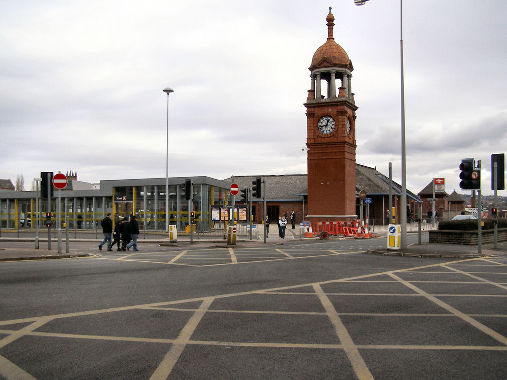
Bolton Interchange
Bolton Interchange is a transport interchange combining Bolton railway station and Bolton Bus Station in the town of Bolton in Greater Manchester, England...
Nearby Amenities
Located within 500m of 53.564252,-2.4214978Have you been to Bradford Reservoir?
Leave your review of Bradford Reservoir below (or comments, questions and feedback).