Camp Field Pot
Lake, Pool, Pond, Freshwater Marsh in Aberdeenshire
Scotland
Camp Field Pot
Camp Field Pot is a picturesque freshwater marsh located in Aberdeenshire, Scotland. Nestled amidst rolling hills and lush greenery, this natural marvel offers a serene and tranquil environment for visitors to enjoy. Spanning an area of approximately 2.5 acres, it consists of a beautiful lake, pool, pond, and freshwater marsh, each contributing to the diverse ecosystem found within.
The centerpiece of Camp Field Pot is undoubtedly its crystal-clear lake, which stretches across a considerable portion of the site. Surrounded by reeds and tall grasses, the lake is home to a variety of aquatic plants and provides a habitat for numerous species of waterfowl, including ducks and swans. The calm waters of the lake reflect the surrounding scenery, creating a mesmerizing sight that is truly captivating.
Adjacent to the lake is a smaller pool, characterized by its shallow depth and gentle flow of water. This pool acts as a nursery for fish and amphibians, offering a safe breeding ground and shelter for their young. It also attracts a plethora of insects and invertebrates, making it a popular feeding ground for birds and other wildlife.
A well-maintained pond can also be found within the grounds of Camp Field Pot. This pond is teeming with life, hosting a diverse array of plant and animal species. It provides a habitat for various aquatic plants such as lilies and water hyacinths, while also supporting a multitude of fish, including carp and perch.
Lastly, the site features a freshwater marsh, which is characterized by its wet and marshy terrain. This marshland is a haven for numerous species of birds, as it offers an abundant supply of insects, small mammals, and amphibians. The marsh is covered in a carpet of vibrant green grasses and dotted with colorful wildflowers during the summer months, creating a visually striking landscape.
Overall, Camp Field Pot in Aberdeenshire is a haven for nature lovers and wildlife enthusiasts. Its combination of a lake, pool, pond,
If you have any feedback on the listing, please let us know in the comments section below.
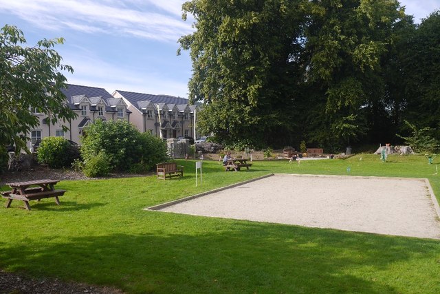
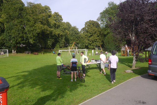
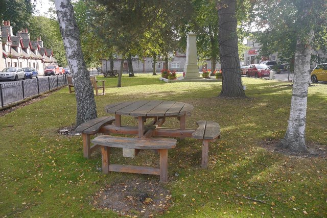
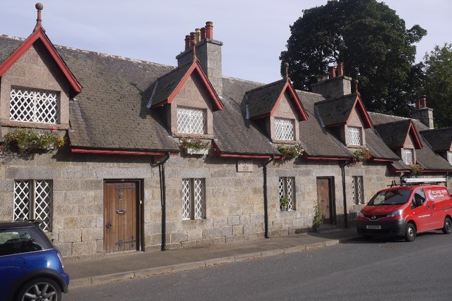
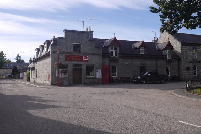
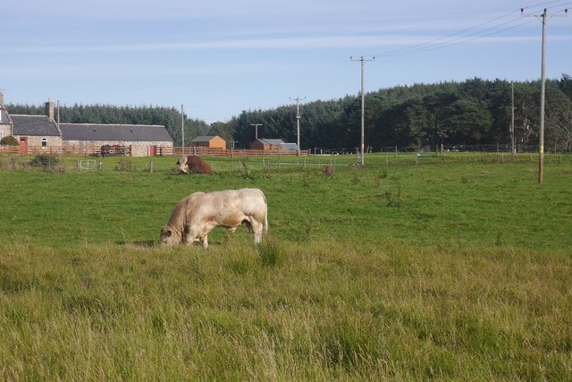
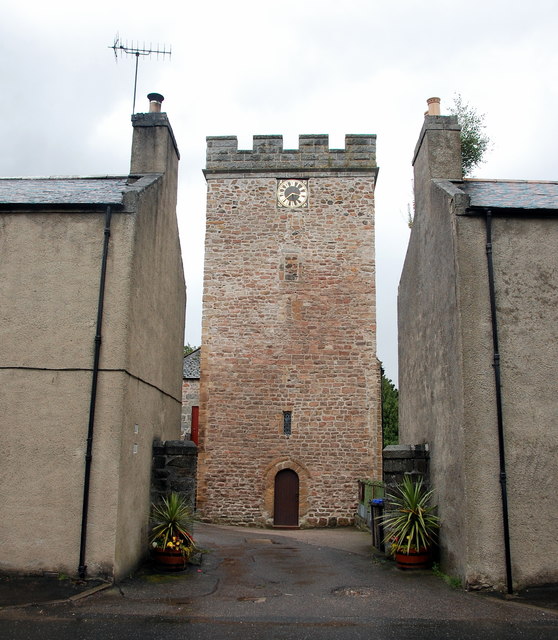
Camp Field Pot Images
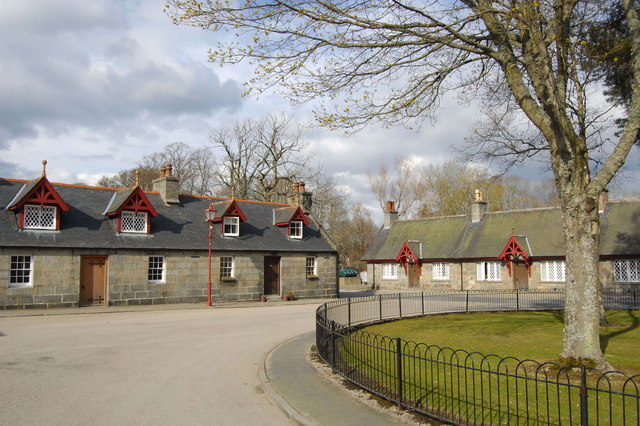
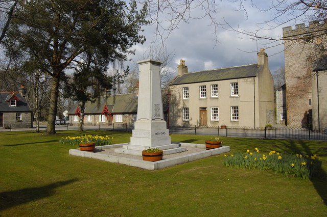
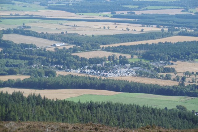
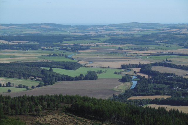
Images are sourced within 2km of 57.227219/-2.5027771 or Grid Reference NJ6915. Thanks to Geograph Open Source API. All images are credited.

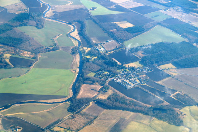


Camp Field Pot is located at Grid Ref: NJ6915 (Lat: 57.227219, Lng: -2.5027771)
Unitary Authority: Aberdeenshire
Police Authority: North East
What 3 Words
///wisely.mastering.cloud. Near Kemnay, Aberdeenshire
Nearby Locations
Related Wikis

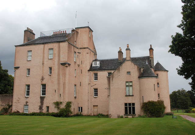
House of Monymusk
The House of Monymusk is located on the outskirts of the Scottish village of Monymusk, in the Marr region of Aberdeenshire. The house is located near the...

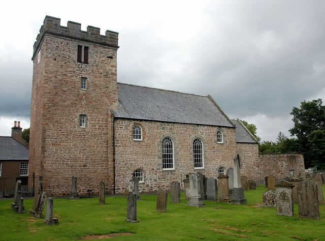
Monymusk Parish Church
Monymusk Parish Church (also known as the Church of the Blessed Mary) is located in Monymusk, Aberdeenshire, Scotland. It is of Church of Scotland denomination...
Monymusk
Monymusk (Scottish Gaelic: Monadh Musga) is a planned village in the Marr area of Aberdeenshire, Scotland. == History == Malcolm Canmore first established...

Monymusk railway station
Monymusk railway station was a station on the Alford Valley Railway in Monymusk, Aberdeenshire, Scotland. The station opened on 25 March 1859 and closed...
Nearby Amenities
Located within 500m of 57.227219,-2.5027771Have you been to Camp Field Pot?
Leave your review of Camp Field Pot below (or comments, questions and feedback).