Great Canfield

Settlement in Essex Uttlesford

England

Great Canfield

Road junction near Attridge's Farm Behind me the lane goes to Rands and High Roding, ahead heads off towards The Easters and left goes to Bishop's Green and Barnston.
Road junction near Attridge's Farm Credit: Trevor Harris

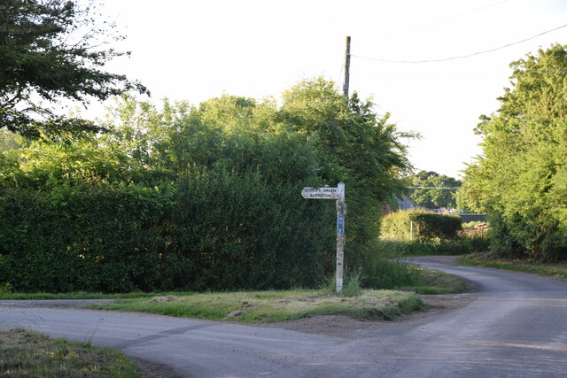
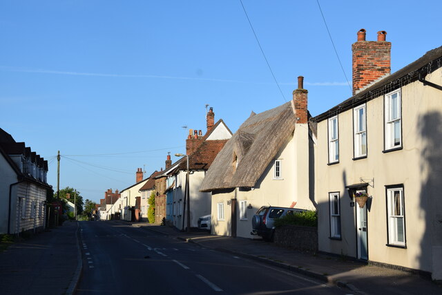
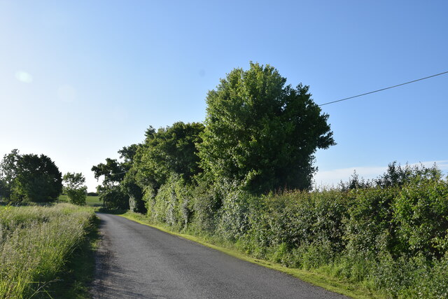
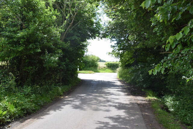
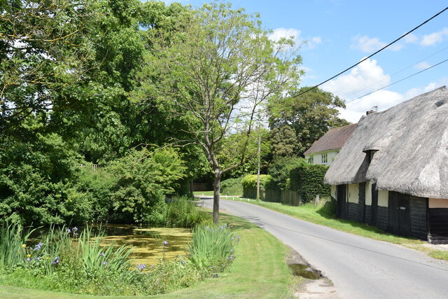
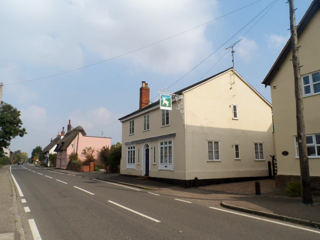
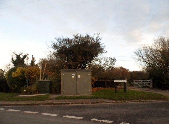
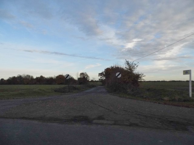
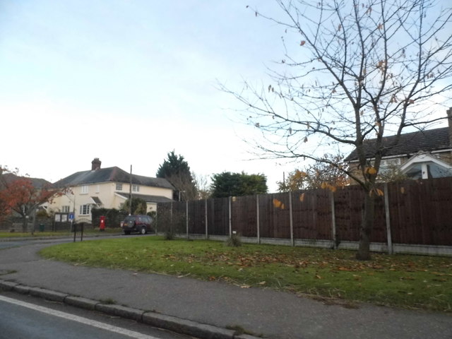
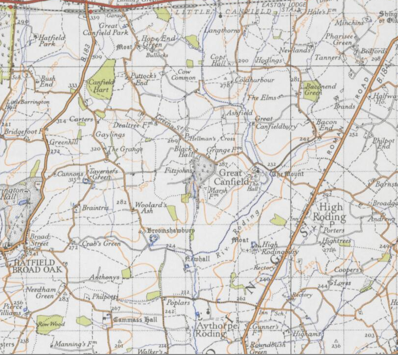
Great Canfield is a small village located in the Uttlesford district of Essex, England. It is situated approximately 3 miles northeast of the town of Dunmow and 35 miles north-northeast of London. The village is surrounded by beautiful rural countryside, boasting picturesque views and a tranquil atmosphere.

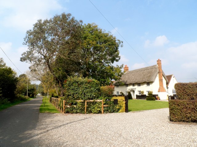
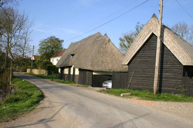
Great Canfield is known for its charming historic buildings, including the Grade I listed St. Mary the Virgin Church, which dates back to the 12th century. The church features a stunning medieval tower and a collection of intricate stained glass windows.

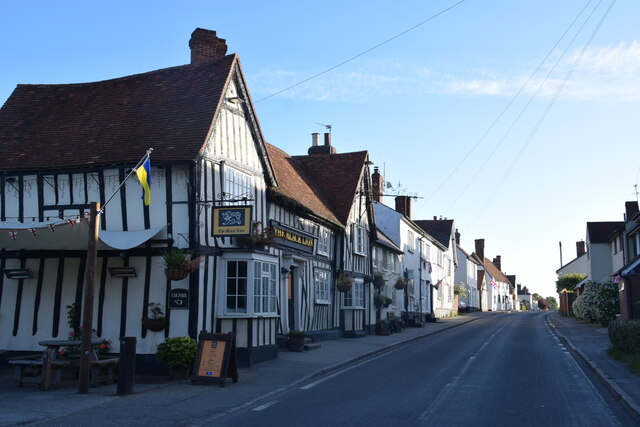
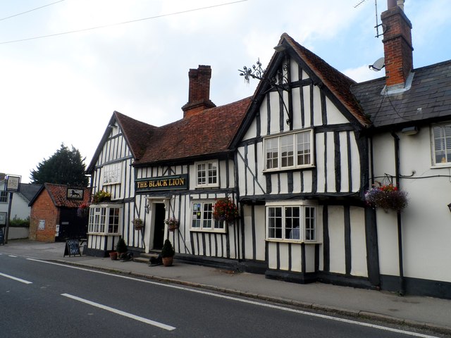
The village also offers a range of amenities for its residents and visitors. There is a primary school, a village hall, and a local pub called The Lion and Lamb, which serves traditional British cuisine. Great Canfield is well-connected to neighboring towns and cities, with convenient transport links, including the nearby Stansted Airport, which is only a short drive away.

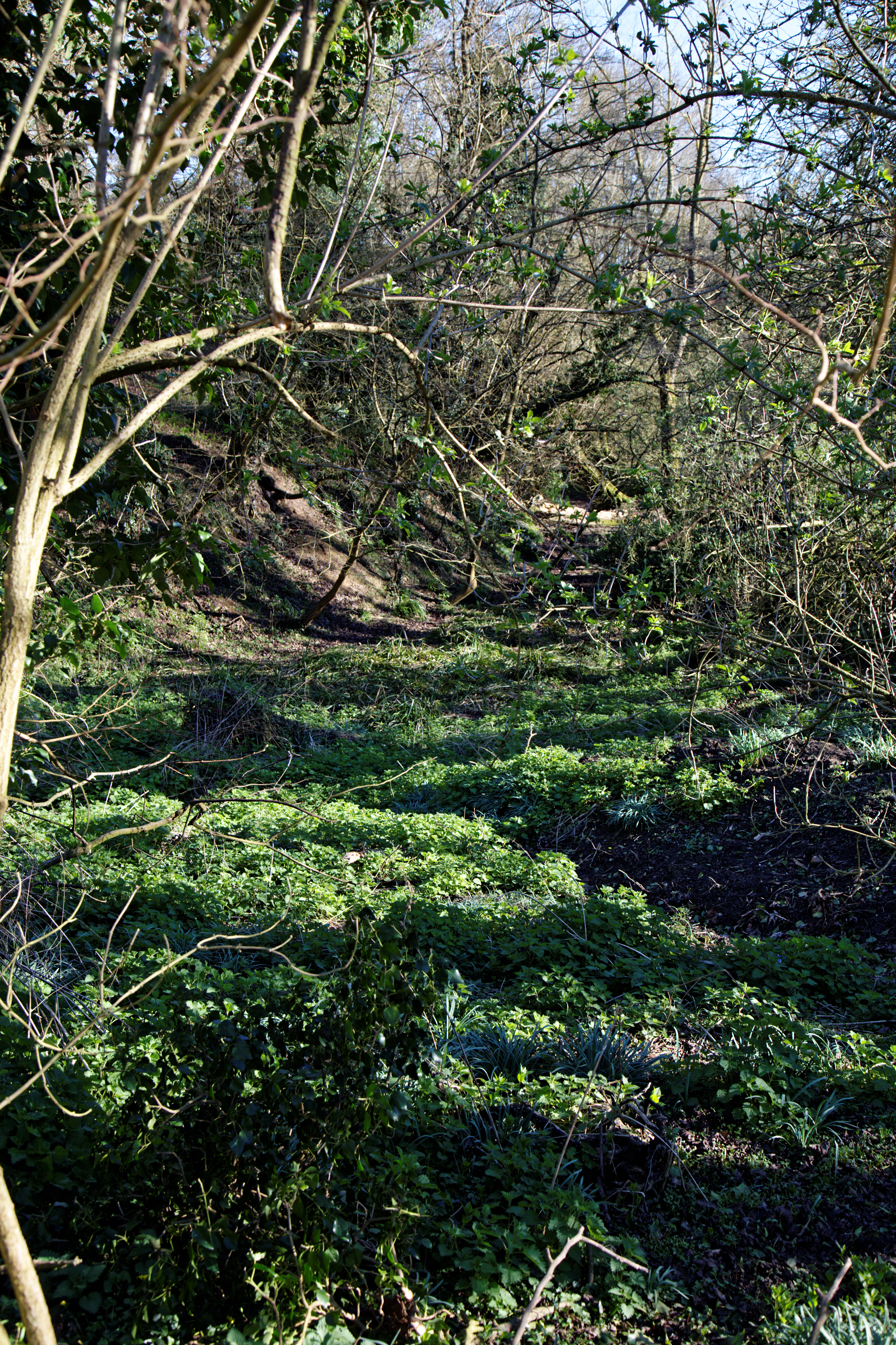
For those seeking outdoor activities, the surrounding countryside provides ample opportunities for walking, cycling, and exploring nature. The village is also close to Hatfield Forest, a beautiful National Trust site with ancient woodlands, lakes, and wildlife.

Overall, Great Canfield is a charming and peaceful village, perfect for those looking to escape the hustle and bustle of city life while still being within easy reach of urban amenities.

If you have any feedback on the listing, please let us know in the comments section below.

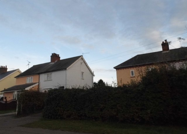
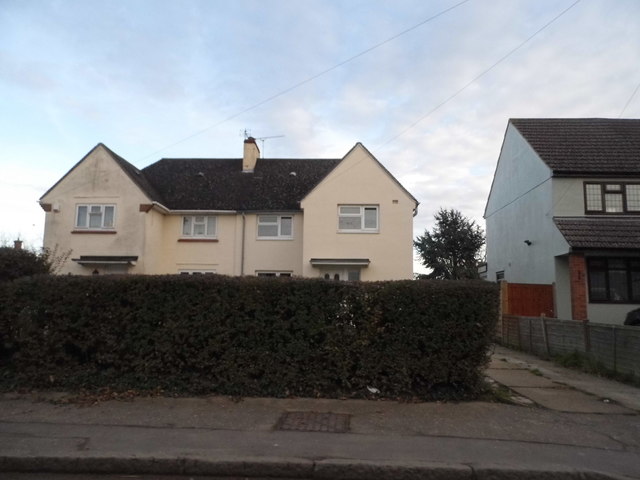
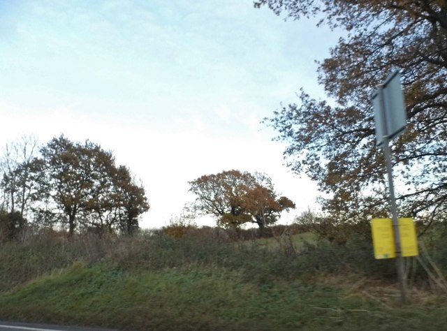
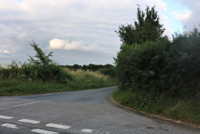
Great Canfield Images

Images are sourced within 2km of 51.837887/0.31212 or Grid Reference TL5918. Thanks to Geograph Open Source API. All images are credited.

Road junction near Attridge's Farm Behind me the lane goes to Rands and High Roding, ahead heads off towards The Easters and left goes to Bishop's Green and Barnston.
Road junction near Attridge's Farm
Behind me the lane goes to Rands and High Roding, ahead heads off towards The Easters and left goes to Bishop's Green and Barnston.
High Roding A view from he northern end of the village. The early morning sun highlights the little thatched cottage. High Roding is very much a linear settlement with very little development back from The Street - which follows the line of a Roman Road. Some modern development has resulted in some "back streets".
High Roding
A view from he northern end of the village. The early morning sun highlights the little thatched cottage. High Roding is very much a linear settlement with very little development back from The Street - which follows the line of a Roman Road. Some modern development has resulted in some "back streets".
The Black Lion and the view north east along The Street The Black Lion proclaims itself "a Traditional 14th Century Coaching Inn" (no doubt correctly).
The Black Lion and the view north east along The Street
The Black Lion proclaims itself "a Traditional 14th Century Coaching Inn" (no doubt correctly).
Lane to High Trees Farm ....and to the sewage works.
Lane to High Trees Farm
....and to the sewage works.
Road junction at Bacon End Close to Bacon End Farm.
Road junction at Bacon End
Close to Bacon End Farm.
Pond and thatched barn at Baconend Green Taken standing to the right of the entrance of The Tiled Barn. Several of the barns around here have specific names; the one shown is simply called Bacon End Barn.
Pond and thatched barn at Baconend Green
Taken standing to the right of the entrance of The Tiled Barn. Several of the barns around here have specific names; the one shown is simply called Bacon End Barn.
The Black Lion, High Roding The core of the structure is C15 but with many later additions. See <span class="nowrap"><a title="http://www.britishlistedbuildings.co.uk/en-352755-the-black-lion-public-house-high-roothin#.VhrMn_lViko" rel="nofollow ugc noopener" href="http://www.britishlistedbuildings.co.uk/en-352755-the-black-lion-public-house-high-roothin#.VhrMn_lViko">Link</a><img style="margin-left:2px;" alt="External link" title="External link - shift click to open in new window" src="https://s1.geograph.org.uk/img/external.png" width="10" height="10"/></span> for entry in British Listed Buildings.
The Black Lion, High Roding
The core of the structure is C15 but with many later additions. See LinkExternal link for entry in British Listed Buildings.
Village sign, High Roding
The Old Lamb, High Roding It seems to have been converted to residential use. See <span class="nowrap"><a title="http://www.britishlistedbuildings.co.uk/en-352794-the-old-lamb-public-house-high-roothing-#.VhrOavlViko" rel="nofollow ugc noopener" href="http://www.britishlistedbuildings.co.uk/en-352794-the-old-lamb-public-house-high-roothing-#.VhrOavlViko">Link</a><img style="margin-left:2px;" alt="External link" title="External link - shift click to open in new window" src="https://s1.geograph.org.uk/img/external.png" width="10" height="10"/></span> for entry in British Listed Buildings
The Old Lamb, High Roding
It seems to have been converted to residential use. See LinkExternal link for entry in British Listed Buildings
Bacon End Cottages Originally built around 1300 but with much alteration since. See <span class="nowrap"><a title="http://www.britishlistedbuildings.co.uk/en-352660-bacon-end-cottages-great-canfield-essex#.Vls4YnbhDIU" rel="nofollow ugc noopener" href="http://www.britishlistedbuildings.co.uk/en-352660-bacon-end-cottages-great-canfield-essex#.Vls4YnbhDIU">Link</a><img style="margin-left:2px;" alt="External link" title="External link - shift click to open in new window" src="https://s1.geograph.org.uk/img/external.png" width="10" height="10"/></span> for entry in British Listed Buildings.
Bacon End Cottages
Originally built around 1300 but with much alteration since. See LinkExternal link for entry in British Listed Buildings.
Rands Road, High Roding
Road junction in High Roding It's a short lane that leads to a farm
Road junction in High Roding
It's a short lane that leads to a farm
Dunmow Road, High Roding
Houses on Dunmow Road, High Roding
Field by Dunmow Road, Bacon End
Watery Lane, Philpot End
Direction Sign – Signpost on the B184 in High Roding village Located on the east side of the crossroads of the B184 Dunmow Road, Canfield Road and Rands Road, High Roding. In High Roothing parish. 4 arms and half-moon finial. 

Milestone Society National ID: EX_TL6017
Direction Sign – Signpost on the B184 in High Roding village
Located on the east side of the crossroads of the B184 Dunmow Road, Canfield Road and Rands Road, High Roding. In High Roothing parish. 4 arms and half-moon finial. Milestone Society National ID: EX_TL6017
Show me another place!

Great Canfield is located at Grid Ref: TL5918 (Lat: 51.837887, Lng: 0.31212)

Administrative County: Essex

District: Uttlesford

Police Authority: Essex

What 3 Words

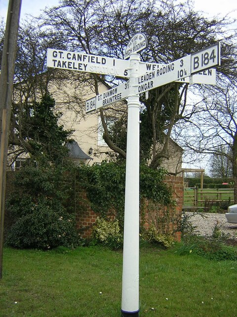
///liberated.guideline.accompany. Near Takeley, Essex

Related Wikis

Great Canfield Castle

Great Canfield Castle lies in the small village of Great Canfield, 3 miles (5 km) south-west of Great Dunmow in Essex, England: grid reference TL595179...

Baconend Green

Baconend Green is a hamlet in the Uttlesford district of Essex, England. It is within the parish of Great Canfield.

Great Canfield

Great Canfield is a village and a civil parish in the Uttlesford district of Essex, England. The village, which sits at the south-east edge of its civil...

Bacon End

Bacon End is a hamlet in the civil parish of Great Canfield, and near Great Canfield Castle, in Essex, England. == References == == External links == mid...

Nearby Amenities

Located within 500m of 51.837887,0.31212
Great Canfield
Place: village
Lat/Long: 51.8384455/0.3133045
Power: pole
Source: Bing
Lat/Long: 51.8384217/0.3064041
Power: pole
Source: Bing
Lat/Long: 51.8390673/0.3051411
Power: pole
Source: Bing
Lat/Long: 51.8391451/0.3071594
Power: pole
Source: Bing
Lat/Long: 51.8397362/0.3057789
Power: pole
Source: Bing
Lat/Long: 51.8400214/0.3079734
Power: pole
Source: Bing
Lat/Long: 51.8403999/0.3064335
Power: pole
Source: Bing
Lat/Long: 51.8407888/0.3084686
Power: pole
Lat/Long: 51.8410543/0.3070834
Power: pole
Lat/Long: 51.837773/0.3076762
Power: pole
Lat/Long: 51.837183/0.3088376
Power: pole
Lat/Long: 51.8374067/0.3055546
Power: pole
Lat/Long: 51.8382784/0.3063646
Power: pole
Lat/Long: 51.8408704/0.3087679
Power: pole
Lat/Long: 51.8417056/0.3095832
Barrier: sliding_gate
Lat/Long: 51.8393034/0.3102919
The data included in this document is from www.openstreetmap.org. The data is made available under ODbL.

Have you been to Great Canfield?

Leave your review of Great Canfield below (or comments, questions and feedback).