Burnend Pot
Lake, Pool, Pond, Freshwater Marsh in Banffshire
Scotland
Burnend Pot
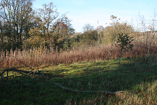
Burnend Pot is a picturesque freshwater marsh located in the region of Banffshire, Scotland. Spread across an area of approximately 10 acres, this enchanting wetland is a haven for various aquatic flora and fauna. The pot is nestled amidst rolling hills, surrounded by a diverse mix of woodlands, heathlands, and meadows.
The pot itself is a shallow body of water with a depth ranging from a few centimeters to a meter. It is primarily fed by rainwater and small streams that meander through the surrounding landscape. The water in Burnend Pot is crystal clear and remains cool throughout the year due to its constant flow and shade provided by the enclosing vegetation.
The pot is home to a rich and diverse ecosystem. Various species of water plants, such as water lilies, reeds, and pondweeds, thrive in its shallow waters. These plants provide shelter and food for an array of aquatic creatures, including frogs, newts, and dragonflies. The pot also attracts a variety of bird species, such as ducks, herons, and kingfishers, which visit the area to feed and nest.
Visitors to Burnend Pot can enjoy the serene surroundings by strolling along the well-maintained footpaths that traverse the area. The pot offers breathtaking views, especially during the spring and summer months when the water is adorned with vibrant blooming flowers and the air is filled with the chorus of singing birds.
Due to its ecological importance, Burnend Pot has been designated as a Site of Special Scientific Interest (SSSI) by the Scottish Natural Heritage. The pot serves as a valuable habitat for many rare and protected species, contributing to the overall biodiversity of Banffshire.
If you have any feedback on the listing, please let us know in the comments section below.
Burnend Pot Images
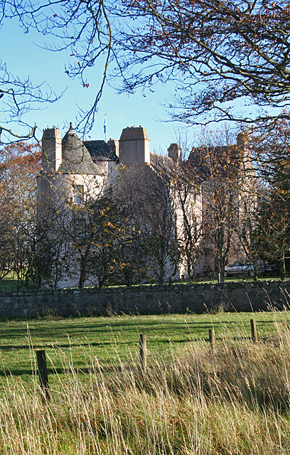
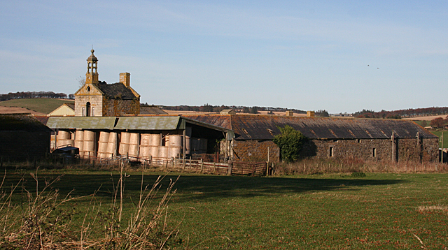
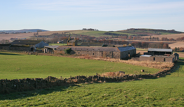
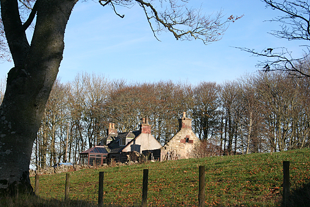
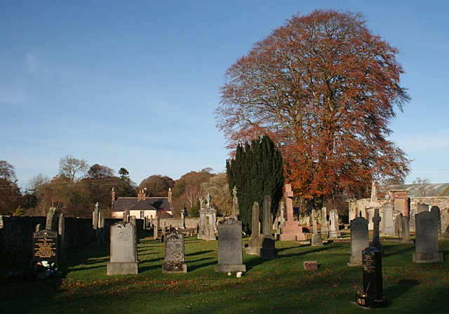
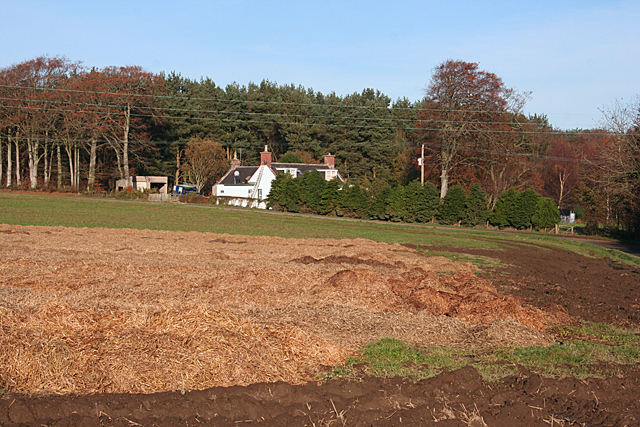
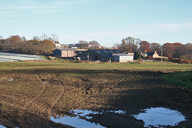
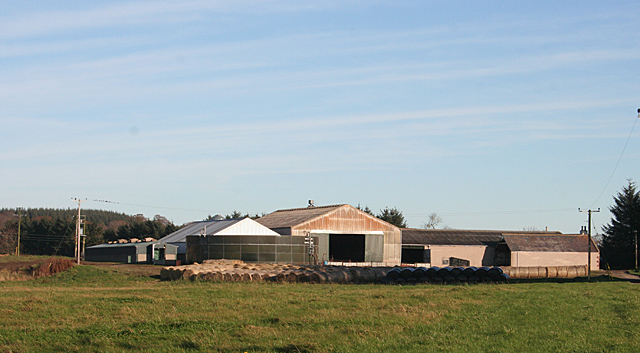
Images are sourced within 2km of 57.536664/-2.5321859 or Grid Reference NJ6849. Thanks to Geograph Open Source API. All images are credited.

Burnend Pot is located at Grid Ref: NJ6849 (Lat: 57.536664, Lng: -2.5321859)
Unitary Authority: Aberdeenshire
Police Authority: North East
What 3 Words
///composed.sensibly.measure. Near Turriff, Aberdeenshire
Nearby Locations
Related Wikis

Whitehill Wood, Aberdeenshire
Whitehill Wood is a wood and megalithic stone circle in Aberdeenshire, Scotland, located off the B9025 road between Aberchirder and Turriff and between...

Bogton
Bogton is a rural area in Aberdeenshire, Scotland. To the south is Whitehill Wood and megalithic circle. == References ==
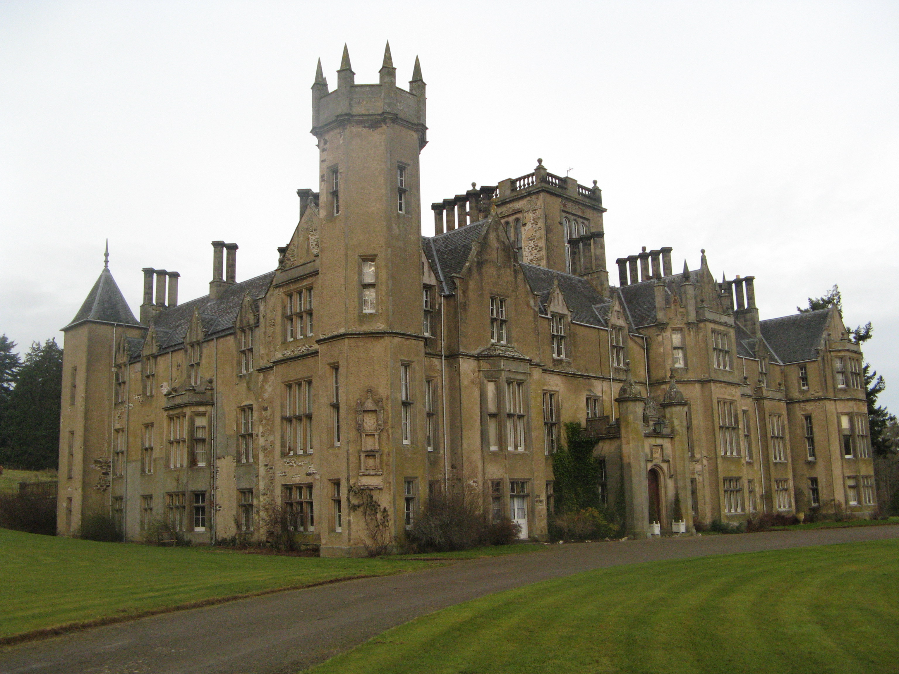
Forglen House
Forglen House is a mansion house that forms the centrepiece of the Forglen estate in the parish of Forglen, north-west of Turriff, Aberdeenshire, in the...

Dorlaithers Castle
Dorlaithers Castle was a castle about 2.5 miles (4.0 km) south-west of Turriff, Aberdeenshire, Scotland at Dorlaithers, south of the burn of Gask. It may...
Nearby Amenities
Located within 500m of 57.536664,-2.5321859Have you been to Burnend Pot?
Leave your review of Burnend Pot below (or comments, questions and feedback).