Boat Pool
Lake, Pool, Pond, Freshwater Marsh in Roxburghshire
Scotland
Boat Pool
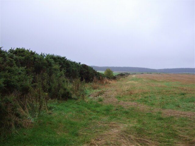
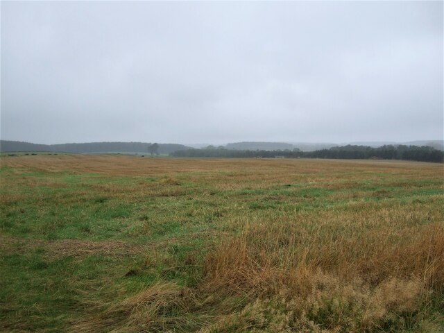
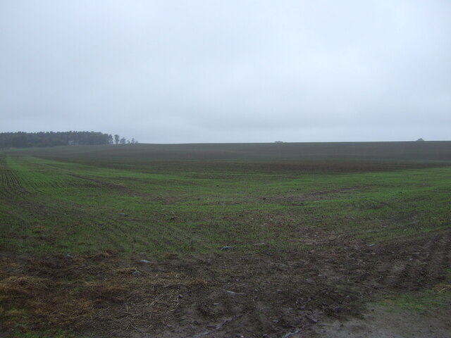
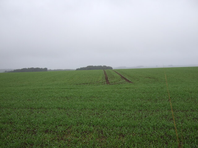
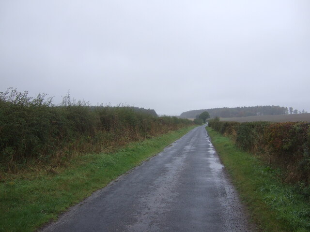
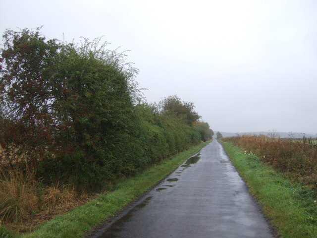
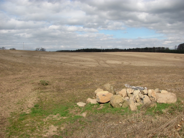
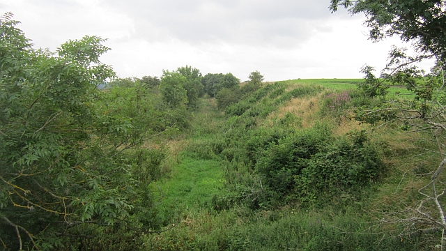
Boat Pool, located in Roxburghshire, is a stunning freshwater marsh that offers a serene and picturesque experience for visitors. Situated amidst the breathtaking landscape of southern Scotland, this captivating body of water is a popular destination for nature enthusiasts and birdwatchers.
Surrounded by lush greenery, Boat Pool is a small lake-like pool that serves as a haven for various species of flora and fauna. The pool is fed by natural springs and streams, ensuring a constant flow of fresh water. Its crystal-clear waters provide a safe habitat for numerous aquatic plants, including water lilies and reeds, which give the pool a vibrant and picturesque appearance.
The rich biodiversity of Boat Pool attracts a wide array of bird species, making it a birdwatcher's paradise. Visitors can spot a diverse range of waterfowl, such as swans, ducks, and geese, gracefully gliding across the pool's tranquil surface. The surrounding marshland is also home to a variety of smaller bird species, including warblers, finches, and waders.
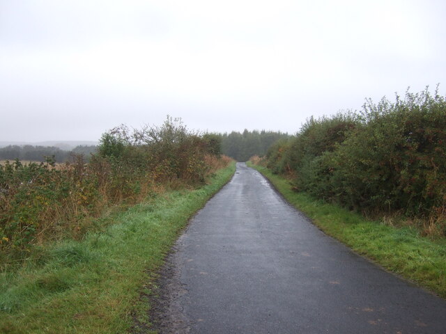
In addition to its natural beauty and abundant wildlife, Boat Pool offers several recreational activities for visitors to enjoy. Fishing enthusiasts can indulge in a peaceful day of angling, as the pool boasts a healthy population of fish, including trout and perch. The calm and peaceful atmosphere also makes Boat Pool an ideal spot for picnicking, walking, and simply immersing oneself in the serene surroundings.
Overall, Boat Pool in Roxburghshire is a captivating freshwater marsh that offers a harmonious blend of natural beauty, wildlife diversity, and recreational opportunities. Whether you are a nature lover, a birdwatching enthusiast, or simply seeking tranquility, Boat Pool is a must-visit destination in southern Scotland.
If you have any feedback on the listing, please let us know in the comments section below.
Boat Pool Images
Images are sourced within 2km of 55.577433/-2.5167367 or Grid Reference NT6731. Thanks to Geograph Open Source API. All images are credited.


Boat Pool is located at Grid Ref: NT6731 (Lat: 55.577433, Lng: -2.5167367)
Unitary Authority: The Scottish Borders
Police Authority: The Lothians and Scottish Borders
What 3 Words
///unfilled.contexts.long. Near Kelso, Scottish Borders
Nearby Locations
Related Wikis

Makerstoun
Makerstoun is a parish in the Scottish Borders area of Scotland, as well as the historic county of Roxburghshire, 4 miles (6 km) south-west of Kelso.The...

Rutherford railway station
Rutherford railway station served the parish of Maxton, Roxburghshire, Scotland from 1851 to 1964 on the Kelso Line. == History == The station opened in...

Roxburgh railway station
Roxburgh railway station was on the Kelso Line, and served the village of Roxburgh, Scottish Borders, from 1850 to 1964. == History == The station was...

Roxburgh (village)
Roxburgh (Gaelic, Rosbrog) is a village off the A699, by the River Teviot, near Kelso in the Scottish Borders area of Scotland. It should not be confused...

Wallace's Tower
Wallace's Tower is a ruined 16th-century L-plan tower house, about 3 miles (4.8 km) south west Kelso, Scottish Borders, Scotland, in Roxburgh, west of...

Borders Abbeys Way
The Borders Abbeys Way is a long-distance footpath in the Scottish Borders area of Scotland. It is a circular walkway and is 109 kilometres (68 mi) in...

Kirkbank railway station
Kirkbank railway station served Old Ormiston, in the Scottish Borders, Scotland from 1856 to 1948 on the Jedburgh Railway. == History == The station opened...
Capture of Roxburgh (1314)
The Capture of Roxburgh was a siege that took place in 1314, which was a major conflict in the First War of Scottish Independence. This siege was a prelude...
Nearby Amenities
Located within 500m of 55.577433,-2.5167367Have you been to Boat Pool?
Leave your review of Boat Pool below (or comments, questions and feedback).