Burdon, Great

Settlement in Durham

England

Burdon, Great

Access land beside old railway route An area of uncultivated land on the east side of the A66 as it bypasses Darlington on the town's east side.
The image was recorded from beside a roundabout on the A66 where the 'stub' of a branching road starts off in the direction of the view. It's likely that there is, or was, the intention to put in a new road in that direction. The land is owned or at least managed by The Woodland Trust who presumably see it as land to be conserved in its present state - an interesting conflict if that is so. 
The embankment to the left is part of an old railway route - the original line of the Stockton to Darlington Railway.
Access land beside old railway route Credit: Trevor Littlewood

Burdon is a small village located in County Durham, England. It is situated approximately 5 miles south of Sunderland and 6 miles east of Durham city center. The village is surrounded by picturesque countryside, with rolling hills and green fields creating a peaceful and idyllic setting.

Burdon is known for its historic buildings, including Burdon Hall, a Grade II listed building that dates back to the 18th century. The village also has a local pub, The Greyhound Inn, which is a popular spot for locals and visitors alike.

The community in Burdon is close-knit and friendly, with a strong sense of pride in their village. There are various community events and activities held throughout the year, bringing residents together to celebrate their shared heritage.

Overall, Burdon is a charming and quaint village that offers a peaceful retreat from the hustle and bustle of city life. Its beautiful surroundings and strong sense of community make it a desirable place to live or visit for those looking for a taste of rural English life.

If you have any feedback on the listing, please let us know in the comments section below.

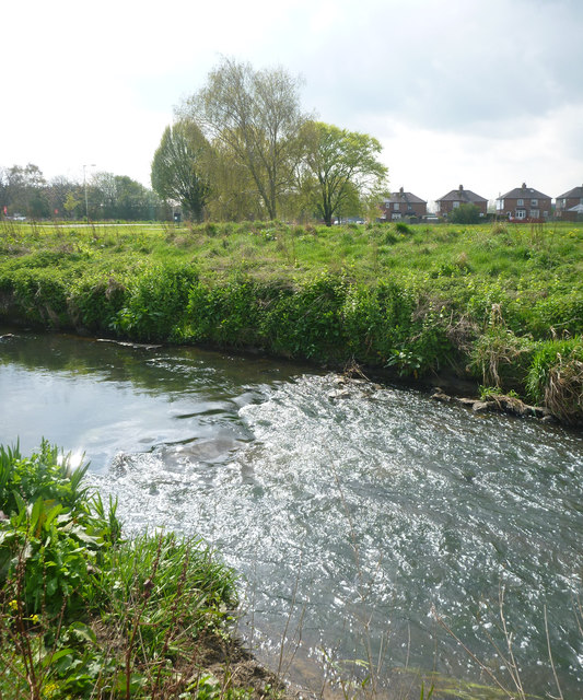
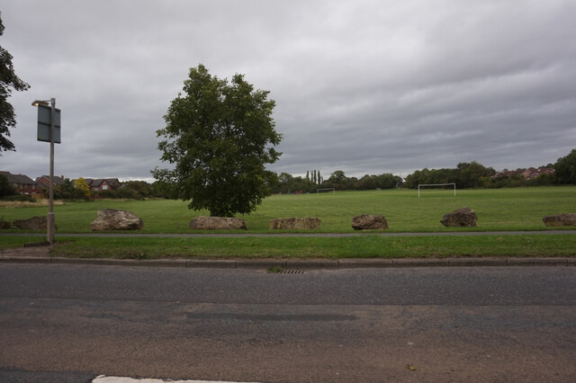
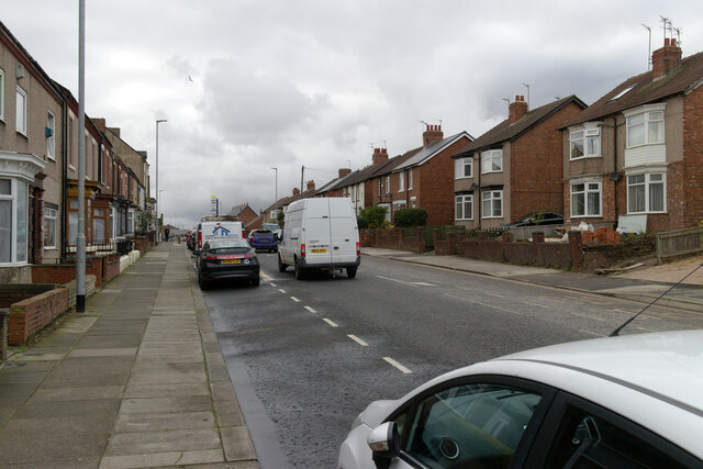
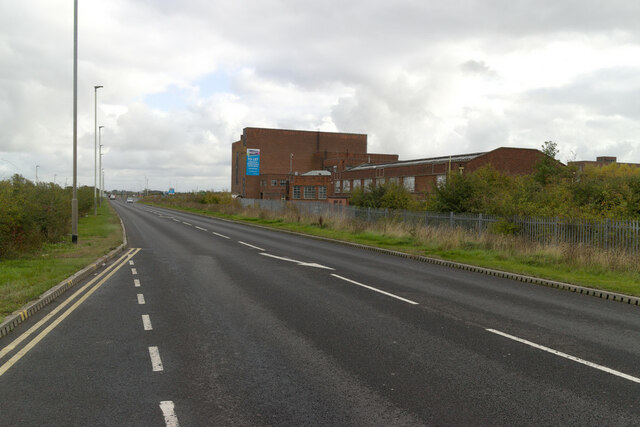
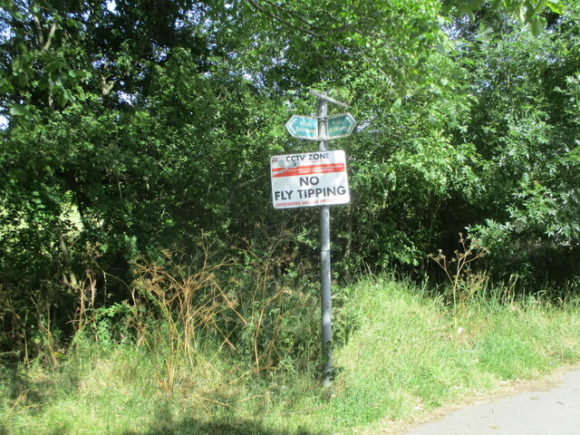
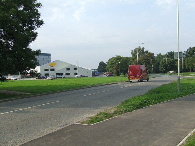
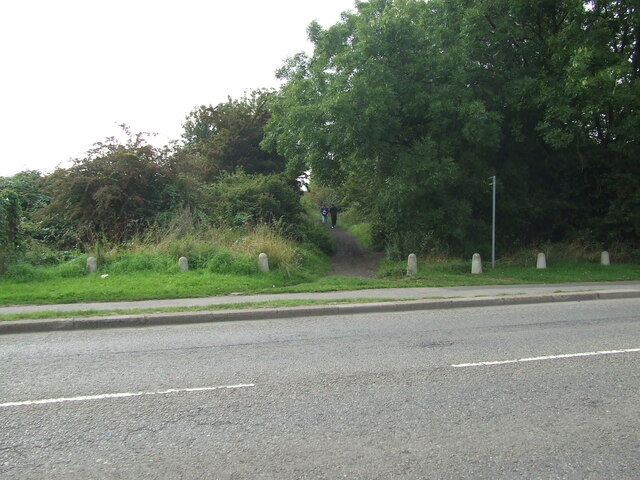
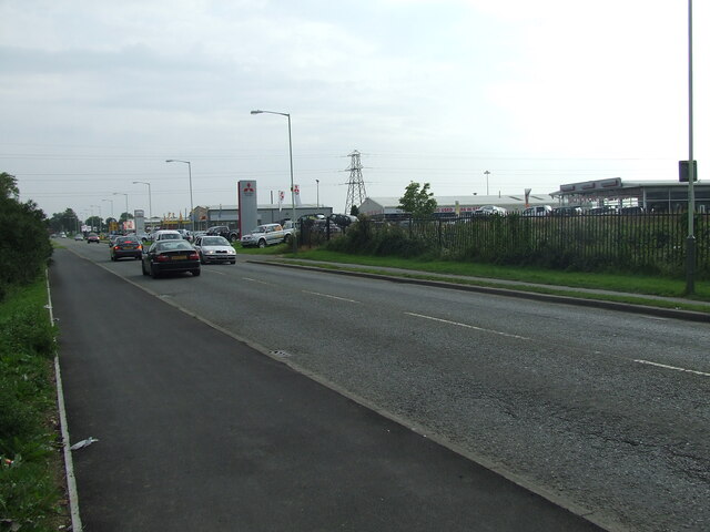
Burdon, Great Images

Images are sourced within 2km of 54.543603/-1.511087 or Grid Reference NZ3116. Thanks to Geograph Open Source API. All images are credited.

Access land beside old railway route An area of uncultivated land on the east side of the A66 as it bypasses Darlington on the town's east side.
The image was recorded from beside a roundabout on the A66 where the 'stub' of a branching road starts off in the direction of the view. It's likely that there is, or was, the intention to put in a new road in that direction. The land is owned or at least managed by The Woodland Trust who presumably see it as land to be conserved in its present state - an interesting conflict if that is so. 
The embankment to the left is part of an old railway route - the original line of the Stockton to Darlington Railway.
Access land beside old railway route
An area of uncultivated land on the east side of the A66 as it bypasses Darlington on the town's east side. The image was recorded from beside a roundabout on the A66 where the 'stub' of a branching road starts off in the direction of the view. It's likely that there is, or was, the intention to put in a new road in that direction. The land is owned or at least managed by The Woodland Trust who presumably see it as land to be conserved in its present state - an interesting conflict if that is so. The embankment to the left is part of an old railway route - the original line of the Stockton to Darlington Railway.
Houses in Great Burdon Great Burdon is a small village within the unitary authority of Darlington, located at the north-eastern corner of that town. The houses face on to a green on the north side of Stockton Road.
Houses in Great Burdon
Great Burdon is a small village within the unitary authority of Darlington, located at the north-eastern corner of that town. The houses face on to a green on the north side of Stockton Road.
Riffle in the River Skerne The River Skerne, here seen flowing towards central Darlington, passing through meadows in Haughton Le Skerne, has been the subject of much environmental improvement, especially downstream, where it used to be heavily polluted. The water here is relatively clean for an industrial area, and wild flowers populate the banks as it traverses the suburbs.
Riffle in the River Skerne
The River Skerne, here seen flowing towards central Darlington, passing through meadows in Haughton Le Skerne, has been the subject of much environmental improvement, especially downstream, where it used to be heavily polluted. The water here is relatively clean for an industrial area, and wild flowers populate the banks as it traverses the suburbs.
Pipe over the River Skerne Pipe over the River Skerne
Pipe over the River Skerne
River Skerne at Barmpton River Skerne at Barmpton
River Skerne at Barmpton
Old Milestone by the A1150 in Great Burdon Carved stone post by the A1150, in parish of GREAT BURDON (DARLINGTON District), The Green, 15m West of No. 2, on grass verge beside newer post <a href="https://www.geograph.org.uk/photo/6414958">NZ3116 : Old Milepost by the A1150 in Great Burdon</a>, on North side of road. Durham county stone erected by the Stockton & Barnard Castle turnpike trust in the 19th century. 

Inscription once read:-
: (Darlington / 2) : : (Stockton / 9) : 

Grade II Listed. List Entry Number: 1299444
<span class="nowrap"><a title="https://historicengland.org.uk/listing/the-list/list-entry/1299444" rel="nofollow ugc noopener" href="https://historicengland.org.uk/listing/the-list/list-entry/1299444">Link</a><img style="margin-left:2px;" alt="External link" title="External link - shift click to open in new window" src="https://s1.geograph.org.uk/img/external.png" width="10" height="10"/></span>

Milestone Society National ID: DU_DAST02A.
Old Milestone by the A1150 in Great Burdon
Carved stone post by the A1150, in parish of GREAT BURDON (DARLINGTON District), The Green, 15m West of No. 2, on grass verge beside newer post NZ3116 : Old Milepost by the A1150 in Great Burdon, on North side of road. Durham county stone erected by the Stockton & Barnard Castle turnpike trust in the 19th century. Inscription once read:- : (Darlington / 2) : : (Stockton / 9) : Grade II Listed. List Entry Number: 1299444 LinkExternal link Milestone Society National ID: DU_DAST02A.
Old Milepost by the A1150 in Great Burdon Cast iron post by the A1150, in parish of GREAT BURDON (DARLINGTON District), The Green, 15m W of No. 2, on grass verge, on North side of road. In front of older stone. Durham County iron casting, erected by the County Council in the 19th/20th century. 

Inscription reads:- : STOCKTON / 9 : : DARLINGTON / 2 : : DURHAM COUNTY :

Listed. 

Milestone Society National ID: DU_DAST02.
Old Milepost by the A1150 in Great Burdon
Cast iron post by the A1150, in parish of GREAT BURDON (DARLINGTON District), The Green, 15m W of No. 2, on grass verge, on North side of road. In front of older stone. Durham County iron casting, erected by the County Council in the 19th/20th century. Inscription reads:- : STOCKTON / 9 : : DARLINGTON / 2 : : DURHAM COUNTY : Listed. Milestone Society National ID: DU_DAST02.
Springfield Park on Salters Lane
Haughton Road, Darlington
Darlington Eastern transport Corridor near Lingfield Point
Darlington Eastern Transport Corridor approaching the A66
Signs on Green Lane Two public bridleway signs and a no fly tipping sign on Green Lane
Signs on Green Lane
Two public bridleway signs and a no fly tipping sign on Green Lane
Brampton Lane meeting Whinbush Way
McMullan Road, Darlington. Taken on the 11th September 2006 from the site of the proposed roundabout for the Darlington Eastern Corridor Road Scheme (B6279).
The MSD Crane Hire depot can be seen on the left of the image.
McMullan Road, Darlington.
Taken on the 11th September 2006 from the site of the proposed roundabout for the Darlington Eastern Corridor Road Scheme (B6279). The MSD Crane Hire depot can be seen on the left of the image.
Route of former Stockton& Darlington Railway Line, Darlington. The route of the Stockton & Darlington Railway viewed on the 11th September 2006, where it approaches McMullan Road Darlington. 
The B6279 Darlington Eastern Corridor was later constructed on the same route as the former railway.
Route of former Stockton& Darlington Railway Line, Darlington.
The route of the Stockton & Darlington Railway viewed on the 11th September 2006, where it approaches McMullan Road Darlington. The B6279 Darlington Eastern Corridor was later constructed on the same route as the former railway.
McMullan Road, Darlington. Car dealerships located on McMullan Road on the 11th September 2006.
McMullan Road, Darlington.
Car dealerships located on McMullan Road on the 11th September 2006.
Old Milepost by A1150, The Green, 15m West of No. 2 The Milepost is located on grass verge on the North of the road.  Parish of Great Burdon (Darlington District). Cast iron post, Durham county iron casting design, erected by the County Council in the 19/20th Century. 

Inscription reads:-  
STOCKTON / 9  : : DARLINGTON / 2 : : DURHAM COUNTY  

Grade II listed. List Entry Number: 1299444 <span class="nowrap"><a title="https://historicengland.org.uk/listing/the-list/list-entry/1299444" rel="nofollow ugc noopener" href="https://historicengland.org.uk/listing/the-list/list-entry/1299444">Link</a><img style="margin-left:2px;" alt="External link" title="External link - shift click to open in new window" src="https://s1.geograph.org.uk/img/external.png" width="10" height="10"/></span> 

Milestone Society National ID: DU_DAST02
Old Milepost by A1150, The Green, 15m West of No. 2
The Milepost is located on grass verge on the North of the road.  Parish of Great Burdon (Darlington District). Cast iron post, Durham county iron casting design, erected by the County Council in the 19/20th Century.  Inscription reads:- STOCKTON / 9 : : DARLINGTON / 2 : : DURHAM COUNTY Grade II listed. List Entry Number: 1299444 LinkExternal link Milestone Society National ID: DU_DAST02
Pedestrian crossing on B6279
Show me another place!

Burdon, Great is located at Grid Ref: NZ3116 (Lat: 54.543603, Lng: -1.511087)

Unitary Authority: Darlington

Police Authority: Durham

What 3 Words

///clock.smart.rated. Near Darlington, Co. Durham

Nearby Locations

Great Burdon Burdon, Great

Related Wikis

Great Burdon

Great Burdon is a village in the borough of Darlington and the ceremonial county of County Durham, England. It is situated to the north-east of Darlington...

Haughton-le-Skerne

Haughton-le-Skerne is a village in the borough of Darlington in the ceremonial county of County Durham, England. It is situated in the north east of Darlington...

Whinfield

Whinfield is a suburb of Darlington, in the Borough of Darlington in County Durham, England. It is situated to the north of Darlington. == Transport... ==

Haughton Academy

Haughton Academy (formerly Haughton Community School) is a coeducational secondary school located in the Haughton-le-Skerne area of Darlington, County...

Nearby Amenities

Located within 500m of 54.543603,-1.511087
Great Burdon
Is In Country Code: GB
Is In County: County Durham
Is In Municipality: Darlington
Place: hamlet
Source: NPE
Wikidata: Q1960986
Lat/Long: 54.5420967/-1.5103217
Fountain
Lat/Long: 54.542235/-1.5147237
Bus: yes
Public Transport: stop_position
Lat/Long: 54.5422144/-1.5106142
Blair's
Addr City: Darlington
Addr Street: Barmpton Lane
Shop: garden_centre
Lat/Long: 54.5457428/-1.5143795
Crossing
Bicycle: yes
Crossing: traffic_signals
Lat/Long: 54.5423578/-1.5158923
Turning Circle
Lat/Long: 54.5450569/-1.5144506
Crossing
Bicycle: yes
Crossing: traffic_signals
Lat/Long: 54.5415553/-1.5154992
Bus Stop
Lat/Long: 54.5424629/-1.5164838
Post Box
Ref: DL1 320
Lat/Long: 54.5463475/-1.5152377
Post Box
Brand: Royal Mail
Brand Wikidata: Q638098
Operator: Royal Mail
Operator Wikidata: Q638098
Post Box Type: pillar
Ref: DL1 53
Royal Cypher: EIIR
Royal Cypher Wikidata: Q33102113
Lat/Long: 54.5423302/-1.5161771
Post Box
Ref: DL1 197
Lat/Long: 54.54214/-1.5105517
Great Burdon
Public Transport: platform
Lat/Long: 54.5421749/-1.5106241
Great Burdon
Public Transport: platform
Lat/Long: 54.5422783/-1.5106349
Bus: yes
Public Transport: stop_position
Lat/Long: 54.5422197/-1.5106559
Traffic Signals
Crossing: no
Traffic Signals Direction: forward
Lat/Long: 54.5415247/-1.5155344
Traffic Signals
Crossing: no
Traffic Signals Direction: backward
Lat/Long: 54.5415826/-1.5154678
Traffic Signals
Crossing: no
Traffic Signals Direction: forward
Lat/Long: 54.542372/-1.5159722
Traffic Signals
Crossing: no
Traffic Signals Direction: backward
Lat/Long: 54.5423454/-1.5158278
Bus Stop
Bench: no
Bus: yes
Public Transport: platform
Shelter: no
Lat/Long: 54.5427871/-1.5183902
The data included in this document is from www.openstreetmap.org. The data is made available under ODbL.

Have you been to Burdon, Great?

Leave your review of Burdon, Great below (or comments, questions and feedback).