Binky Linn
Lake, Pool, Pond, Freshwater Marsh in Northumberland
England
Binky Linn

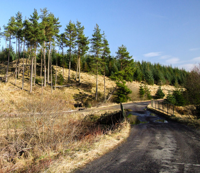
Binky Linn is a picturesque freshwater marsh located in Northumberland, England. Nestled amidst the stunning natural beauty of the region, this serene and tranquil spot attracts nature lovers and outdoor enthusiasts from near and far.
The highlight of Binky Linn is its enchanting lake, which serves as the focal point of the area. The lake is surrounded by lush greenery, with tall trees and vibrant wildflowers dotting the landscape. The crystal-clear waters of the lake create a mesmerizing reflection of the surrounding scenery, making it a photographer's paradise.
Adjacent to the lake, there is a small pool that adds to the charm of Binky Linn. The pool is ideal for a refreshing dip on a hot summer day or for leisurely paddling around in a kayak or canoe. Its calm and peaceful atmosphere provides a perfect escape from the hustle and bustle of daily life.
Furthermore, Binky Linn is home to a diverse array of wildlife. The freshwater marsh attracts numerous species of birds, including ducks, swans, and herons, making it a popular spot for birdwatching. Additionally, the marsh serves as a habitat for various aquatic plants and animals, adding to its ecological significance.
Visitors to Binky Linn can enjoy leisurely walks along the lake's edge, taking in the breathtaking views and immersing themselves in the tranquility of nature. The area is also equipped with picnic spots, allowing visitors to relax and enjoy a meal amidst the idyllic surroundings.
In summary, Binky Linn in Northumberland is a hidden gem, offering a blissful escape for those seeking natural beauty, peacefulness, and a chance to connect with the wonders of the natural world.
If you have any feedback on the listing, please let us know in the comments section below.
Binky Linn Images
Images are sourced within 2km of 55.150951/-2.5335206 or Grid Reference NY6684. Thanks to Geograph Open Source API. All images are credited.


Binky Linn is located at Grid Ref: NY6684 (Lat: 55.150951, Lng: -2.5335206)
Unitary Authority: Northumberland
Police Authority: Northumbria
What 3 Words
///sprays.cookery.obstinate. Near Bellingham, Northumberland
Nearby Locations
Related Wikis

Kielder Water
Kielder Water is a large man-made reservoir in Northumberland in North East England. It is the largest artificial lake in the United Kingdom by capacity...

Plashetts railway station
Plashetts railway station is a closed stone built railway station that served the mining hamlet of Plashetts, in Northumberland, England, which is now...

Kielder Forest
Kielder Forest is a large forestry plantation in Northumberland, England, surrounding Kielder village and the Kielder Water reservoir. It is the largest...
HMS Standard (shore establishment)
HMS Standard was a British Royal Navy shore establishment between 1942 and 1945. Situated well away from the sea near Kielder in Northumberland, the base...

Falstone Bridge
Falstone Bridge is a stone bridge across the River North Tyne at Falstone in Northumberland. == History == The bridge, which has three stone arches, was...

Sighty Crag
Sighty Crag is a hill in the southern part of the Kielder Forest region in northern England, a region which also includes its fellow Marilyns of Peel Fell...
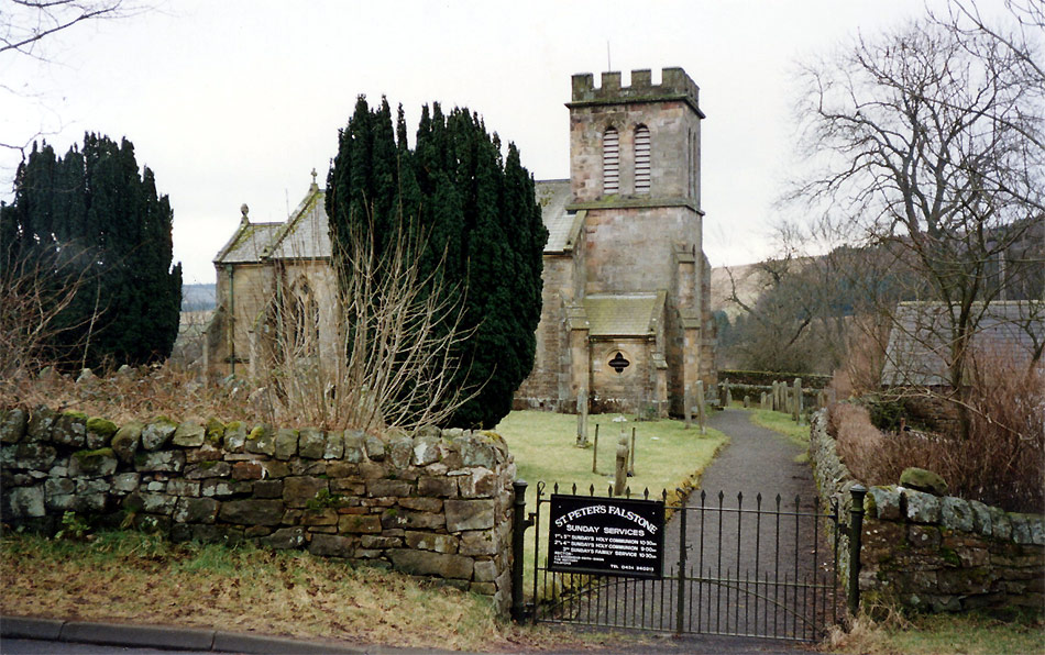
Falstone
Falstone is a small village in Northumberland, England, just east of Kielder Water. The village is 8 miles (13 km) from the Anglo–Scottish border. The...

Churnsike Lodge
Churnsike Lodge is an early Victorian hunting lodge situated in the parish of Greystead, West Northumberland, England. Constructed in 1850 by the Charlton...
Nearby Amenities
Located within 500m of 55.150951,-2.5335206Have you been to Binky Linn?
Leave your review of Binky Linn below (or comments, questions and feedback).