Watch Water Reservoir
Lake, Pool, Pond, Freshwater Marsh in Berwickshire
Scotland
Watch Water Reservoir
Watch Water Reservoir, located in Berwickshire, Scotland, is a picturesque body of water that serves as a vital freshwater resource for the surrounding area. Covering an area of approximately 30 hectares, the reservoir is often referred to as a lake due to its size and depth.
The reservoir was constructed in the early 20th century to meet the growing demand for water in the region. It is primarily fed by the Watch Water Burn, a small river that flows through the nearby countryside. The water is collected and stored in the reservoir, ensuring a steady supply for agricultural, industrial, and domestic use.
Surrounded by rolling hills and scenic landscapes, Watch Water Reservoir offers a tranquil retreat for nature enthusiasts and outdoor enthusiasts alike. The area around the reservoir is home to a diverse range of flora and fauna, including various species of birds, fish, and aquatic plants.
Visitors to the reservoir can enjoy a range of recreational activities such as fishing, boating, and birdwatching. The reservoir is well-stocked with fish, including brown trout, rainbow trout, and perch, making it a popular spot for anglers. Boating enthusiasts can also take advantage of the calm waters for leisurely sailing or canoeing.
Additionally, the reservoir and its surrounding marshland provide important habitats for a variety of bird species, including ducks, swans, and herons. Birdwatchers can often spot these magnificent creatures in their natural habitat, making it a popular destination for birdwatching enthusiasts.
In conclusion, Watch Water Reservoir in Berwickshire is an idyllic freshwater resource and a haven for nature lovers. Its scenic beauty, diverse wildlife, and recreational opportunities make it a must-visit destination for those seeking a peaceful retreat in the Scottish countryside.
If you have any feedback on the listing, please let us know in the comments section below.
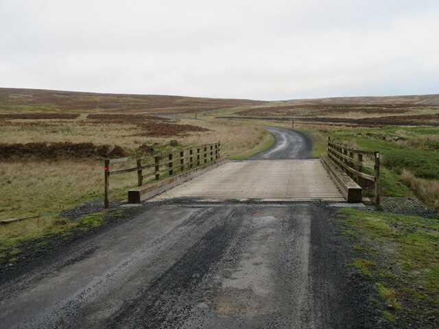
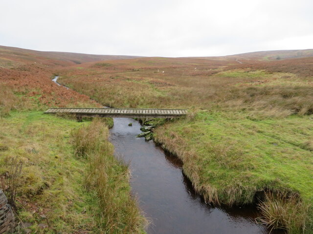
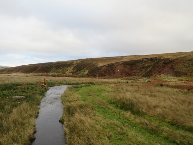
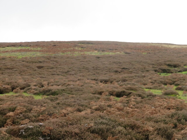
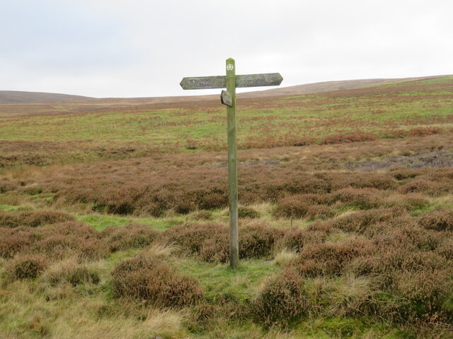
Watch Water Reservoir Images
Images are sourced within 2km of 55.799521/-2.5440807 or Grid Reference NT6556. Thanks to Geograph Open Source API. All images are credited.
![Woodland at Scarlaw Looking east from the Fallago Rig Wind Farm access road, east of Twinlaw. Watch Water Reservoir can be seen through the trees, and the hill in the right distance is Dirrington Great Law [5.3km].](https://s3.geograph.org.uk/geophotos/07/33/96/7339667_357c3e96.jpg)
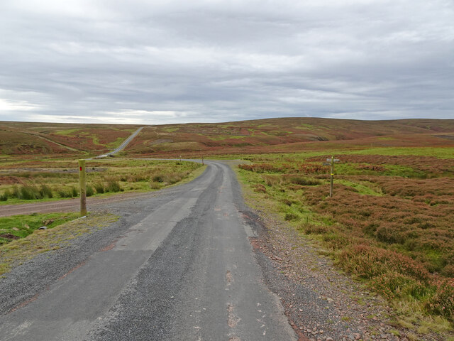
![The Fallago Rig Wind Farm access road Heading north over the Lammermuir hills just over 320m [&gt;1000feet]. Not the shortest route from &#039;civilization&#039; but much better for the local communities.](https://s1.geograph.org.uk/geophotos/07/33/96/7339677_5b1e5c1e.jpg)
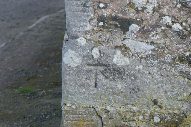
![Memorial [?] pillar on Dunside Hill Just off the Fallago Rig Wind Farm access road at the col between Dunside Hill and Scar Law. Inscribed J.O.H. 1994, but I have yet to find anything more about it.](https://s2.geograph.org.uk/geophotos/07/34/05/7340550_67e7e0d8.jpg)
Watch Water Reservoir is located at Grid Ref: NT6556 (Lat: 55.799521, Lng: -2.5440807)
Unitary Authority: The Scottish Borders
Police Authority: The Lothians and Scottish Borders
What 3 Words
///region.fruits.rising. Near Duns, Scottish Borders
Nearby Locations
Related Wikis

Watch Water
The Watch Water is a river in the Scottish Borders area of Scotland. It rises in the Lammermuir Hills, around 8 kilometres (5.0 mi) west of Longformacus...

Longformacus
Longformacus (Scottish Gaelic: Longphort Mhacais) is a small village in Berwickshire in the Scottish Borders area of Scotland. It is around 10 kilometres...

Longformacus House
Longformacus House is a mansion near the village of Longformacus, Scottish Borders, Scotland. == History == The estate was once owned by the Earls of...
Dirrington Great Law
Dirrington Great Law is a hill in the Scottish Borders area of Scotland, in the former county of Berwickshire. The summit is around 2.5 kilometres (1.6...

Mutiny Stones
The Mutiny Stones are a megalithic monument in the Lammermuir Hills, Scotland.Situated on Byrecleugh Rig, the nearest centre of habitation is at Longformacus...

Blackadder Water
Blackadder Water () is a river in Berwickshire in the Scottish Borders area of Scotland, forming part of the River Tweed system. It reached 2.84m at Mouthbridge...

Bedshiel
Bedshiel is a village in the Scottish Borders area of Scotland on the B6456, six miles from Duns, two miles from Greenlaw, Longformacus and Westruther...

Cranshaws Castle
Cranshaws Castle or Cranshaws Tower is a privately owned 15th-century pele situated by the village of Cranshaws in Berwickshire, Scotland. The building...
Nearby Amenities
Located within 500m of 55.799521,-2.5440807Have you been to Watch Water Reservoir?
Leave your review of Watch Water Reservoir below (or comments, questions and feedback).