Blan Loch

Lake, Pool, Pond, Freshwater Marsh in Orkney

Scotland

Blan Loch

Sand of Rothiesholm Looking east along the Sand of Rothiesholm, an almost 2km stretch of beautiful white sand completely deserted despite a lovely summers day.
Sand of Rothiesholm Credit: Adam Ward

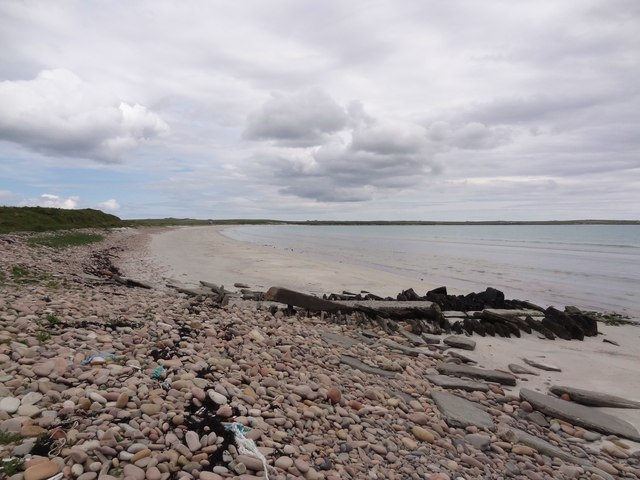
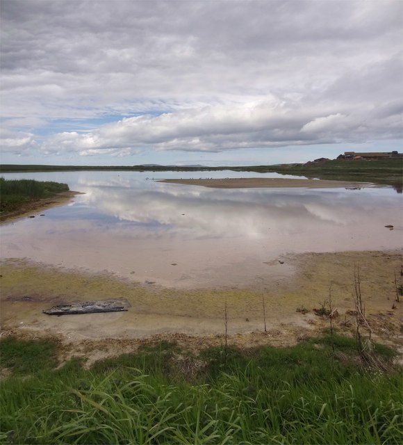
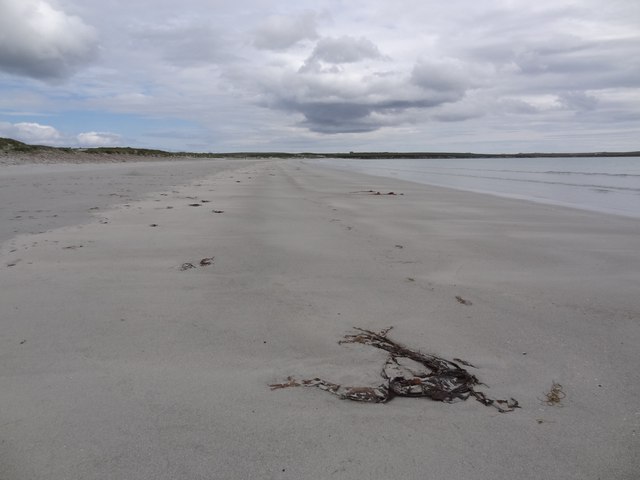
Blan Loch, located in Orkney, Scotland, is a picturesque freshwater marsh that offers a serene and captivating natural environment. This enchanting body of water is renowned for its stunning beauty and ecological significance. Blan Loch is situated in a low-lying area, surrounded by rolling hills and lush green vegetation, making it a truly idyllic spot.

Covering an area of approximately 50 acres, Blan Loch is relatively small compared to other bodies of water in the region. The lake is formed by a combination of natural springs and rainfall, ensuring a constant supply of freshwater. The water is crystal clear, reflecting the vibrant colors of the surrounding landscape.

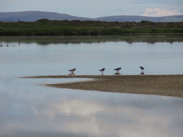
The marshy surroundings of Blan Loch are home to a diverse range of flora and fauna. The rich aquatic vegetation includes reeds, rushes, and water lilies, which provide habitat and food for numerous species. It is not uncommon to spot various waterfowl, such as ducks, geese, and swans, gracefully gliding across the tranquil surface of the lake.

Blan Loch attracts both locals and tourists who seek a peaceful retreat in nature. It offers a variety of recreational activities, such as fishing, boating, and birdwatching. Anglers can try their luck at catching brown trout, which thrive in the lake's pristine waters.

Overall, Blan Loch is a mesmerizing freshwater marsh that showcases the beauty and diversity of Orkney's natural landscape. Its serene atmosphere, abundant wildlife, and recreational opportunities make it a must-visit destination for nature enthusiasts and those seeking tranquility amidst the scenic Scottish countryside.

If you have any feedback on the listing, please let us know in the comments section below.
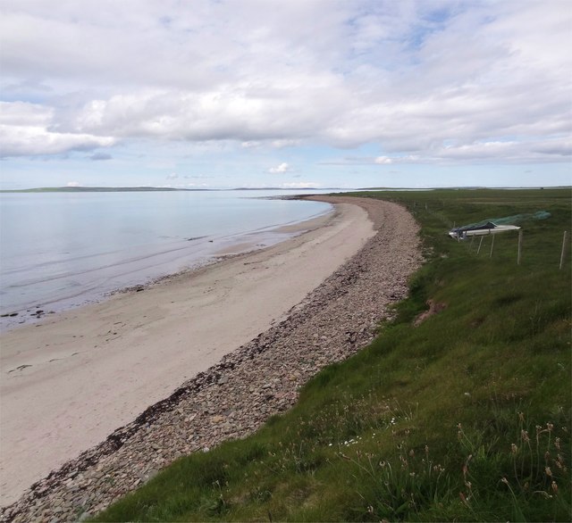
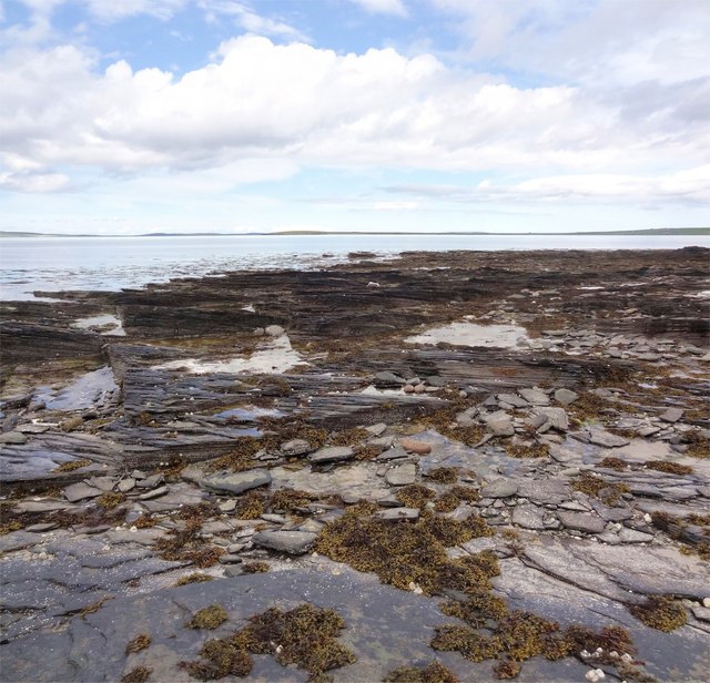
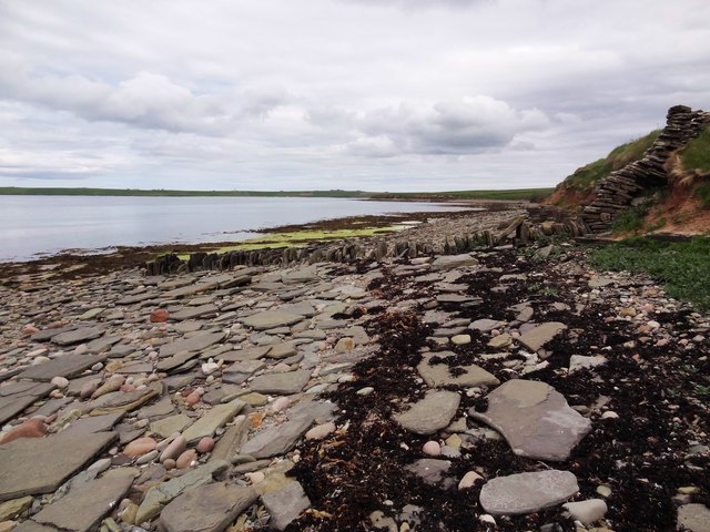
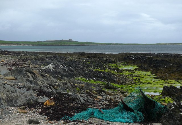
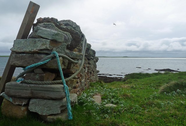
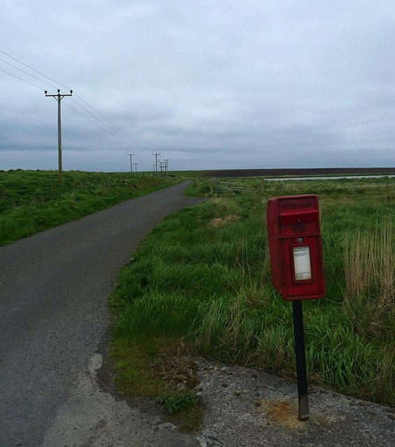
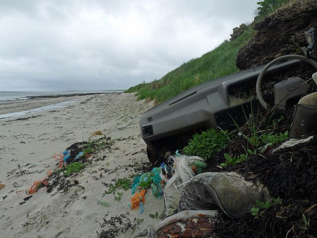
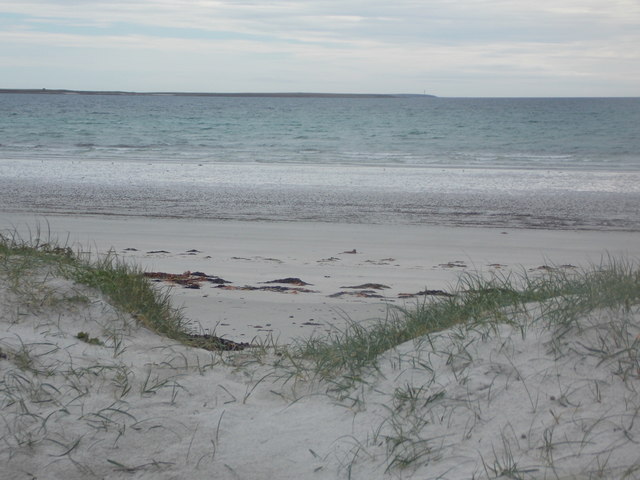
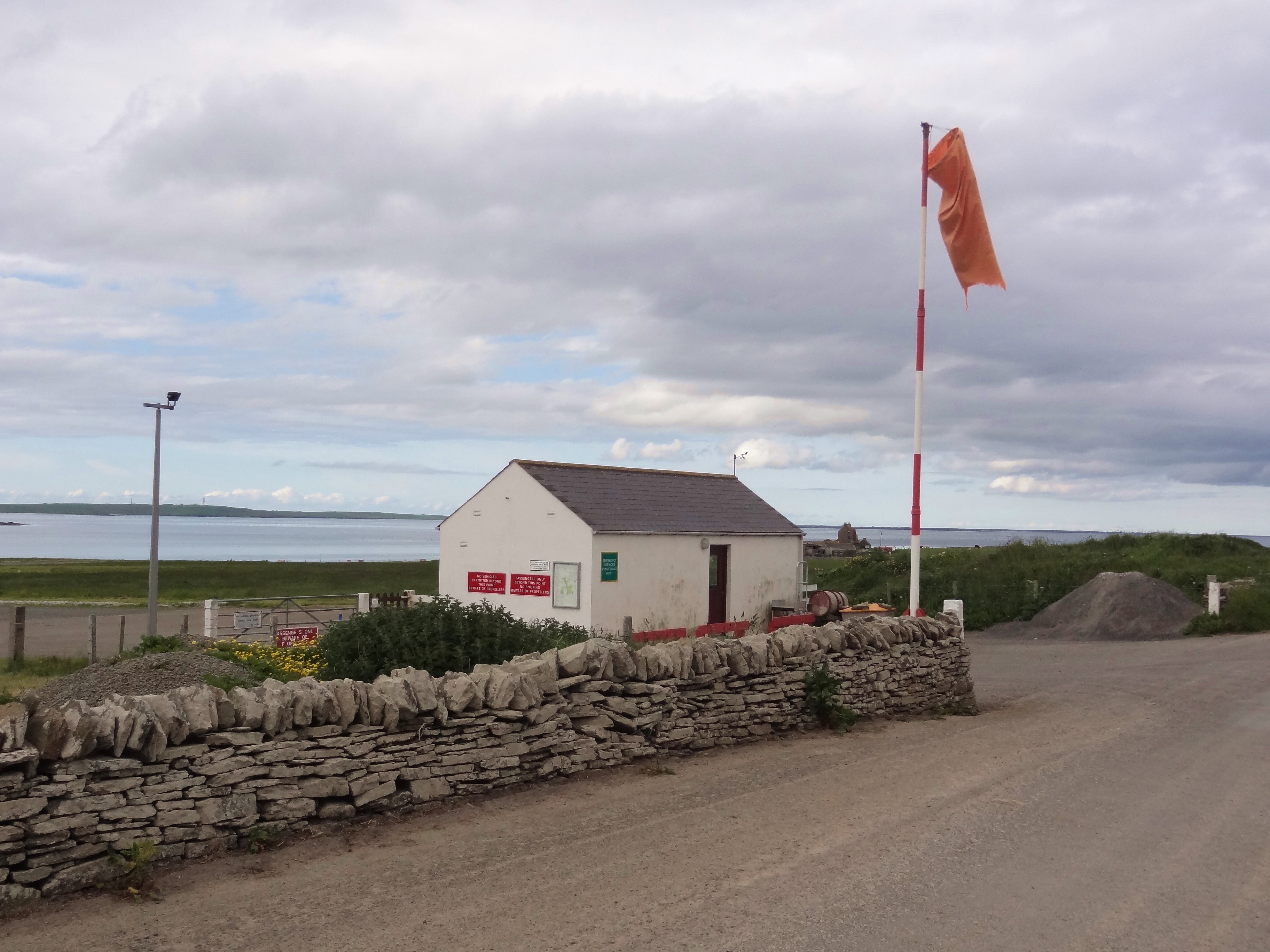
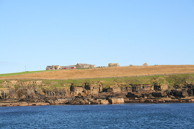
Blan Loch Images

Images are sourced within 2km of 59.108572/-2.6396057 or Grid Reference HY6324. Thanks to Geograph Open Source API. All images are credited.

Sand of Rothiesholm Looking east along the Sand of Rothiesholm, an almost 2km stretch of beautiful white sand completely deserted despite a lovely summers day.
Sand of Rothiesholm
Looking east along the Sand of Rothiesholm, an almost 2km stretch of beautiful white sand completely deserted despite a lovely summers day.
Loch of Rothiesholm Loch of Rothiesholm - a haven for many wading birds. Part of the large farm of Bu can also be seen.
Loch of Rothiesholm
Loch of Rothiesholm - a haven for many wading birds. Part of the large farm of Bu can also be seen.
Haematopus ostralegus Gregarious Oystercatchers on the Loch of Rothiesholm.
Haematopus ostralegus
Gregarious Oystercatchers on the Loch of Rothiesholm.
Bay of Holland Looking across the immaculate beach of the Sand of Rothiesholm to Bay of Holland and the turbines of Bu Wind Farm
<a title="https://www.geograph.org.uk/photo/1371392" href="https://www.geograph.org.uk/photo/1371392">Link</a>
Bay of Holland
Looking across the immaculate beach of the Sand of Rothiesholm to Bay of Holland and the turbines of Bu Wind Farm Link
Seaweed, Beach and Sky The pristine beach of Sand of Rothiesholm and nary a soul in sight. Almost 2km of white sands, I am about half way along the beach so there is a similar amount of beach behind me.
Seaweed, Beach and Sky
The pristine beach of Sand of Rothiesholm and nary a soul in sight. Almost 2km of white sands, I am about half way along the beach so there is a similar amount of beach behind me.
Main Road on Stronsay Main road heading to Stronsays southwest peninsula near Dale Farm, looking across Bay of Holland to the wind farm on Rothiesholm Head.
Main Road on Stronsay
Main road heading to Stronsays southwest peninsula near Dale Farm, looking across Bay of Holland to the wind farm on Rothiesholm Head.
Bight of Baywest One of the many pristine and deserted beaches on Stronsay - this one sounds like it should be in the Florida Keys!
Looking north to Eday and Sanday.
Bight of Baywest
One of the many pristine and deserted beaches on Stronsay - this one sounds like it should be in the Florida Keys! Looking north to Eday and Sanday.
North Taing Near low tide on this square of mainly rock and skerry.
North Taing
Near low tide on this square of mainly rock and skerry.
Looking to the Coppa The Coppa is the small headland seen in the distance, while here a field boundary continues right to the waters edge across the boulders on the shore.
Looking to the Coppa
The Coppa is the small headland seen in the distance, while here a field boundary continues right to the waters edge across the boulders on the shore.
Bight of Matpow Little bay on the curiously and lovely named Bight of Matpow on the west side of Stronsay.
Bight of Matpow
Little bay on the curiously and lovely named Bight of Matpow on the west side of Stronsay.
Stone Sentinals Difficult to tell if these 2 small standing stones are natural or have been put there. If so - to what purpose?
On the west side of Stronsay in the Bight of Matpow looking across the small island of Linga Holm to Eday.
Stone Sentinals
Difficult to tell if these 2 small standing stones are natural or have been put there. If so - to what purpose? On the west side of Stronsay in the Bight of Matpow looking across the small island of Linga Holm to Eday.
Coastline, Holland Bay, Stronsay, Orkney Looking along the bay towards Holland Farm.
Coastline, Holland Bay, Stronsay, Orkney
Looking along the bay towards Holland Farm.
Bay of Holland, Stronsay, Orkney Looking towards Holland Farm.  The photo was taken from the path which runs along the coast between Mervar and the croft which can be seen in <a href="https://www.geograph.org.uk/photo/3994555">HY6322 : Farmland, Latan, Stronsay, Orkney</a>.
Bay of Holland, Stronsay, Orkney
Looking towards Holland Farm. The photo was taken from the path which runs along the coast between Mervar and the croft which can be seen in HY6322 : Farmland, Latan, Stronsay, Orkney.
Coastline, Bight of Aith, Stronsay, Orkney
Letter box by the B9061, Stronsay, Orkney The letter box is situated by Bu Farm.  Bu Loch can be seen beyond it.
Letter box by the B9061, Stronsay, Orkney
The letter box is situated by Bu Farm. Bu Loch can be seen beyond it.
Abandoned car on the beach, Bay of Holland, Stronsay, Orkney Anyone need parts for an Austin Maestro?
Abandoned car on the beach, Bay of Holland, Stronsay, Orkney
Anyone need parts for an Austin Maestro?
Stronsay: the church Bulky and central to the island, the Church of Scotland kirk was built in the mid 1950s. The church's website states that they are seeking a new minister but in the meantime they "very much appreciate the efforts of local people, plus two gentlemen from the Orkney mainland who have recently been ordained to the local ministry, who ensure services are held Sunday by Sunday" for their congregation of around 81 parishioners.
Stronsay: the church
Bulky and central to the island, the Church of Scotland kirk was built in the mid 1950s. The church's website states that they are seeking a new minister but in the meantime they "very much appreciate the efforts of local people, plus two gentlemen from the Orkney mainland who have recently been ordained to the local ministry, who ensure services are held Sunday by Sunday" for their congregation of around 81 parishioners.
Stronsay: arriving at Sand of Rothiesholm A short path from the car park emerges through the modest dunes and arrives at the beach.
Stronsay: arriving at Sand of Rothiesholm
A short path from the car park emerges through the modest dunes and arrives at the beach.
Show me another place!

Blan Loch is located at Grid Ref: HY6324 (Lat: 59.108572, Lng: -2.6396057)

Unitary Authority: Orkney Islands

Police Authority: Highlands and Islands

What 3 Words

///mixing.realm.convey. Near Whitehall, Orkney Islands

Nearby Locations

Blan Loch

Related Wikis

Stronsay

Stronsay () is an island in Orkney, Scotland. It is known as Orkney's 'Island of Bays', owing to an irregular shape with miles of coastline, with three...

Linga Holm

Linga Holm, commonly known as Linga, Midgarth and the Holm of Midgarth is an uninhabited Scottish island extending to approximately 57 hectares (0.22...

Linga Sound, Orkney

Linga Sound is the strait between the islands of Linga Holm and Stronsay in the Orkney islands of Scotland. It leads into St. Catherines Bay from the north...

Whitehall, Orkney

Whitehall is the village on the island of Stronsay, in the Orkney Islands of Scotland. It is a small village with about 50 houses. It also has a shop...

Stronsay Airport

Stronsay Airport (IATA: SOY, ICAO: EGER) is located 15 nautical miles (28 km; 17 mi) northeast by north of Kirkwall Airport on Stronsay, Orkney Islands...

Papa Stronsay

Papa Stronsay (Scots: Papa Stronsee; Old Norse: Papey Minni) is a small island in Orkney, Scotland, lying north east of Stronsay. It is 74 hectares (183...

Sons of the Most Holy Redeemer

The Congregation of the Sons of the Most Holy Redeemer (Latin: Filii Sanctissimi Redemptoris; FSSR), commonly known as the Transalpine Redemptorists or...

Odness

Odness is a peninsula and headland on the island of Stronsay, in Orkney, Scotland. The Odness peninsula contains the farm of Odiness. Odness is also within...

Nearby Amenities

Located within 500m of 59.108572,-2.6396057
Material: wood
Power: pole
Lat/Long: 59.1086052/-2.6316235
Material: wood
Power: pole
Lat/Long: 59.1078538/-2.640054
Material: wood
Power: pole
Lat/Long: 59.1077134/-2.6416207
Power: pole
Lat/Long: 59.1079903/-2.6385787
Material: wood
Power: pole
Lat/Long: 59.1081379/-2.6370778
Material: wood
Power: pole
Lat/Long: 59.1074156/-2.6447527
Material: wood
Power: pole
Lat/Long: 59.107594/-2.6431348
Material: wood
Power: pole
Lat/Long: 59.1071212/-2.6455678
Material: wood
Power: pole
Lat/Long: 59.1067363/-2.6467686
Power: pole
Lat/Long: 59.110493/-2.6397778
Power: pole
Lat/Long: 59.1103299/-2.6386106
Power: pole
Lat/Long: 59.1101438/-2.6371416
Power: pole
Lat/Long: 59.1099627/-2.6355306
Power: pole
Lat/Long: 59.109861/-2.6346571
Power: pole
Lat/Long: 59.1097643/-2.6338556
Power: pole
Lat/Long: 59.1082675/-2.6355645
Power: pole
Lat/Long: 59.1083857/-2.634185
Power: pole
Lat/Long: 59.1084977/-2.6328783
Power: pole
Lat/Long: 59.1077468/-2.6311763
Power: pole
Lat/Long: 59.1083256/-2.6338971
Power: pole
Lat/Long: 59.1081961/-2.6354108
Power: pole
Lat/Long: 59.1080501/-2.6370235
Power: pole
Lat/Long: 59.1079124/-2.6385436
Power: pole
Lat/Long: 59.1077985/-2.640102
Power: pole
Lat/Long: 59.1076665/-2.6416013
Power: pole
Lat/Long: 59.1075197/-2.6431437
Power: pole
Lat/Long: 59.1073968/-2.6445712
Power: pole
Lat/Long: 59.1070664/-2.6455308
Power: pole
Lat/Long: 59.1066622/-2.6466996
Hill o' Roe
Place: locality
Lat/Long: 59.1091076/-2.6425996
The data included in this document is from www.openstreetmap.org. The data is made available under ODbL.

Have you been to Blan Loch?

Leave your review of Blan Loch below (or comments, questions and feedback).