Great Bridgeford

Settlement in Staffordshire Stafford

England

Great Bridgeford

Lavender Close Bungalows and back gardens on Lavender Close, Great Bridgeford, Stafford.
Lavender Close Credit: Ajay Tegala

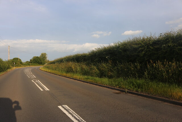
Great Bridgeford is a small village located in the county of Staffordshire, England. Situated approximately 6 miles east of Stafford, it lies in the borough of Stafford and Stone. The village is positioned on the A5013 road, providing easy access to nearby towns and cities.

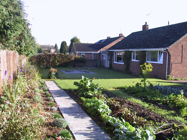
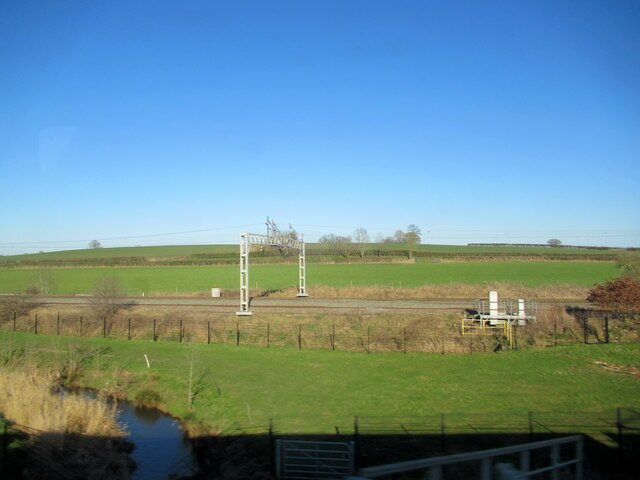
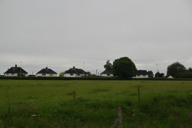
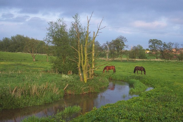
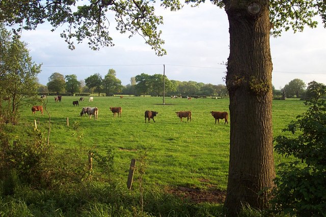
Known for its picturesque countryside surroundings, Great Bridgeford offers a peaceful and rural setting for its residents. The village is bordered by open fields and farmland, providing ample opportunities for walking, cycling, and enjoying the outdoors. The nearby River Sow also adds to the charm of the area, offering scenic views and opportunities for fishing.

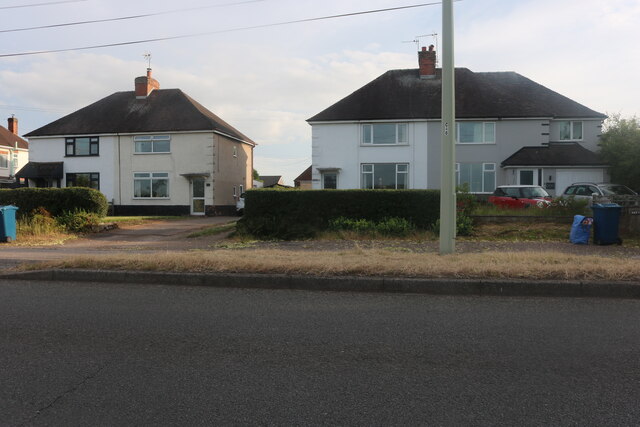
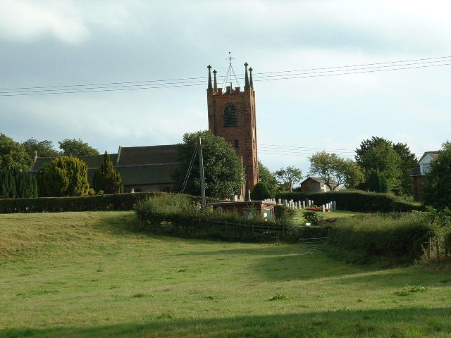
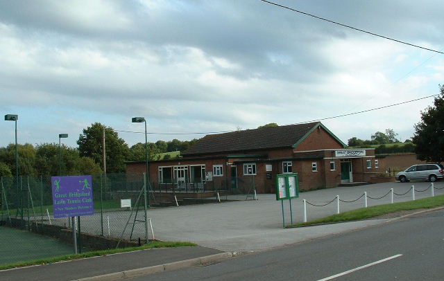
Despite its small size, Great Bridgeford boasts a strong sense of community. The village features a local primary school, which serves the educational needs of the surrounding area. Additionally, there is a village hall, which serves as a hub for various community activities and events.

For amenities, residents can rely on the nearby town of Stafford, which offers a wide range of shops, supermarkets, restaurants, and leisure facilities. Stafford also provides excellent transport links, including a railway station and access to major road networks.

Great Bridgeford is a desirable location for those seeking a tranquil village lifestyle, while still being within easy reach of larger towns and cities. Its beautiful surroundings, strong community spirit, and convenient location make it an attractive place to live for both families and individuals alike.

If you have any feedback on the listing, please let us know in the comments section below.

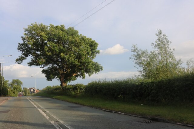
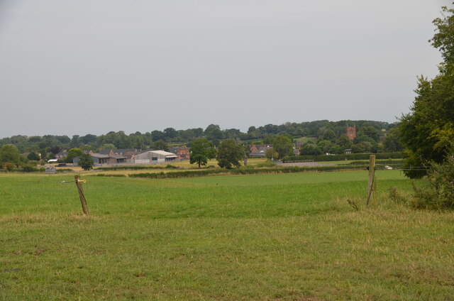
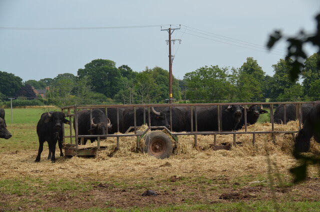
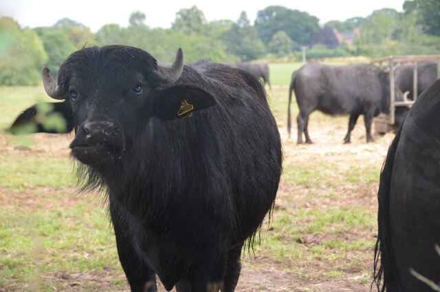
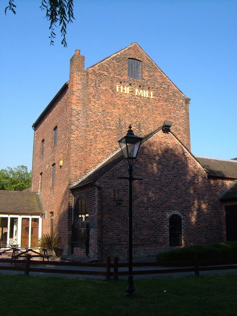
Great Bridgeford Images

Images are sourced within 2km of 52.840359/-2.175893 or Grid Reference SJ8827. Thanks to Geograph Open Source API. All images are credited.

Lavender Close Bungalows and back gardens on Lavender Close, Great Bridgeford, Stafford.
Lavender Close
Bungalows and back gardens on Lavender Close, Great Bridgeford, Stafford.
The River Sow at Little Bridgeford railway junction
Eccleshall Road, Great Bridgeford
Houses on Eccleshall Road, Great Bridgeford
Creswell Grove heading for Stafford
View over Seighford near Stafford A view of Seighford taken from Oldford Lane looking north, showing the red-brick tower of St Chad's on the right
View over Seighford near Stafford
A view of Seighford taken from Oldford Lane looking north, showing the red-brick tower of St Chad's on the right
Buffalo in field off the Combers, Seighford, Stafford An unusual feature of the British countryside. The buffalo are raised by Beeches Farm, Seighford. The milk, along with buffalo steak, is sold locally.
Buffalo in field off the Combers, Seighford, Stafford
An unusual feature of the British countryside. The buffalo are raised by Beeches Farm, Seighford. The milk, along with buffalo steak, is sold locally.
Buffalo close up One young buffalo comes forward to investigate the photographer. An unusual feature of the British countryside. The buffalo are raised by Beeches Farm, Seighford. The milk, along with buffalo steak, is sold locally.
Buffalo close up
One young buffalo comes forward to investigate the photographer. An unusual feature of the British countryside. The buffalo are raised by Beeches Farm, Seighford. The milk, along with buffalo steak, is sold locally.
Queues on the M6 near Whitgreave
Victorian wall-mounted postbox, Seighford near Stafford A Victorian wall-mounted postbox on Clanford Road, Seighford near Stafford.
Victorian wall-mounted postbox, Seighford near Stafford
A Victorian wall-mounted postbox on Clanford Road, Seighford near Stafford.
Cattle grazing on hillside
Houses, Eccleshall Rd
Seighford Church Looking south across square to church ( at southern edge of square)
Seighford Church
Looking south across square to church ( at southern edge of square)
Seighford Hall Near centre of square
Seighford Hall
Near centre of square
Great Bridgeford Hall and Tennis Club Situated at the north of the square near the A5013
Great Bridgeford Hall and Tennis Club
Situated at the north of the square near the A5013
River Sow at Little Bridgeford Great Bridgeford is in the distance
River Sow at Little Bridgeford
Great Bridgeford is in the distance
Field Near Great Bridgeford Looking SSW
Field Near Great Bridgeford
Looking SSW
The Mill at Worston A pub with a shady garden beside the River Sow and the main railway line to Stafford.
The Mill at Worston
A pub with a shady garden beside the River Sow and the main railway line to Stafford.
Show me another place!

Great Bridgeford is located at Grid Ref: SJ8827 (Lat: 52.840359, Lng: -2.175893)

Administrative County: Staffordshire

District: Stafford

Police Authority: Staffordshire

What 3 Words

///trouble.fond.vibrates. Near Eccleshall, Staffordshire

Related Wikis

Great Bridgeford railway station

Great Bridgeford railway station served the village of Great Bridgeford, Staffordshire, England from 1837 to 1959 on the Stafford-Manchester line. ��2...

Great Bridgeford

Great Bridgeford is a village in the Borough of Stafford, Staffordshire, England, and a ward of Seighford civil parish. Population details taken at the...

Seighford Hall

Seighford Hall is a house that lies slightly to north-west of the core of Seighford, England. It appears to have later- 16th to early-17th origins but...

Whitgreave

Whitgreave is a very small village a few miles to the NNW of Stafford situated midway between the M6 motorway to the west and the A34 trunk road to the...

Izaak Walton's Cottage

The Izaak Walton Cottage is a seventeenth-century timber framed building in Shallowford, Chebsey, Staffordshire, England. It belonged to the writer Izaak...

Creswell, Staffordshire

Creswell is a small village on the north-western edge of Stafford, the county town of Staffordshire, England situated on elevated ground above the wide...

Seighford

Seighford ( SY-fərd) is a village and civil parish about 3 miles (5 km) west of Stafford in Staffordshire, England. The population of this civil parish...

Chebsey

Chebsey is a small village in Staffordshire 2.5 miles southeast of Eccleshall on a confluence of Eccleshall water and the River Sow some 5 miles northwest...

Nearby Amenities

Located within 500m of 52.840359,-2.175893
Great Bridgeford
Is In: Staffordshire,UK
Place: village
Source: npe
Wikidata: Q593524
Lat/Long: 52.8405875/-2.1742676
Bus Stop
Jasmine Road
Bus: yes
Naptan AtcoCode: 3800C704100
Naptan Bearing: SE
Naptan CommonName: Jasmine Road
Naptan Indicator: Opp
Naptan Landmark: Jasmine Rd
Naptan Street: Eccleshall Rd
Naptan Verified: no
Public Transport: platform
Source: naptan_import
Lat/Long: 52.8408391/-2.1782444
Bus Stop
Jasmine Road
Bus: yes
Naptan AtcoCode: 3800C704101
Naptan Bearing: NW
Naptan CommonName: Jasmine Road
Naptan Indicator: Adj
Naptan Landmark: Jasmine Road
Naptan Street: Eccleshall Road
Naptan Verified: no
Public Transport: platform
Source: naptan_import
Lat/Long: 52.841188/-2.179389
Bus Stop
Jasmine Road
Bus: yes
Naptan AtcoCode: 3800C721300
Naptan Bearing: NE
Naptan CommonName: Jasmine Road
Naptan Indicator: Adj
Naptan Landmark: Jasmine Road
Naptan Street: Newport Road
Naptan Verified: no
Public Transport: platform
Source: naptan_import
Lat/Long: 52.8368294/-2.1784507
Bus Stop
Jasmine Road
Bus: yes
Naptan AtcoCode: 3800C721301
Naptan Bearing: SW
Naptan CommonName: Jasmine Road
Naptan Indicator: Opp
Naptan Landmark: Jasmine Rd
Naptan Street: Newport Rd
Naptan Verified: no
Public Transport: platform
Source: naptan_import
Lat/Long: 52.8366226/-2.1784943
Bus Stop
Whitgreave Lane
Bench: yes
Bus: yes
Naptan AtcoCode: 3800C742401
Naptan Bearing: E
Naptan CommonName: Whitgreave Lane
Naptan Indicator: Adj
Naptan Landmark: Whitgreave Ln
Naptan Street: Eccleshall Rd
Naptan Verified: no
Public Transport: platform
Shelter: yes
Source: naptan_import
Lat/Long: 52.8400373/-2.1733122
Bus Stop
Whitgreave Lane
Bus: yes
Naptan AtcoCode: 3800C742402
Naptan Bearing: W
Naptan CommonName: Whitgreave Lane
Naptan Indicator: Opp
Naptan Landmark: Whitgreave Ln
Naptan Street: Eccleshall Rd
Naptan Verified: no
Public Transport: platform
Shelter: yes
Source: naptan_import
Lat/Long: 52.8399472/-2.1734603
Crossing
Crossing: traffic_signals
Source: survey
Lat/Long: 52.8408809/-2.1784888
Post Box
Collection Times: Mo-Fr 04:45; Sa 07:00
Ref: ST18 434
Royal Cypher: EIIR
Royal Cypher Wikidata: Q33102113
Lat/Long: 52.837107/-2.1782631
Waterway: weir
Lat/Long: 52.8402101/-2.1744267
Power: pole
Lat/Long: 52.8379868/-2.1726805
Material: wood
Power: pole
Lat/Long: 52.8376142/-2.1706072
Power: pole
Lat/Long: 52.8365237/-2.1759635
Power: pole
Lat/Long: 52.8381818/-2.1743786
Power: pole
Lat/Long: 52.8375515/-2.173303
Bench
Backrest: yes
Material: wood
Lat/Long: 52.8398148/-2.1752889
Colour: blue
Note: a zip line is positioned a couple metres to the right of this climing frame.
Playground: climbingframe
Playground Theme: play
Lat/Long: 52.8412339/-2.1816098
Drinking Water: no
Man Made: water_well
Pump: manual
Working: no
Lat/Long: 52.841753/-2.1724771
The data included in this document is from www.openstreetmap.org. The data is made available under ODbL.

Have you been to Great Bridgeford?

Leave your review of Great Bridgeford below (or comments, questions and feedback).