Bridge Pool
Lake, Pool, Pond, Freshwater Marsh in Angus
Scotland
Bridge Pool
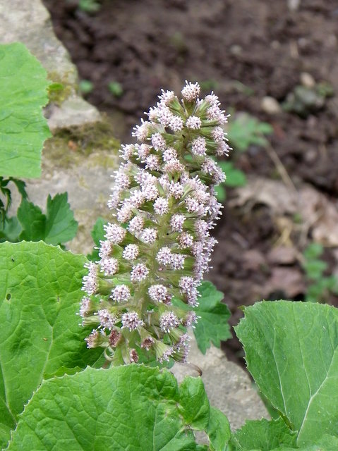
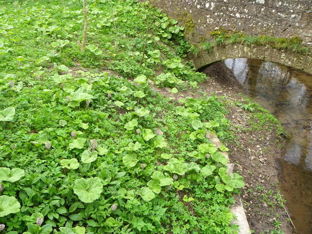
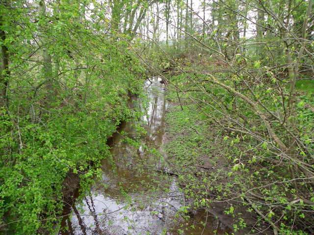
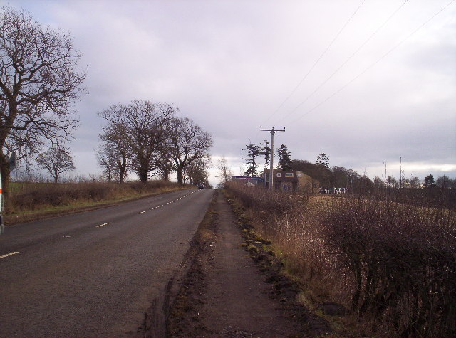
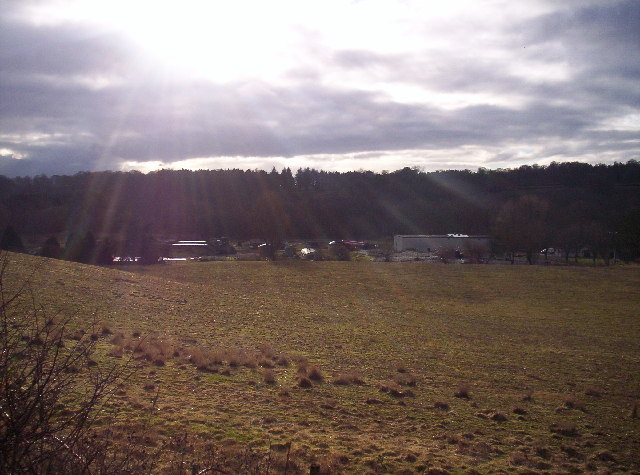
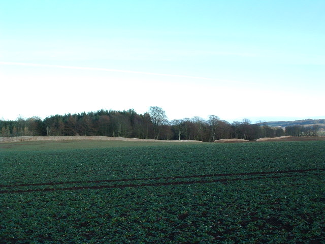
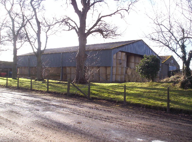
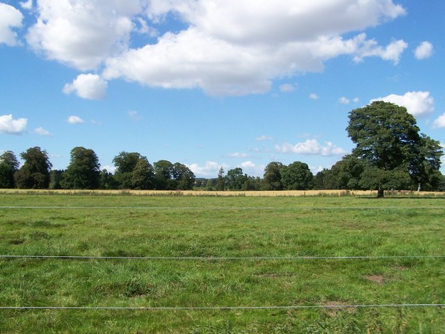
Bridge Pool is a picturesque freshwater pond located in Angus, Scotland. Nestled amidst rolling hills and lush greenery, it offers a tranquil retreat for nature enthusiasts and anglers alike. The pool, which spans approximately half an acre, is fed by a small stream and is surrounded by a diverse range of vegetation, including reeds, rushes, and water lilies.
The water in Bridge Pool is known for its clarity and purity, making it a haven for various species of fish. Anglers can try their luck at catching brown trout, which are abundant in the pool. These trout are known for their fighting spirit and are highly sought after by fishing enthusiasts.
The pool is easily accessible, with a small footbridge providing a convenient crossing over the stream. It is a popular spot for local residents and visitors to enjoy picnics, leisurely walks, and bird-watching. The surrounding area is home to a variety of bird species, including ducks, swans, and herons, which can often be spotted gliding gracefully across the water or nesting in the nearby trees.
Bridge Pool offers a serene setting, where visitors can immerse themselves in the beauty of nature and unwind from the stresses of daily life. Whether it's casting a fishing line, exploring the walking trails, or simply enjoying the peaceful atmosphere, this freshwater pond is a hidden gem in the heart of Angus.
If you have any feedback on the listing, please let us know in the comments section below.
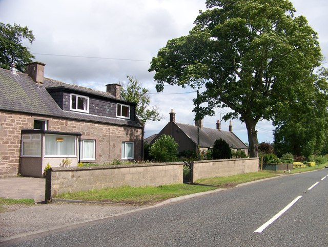
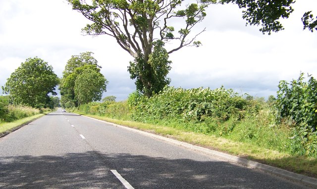
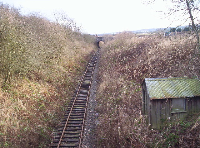
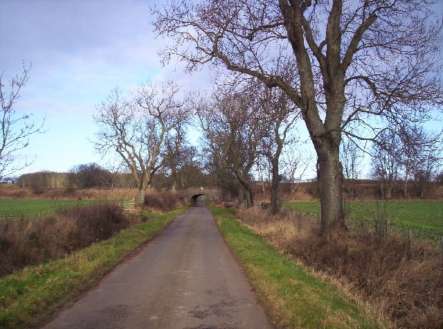
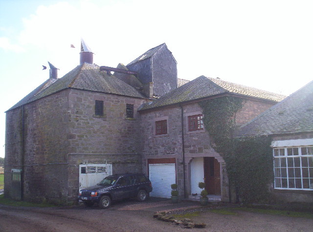
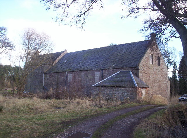
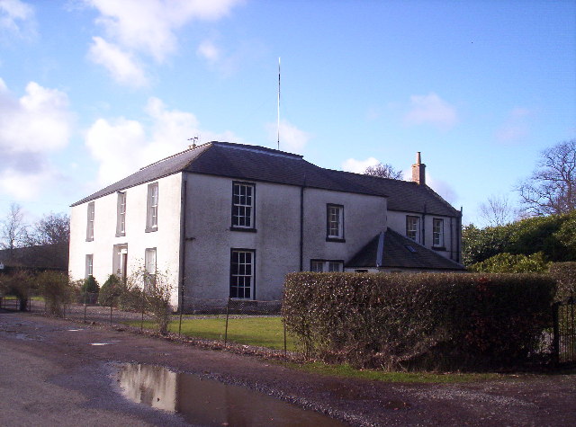
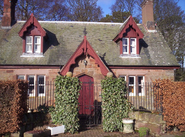
Bridge Pool Images
Images are sourced within 2km of 56.713326/-2.6015589 or Grid Reference NO6358. Thanks to Geograph Open Source API. All images are credited.
Bridge Pool is located at Grid Ref: NO6358 (Lat: 56.713326, Lng: -2.6015589)
Unitary Authority: Angus
Police Authority: Tayside
What 3 Words
///bulbs.awestruck.paradise. Near Brechin, Angus
Nearby Locations
Related Wikis

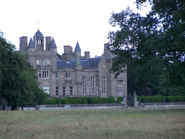
Kinnaird Castle, Brechin
Kinnaird Castle is a 15th-century castle near Brechin in Angus, Scotland. The castle has been home to the Carnegie family, the Earls of Southesk, for more...

Farnell, Angus
Farnell is a village in Angus, Scotland. It lies 2 miles south of the River South Esk, between Brechin and Montrose, near Kinnaird Castle. == References ==

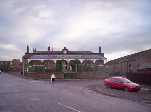
Farnell Road railway station
Farnell Road railway station served the village of Farnell, Angus, Scotland from 1848 to 1956 on the Aberdeen Railway. == History == The station opened...

Bridge of Dun
Bridge of Dun is a village in Angus, Scotland, located north of the River South Esk and south of the A935 road from Brechin to Montrose. == History... ==
Brechin Victoria F.C.
Brechin Victoria Junior Football Club are a Scottish Junior football club based in Brechin, Angus. Their home ground is Victoria Park. The club have recently...

Bridge of Dun railway station
Bridge of Dun is a privately owned station in Angus. The adjacent platforms and line are independently operated as a preserved railway by the Caledonian...
Caledonian Railway (Brechin)
The Caledonian Railway (Brechin) Ltd is a private limited company formed by a group of steam railway enthusiasts, the Brechin Railway Preservation Society...
Brechin railway station
Brechin is a station in Angus, on the Caledonian Railway line. == History == The station opened for business on 1 February 1848. Initially four trains...
Nearby Amenities
Located within 500m of 56.713326,-2.6015589Have you been to Bridge Pool?
Leave your review of Bridge Pool below (or comments, questions and feedback).